Àird Rangabhat
Landscape Feature in Ross-shire
Scotland
Àird Rangabhat

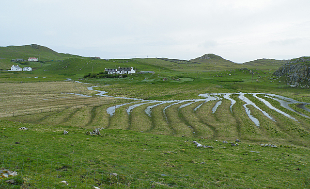
Àird Rangabhat is a stunning landscape feature located in Ross-shire, Scotland. Situated on the western coast, it is known for its breathtaking views of the Atlantic Ocean and the surrounding rugged terrain.
The area is characterized by its dramatic cliffs, which rise majestically from the sea, offering panoramic vistas of the coastline. These cliffs are made up of a mix of ancient rocks, including sandstone and limestone, which have been shaped and sculpted by years of erosion from the crashing waves. This erosion has formed natural arches and caves, adding to the beauty and intrigue of Àird Rangabhat.
In addition to its impressive cliffs, Àird Rangabhat is home to a diverse range of flora and fauna. The coastal heathland is covered in a patchwork of vibrant wildflowers, including purple heather, yellow gorse, and white sea thrift. This provides a habitat for a variety of bird species, such as kittiwakes, fulmars, and puffins, which can be spotted nesting on the cliffs.
The location also holds historical significance, with the remains of an Iron Age fort perched atop one of the cliffs. This ancient structure offers a glimpse into the rich history of the area and adds an extra layer of intrigue to the landscape.
Overall, Àird Rangabhat is a captivating landscape feature that showcases the raw beauty and power of nature. Its dramatic cliffs, diverse wildlife, and historical significance make it a must-visit destination for nature enthusiasts and history buffs alike.
If you have any feedback on the listing, please let us know in the comments section below.
Àird Rangabhat Images
Images are sourced within 2km of 58.168216/-7.0322432 or Grid Reference NB0430. Thanks to Geograph Open Source API. All images are credited.


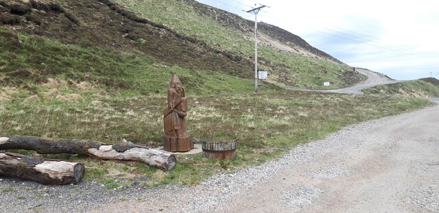
![Track leading into West Lewis hills Looking southwards on the long track which leads from the Timsgearraidh - Breanais road south of Carnais into the West Lewis hills. [scanned photograph]](https://s0.geograph.org.uk/photos/72/49/724920_fdf9cc37.jpg)


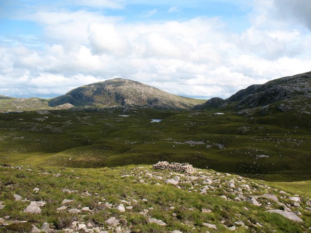
![Druim Lochan nan Learga Moorland to the south of the estate track that leads to Loch Reonasgail. This view southwards takes in the hill of Brinneabhal [213m in sunshine], with the northern spur of Mealaisbhal [Mula mac Sgiathain, 480m] beyond.](https://s0.geograph.org.uk/geophotos/01/45/91/1459172_634a34aa.jpg)
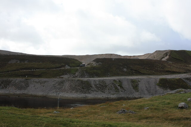
![Estate track to Loch Reonasgail This well surfaced and graded track passes through a corner of this square for around 150m [according to the 1:25000 map]. The track leads south into wild country, passing Loch Reonasgail and eventually over the Bealach Raonasgail to reach the shore of Loch Cheann Chuisil.](https://s1.geograph.org.uk/geophotos/01/45/91/1459181_01eddca9.jpg)


Àird Rangabhat is located at Grid Ref: NB0430 (Lat: 58.168216, Lng: -7.0322432)
Unitary Authority: Na h-Eileanan an Iar
Police Authority: Highlands and Islands
What 3 Words
///ironclad.eradicate.baked. Near Carloway, Na h-Eileanan Siar
Nearby Locations
Related Wikis

Abhainn Dearg distillery
Abhainn Dearg distillery ( AV-in JAIRG) or Red River distillery is a Scotch whisky distillery in Uig, on the west coast of the Isle of Lewis in the Outer...

Ardroil
Ardroil (Scottish Gaelic: Eadar Dhà Fhadhail) is a village on the Isle of Lewis in the Outer Hebrides, Scotland. Ardroil is within the parish of Uig....

Uig, Lewis
Uig (Scottish Gaelic: Ùig [uːkʲ]), also known as Sgìr' Ùig, is a civil parish and community in the west of the Isle of Lewis in the Outer Hebrides, Scotland...

Gasker
Gasker is a small uninhabited islet in the Outer Hebrides of Scotland, 8 kilometres (4+1⁄2 nautical miles) southwest of Scarp, off the west coast of Harris...

Timsgarry
Timsgarry (Scottish Gaelic: Tuimisgearraidh) is a village on the Isle of Lewis, in the Outer Hebrides, Scotland. Timsgarry is home to the Baile na Cille...
Camas Uig
Camas Uig (Uig Bay) is a bay on the west coast of the Isle of Lewis, in the Outer Hebrides of Scotland. The Lewis Chessmen were discovered in the dunes...

Stac Dhòmhnaill Chaim
Stac Dhòmnuill Chaim, or Stac Dhòmhnaill Chaim, or Stac Domhnuill Chaim, is a fortified promontory located near Mangursta (or Mangersta, Scottish Gaelic...

Cliff, Lewis
Cliff (Scottish Gaelic: Cliobh) is a small settlement on the Isle of Lewis, in the Outer Hebrides, Scotland. Cliff is within the parish of Uig. The settlement...
Have you been to Àird Rangabhat?
Leave your review of Àird Rangabhat below (or comments, questions and feedback).