Sandall's Cut

Lake, Pool, Pond, Freshwater Marsh in Cambridgeshire East Cambridgeshire

England

Sandall's Cut

Level crossing on Victoria Street The railway runs between Ely and Downham Market on the Fen Line. A train is coming.
Level crossing on Victoria Street Credit: Bill Boaden

Sandall's Cut is a picturesque freshwater marsh located in Cambridgeshire, England. It is a small body of water that can be classified as a combination of a lake, pool, and a pond. Spanning an area of approximately 100 square meters, Sandall's Cut is surrounded by lush vegetation, creating a serene and idyllic setting.

The water in Sandall's Cut is clear and calm, reflecting the surrounding greenery and providing a habitat for various aquatic plants and animals. The marsh is fed by natural springs and rainfall, ensuring a constant supply of fresh water throughout the year. The water level remains relatively stable, making it an ideal environment for the diverse wildlife that thrives in the area.

The marsh is home to an array of plant species, including water lilies, reeds, and rushes, which provide shelter and nesting sites for many bird species. Visitors to Sandall's Cut may spot ducks, swans, herons, and other waterfowl gracefully gliding across the surface of the water. The marsh also attracts a variety of insects, such as dragonflies and damselflies, adding to the vibrant ecosystem.

The surrounding area of Sandall's Cut is accessible via well-maintained footpaths, allowing visitors to explore the marsh and enjoy the tranquility of nature. Birdwatching and nature photography are popular activities, as the marsh provides ample opportunities to observe and capture the beauty of its inhabitants.

Overall, Sandall's Cut in Cambridgeshire offers a peaceful retreat for both nature enthusiasts and those seeking a moment of serenity in a natural setting. With its diverse plant and animal life, it is a haven for wildlife and a delight for visitors who appreciate the beauty of freshwater marshes.

If you have any feedback on the listing, please let us know in the comments section below.

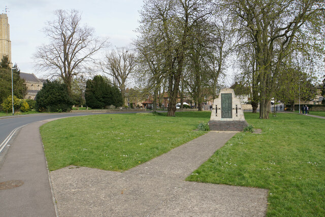
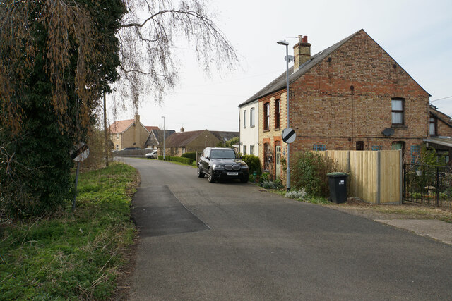
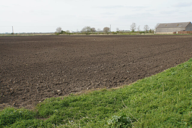
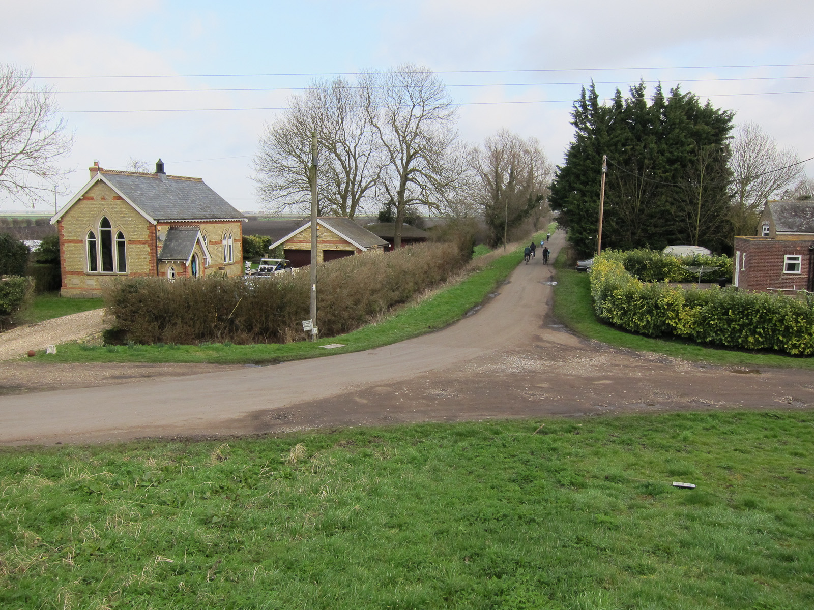
Sandall's Cut Images

Images are sourced within 2km of 52.453867/0.3186881 or Grid Reference TL5786. Thanks to Geograph Open Source API. All images are credited.

Level crossing on Victoria Street The railway runs between Ely and Downham Market on the Fen Line. A train is coming.
Level crossing on Victoria Street
The railway runs between Ely and Downham Market on the Fen Line. A train is coming.
River Great Ouse at Littleport Looking downstream from Sandhill Bridge.
River Great Ouse at Littleport
Looking downstream from Sandhill Bridge.
Victoria Street A long street in the village with mostly terraced housing, though not all in the same style.
Victoria Street
A long street in the village with mostly terraced housing, though not all in the same style.
Mini roundabout in Littleport Part of an inner circuit in the centre of the village.
Mini roundabout in Littleport
Part of an inner circuit in the centre of the village.
Back entrance of the Crown and a thatched building The thatched building with the impressive chimneys is occupied by Cambridgeshire ACRE, a charity dedicated to supporting and strengthening rural communities.
Back entrance of the Crown and a thatched building
The thatched building with the impressive chimneys is occupied by Cambridgeshire ACRE, a charity dedicated to supporting and strengthening rural communities.
Village green in Littleport The war memorial is at this western end. St George's Church is on the other side of the road to the left.
Village green in Littleport
The war memorial is at this western end. St George's Church is on the other side of the road to the left.
Cycle path and footpath by Camel Road These are the grounds of Littleport & East Cambs Academy.
Cycle path and footpath by Camel Road
These are the grounds of Littleport & East Cambs Academy.
The end of the 30 mph zone This would appear to be a bit premature as this is not the end of the village, and the road does not become any safer.
The end of the 30 mph zone
This would appear to be a bit premature as this is not the end of the village, and the road does not become any safer.
Prepared field by Fenway Farm The field is on the northern edge of Littleport.
Prepared field by Fenway Farm
The field is on the northern edge of Littleport.
Electricity pylons near Littleport
Forge Cottage, Littleport A former Toll House on an orphaned section of Mildenhall Road that had been the access to an original bridge across the Great Ouse. It served the Mildenhall Burntfen Turnpike Trust in the 19ᵗʰ C.

Milestone Society National ID: CA.LIT03
Forge Cottage, Littleport
A former Toll House on an orphaned section of Mildenhall Road that had been the access to an original bridge across the Great Ouse. It served the Mildenhall Burntfen Turnpike Trust in the 19ᵗʰ C. Milestone Society National ID: CA.LIT03
St George's Church, Littleport The church occupies the highest point of this village in the fens, like an Ely Cathedral in miniature.
St George's Church, Littleport
The church occupies the highest point of this village in the fens, like an Ely Cathedral in miniature.
Harley-Davidson monument, Littleport This sculpture is opposite the church. The inscription reads: "William Harley, whose son William S. Harley co-founded the Harley-Davidson Motor Company". It was erected in 2003, the 100th anniversary of the company's founding.
Harley-Davidson monument, Littleport
This sculpture is opposite the church. The inscription reads: "William Harley, whose son William S. Harley co-founded the Harley-Davidson Motor Company". It was erected in 2003, the 100th anniversary of the company's founding.
Misty dawn on the river Great Ouse at Littleport Picture taken from the riverbank at Littleport Boathaven
Misty dawn on the river Great Ouse at Littleport
Picture taken from the riverbank at Littleport Boathaven
Littleport Croft Park Road.
Littleport
Croft Park Road.
Littleport Library Formerly the Town Hall.
Littleport Library
Formerly the Town Hall.
Memorial to J.W. Nightall Outside Littleport Library:

“To the memory of James William Nightall GC, a son of Littleport and a railwayman.

“Locomotive fireman James Nightall was posthumously awarded the George Cross for his heroism in saving the people and town of Soham from death and destruction on the 2nd June 1944.

“He died, aged twenty-two and his driver Benjamin Gimbert GC was badly injured as they removed a blazing wagon laden with bombs from an ammunition train.

“This memorial was erected by Network SouthEast and Littleport Parish Council to record this gallant act and to mark the electrification of the Cambridge to King's Lynn railway line in 1992.”

See also:
<a href="https://www.geograph.org.uk/photo/3367979">TL5973 : Memorial tablet in St Andrew's Church to James Nightall and Benjamin Gimbert</a>
<a href="https://www.geograph.org.uk/photo/4352843">TL5972 : Soham Rail Disaster memorial</a>
<a href="https://www.geograph.org.uk/photo/270745">TL5873 : Memorial to railworkers at Soham</a>
Memorial to J.W. Nightall
Outside Littleport Library: “To the memory of James William Nightall GC, a son of Littleport and a railwayman. “Locomotive fireman James Nightall was posthumously awarded the George Cross for his heroism in saving the people and town of Soham from death and destruction on the 2nd June 1944. “He died, aged twenty-two and his driver Benjamin Gimbert GC was badly injured as they removed a blazing wagon laden with bombs from an ammunition train. “This memorial was erected by Network SouthEast and Littleport Parish Council to record this gallant act and to mark the electrification of the Cambridge to King's Lynn railway line in 1992.” See also: TL5973 : Memorial tablet in St Andrew's Church to James Nightall and Benjamin Gimbert TL5972 : Soham Rail Disaster memorial TL5873 : Memorial to railworkers at Soham
Disused Pumping Station Old Pumping Station next to Great Ouse River on Branch Bank road
Disused Pumping Station
Old Pumping Station next to Great Ouse River on Branch Bank road
Show me another place!

Sandall's Cut is located at Grid Ref: TL5786 (Lat: 52.453867, Lng: 0.3186881)

Division: Isle of Ely

Administrative County: Cambridgeshire

District: East Cambridgeshire

Police Authority: Cambridgeshire

Also known as: Sandy's Cut

What 3 Words

///companies.elevated.hobble. Near Littleport, Cambridgeshire

Related Wikis

Littleport railway station

Littleport railway station is on the Fen line in the east of England, serving the village of Littleport, Cambridgeshire. It is 76 miles (122 km) measured...

Littleport

Littleport is a village in East Cambridgeshire, in the Isle of Ely, Cambridgeshire, England. It lies about 6 miles (10 km) north-east of Ely and 6 miles...

River Lark

The River Lark crosses the border between Suffolk and Cambridgeshire in England. It is a tributary of the River Great Ouse, and was extended when that...

Burnt Fen

Burnt Fen is an area of low-lying land crossed by the A1101 road between Littleport in Cambridgeshire and Mildenhall in Suffolk, England. It is surrounded...

Chettisham railway station

Chettisham railway station is a former railway station in Chettisham, Cambridgeshire. It was on the Great Eastern Railway route between Ely and March....

Prickwillow railway station

Prickwillow railway station was located on the line between Ely and Shippea Hill in Cambridgeshire, England. It served the village of Prickwillow, and...

Brandon Bank

Brandon Bank is a hamlet in Cambridgeshire, England, although most of its buildings lie across the River Little Ouse in Norfolk. The population is included...

North East Cambridgeshire (UK Parliament constituency)

North East Cambridgeshire is a constituency represented in the House of Commons of the UK Parliament since 2010 by Steve Barclay, a Conservative. ��2...

Nearby Amenities

Located within 500m of 52.453867,0.3186881
Railway: level_crossing
Lat/Long: 52.4518331/0.3170945
Railway: level_crossing
Lat/Long: 52.4536875/0.317553
Post Box
Collection Times: Mo-Fr 17:00; Sa 09:00
Operator: Royal Mail
Post Box Type: lamp
Ref: CB6 74
Royal Cypher: EIIR
Royal Cypher Wikidata: Q33102113
Source: survey
Lat/Long: 52.4545806/0.3147828
Power: pole
Lat/Long: 52.4549666/0.3164954
Power: pole
Lat/Long: 52.4562541/0.3149029
Power: pole
Lat/Long: 52.4542567/0.3168702
Power: pole
Lat/Long: 52.4541158/0.3179298
Power: pole
Lat/Long: 52.4537508/0.3200115
Power: pole
Lat/Long: 52.4556203/0.3157363
Power: pole
Lat/Long: 52.4528249/0.3206992
Power: pole
Lat/Long: 52.451885/0.3213376
Power: pole
Lat/Long: 52.4541853/0.3172987
Power: pole
Lat/Long: 52.4509553/0.3220019
Power: pole
Lat/Long: 52.4569034/0.3140948
Railway: level_crossing
Lat/Long: 52.4518619/0.3170478
Railway: level_crossing
Lat/Long: 52.4537063/0.3174984
Power: pole
Lat/Long: 52.4538999/0.3191613
Building: yes
Lat/Long: 52.4558888/0.3196586
The data included in this document is from www.openstreetmap.org. The data is made available under ODbL.

Have you been to Sandall's Cut?

Leave your review of Sandall's Cut below (or comments, questions and feedback).