Loch Skene

Lake, Pool, Pond, Freshwater Marsh in Dumfriesshire

Scotland

Loch Skene

Upper Falls The last fall and smallest of the many waterfalls on the Tail Burn generically known as the Grey Mare's Tail. To the left above the dyke is the Corbett of White Coomb.
Upper Falls Credit: Adam Ward

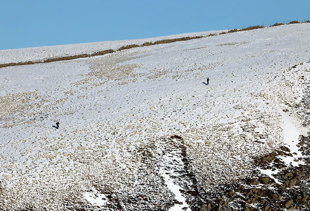
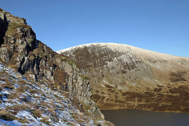
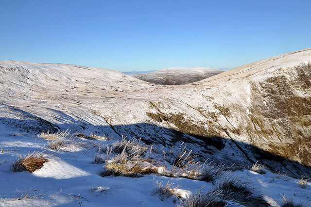
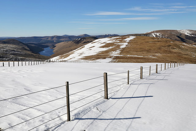
Loch Skene is a picturesque freshwater loch located in Dumfriesshire, Scotland. Situated within the Southern Uplands, it lies approximately 1,500 feet above sea level, nestled amidst the stunning scenery of the Moffat Hills. With a surface area of around 33 acres, the loch is surrounded by rocky hillsides and lush green vegetation, making it a haven for nature enthusiasts.

Characterized by its clear, freshwater, Loch Skene boasts a maximum depth of around 50 feet. It is primarily fed by small streams originating from the surrounding hills, ensuring a constant flow of fresh water. The loch is also home to a diverse range of aquatic plants, including water lilies and reeds, which thrive in its nutrient-rich waters.

Loch Skene is renowned for its abundant wildlife, attracting a variety of bird species, such as the red-throated diver, mallard, and tufted duck. The surrounding hills provide an ideal habitat for several mammals, including red deer and red squirrels, which can often be spotted in the area.

The loch is a popular destination for outdoor enthusiasts, offering opportunities for fishing, canoeing, and walking. Anglers are drawn to Loch Skene for its healthy population of brown trout, providing a rewarding challenge for fishing enthusiasts.

Access to Loch Skene is facilitated by a well-maintained footpath leading from the nearby Grey Mare's Tail Nature Reserve. The path offers stunning views of the cascading waterfall at Grey Mare's Tail, adding to the allure of visiting Loch Skene.

Overall, Loch Skene is a captivating freshwater loch, providing a tranquil retreat for those seeking to immerse themselves in the natural beauty of Dumfriesshire's landscape.

If you have any feedback on the listing, please let us know in the comments section below.
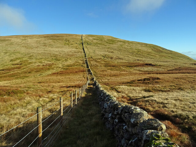
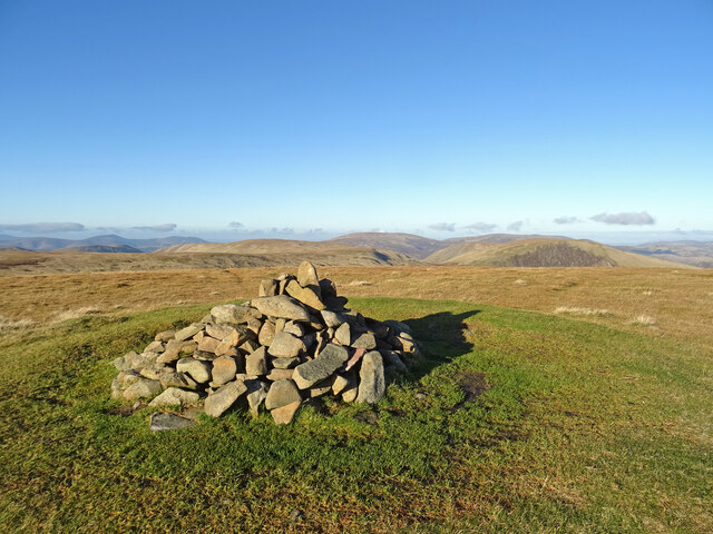
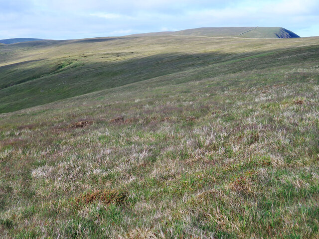
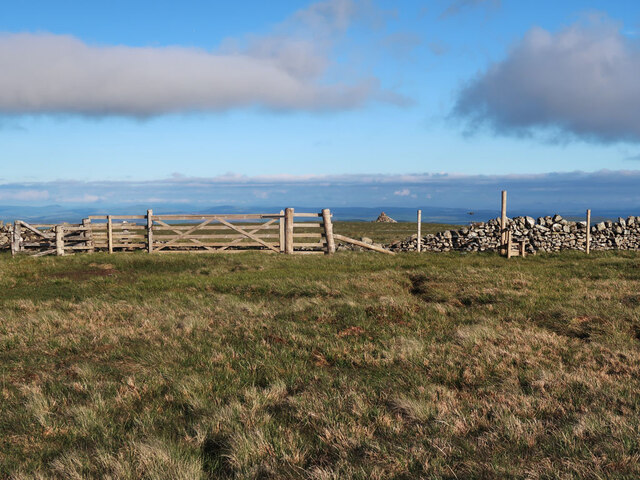
Loch Skene Images

Images are sourced within 2km of 55.435954/-3.3125385 or Grid Reference NT1716. Thanks to Geograph Open Source API. All images are credited.

Upper Falls The last fall and smallest of the many waterfalls on the Tail Burn generically known as the Grey Mare's Tail. To the left above the dyke is the Corbett of White Coomb.
Upper Falls
The last fall and smallest of the many waterfalls on the Tail Burn generically known as the Grey Mare's Tail. To the left above the dyke is the Corbett of White Coomb.
Tail Burn Looking across the Tail Burn to White Coomb on the left and Mid Craig on the right on a glorious autumnal day. Path very wet and boggy in places as can be seen in right foreground.
Tail Burn
Looking across the Tail Burn to White Coomb on the left and Mid Craig on the right on a glorious autumnal day. Path very wet and boggy in places as can be seen in right foreground.
Loch Skeen On the very boggy shore of Loch Skeen looking up to the Donald of Lochcraig Head and the crags of Loch Craig.
Loch Skeen
On the very boggy shore of Loch Skeen looking up to the Donald of Lochcraig Head and the crags of Loch Craig.
Talla Nick On the bealach between Lochcraig Head and Firthybrig Head in the Scottish Borders or rather right on the boundary between the Borders and Dumfries and Galloway. Any moisture falling on the left will end up on the east coast at Berwick on Tweed and any on the right will end up on the west coast at Annan on the Solway Firth.
Talla Nick
On the bealach between Lochcraig Head and Firthybrig Head in the Scottish Borders or rather right on the boundary between the Borders and Dumfries and Galloway. Any moisture falling on the left will end up on the east coast at Berwick on Tweed and any on the right will end up on the west coast at Annan on the Solway Firth.
White Coomb Summit Cairn On the summit of the Corbett and Donald of White Coomb - the 4th highest summit in the southern uplands. The 2nd and 3rd highest - of Broad Law and Cramalt Craig - can be seen above and to the right of the cairn. A glorious autumn day in the Borders Hills.
White Coomb Summit Cairn
On the summit of the Corbett and Donald of White Coomb - the 4th highest summit in the southern uplands. The 2nd and 3rd highest - of Broad Law and Cramalt Craig - can be seen above and to the right of the cairn. A glorious autumn day in the Borders Hills.
Drystane dyke and fence on Firthhope Rig The fence is a recent addition on the boundary of the Talla and Gameshope area managed by the Border Forest Trust, see <a href="https://www.geograph.org.uk/photo/7209729">NT1420 : Border Forest Trust information board at Talla Water</a>.
Drystane dyke and fence on Firthhope Rig
The fence is a recent addition on the boundary of the Talla and Gameshope area managed by the Border Forest Trust, see NT1420 : Border Forest Trust information board at Talla Water.
The top of Donald's Cleuch Looking towards Firthybrig Head, Lochcraig Head and Loch Craig.
The top of Donald's Cleuch
Looking towards Firthybrig Head, Lochcraig Head and Loch Craig.
Gate and style near Lochcraig Head summit The cairn beyond the gate is not at the highest point it is at a good viewpoint above Loch Skene.
Gate and style near Lochcraig Head summit
The cairn beyond the gate is not at the highest point it is at a good viewpoint above Loch Skene.
Ruined Shepherd's Cottage Beside the Tail Burn <span class="nowrap"><a title="https://canmore.org.uk/site/320760/tail-burn" rel="nofollow ugc noopener" href="https://canmore.org.uk/site/320760/tail-burn">Link</a><img style="margin-left:2px;" alt="External link" title="External link - shift click to open in new window" src="https://s1.geograph.org.uk/img/external.png" width="10" height="10"/></span>
Ruined Shepherd's Cottage
Beside the Tail Burn LinkExternal link
The Upper Falls at The Grey Mare's Tail
Walkers on Loch Craig This telephoto shot was taken from Mid Craig on a beautiful January day.
Walkers on Loch Craig
This telephoto shot was taken from Mid Craig on a beautiful January day.
Loch Skene The loch lies in a glaciated hanging valley in the Grey Mare’s Tail Nature Reserve owned by the National Trust for Scotland. Fishing is permitted, but vendace one of Britain’s rarest fresh water fish, must be returned to the loch. Mid Craig is on the left with the steep crags of Loch Craig south of Lochcraig Head on the right.
Loch Skene
The loch lies in a glaciated hanging valley in the Grey Mare’s Tail Nature Reserve owned by the National Trust for Scotland. Fishing is permitted, but vendace one of Britain’s rarest fresh water fish, must be returned to the loch. Mid Craig is on the left with the steep crags of Loch Craig south of Lochcraig Head on the right.
Walking on Mid Craig in early January The small gorge in shadow just left of centre is Midlaw Linn. For a view down Midlaw Linn, see <a href="https://www.geograph.org.uk/photo/686161">NT1616 : Midlaw Linn</a>.
Walking on Mid Craig in early January
The small gorge in shadow just left of centre is Midlaw Linn. For a view down Midlaw Linn, see NT1616 : Midlaw Linn.
Approaching Loch Skene There is a very good path from the Grey Mare’s Tail car park up to Loch Skene. The crags at Loch Craig are in the background.
Approaching Loch Skene
There is a very good path from the Grey Mare’s Tail car park up to Loch Skene. The crags at Loch Craig are in the background.
A rock outcrop on Mid Craig Lochcraig Head is in the background with Loch Skene below.
A rock outcrop on Mid Craig
Lochcraig Head is in the background with Loch Skene below.
Winter conditions on Mid Craig This is a view from Mid Craig to the col between Firthybrig Head and Lochcraig Head.
Winter conditions on Mid Craig
This is a view from Mid Craig to the col between Firthybrig Head and Lochcraig Head.
Loch Skeen, Loch Craig, Mid Craig and White Coomb View of Loch Skeen and the hills surrounding the loch including Loch Craig and White Coomb
Loch Skeen, Loch Craig, Mid Craig and White Coomb
View of Loch Skeen and the hills surrounding the loch including Loch Craig and White Coomb
Snow on Talla East Side This is a view towards Nickies Knowe with Talla Reservoir on the far left. There were large patches of snow on the tops on a lovely March day for hill walking.
Snow on Talla East Side
This is a view towards Nickies Knowe with Talla Reservoir on the far left. There were large patches of snow on the tops on a lovely March day for hill walking.
Show me another place!

Loch Skene is located at Grid Ref: NT1716 (Lat: 55.435954, Lng: -3.3125385)

Unitary Authority: Dumfries and Galloway

Police Authority: Dumfries and Galloway

Also known as: Loch Skeen

What 3 Words

///outbound.strictly.sculpting. Near Ettrick, Scottish Borders

Nearby Locations

Loch Skeen Loch Skene

Related Wikis

Loch Skeen

Loch Skeen or Loch Skene is a loch in Dumfries and Galloway in the south of Scotland. It is located about 10 miles to the north-east of Moffat and feeds...

White Coomb

White Coomb is a hill in the Moffat Hills range, part of the Southern Uplands of Scotland. Its broad summit is the highest point in the range and the registration...

Grey Mare's Tail, Moffat Hills

Grey Mare's Tail is a 60-metre (200 ft) hanging valley waterfall near to Moffat in southern Scotland. The fall is produced by the Tail Burn flowing from...

Dob's Linn

Dob's Linn is a small steep valley in Dumfries and Galloway, just north of the A708 road between Moffat and Selkirk, in Scotland. It is part of the Grey...

Nearby Amenities

Located within 500m of 55.435954,-3.3125385
Ford: yes
Lat/Long: 55.4332264/-3.3072353
The data included in this document is from www.openstreetmap.org. The data is made available under ODbL.

Have you been to Loch Skene?

Leave your review of Loch Skene below (or comments, questions and feedback).