Van Pool

Lake, Pool, Pond, Freshwater Marsh in Montgomeryshire

Wales

Van Pool

Glyndwr's Way near Van Van may be seen in the distance
Glyndwr's Way near Van Credit: Dave Kelly

The requested URL returned error: 429 Too Many Requests

If you have any feedback on the listing, please let us know in the comments section below.
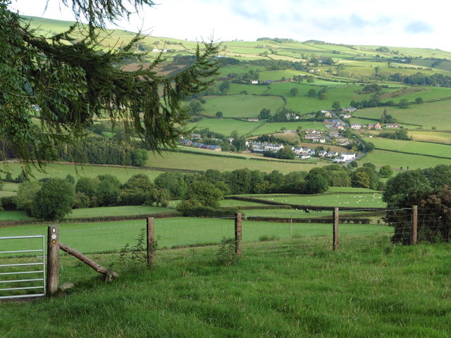
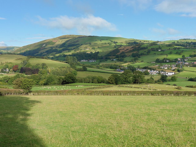
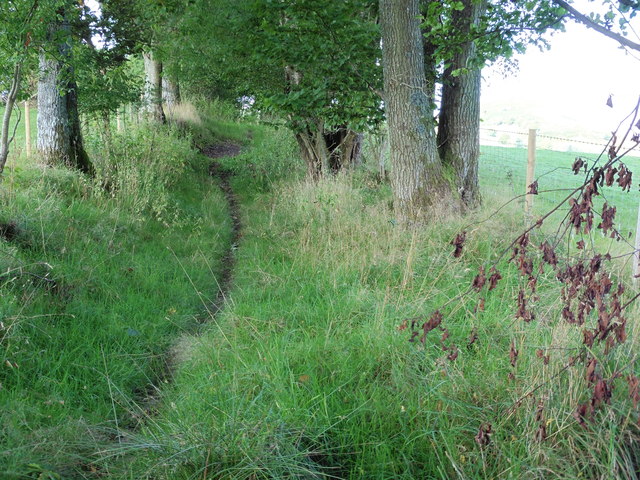
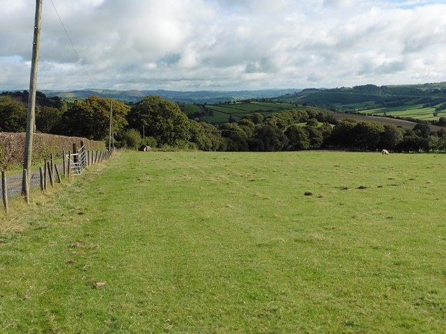
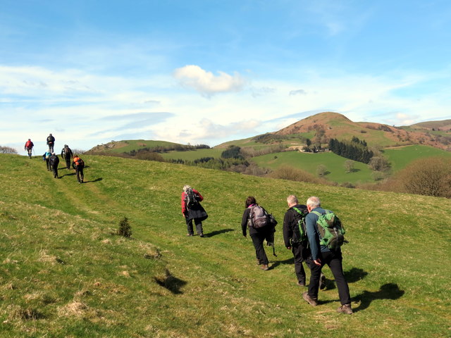
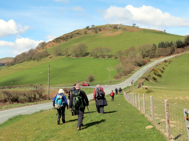
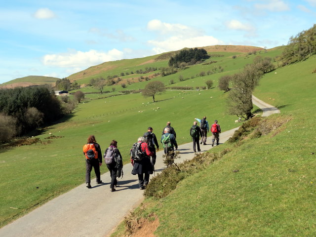
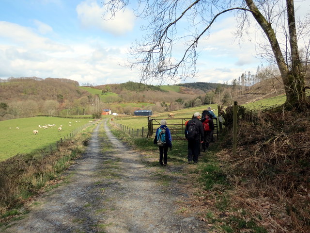
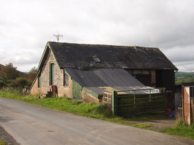
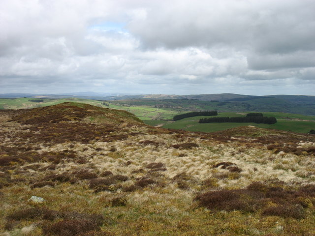
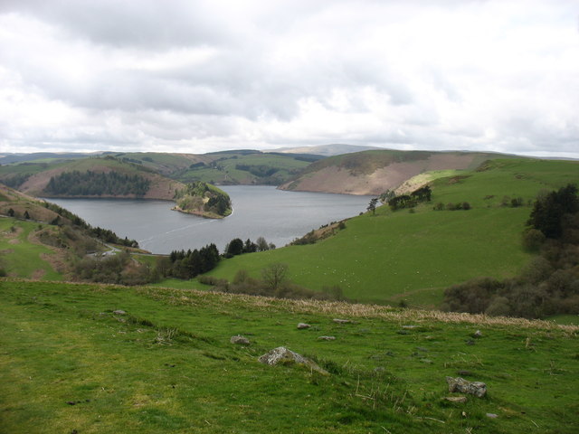
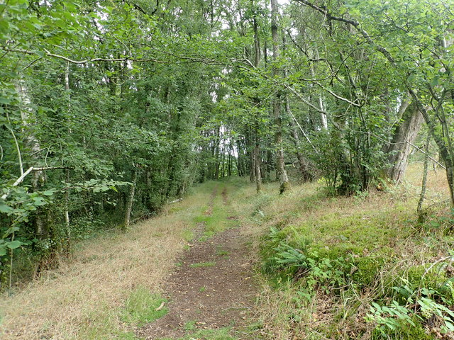
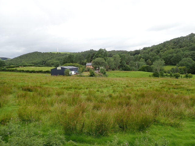
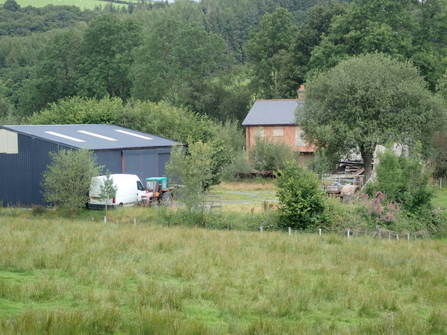
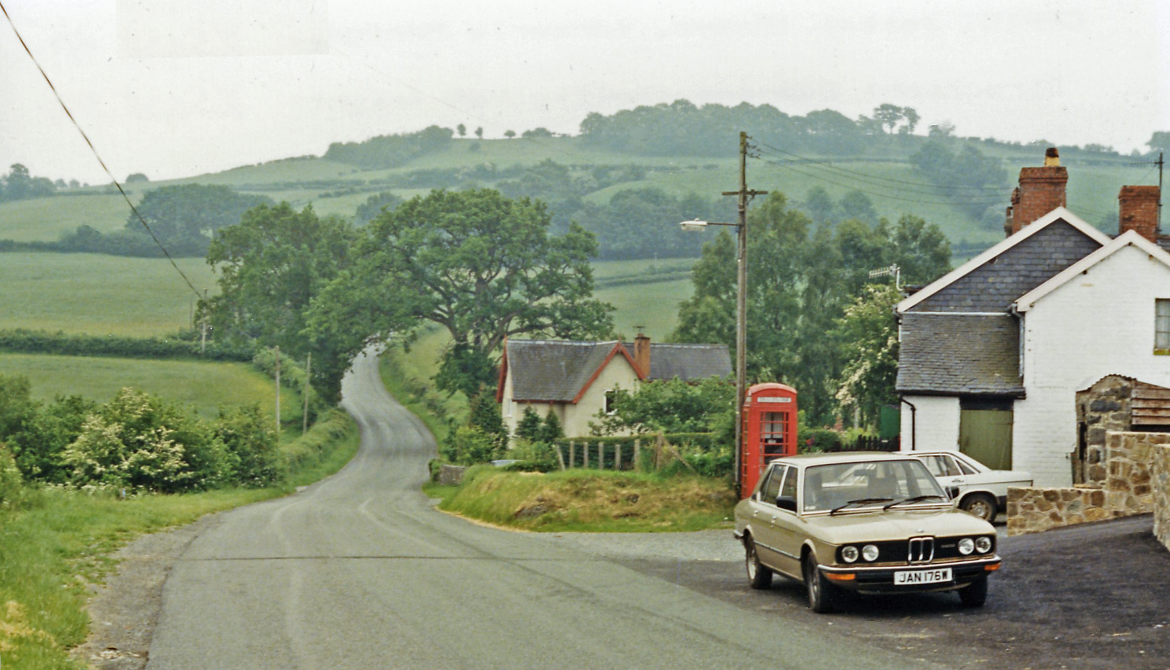
Van Pool Images

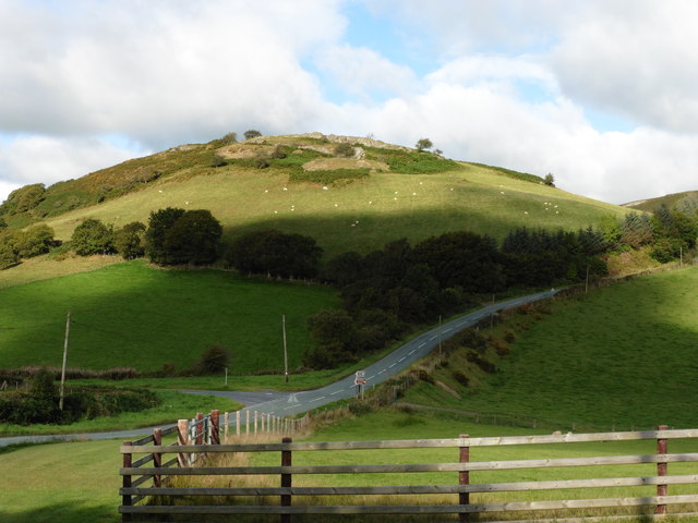
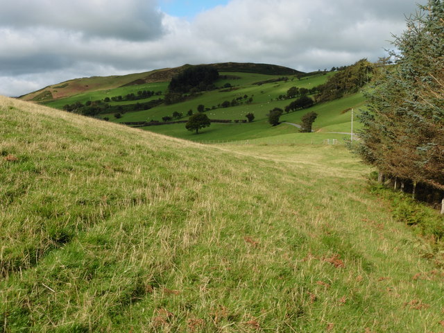
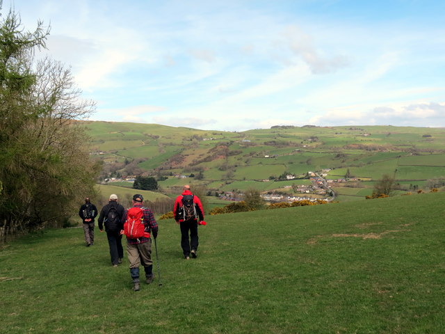
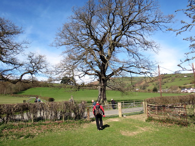
Images are sourced within 2km of 52.474679/-3.5621328 or Grid Reference SN9387. Thanks to Geograph Open Source API. All images are credited.

Glyndwr's Way near Van Van may be seen in the distance
Glyndwr's Way near Van
Van may be seen in the distance
Glyndwr's Way near Van
Glyndwr's Way near to the B4518
Glyndwr's Way by the B4518
Glyndwr's Way near to the B4518 This section of the path has been re-routed to a field parallel to the road.
Glyndwr's Way near to the B4518
This section of the path has been re-routed to a field parallel to the road.
Ger Bron y Geifr / Near Bron y Geifr Cerddwyr yn dilyn Llwybr Glyndwr. Yr anheddiad yn y pellter yw y Fan.

Walkers following the Glyndwr Way. The settlement in the distance is the Fan (trans. peak).
Ger Bron y Geifr / Near Bron y Geifr
Cerddwyr yn dilyn Llwybr Glyndwr. Yr anheddiad yn y pellter yw y Fan. Walkers following the Glyndwr Way. The settlement in the distance is the Fan (trans. peak).
Ger y Fan / Near Y Fan Cerddwyr yn dilyn Llwybr Glyndwr ger pentre o'r enw'r Fan.

Walkers following Glyndwr's Way near a village called Y Fan (the peak).
Ger y Fan / Near Y Fan
Cerddwyr yn dilyn Llwybr Glyndwr ger pentre o'r enw'r Fan. Walkers following Glyndwr's Way near a village called Y Fan (the peak).
Y Garth / Garth Hill Cerddwyr yn dilyn Llwybr Glyndwr ar fryn o'r enw'r Garth.

Walkers following Glyndwr's Way on Garth Hill.
Y Garth / Garth Hill
Cerddwyr yn dilyn Llwybr Glyndwr ar fryn o'r enw'r Garth. Walkers following Glyndwr's Way on Garth Hill.
Ger Bidffald/ Nead Bidffald Cerddwyr yn dilyn Llwybr Glyndwr ar hyd y B4518.

Walkers following Glyndwr's Way along the B4518.
Ger Bidffald/ Nead Bidffald
Cerddwyr yn dilyn Llwybr Glyndwr ar hyd y B4518. Walkers following Glyndwr's Way along the B4518.
Heol Ffarm Bryntail Road Cerddwyr yn dilyn Llwybr Glyndwr ar heol sy'n arwain at Ffarm Bryntail.

Walkers following Glyndwr's Way along the access road to Bryntail Farm (trans. dung hill).
Heol Ffarm Bryntail Road
Cerddwyr yn dilyn Llwybr Glyndwr ar heol sy'n arwain at Ffarm Bryntail. Walkers following Glyndwr's Way along the access road to Bryntail Farm (trans. dung hill).
Ger Rhyd y Gwreiddyn / Near Rhyd y Gwreiddyn Cerddwyr yn dilyn llwybr cyhoeddus ger Ffarm Rhyd y Gwreiddyn.

Walkers following a public footpath near Rhyd y Gwreiddyn Farm (ford of the stream source).
Ger Rhyd y Gwreiddyn / Near Rhyd y Gwreiddyn
Cerddwyr yn dilyn llwybr cyhoeddus ger Ffarm Rhyd y Gwreiddyn. Walkers following a public footpath near Rhyd y Gwreiddyn Farm (ford of the stream source).
Old Barn Near Bwlchyfan
The summit ridge of Bryn y Fan Seen from the trig point.
The summit ridge of Bryn y Fan
Seen from the trig point.
Llyn Clywedog reservoir Looking down to the Bwlch-y-gle dam from the slopes of Bryn y Fan. This dam is not the main one for the reservoir (that is in <a href="https://www.geograph.org.uk/gridref/SN9187">SN9187</a>), but was constructed to enable the level to be that much higher without the water escaping down this minor alternative outlet.

I have to say that I think the design of these essential reservoirs, here and in the Elan Valley, was an excellent example of sensitive landscape modification.
Llyn Clywedog reservoir
Looking down to the Bwlch-y-gle dam from the slopes of Bryn y Fan. This dam is not the main one for the reservoir (that is in SN9187), but was constructed to enable the level to be that much higher without the water escaping down this minor alternative outlet. I have to say that I think the design of these essential reservoirs, here and in the Elan Valley, was an excellent example of sensitive landscape modification.
Footpath in Coed Cwmeryr Following the Sarn Sabrina Walk, a 25 mile circular waymarked walk. The route is named after the Celtic myth of Sabrina, a water nymph said to inhabit the waters of the River Severn.
Footpath in Coed Cwmeryr
Following the Sarn Sabrina Walk, a 25 mile circular waymarked walk. The route is named after the Celtic myth of Sabrina, a water nymph said to inhabit the waters of the River Severn.
Rhyd-y-gwreiddyn Small farmstead in the hills north-west of Llanidloes
Rhyd-y-gwreiddyn
Small farmstead in the hills north-west of Llanidloes
Rhyd-y-gwreiddyn Farm in the hills near Llanidloes - the house seems unoccupied, though the roof and shed look new.
Rhyd-y-gwreiddyn
Farm in the hills near Llanidloes - the house seems unoccupied, though the roof and shed look new.
Show me another place!

Van Pool is located at Grid Ref: SN9387 (Lat: 52.474679, Lng: -3.5621328)

Unitary Authority: Powys

Police Authority: Dyfed Powys

Also known as: Llyn y Fan

What 3 Words

///readers.froze.crumb. Near Llanidloes, Powys

Nearby Locations

Llyn y Fan Van Pool

Related Wikis

Garth and Van Road railway station

Garth and Van Road railway station served the village of Garth, in the historical county of Montgomeryshire, Wales, from 1873 to 1940 on the Van Railway...

Van, Llanidloes

Van (Welsh: Y Fan) is a hamlet in Powys, Mid Wales, located to the north west of Llanidloes. Its name, an anglicisation of the local Welsh placename "Fan...

Cerist railway station

Cerist railway station served the town of Llanidloes, in the historical county of Montgomeryshire, Wales, from 1873 to 1940 on the Van Railway. == History... ==
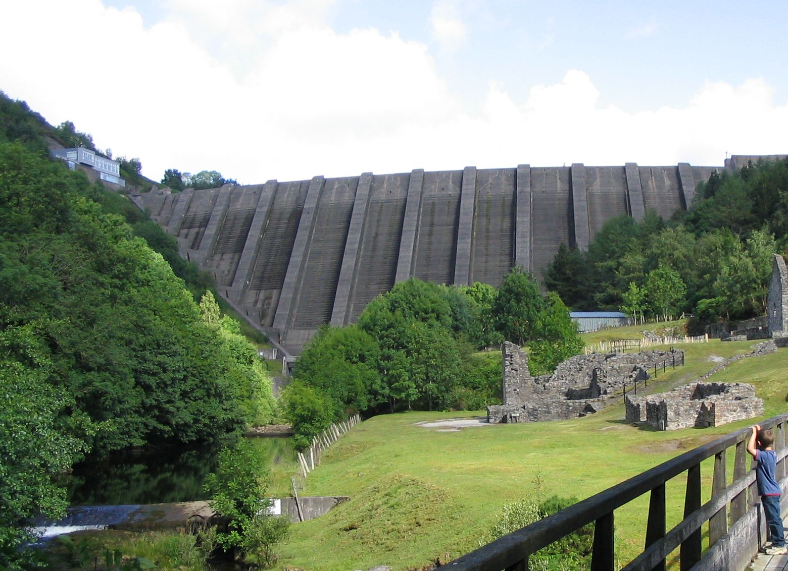
Bryntail lead mine

Bryntail lead mine is a disused lead mine near Llanidloes in Powys, Wales. Sited on the Afon Clywedog and in the shadow on the Clywedog reservoir dam,...

Nearby Amenities

Located within 500m of 52.474679,-3.5621328
Y Fan
Created By: POI Editor
Is In: Powys
Place: village
Source: npe
Wikidata: Q7913077
Lat/Long: 52.4769586/-3.5594608
Garth Hill
Ele: 248
Natural: peak
Lat/Long: 52.4714988/-3.5572941
Place: farm
Lat/Long: 52.4773987/-3.5579804
The data included in this document is from www.openstreetmap.org. The data is made available under ODbL.

Have you been to Van Pool?

Leave your review of Van Pool below (or comments, questions and feedback).