Greenfield

Settlement in Oxfordshire South Oxfordshire

England

Greenfield

Red Lane at the junction of Patemore Lane
Red Lane at the junction of Patemore Lane Credit: David Howard

Greenfield is a small village located in the county of Oxfordshire, England. Situated approximately four miles south of the city of Oxford, it falls within the Cherwell district. With a population of around 1,200 residents, it maintains a close-knit community atmosphere.

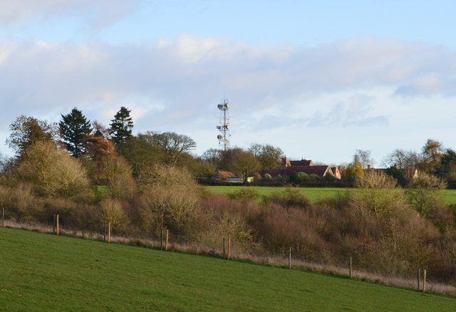
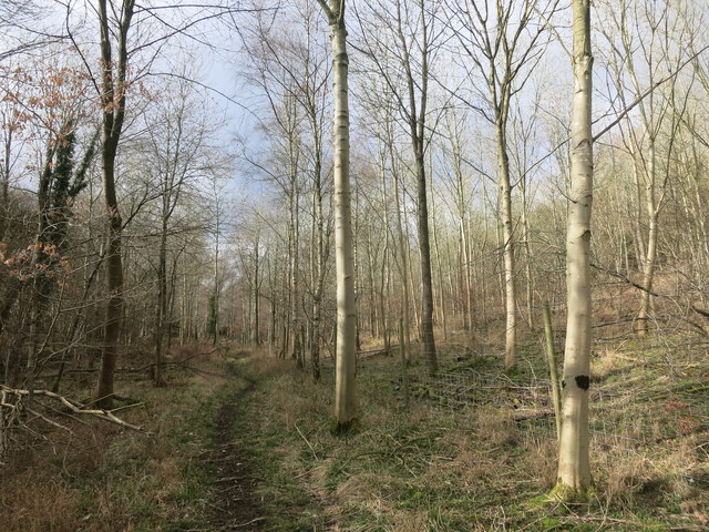
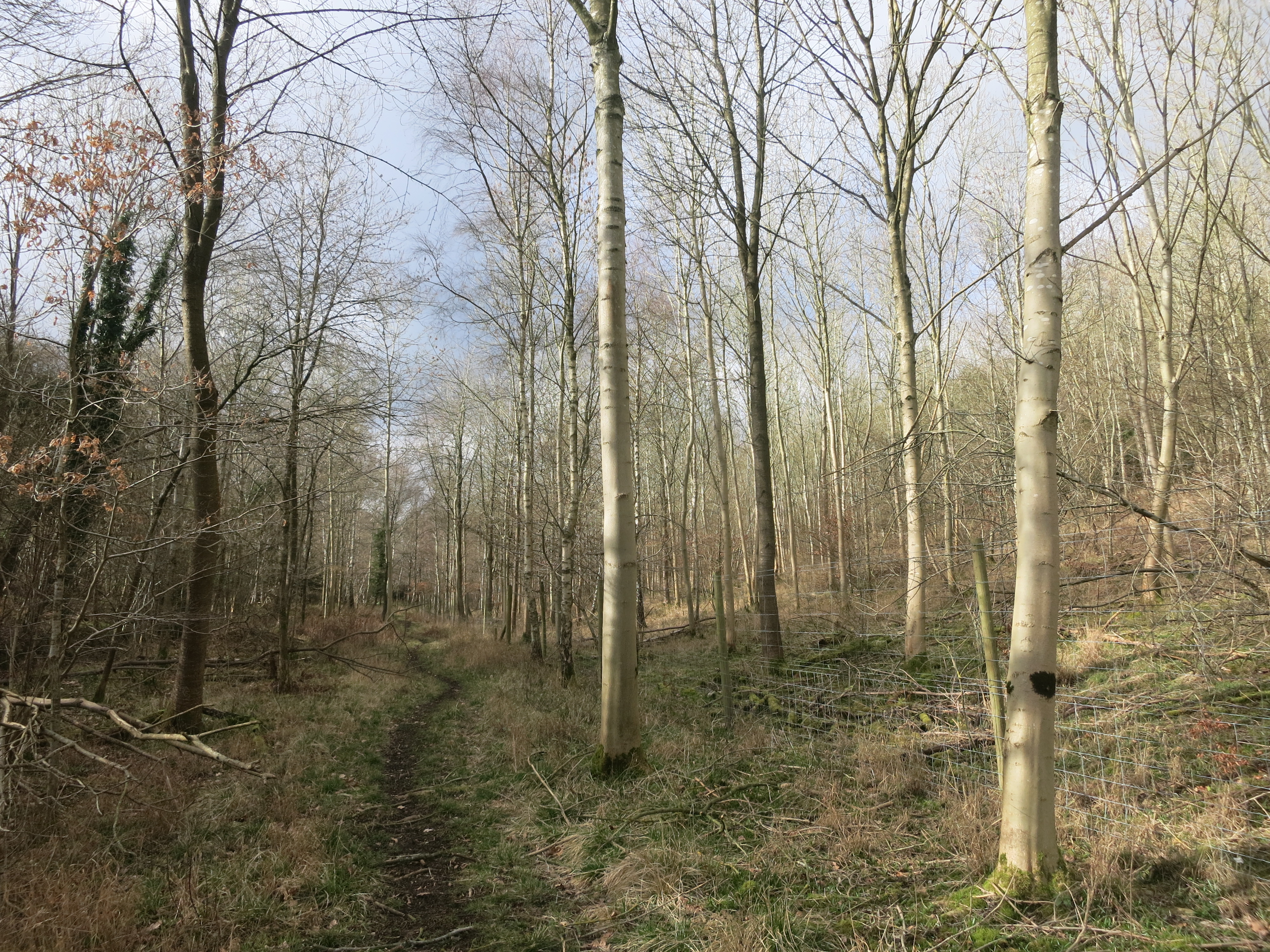
The village is known for its picturesque countryside and charming rural setting. Surrounded by rolling hills and farmland, Greenfield offers breathtaking views and a peaceful environment. It is a popular destination for nature lovers and outdoor enthusiasts, offering a range of walking and cycling routes to explore the surrounding natural beauty.

Greenfield is home to a handful of amenities, including a local pub, a village hall, and a primary school. The village hall often hosts community events and activities, further fostering a sense of community spirit. Additionally, the village has a historic church, St. Michael's, which dates back to the 12th century and is a prominent landmark within the area.

While Greenfield offers a tranquil countryside retreat, it benefits from its close proximity to the city of Oxford. Residents have easy access to a wider range of amenities, including shops, restaurants, and cultural attractions. The village is well-connected, with regular bus services running to and from Oxford, providing convenient transportation options for both residents and visitors.

Overall, Greenfield, Oxfordshire, offers a serene and idyllic lifestyle, combining the tranquility of rural living with the convenience of nearby urban amenities.

If you have any feedback on the listing, please let us know in the comments section below.
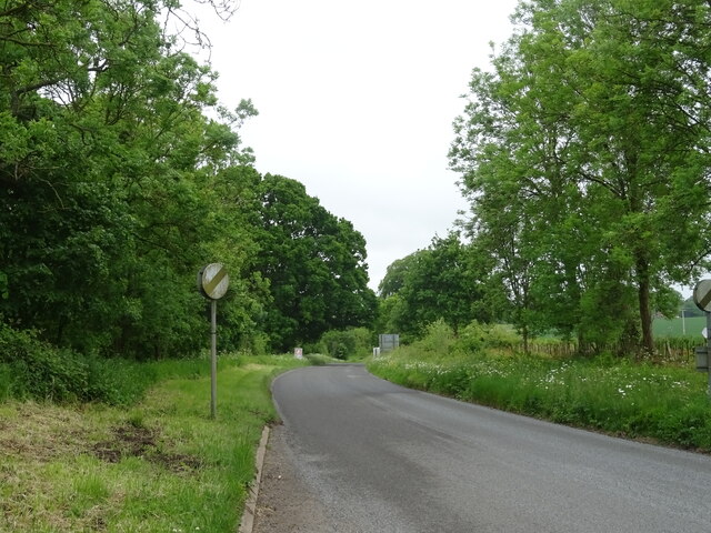
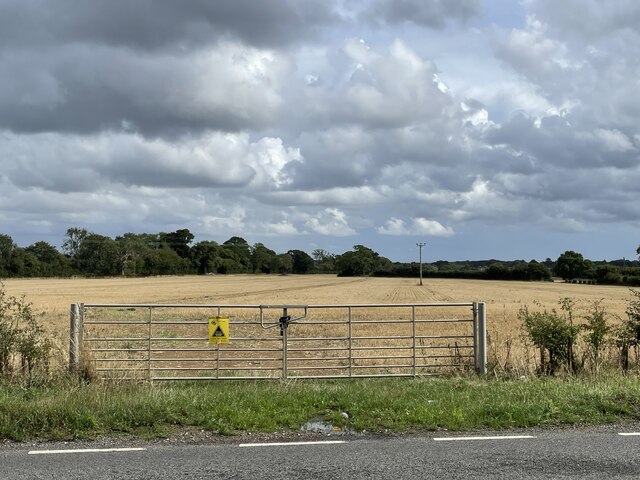
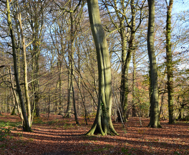
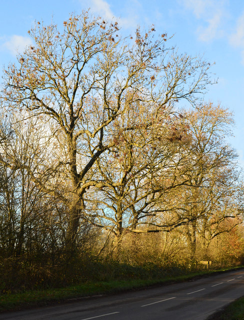
Greenfield Images

Images are sourced within 2km of 51.619665/-0.972387 or Grid Reference SU7191. Thanks to Geograph Open Source API. All images are credited.

Red Lane at the junction of Patemore Lane
Cereal crop off Red Lane
Red Lane (B481) Towards Cookley Green.
Red Lane (B481)
Towards Cookley Green.
Field entrance, Howe Hill Off Britwell Hill Road.
Field entrance, Howe Hill
Off Britwell Hill Road.
Britwell Hill Road Towards Britwell Hill.
Britwell Hill Road
Towards Britwell Hill.
Elizabeth II postbox, Howe Hill Postbox No. OX49 566.
See <a href="https://www.geograph.org.uk/photo/7296773">SU6991 : Howe Hill (B480)</a> for context.
Elizabeth II postbox, Howe Hill
Postbox No. OX49 566. See SU6991 : Howe Hill (B480) for context.
Howe Hill (B480) Showing position of Postbox No. OX49 566.
See <a href="https://www.geograph.org.uk/photo/7296772">SU6991 : Elizabeth II postbox, Howe Hill</a> for postbox.
Howe Hill (B480)
Showing position of Postbox No. OX49 566. See SU6991 : Elizabeth II postbox, Howe Hill for postbox.
Little Stoneyfield Farm, Howe Hill, Watlington The original farmhouse of Little Stoney Farm was demolished and a new one constructed bearing a slightly different name.
Little Stoneyfield Farm, Howe Hill, Watlington
The original farmhouse of Little Stoney Farm was demolished and a new one constructed bearing a slightly different name.
Arable farmland near Cookley Green Looking north from Red Lane, just north of the village.
Arable farmland near Cookley Green
Looking north from Red Lane, just north of the village.
Red Lane near Cookley Green
Arable farmland near Cookley Green Looking south-east from Red Lane, just north of the village.
Arable farmland near Cookley Green
Looking south-east from Red Lane, just north of the village.
Elegant beech tree, Christmas Common, Oxfordshire
November sunshine, Christmas Common, Oxfordshire
Late afternoon light, Greenfield, Oxfordshire
Larch tree, Watlington Hill, Oxfordshire
Sunset, Greenfield, Oxfordshire
Winter's afternoon, Christmas Common, Oxfordshire
Path along Pishill Bottom The road along the valley is not particularly pedestrian friendly. This path through the wood beside the road provides a safer if muddier option.
Path along Pishill Bottom
The road along the valley is not particularly pedestrian friendly. This path through the wood beside the road provides a safer if muddier option.
Show me another place!

Greenfield is located at Grid Ref: SU7191 (Lat: 51.619665, Lng: -0.972387)

Administrative County: Oxfordshire

District: South Oxfordshire

Police Authority: Thames Valley

What 3 Words

///skidding.reset.kilowatt. Near Watlington, Oxfordshire

Nearby Locations

Greenfield

Related Wikis

Watlington Park

Watlington Park is an English country house with its surrounding grounds of approximately 500 acres (200 ha), located atop an escarpment in the Chiltern...

Pishill Woods

Pishill Woods is a 42.8-hectare (106-acre) biological Site of Special Scientific Interest north of Nettlebed in Oxfordshire.These semi-natural woods have...

Christmas Common

Christmas Common is a hamlet in Watlington civil parish, Oxfordshire about 7+1⁄2 miles (12 km) south of Thame in Oxfordshire, close to the boundary with...

Russell's Water

Russell's Water is a hamlet about 6 miles (9.7 km) north of Henley-on-Thames in South Oxfordshire. It is in the Chiltern Hills about 620 feet (190 m)...

Nearby Amenities

Located within 500m of 51.619665,-0.972387
Greenfield
Created By: POI Editor
Place: hamlet
Source: npe
Lat/Long: 51.6202979/-0.9738321
Post Box
Collection Times: Mo-Fr 16:45; Sa 08:45
Drive Through: no
Post Box Type: lamp
Ref: OX49 508
Royal Cypher: EIIR
Royal Cypher Wikidata: Q33102113
Lat/Long: 51.620838/-0.9750365
Direction: 145
Generator Method: photovoltaic
Generator Output Electricity: yes
Generator Solar Modules: 156
Generator Source: solar
Generator Type: solar_photovoltaic_panel
Location: roof
Power: generator
Tilt: 20
Lat/Long: 51.620503/-0.9753343
The data included in this document is from www.openstreetmap.org. The data is made available under ODbL.

Have you been to Greenfield?

Leave your review of Greenfield below (or comments, questions and feedback).