Cairn Pool
Lake, Pool, Pond, Freshwater Marsh in Banffshire
Scotland
Cairn Pool
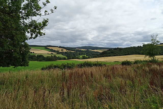
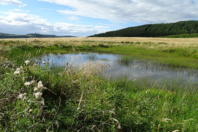
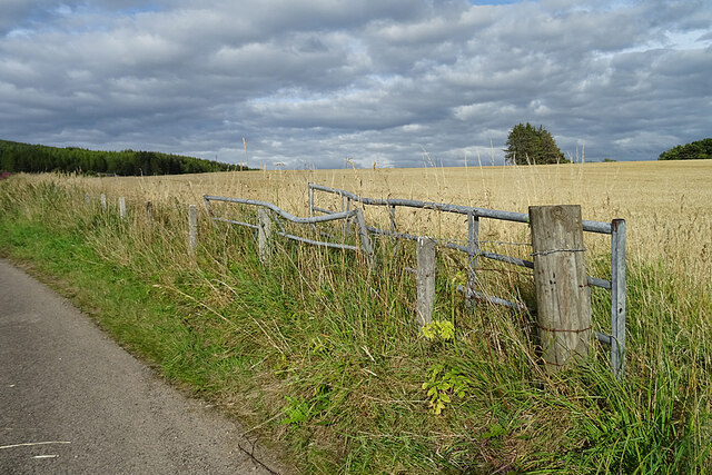
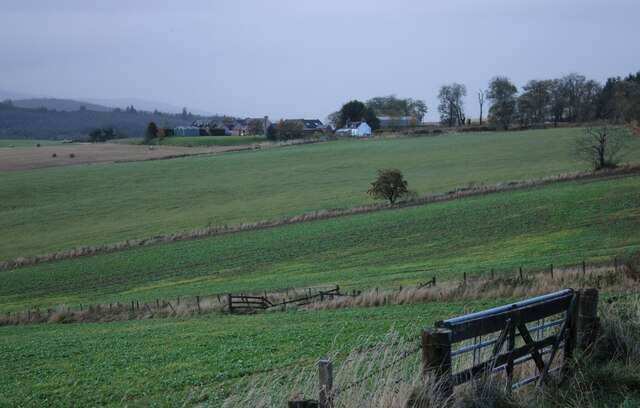
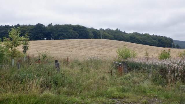
Cairn Pool, located in Banffshire, Scotland, is a picturesque freshwater marsh that offers a serene and tranquil natural setting. Nestled amidst lush greenery, this natural pool is a haven for various species of plants and animals, making it an ideal spot for nature enthusiasts and bird watchers.
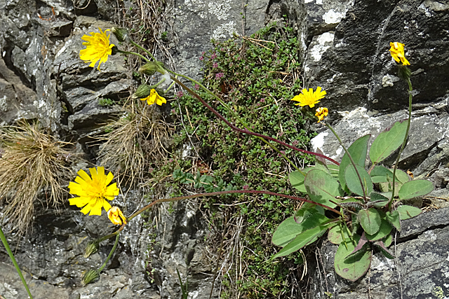
Covering an area of approximately 2 hectares, Cairn Pool is surrounded by a diverse range of vegetation, including reeds, grasses, and water lilies. These plants provide a habitat for a multitude of wildlife, such as ducks, swans, herons, and other waterfowl, which can often be seen gliding across the calm surface of the pool.
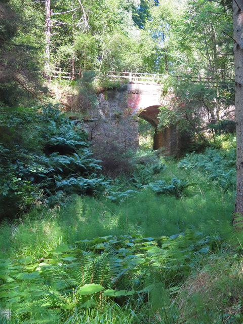
The pool itself is fed by a small stream that meanders through the surrounding countryside, ensuring a constant supply of fresh water. This water source not only sustains the rich biodiversity of the area but also creates a soothing ambiance as it trickles gently into the pool.
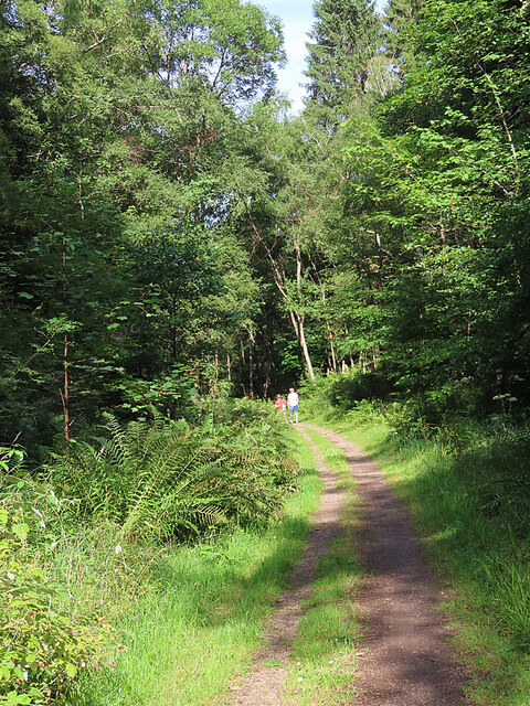
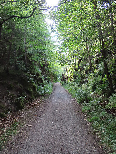
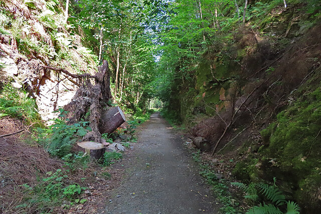
Visitors to Cairn Pool can enjoy leisurely walks along the well-maintained paths that encircle the pool, providing ample opportunities to observe the diverse flora and fauna. The surrounding landscape offers stunning views, with the distant hills providing a majestic backdrop to the tranquil pool.
Cairn Pool is a designated Site of Special Scientific Interest (SSSI), recognizing its importance as a habitat for numerous species of plants and animals. Its conservation status ensures that the pool remains a protected natural area, allowing visitors to appreciate its beauty while preserving its ecological significance.
Whether you are a nature lover, bird watcher, or simply seeking a peaceful escape, Cairn Pool in Banffshire offers a serene and captivating experience in the heart of Scotland's natural beauty.
If you have any feedback on the listing, please let us know in the comments section below.
Cairn Pool Images
Images are sourced within 2km of 57.49111/-3.187516 or Grid Reference NJ2845. Thanks to Geograph Open Source API. All images are credited.
Cairn Pool is located at Grid Ref: NJ2845 (Lat: 57.49111, Lng: -3.187516)
Unitary Authority: Moray
Police Authority: North East
Also known as: Craig Nook Water
What 3 Words
///helping.confusion.leap. Near Charlestown of Aberlour, Moray
Nearby Locations
Related Wikis

Craigellachie, Moray
Craigellachie (Scottish Gaelic: Creag Eileachaidh) is a small village in Moray, Scotland, at the confluence of the River Spey and River Fiddich (whose...

Dandaleith stone
The Dandaleith stone is a Class I Pictish stone from Craigellachie, Scotland. It was discovered in May 2013 during ploughing. == Location == The exact...
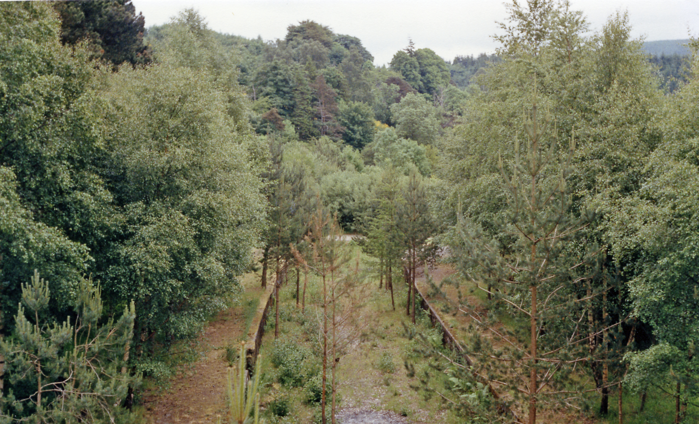
Craigellachie railway station
Craigellachie railway station served the village of Craigellachie, Moray, Scotland from 1863 to 1968 on the Morayshire Railway and the Strathspey Railway...

Craigellachie distillery
Craigellachie distillery is a single malt Scotch whisky distillery in the village of Craigellachie at the centre of the Speyside whisky producing area...

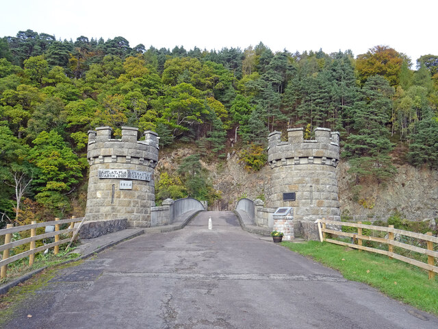
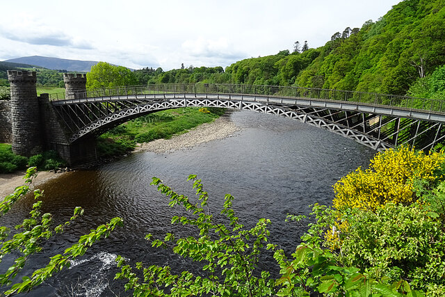
Craigellachie Bridge
Craigellachie Bridge is a cast iron arch bridge across the River Spey at Craigellachie, near to the village of Aberlour in Moray, Scotland. It was designed...

Dandaleith railway station
Dandaleith railway station served the village of Craigellachie, Moray, Scotland from 1858 to 1965 on the Morayshire Railway. == History == The station...
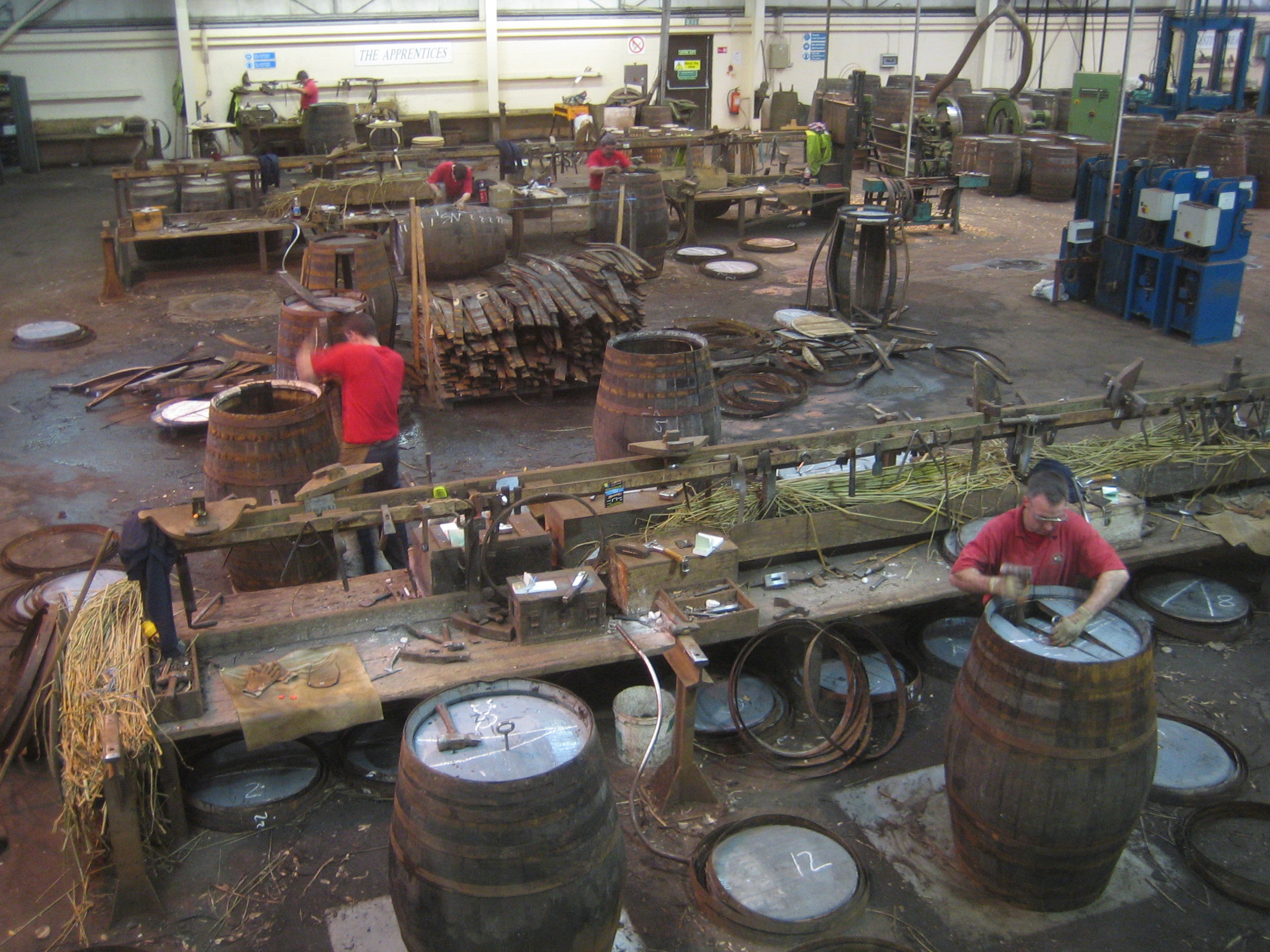
Speyside Cooperage
The Speyside Cooperage is a cooperage located in Craigellachie, Aberlour, Scotland. Its visitor centre, the only such in Britain, is part of the Malt Whisky...

Strathspey, Scotland
Strathspey (Scottish Gaelic: Srath Spè, [s̪t̪ɾa ˈs̪peː]) is the region around the strath of the River Spey, Scotland, split between the Moray council area...
Nearby Amenities
Located within 500m of 57.49111,-3.187516Have you been to Cairn Pool?
Leave your review of Cairn Pool below (or comments, questions and feedback).