Craig Nook Water

Lake, Pool, Pond, Freshwater Marsh in Banffshire

Scotland

Craig Nook Water

Railway Bridge The bridge carried the Strathspey Railway over a minor burn.
Railway Bridge Credit: Anne Burgess

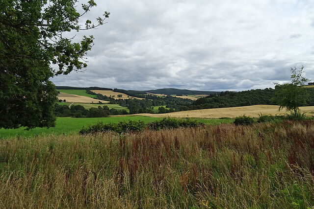
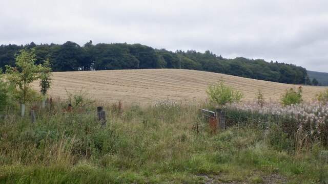
Craig Nook Water is a picturesque freshwater marsh located in Banffshire, Scotland. Nestled amidst the rolling hills and lush greenery, this natural wonder is a sight to behold. Spanning over 5 acres, Craig Nook Water is a haven for various aquatic flora and fauna.

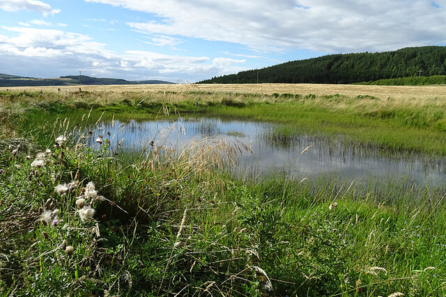
The water body is primarily composed of a combination of a small lake, pool, and pond, which add to its diverse ecosystem. The lake, with its crystal-clear waters, serves as a habitat for numerous fish species, including trout and perch. Anglers often visit this serene spot to try their luck and indulge in some peaceful fishing.

Surrounding the lake, the pool provides a tranquil spot for visitors to relax and enjoy the stunning views. Its shallow depth makes it an ideal spot for children to splash and play, while adults can bask in the serenity of the surroundings. The pond, on the other hand, is a thriving hub for water lilies, reeds, and other aquatic plants, creating a vibrant and colorful atmosphere.

The freshwater marsh, encompassing the entire area, acts as a natural filter, purifying the water and providing a safe haven for a wide range of bird species. Birdwatchers flock to this location to catch a glimpse of various avian creatures, including ducks, herons, and kingfishers.

Overall, Craig Nook Water is a haven of natural beauty, offering a peaceful retreat for those seeking solace in the embrace of nature. Whether it be fishing, birdwatching, or simply enjoying the tranquility, this enchanting water body has something to offer for everyone.

If you have any feedback on the listing, please let us know in the comments section below.

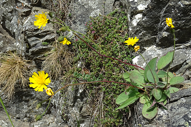
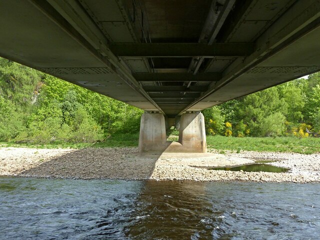
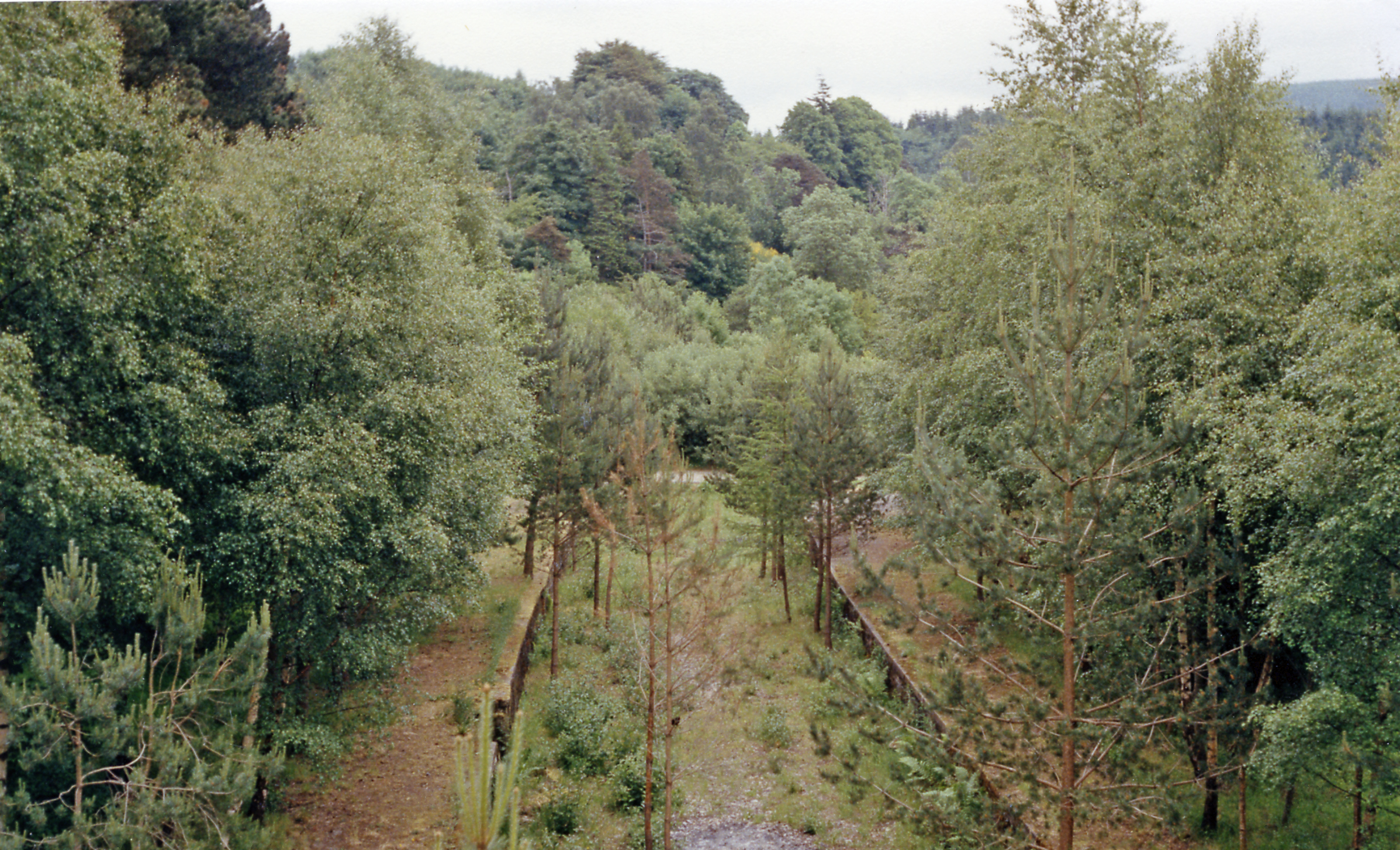
Craig Nook Water Images

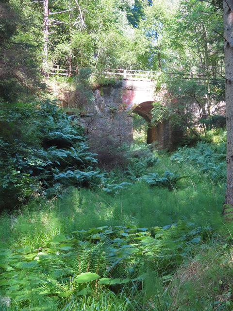
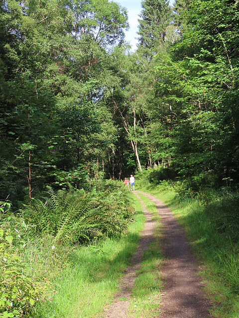
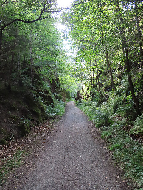
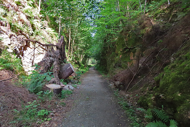
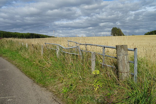
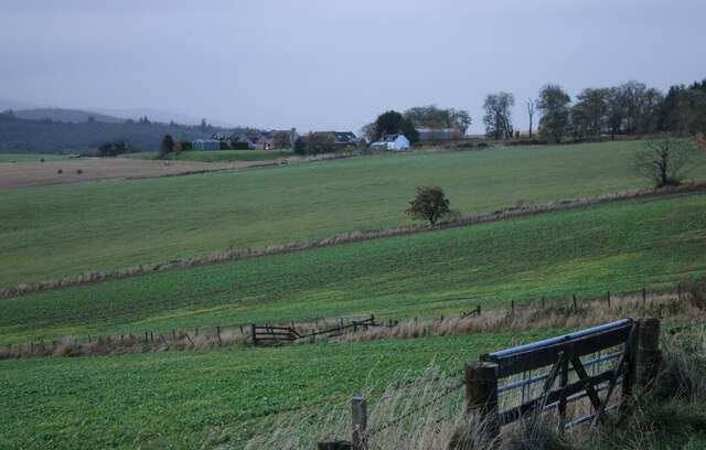
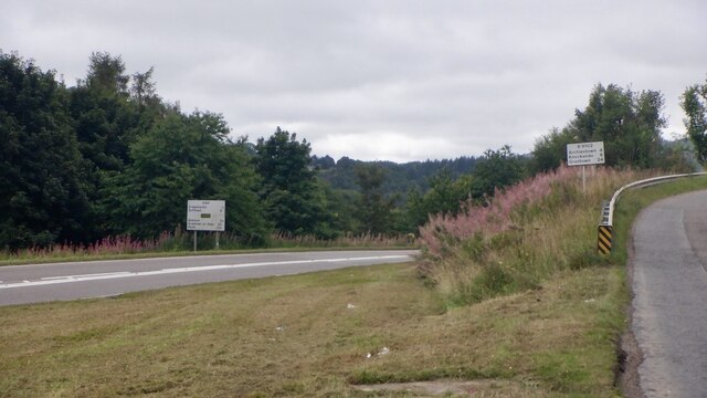
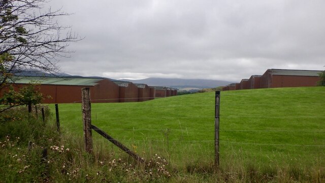
Images are sourced within 2km of 57.49111/-3.187516 or Grid Reference NJ2845. Thanks to Geograph Open Source API. All images are credited.

Railway Bridge The bridge carried the Strathspey Railway over a minor burn.
Railway Bridge
The bridge carried the Strathspey Railway over a minor burn.
Former Strathspey Railway The route of the former Strathspey Railway is now a popular path and cycle track.
Former Strathspey Railway
The route of the former Strathspey Railway is now a popular path and cycle track.
Old Railway Cutting One of several deep cuttings on the route of the former Strathspey Railway that provide a pleasant shady walk on a hot day.
Old Railway Cutting
One of several deep cuttings on the route of the former Strathspey Railway that provide a pleasant shady walk on a hot day.
Fallen Tree The stump of a large tree sticks out at an angle into the former Strathspey Railway cutting. It must have obstructed the path significantly before being sawn into lengths which have been left lying on both sides of the path. The large one on the left gives some idea of the diameter of the trunk.
Fallen Tree
The stump of a large tree sticks out at an angle into the former Strathspey Railway cutting. It must have obstructed the path significantly before being sawn into lengths which have been left lying on both sides of the path. The large one on the left gives some idea of the diameter of the trunk.
Looking towards Glen Fiddich The view of Glen Fiddich from beside Wester Gauldwell. All the nearer fields are in this square.
Looking towards Glen Fiddich
The view of Glen Fiddich from beside Wester Gauldwell. All the nearer fields are in this square.
Wester Gauldwell House An 18th century house with a relatively recent extension making it look lop-sided.
Wester Gauldwell House
An 18th century house with a relatively recent extension making it look lop-sided.
Harvesting at Wester Gauldwell A combine harvester cutting the barley south of Parkneuk.
Harvesting at Wester Gauldwell
A combine harvester cutting the barley south of Parkneuk.
New Pond This is shown on some of the maps as a boggy area fed by Meg Proctor's Well to the north-east. The owners have dug it out to form two ponds with the intention of attracting wildlife.
New Pond
This is shown on some of the maps as a boggy area fed by Meg Proctor's Well to the north-east. The owners have dug it out to form two ponds with the intention of attracting wildlife.
Field Gates It looks as if one of the gates has met with a mishap, and neither gate has been much used recently.
Field Gates
It looks as if one of the gates has met with a mishap, and neither gate has been much used recently.
Wester Gauldwell Seen from a lay-by off the A95.
Wester Gauldwell
Seen from a lay-by off the A95.
B9102/A941 junction The B road climbs hard away from the Spey, soon passing the Macallan distillery.
B9102/A941 junction
The B road climbs hard away from the Spey, soon passing the Macallan distillery.
Macallan bonds
Macallan bonds
Harvested barley near Craigellachie Above the Macallan distillery looking towards Craigellachie Wood.
Harvested barley near Craigellachie
Above the Macallan distillery looking towards Craigellachie Wood.
Craigellachie Bridge The southern approach to Craigellachie Bridge, designed by Thomas Telford and completed in 1814. Autumn colours are showing on the steep ground beyond.
Craigellachie Bridge
The southern approach to Craigellachie Bridge, designed by Thomas Telford and completed in 1814. Autumn colours are showing on the steep ground beyond.
Sinuous Railing The iron railing alongside the road on the left bank downstream from Craigellachie Bridge is still intact and seems to be in good condition.
Sinuous Railing
The iron railing alongside the road on the left bank downstream from Craigellachie Bridge is still intact and seems to be in good condition.
Craigellachie Bridge Designed by Thomas Telford, cast at Plas Kynaston in Wales, and erected in 1814. The bridge is a Category A listed building. See <span class="nowrap"><a title="http://portal.historicenvironment.scot/designation/LB2357" rel="nofollow ugc noopener" href="http://portal.historicenvironment.scot/designation/LB2357">Link</a><img style="margin-left:2px;" alt="External link" title="External link - shift click to open in new window" src="https://s1.geograph.org.uk/img/external.png" width="10" height="10"/></span> and note that despite what the maps say its correct name is Craigellachie Bridge.
Craigellachie Bridge
Designed by Thomas Telford, cast at Plas Kynaston in Wales, and erected in 1814. The bridge is a Category A listed building. See LinkExternal link and note that despite what the maps say its correct name is Craigellachie Bridge.
Hawk.... There is a large number of plants with dandelion-like flowers: Hawkweeds, Hawkbits and Hawksbeards. It requires greater expertise than mine to tell most of them apart.
Hawk....
There is a large number of plants with dandelion-like flowers: Hawkweeds, Hawkbits and Hawksbeards. It requires greater expertise than mine to tell most of them apart.
The 'new' Spey bridge at Craigellachie Built to replace Telford's cast iron bridge, it is itself now 50 years old.
The 'new' Spey bridge at Craigellachie
Built to replace Telford's cast iron bridge, it is itself now 50 years old.
Show me another place!

Craig Nook Water is located at Grid Ref: NJ2845 (Lat: 57.49111, Lng: -3.187516)

Unitary Authority: Moray

Police Authority: North East

Also known as: Cairn Pool

What 3 Words

///helping.confusion.leap. Near Charlestown of Aberlour, Moray

Related Wikis

Craigellachie, Moray

Craigellachie (Scottish Gaelic: Creag Eileachaidh) is a small village in Moray, Scotland, at the confluence of the River Spey and River Fiddich (whose...

Dandaleith stone

The Dandaleith stone is a Class I Pictish stone from Craigellachie, Scotland. It was discovered in May 2013 during ploughing. == Location == The exact...

Craigellachie railway station

Craigellachie railway station served the village of Craigellachie, Moray, Scotland from 1863 to 1968 on the Morayshire Railway and the Strathspey Railway...

Craigellachie distillery

Craigellachie distillery is a single malt Scotch whisky distillery in the village of Craigellachie at the centre of the Speyside whisky producing area...

Nearby Amenities

Located within 500m of 57.49111,-3.187516
Craigellachie
Name Gd: Creag Eileachaidh
Place: village
Wikidata: Q1026790
Wikipedia: en:Craigellachie, Moray
Lat/Long: 57.4898327/-3.1880205
Parking
Lat/Long: 57.4906172/-3.1915688
Tourism: picnic_site
Lat/Long: 57.4907715/-3.1928849
Toilets
Lat/Long: 57.4898672/-3.1904262
Parking
Parking: surface
Lat/Long: 57.491245/-3.1825573
Strathspey B&B
Tourism: guest_house
Lat/Long: 57.4899836/-3.1882885
Post Box
Brand: Royal Mail
Brand Wikidata: Q638098
Check Date: 2022-10-09
Collection Times: Mo-Fr 16:30; Sa 12:00
Operator: Royal Mail
Operator Wikidata: Q638098
Post Box Design: 2010_pattern
Post Box Type: lamp
Ref: AB38 59
Royal Cypher: scottish_crown
Source: survey
Lat/Long: 57.4899665/-3.1883876
Historic: memorial
Memorial: war_memorial
Lat/Long: 57.4910221/-3.1862193
Fiddichside Inn
Addr City: Craigellachie
Addr Housename: Fiddichside Inn
Addr Postcode: AB38 9RR
Fhrs Id: 17788
Tourism: hotel
Lat/Long: 57.490869/-3.1803057
Restaurant
The Copper Dog
Lat/Long: 57.4892793/-3.1902954
Craigellachie Bridge
Information: guidepost
Tourism: information
Lat/Long: 57.4910842/-3.1936936
Barrier: bollard
Lat/Long: 57.4910632/-3.193755
Barrier: jersey_barrier
Material: plastic
Lat/Long: 57.4924781/-3.1912957
Parking
Lat/Long: 57.4925438/-3.1912252
Historic Railway: junction
Wikidata: Q106041460
Lat/Long: 57.489387/-3.180896
The Whiskey Room
Tourism: guest_house
Lat/Long: 57.489568/-3.1871831
Speybank B&B
Addr Postcode: AB38 9SX
Addr Street: Leslie Terrace
Fhrs Id: 17812
Source Addr: FHRS Open Data
Tourism: hotel
Lat/Long: 57.4909519/-3.1856981
Craigellachie
Historic Railway: station
Old Name: Strathspey Junction
Railway: site
Wikidata: Q68377048
Wikipedia: en:Craigellachie railway station
Lat/Long: 57.4909668/-3.1818188
Post Box
Brand: Royal Mail
Brand Wikidata: Q638098
Check Date: 2022-10-09
Collection Times: Mo-Sa 09:00; Su off
Manufacturer: Carron Company
Operator: Royal Mail
Operator Wikidata: Q638098
Post Box Type: lamp
Ref: AB38 61
Royal Cypher: scottish_crown
Source: survey
Lat/Long: 57.4873546/-3.1832582
Post Box
Brand: Royal Mail
Brand Wikidata: Q638098
Check Date: 2022-10-09
Collection Times: Mo-Sa 09:00; Su off
Manufacturer: none
Operator: Royal Mail
Operator Wikidata: Q638098
Post Box Type: lamp
Ref: AB38 108
Royal Cypher: scottish_crown
Source: survey
Lat/Long: 57.489591/-3.1832536
Defibrillator
Access: yes
Defibrillator Location: outside Craigellachie Village Hall
Emergency: defibrillator
Indoor: no
Lat/Long: 57.4893832/-3.1857698
The data included in this document is from www.openstreetmap.org. The data is made available under ODbL.

Have you been to Craig Nook Water?

Leave your review of Craig Nook Water below (or comments, questions and feedback).