Benacre Broad
Lake, Pool, Pond, Freshwater Marsh in Suffolk East Suffolk
England
Benacre Broad
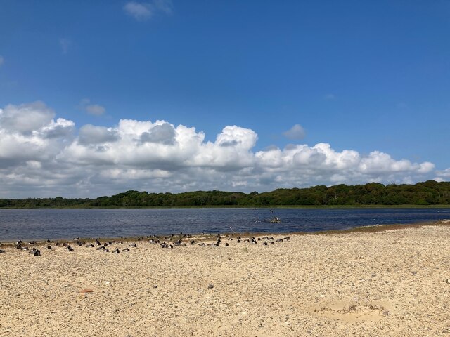
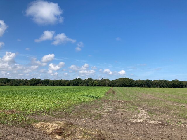
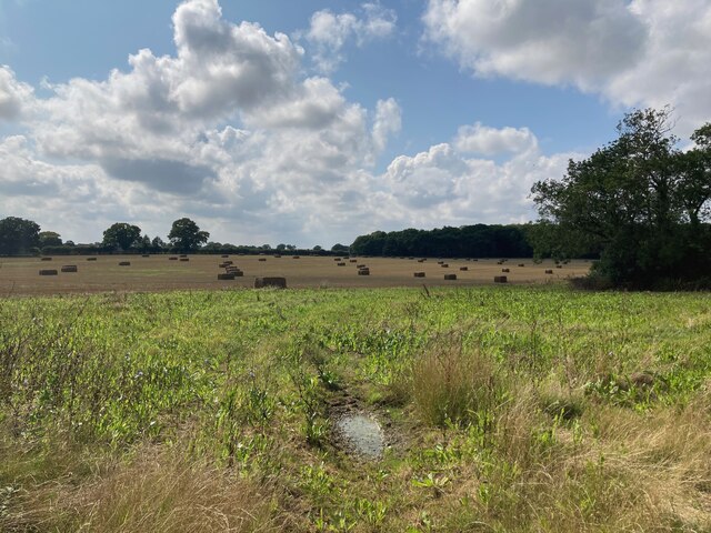
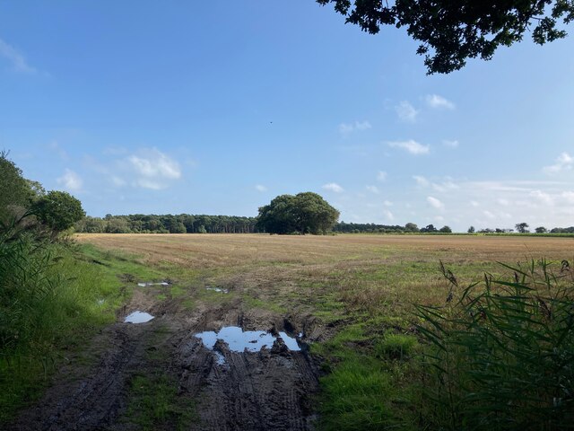
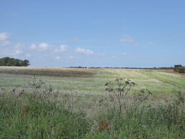
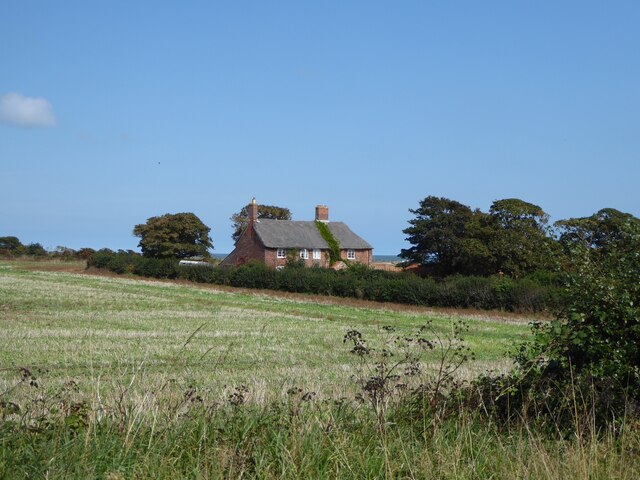
Benacre Broad is a picturesque freshwater marsh located near Kessingland in Suffolk, England. Spanning over 100 acres, it is a popular destination for nature enthusiasts and bird watchers alike.
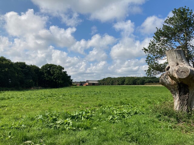
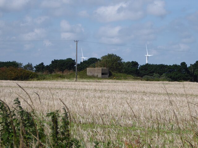
Surrounded by reed beds and bordered by woodland, the broad is a haven for a diverse range of wildlife. It is home to various species of birds, including rare and endangered ones like the bittern, marsh harrier, and bearded tit. The reed beds provide an ideal habitat for these birds, offering protection and a plentiful source of food.
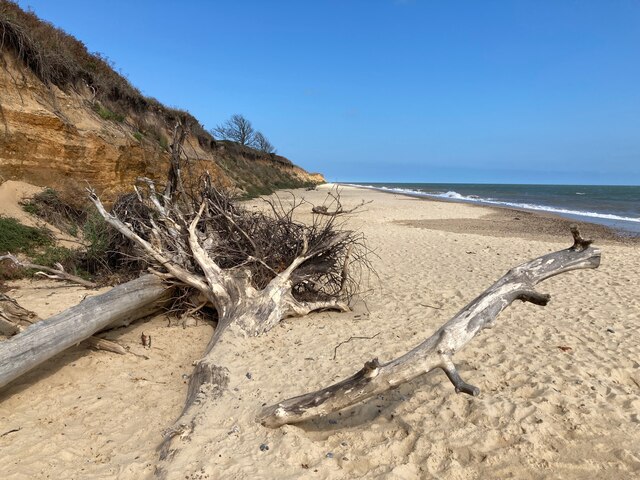
The broad itself is a shallow body of water, characterized by its calm and serene atmosphere. It is fed by a combination of groundwater and surface water, ensuring a constant flow of fresh water. Small channels and streams crisscross the broad, enhancing its natural beauty.
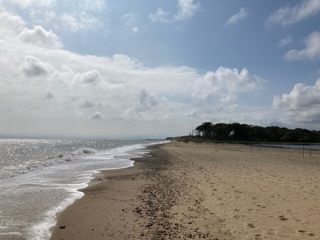
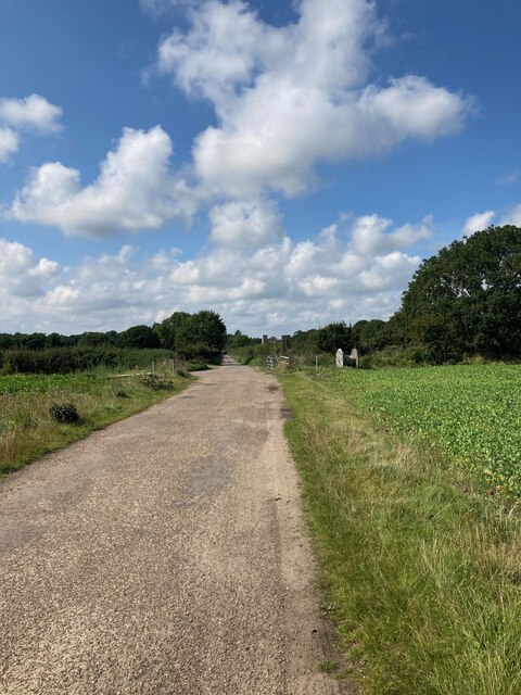
Visitors can explore the broad by foot along its well-maintained footpaths, allowing for peaceful walks and scenic views. The surrounding woodland offers additional opportunities for exploration and picnicking. There are also several bird hides strategically placed around the broad, enabling visitors to observe the wildlife without causing disturbance.
Benacre Broad is managed and maintained by the Suffolk Wildlife Trust, which works tirelessly to preserve its natural beauty and protect the various species that call it home. The trust also organizes educational events and guided tours to raise awareness about the importance of conserving this unique ecosystem.
Overall, Benacre Broad is a tranquil and idyllic destination, offering a glimpse into the wonders of nature and providing a sanctuary for a diverse range of wildlife.
If you have any feedback on the listing, please let us know in the comments section below.
Benacre Broad Images
Images are sourced within 2km of 52.386086/1.7124827 or Grid Reference TM5282. Thanks to Geograph Open Source API. All images are credited.

Benacre Broad is located at Grid Ref: TM5282 (Lat: 52.386086, Lng: 1.7124827)
Administrative County: Suffolk
District: East Suffolk
Police Authority: Suffolk
What 3 Words
///bidder.dumpling.somewhere. Near Kessingland, Suffolk
Nearby Locations
Related Wikis

Benacre Broad
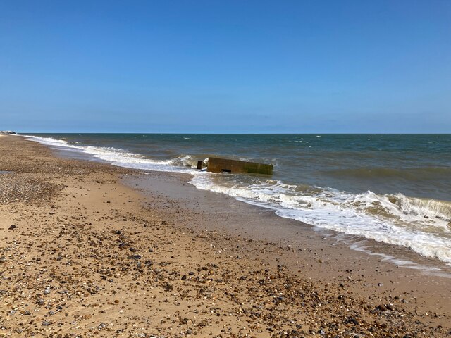
Benacre Broad is an isolated coastal lagoon on the North Sea coast of the English county of Suffolk. It is located in the parish of Benacre around 1⁄2...
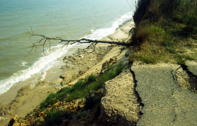
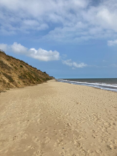
Pakefield to Easton Bavents
Pakefield to Easton Bavents is a 735.4-hectare (1,817-acre) biological and geological Site of Special Scientific Interest which stretches along the Suffolk...
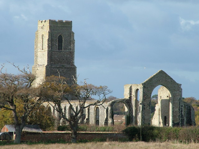
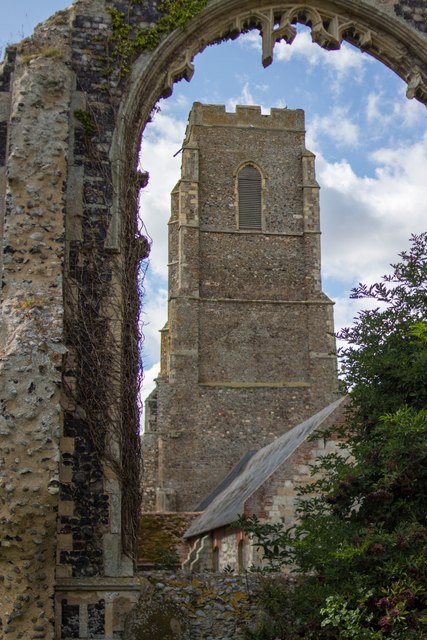
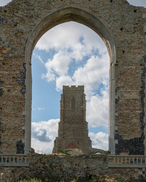
St Andrew's Church, Covehithe
St Andrew's Church is a partly redundant Anglican church in the hamlet of Covehithe in the English county of Suffolk. It is recorded in the National Heritage...
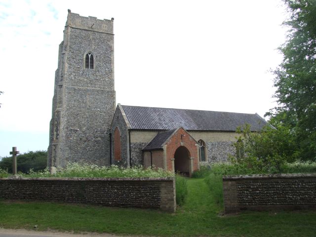
Covehithe
Covehithe is a village and civil parish in the East Suffolk district of the English county of Suffolk. It lies on the North Sea coast around 4 miles (6...

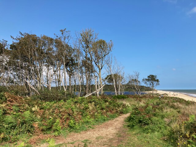
Benacre National Nature Reserve
Benacre National Nature Reserve is a national nature reserve in the English county of Suffolk. It is located on the North Sea coast in the parishes of...

The Sunrise Coast
The Sunrise Coast is a stretch of tourist coastline in the English county of Suffolk. The area includes the seaside resort towns of Lowestoft and Southwold...
Benacre, Suffolk
Benacre is a village and civil parish in the East Suffolk district of the English county of Suffolk. The village is located about 5+3⁄4 miles (9 km) south...

Old Town Hall, Wrentham
The Old Town Hall is a former municipal building in the High Street in Wrentham, Suffolk, England. The building, which was the meeting place of Wrentham...
Nearby Amenities
Located within 500m of 52.386086,1.7124827Have you been to Benacre Broad?
Leave your review of Benacre Broad below (or comments, questions and feedback).