South Girder
Lake, Pool, Pond, Freshwater Marsh in Suffolk East Suffolk
England
South Girder

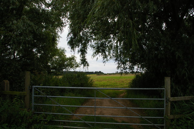
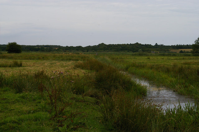
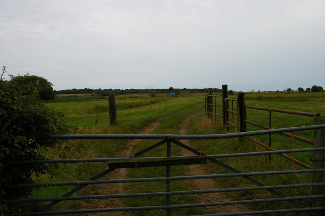
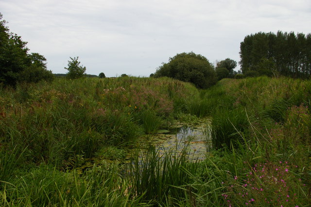
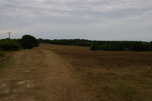
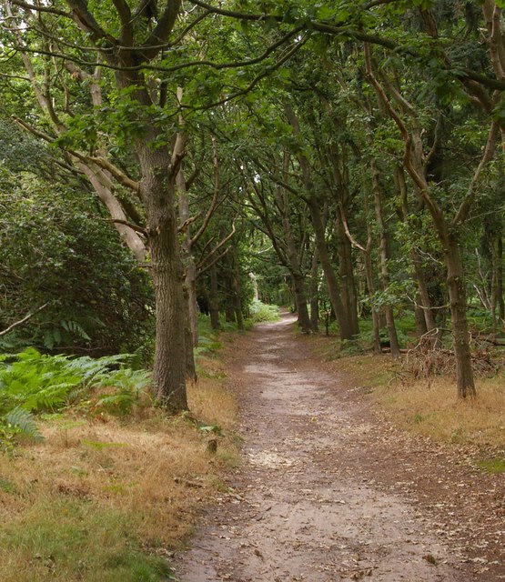
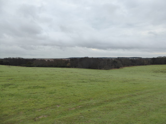
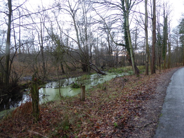
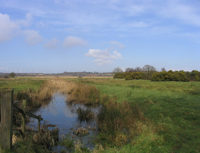
South Girder, located in Suffolk, is a picturesque area known for its stunning natural beauty and diverse aquatic ecosystems. Spread across a vast expanse, South Girder is home to various water bodies, including lakes, pools, ponds, and freshwater marshes.
The centerpiece of South Girder is its expansive lake, which stretches for several kilometers. The lake is characterized by its crystal-clear waters that reflect the surrounding lush greenery. It serves as a vital habitat for numerous species of fish and aquatic plants, attracting anglers and nature enthusiasts alike.
Adjacent to the lake, there are several pools and ponds dotted throughout the landscape. These smaller water bodies offer a tranquil setting, ideal for relaxation and birdwatching. Many migratory birds flock to South Girder, making it a haven for bird lovers. Visitors can spot an array of species, including herons, ducks, and geese, as they thrive in the rich ecosystem of these pools and ponds.
South Girder boasts a unique freshwater marsh, which adds to the area's ecological diversity. This marshland is characterized by its verdant grasses and reeds, which provide a habitat for a wide variety of wildlife. Frogs, turtles, and insects can be found here, making it an excellent spot for nature enthusiasts to observe and learn about these fascinating creatures.
Overall, South Girder in Suffolk offers a mesmerizing blend of lakes, pools, ponds, and freshwater marshes that support a thriving ecosystem. Its natural beauty and diverse wildlife make it a popular destination for both locals and tourists seeking to immerse themselves in the wonders of nature.
If you have any feedback on the listing, please let us know in the comments section below.
South Girder Images
Images are sourced within 2km of 52.240346/1.6217872 or Grid Reference TM4766. Thanks to Geograph Open Source API. All images are credited.


South Girder is located at Grid Ref: TM4766 (Lat: 52.240346, Lng: 1.6217872)
Administrative County: Suffolk
District: East Suffolk
Police Authority: Suffolk
What 3 Words
///width.partly.waving. Near Leiston, Suffolk
Nearby Locations
Related Wikis
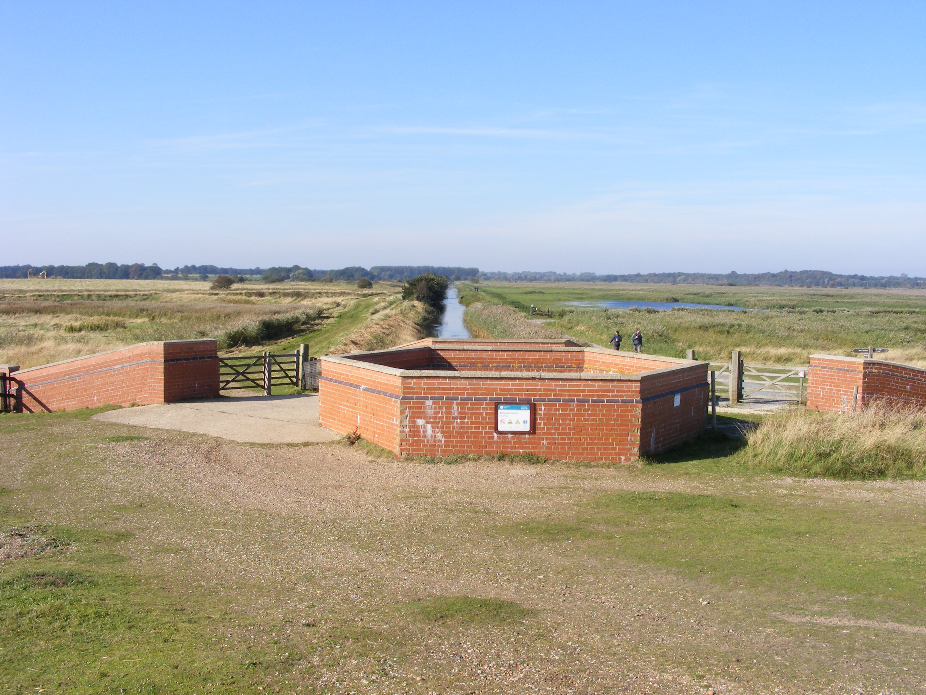
Minsmere River
Minsmere River is a river in the English county of Suffolk which flows into the North Sea at Minsmere. The river is formed from the River Yox at Yoxford...

RSPB Minsmere
RSPB Minsmere is a nature reserve owned and managed by the Royal Society for the Protection of Birds (RSPB) at Minsmere, Suffolk. The 1,000-hectare (2...
Minsmere
Minsmere is a place in the English county of Suffolk. It is located on the North Sea coast around 3.5 miles (5.6 km) north of Leiston and 1.5 miles (2...

Minsmere–Walberswick Heaths and Marshes
Minsmere–Walberswick Heaths and Marshes are a Special Area of Conservation and Site of Special Scientific Interest in the English county of Suffolk. The...
Nearby Amenities
Located within 500m of 52.240346,1.6217872Have you been to South Girder?
Leave your review of South Girder below (or comments, questions and feedback).