Upton Broad
Lake, Pool, Pond, Freshwater Marsh in Norfolk Broadland
England
Upton Broad
Upton Broad, located in Norfolk, England, is a picturesque freshwater marsh that is known for its natural beauty and diverse wildlife. It is situated within the Norfolk Broads, a network of rivers, lakes, and marshes that cover a large area of the county.
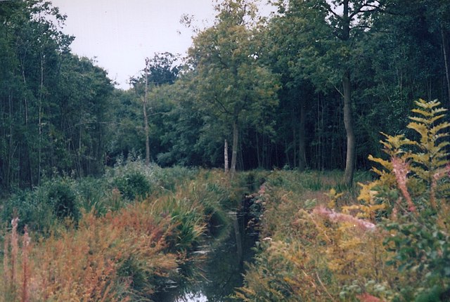
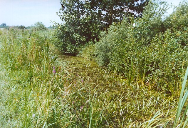
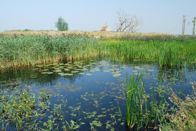
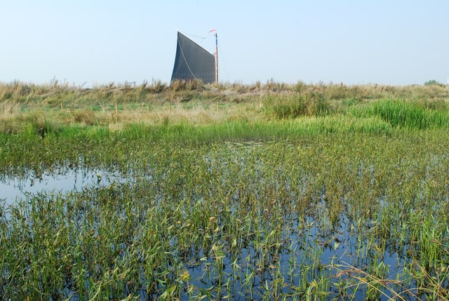
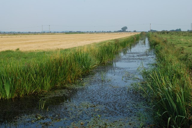
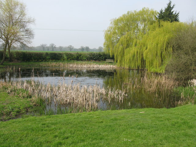
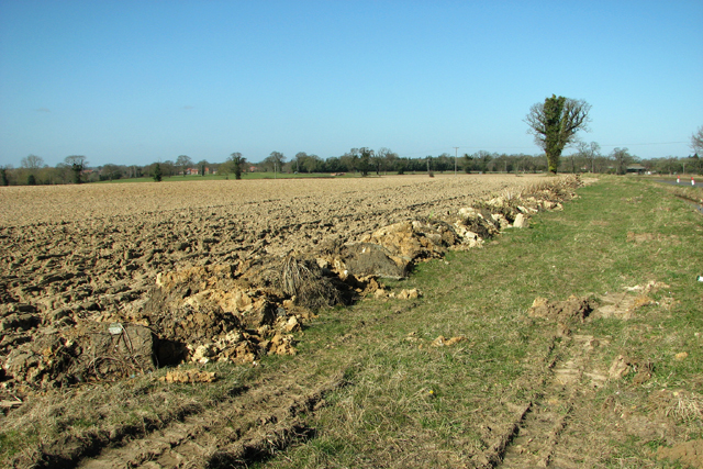
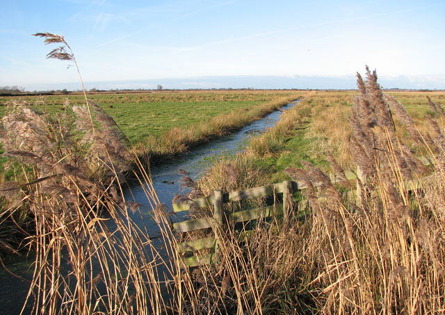
Covering an area of approximately 200 acres, Upton Broad is a shallow body of water with an average depth of only 1-2 meters. It is surrounded by reed beds, fen meadows, and wet woodland, creating a unique and thriving ecosystem. The broad is fed by several small streams and channels, ensuring a constant flow of freshwater.
The marsh is home to a wide variety of plant and animal species. The reed beds provide shelter for numerous bird species, including bitterns, marsh harriers, and bearded tits. In addition, Upton Broad supports a rich aquatic fauna, with fish such as roach, perch, and pike inhabiting its waters.
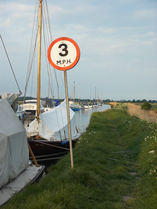
The broad is a popular destination for nature enthusiasts and birdwatchers, who can explore the area by walking along the network of footpaths and boardwalks that crisscross the marshland. The peaceful and tranquil atmosphere of Upton Broad makes it an ideal spot for relaxation and contemplation.
Furthermore, the area surrounding Upton Broad has been designated as a nature reserve, ensuring its protection and conservation. The reserve is managed by the Norfolk Wildlife Trust, which oversees the preservation of the diverse habitats and species found within the broad.
Overall, Upton Broad is a stunning natural feature that offers visitors the chance to experience the beauty of Norfolk's wetland landscapes while enjoying the rich array of wildlife that inhabits this unique freshwater marsh.
If you have any feedback on the listing, please let us know in the comments section below.
Upton Broad Images
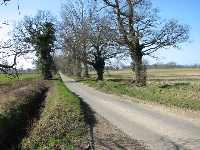
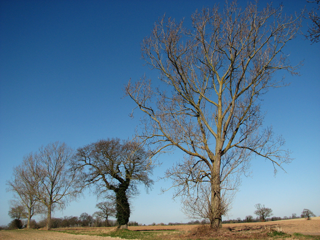
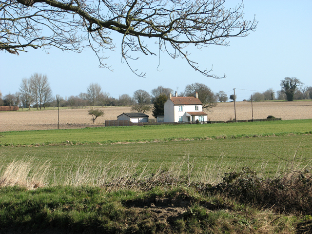
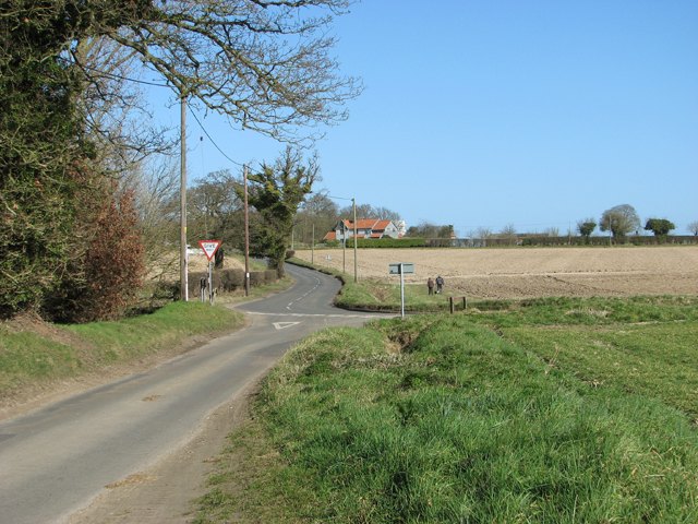
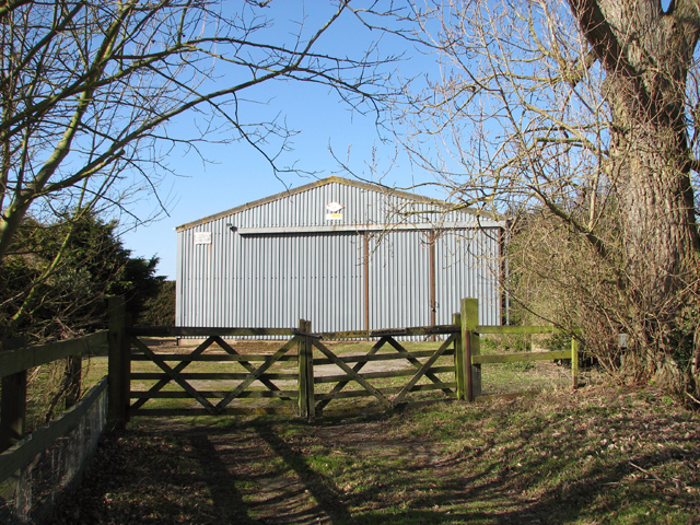
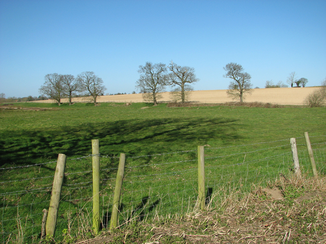
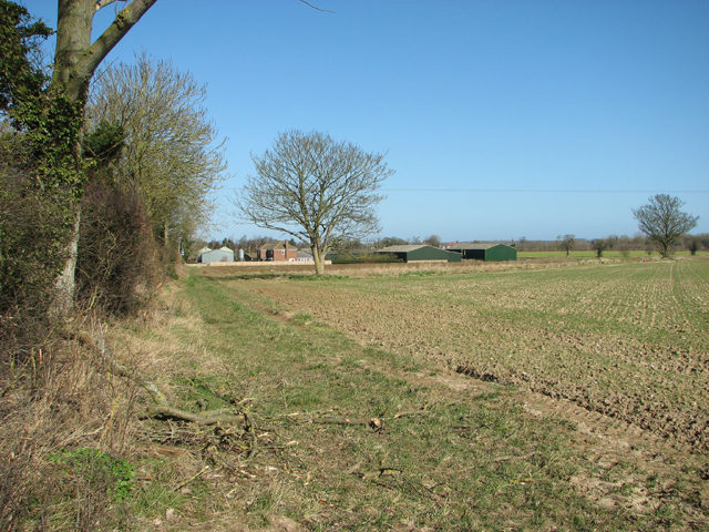
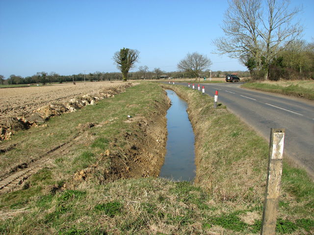
Images are sourced within 2km of 52.665428/1.5335046 or Grid Reference TG3913. Thanks to Geograph Open Source API. All images are credited.

Upton Broad is located at Grid Ref: TG3913 (Lat: 52.665428, Lng: 1.5335046)
Administrative County: Norfolk
District: Broadland
Police Authority: Norfolk
What 3 Words
///safari.spinners.skinny. Near Acle, Norfolk
Nearby Locations
Related Wikis

Upton Fen
Upton Fen lies within The Broads National Park in Norfolk, England. It is a nature reserve in the care of Norfolk Wildlife Trust. Notable species found...
Upton Broad and Marshes
Upton Broad and Marshes is a 195.4-hectare (483-acre) biological Site of Special Scientific Interest east of Norwich in Norfolk. It is a Nature Conservation...
Upton, Norfolk
Upton is a village on the River Bure in Norfolk, England within the Broads national park. The villages name means 'higher farm/settlement'. Administratively...

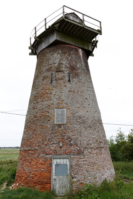
Palmer's Drainage Windmill
Palmer's Drainage Windmill is located to the north of Upton Dyke close to the village of Upton in the English county of Norfolk. Upton Dyke runs westerly...
Nearby Amenities
Located within 500m of 52.665428,1.5335046Have you been to Upton Broad?
Leave your review of Upton Broad below (or comments, questions and feedback).