Alderfen Broad
Lake, Pool, Pond, Freshwater Marsh in Norfolk North Norfolk
England
Alderfen Broad
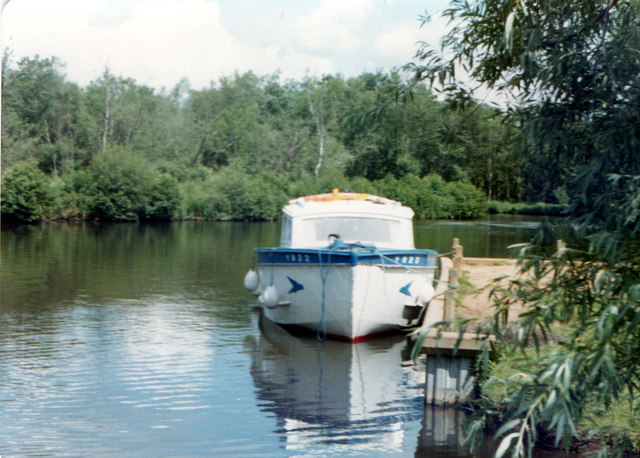
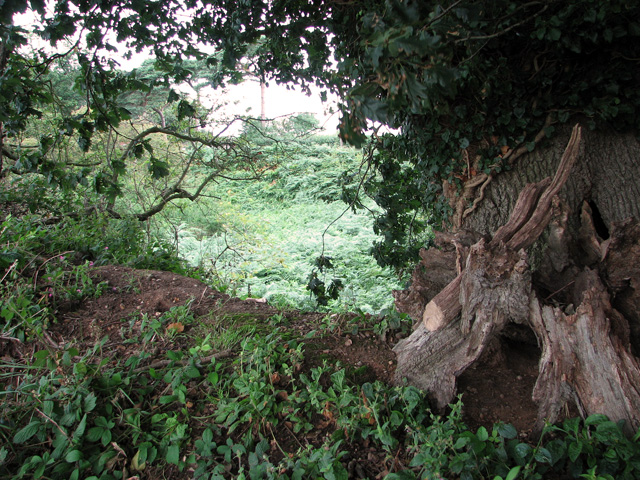
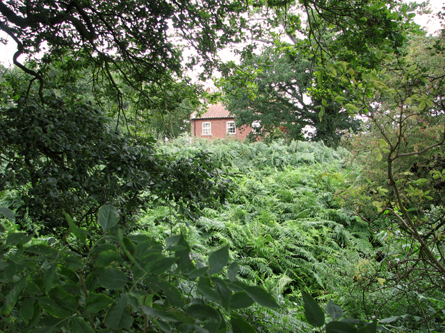
Alderfen Broad is a picturesque freshwater marsh located in Norfolk, England. Covering an area of approximately 10 hectares, it is a popular destination for nature enthusiasts and birdwatchers. The site comprises of a combination of open water, reed beds, and wet meadows, providing a diverse habitat for a wide range of plant and animal species.
The main feature of Alderfen Broad is the large open water body, which is often referred to as a lake or pond. This water body is surrounded by lush vegetation, including tall reeds and water lilies, creating a serene and tranquil atmosphere. The lake is fed by a number of small streams, ensuring a constant flow of freshwater.
The broad is home to a variety of bird species, making it a haven for ornithologists. Visitors can observe a multitude of waterfowl, such as ducks, swans, and waders, as well as rare and migratory birds like bitterns and marsh harriers. The reed beds provide nesting areas for numerous species, adding to the biodiversity of the site.
In addition to its rich birdlife, Alderfen Broad is also home to a range of other wildlife. Frogs, toads, and newts can be spotted in the wet meadows and shallow water areas. Dragonflies and damselflies flit through the air, while small mammals like voles and shrews scurry through the underbrush.
Alderfen Broad offers visitors an opportunity to connect with nature and experience the tranquillity of a freshwater marsh ecosystem. Whether it's birdwatching, exploring the diverse plant life, or simply enjoying the peaceful surroundings, the broad is a haven for anyone seeking respite from the hustle and bustle of everyday life.
If you have any feedback on the listing, please let us know in the comments section below.
Alderfen Broad Images
Images are sourced within 2km of 52.722412/1.4853499 or Grid Reference TG3519. Thanks to Geograph Open Source API. All images are credited.


Alderfen Broad is located at Grid Ref: TG3519 (Lat: 52.722412, Lng: 1.4853499)
Administrative County: Norfolk
District: North Norfolk
Police Authority: Norfolk
What 3 Words
///strumming.grain.divider. Near Horning, Norfolk
Nearby Locations
Related Wikis

Alderfen Broad
Alderfen Broad is a 21.3-hectare (53-acre) biological Site of Special Scientific Interest north-east of Norwich in Norfolk. It is managed by the Norfolk...

Irstead
Irstead is a village and former civil parish, now in the parish of Barton Turf, in the North Norfolk district, in the county of Norfolk, England. The village...
RAF Air Defence Radar Museum
The Royal Air Force Air Defence Radar Museum is a museum on the site of the former Royal Air Force radar and control base RAF Neatishead, close to the...
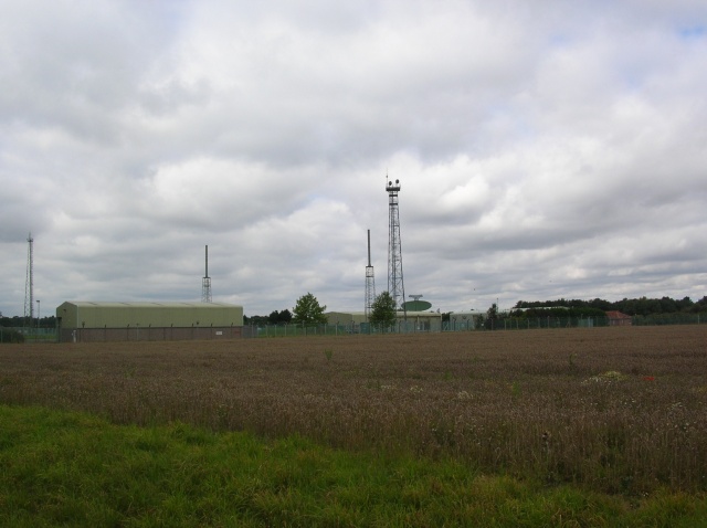
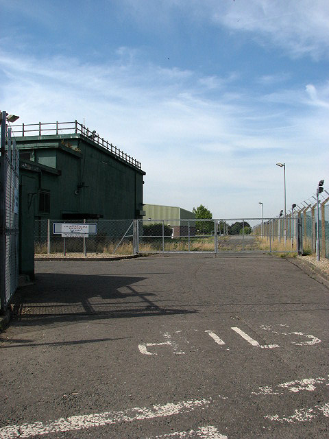
RAF Neatishead
Remote Radar Head Neatishead ( NEE-tis-hed), and commonly abbreviated RRH Neatishead, is an air defence radar site operated by the Royal Air Force (RAF...

Clayrack Drainage Mill
Clayrack Drainage Windmill is located at How Hill in the English county of Norfolk. It is on the east bank of the River Ant close to How Hill, a large...
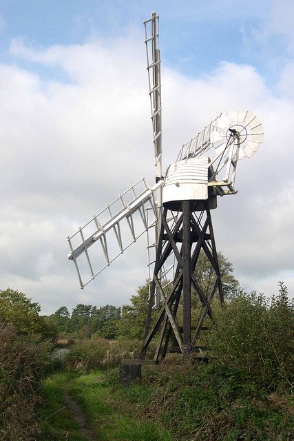
Boardman's Windmill
Boardman's Drainage Windmill is located at How Hill in the English county of Norfolk It is on the east bank of the River Ant close to the large Edwardian...

How Hill
How Hill is a hamlet on the River Ant within The Broads National Park in Ludham parish, Norfolk, England. How Hill House, completed in 1903, was designed...
How Hill House
How Hill House is a large Edwardian house in How Hill, an area of Ludham parish, Norfolk, England. The house overlooks the River Ant and is within the...
Nearby Amenities
Located within 500m of 52.722412,1.4853499Have you been to Alderfen Broad?
Leave your review of Alderfen Broad below (or comments, questions and feedback).