Greenbank

Settlement in Stirlingshire

Scotland

Greenbank

Falkirk Wheel - upper level sealing arrangement Swinging the boat lift is the easy bit, it is the sealing devices at each level and at each end of the two boat chambers that get complicated. A view from a descending boat.
Falkirk Wheel - upper level sealing arrangement Credit: Robin Webster

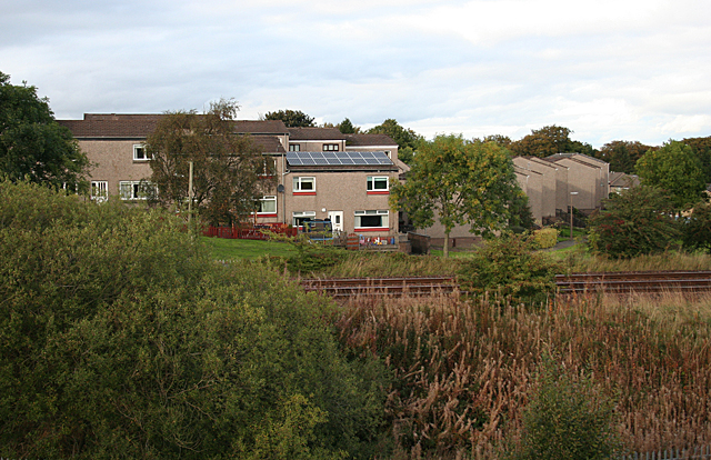
Greenbank is a small village located in the Stirlingshire region of Scotland. Situated approximately 8 miles northwest of the city of Stirling, Greenbank is nestled within the picturesque countryside, offering stunning views of the surrounding hills and valleys.

The village is primarily residential, consisting of a mix of traditional stone-built cottages and modern houses. The community in Greenbank is close-knit and friendly, with a population of around 500 residents. The village has a peaceful and serene atmosphere, making it an ideal place for those seeking a quiet and tranquil lifestyle.

While Greenbank does not have its own amenities, it benefits from its close proximity to the nearby town of Dollar, which is just a short drive away. Dollar offers a range of amenities including shops, supermarkets, cafes, and restaurants, ensuring that residents have easy access to everyday necessities.

For outdoor enthusiasts, Greenbank is surrounded by natural beauty and offers plenty of opportunities for outdoor activities. The Ochil Hills, which lie to the north of the village, provide extensive walking and cycling routes, allowing residents to explore the stunning Scottish countryside. Additionally, the nearby River Devon offers opportunities for fishing and boating.

Greenbank is well-connected to neighboring areas via road links, with the A91 passing nearby, providing easy access to Stirling and other surrounding towns. The village also benefits from regular bus services, making it convenient for residents to travel to nearby areas.

Overall, Greenbank is a charming village with a strong sense of community, offering residents a peaceful and scenic environment to call home.

If you have any feedback on the listing, please let us know in the comments section below.
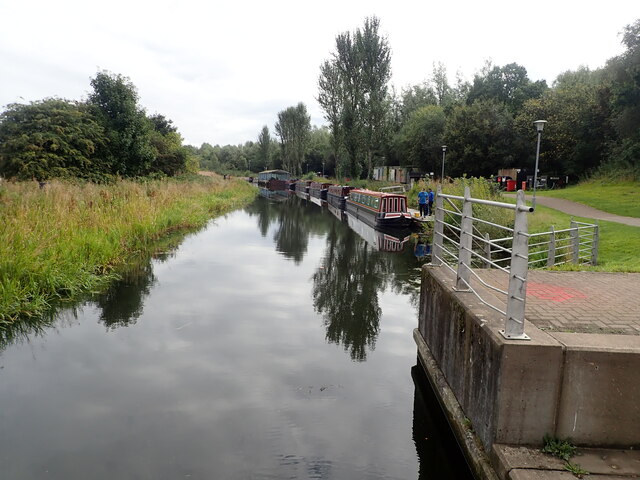
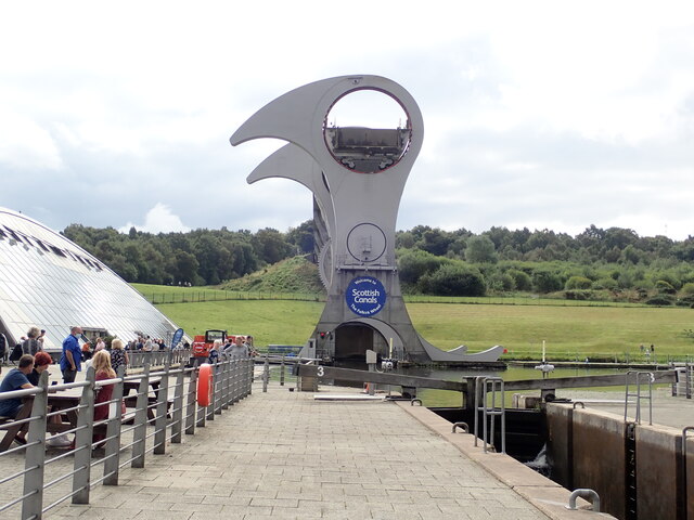
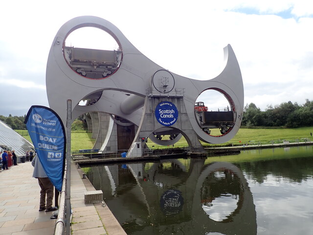
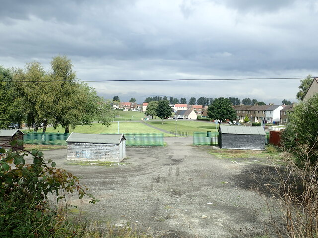
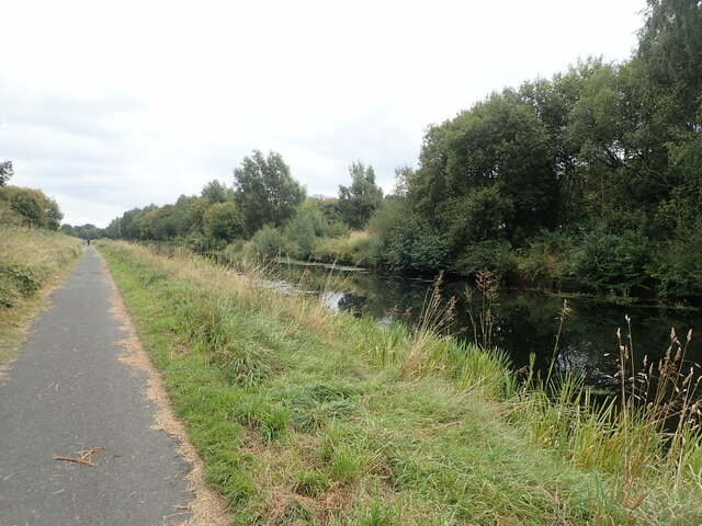
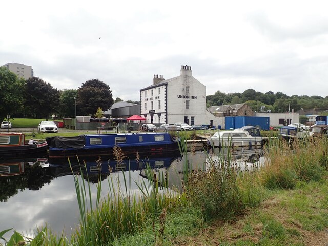
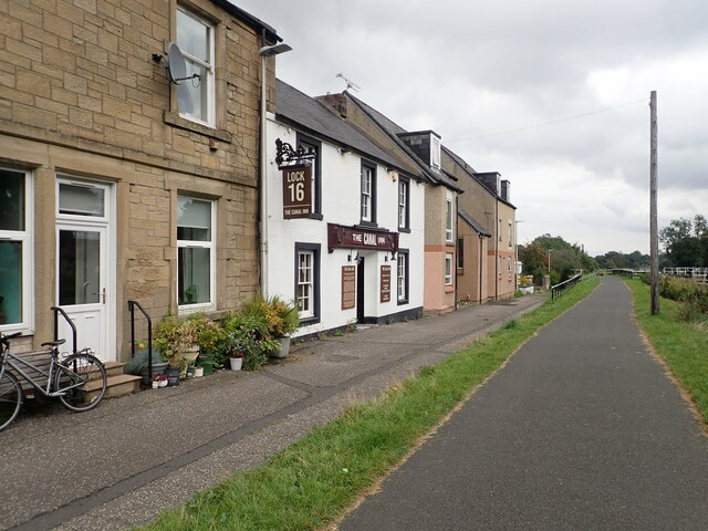
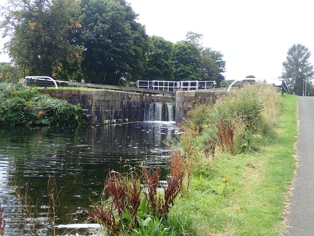
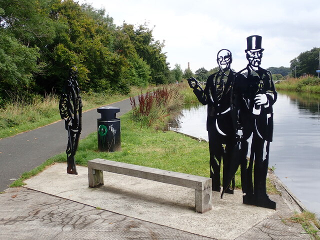
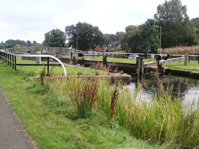
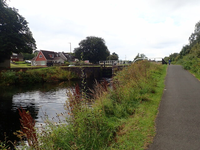
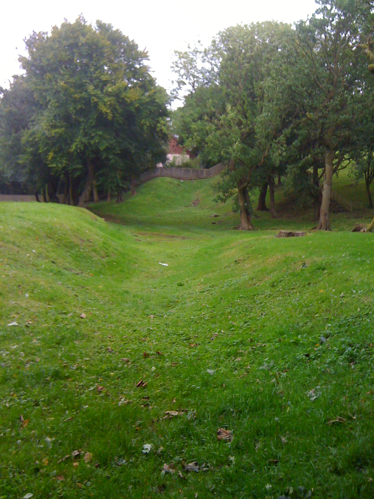
Greenbank Images

Images are sourced within 2km of 55.993192/-3.8208316 or Grid Reference NS8679. Thanks to Geograph Open Source API. All images are credited.

Falkirk Wheel - upper level sealing arrangement Swinging the boat lift is the easy bit, it is the sealing devices at each level and at each end of the two boat chambers that get complicated. A view from a descending boat.
Falkirk Wheel - upper level sealing arrangement
Swinging the boat lift is the easy bit, it is the sealing devices at each level and at each end of the two boat chambers that get complicated. A view from a descending boat.
Falkirk Wheel and a Kelpie model, 2007 Despite what Wikipedia says, the miniature (1/10) Kelpies existed in 2007, and were not made in 2008. They were on display here before the large size ones were made or even had the finance secured, from what I remember of the display board.
Falkirk Wheel and a Kelpie model, 2007
Despite what Wikipedia says, the miniature (1/10) Kelpies existed in 2007, and were not made in 2008. They were on display here before the large size ones were made or even had the finance secured, from what I remember of the display board.
Alexander Dennis factory at Stirling Major bus builder who design, engineer, build and support the widest range of market leading buses and coaches using low, ultra-low and zero emission technologies.
Alexander Dennis factory at Stirling
Major bus builder who design, engineer, build and support the widest range of market leading buses and coaches using low, ultra-low and zero emission technologies.
Forth and Clyde Canal at Lock 16 The Forth and Clyde Canal links Bowling on the Firth of Clyde with Grangemouth on the Firth of Forth. It allowed goods to be transported between the east and west coasts, and to be exported from Glasgow to Europe or from Edinburgh to America, without taking the hazardous route round the north of Scotland or the longer route via the English Channel. 

It is 56 kilometres (35 miles) long and has 39 locks, and the highest point is 47 metres (155 feet) above sea level. Originally there were 33 drawbridges, ten large aqueducts and 33 smaller ones.

It was designed by the engineer John Smeaton and opened in 1790, after over 20 years of planning and construction. 

With time seagoing vessels became too large to pass through the locks, and competition from the railways in the 19th century led to it being more or less disused, and it was closed in 1963.

However it was reopened as a Millennium project in 2001, and linked to the Union Canal by the Falkirk Wheel.
Forth and Clyde Canal at Lock 16
The Forth and Clyde Canal links Bowling on the Firth of Clyde with Grangemouth on the Firth of Forth. It allowed goods to be transported between the east and west coasts, and to be exported from Glasgow to Europe or from Edinburgh to America, without taking the hazardous route round the north of Scotland or the longer route via the English Channel. It is 56 kilometres (35 miles) long and has 39 locks, and the highest point is 47 metres (155 feet) above sea level. Originally there were 33 drawbridges, ten large aqueducts and 33 smaller ones. It was designed by the engineer John Smeaton and opened in 1790, after over 20 years of planning and construction. With time seagoing vessels became too large to pass through the locks, and competition from the railways in the 19th century led to it being more or less disused, and it was closed in 1963. However it was reopened as a Millennium project in 2001, and linked to the Union Canal by the Falkirk Wheel.
The Falkirk Wheel Visitor Centre for the Falkirk Wheel, and behind it the Union Canal culminating in a boat lift
The Falkirk Wheel
Visitor Centre for the Falkirk Wheel, and behind it the Union Canal culminating in a boat lift
Rotating bridge at the basin at the foot of the Falkirk Wheel Opened in 2002 by the Queen, the Falkirk Wheel is a testament to the popularity of canal cruising in the modern era. It connects the Forth and Clyde Canal with the Union Canal, replacing a flight of locks which fell into disuse in the 1930s and had been built on. The wheel raises or lowers boats 24m (79ft) and takes five-and-a-half minutes to complete a rotation. It is now a major visitor attraction.
Rotating bridge at the basin at the foot of the Falkirk Wheel
Opened in 2002 by the Queen, the Falkirk Wheel is a testament to the popularity of canal cruising in the modern era. It connects the Forth and Clyde Canal with the Union Canal, replacing a flight of locks which fell into disuse in the 1930s and had been built on. The wheel raises or lowers boats 24m (79ft) and takes five-and-a-half minutes to complete a rotation. It is now a major visitor attraction.
Narrow boats at the landing stage  On the Forth and Clyde Canal near the Falkirk Wheel
Narrow boats at the landing stage
On the Forth and Clyde Canal near the Falkirk Wheel
Falkirk Wheel Waiting for the wheel to rotate, one gondola is at the top and the other in the tunnel at the bottom
Falkirk Wheel
Waiting for the wheel to rotate, one gondola is at the top and the other in the tunnel at the bottom
Half-way round on the Falkirk Wheel Opened in 2002 by the Queen, the Falkirk Wheel is a testament to the popularity of canal cruising in the modern era. It connects the Forth and Clyde Canal with the Union Canal, replacing a flight of locks which fell into disuse in the 1930s and had been built on. The wheel raises or lowers boats 24m (79ft) and takes five-and-a-half minutes to complete a rotation. It is now a major visitor attraction.
Half-way round on the Falkirk Wheel
Opened in 2002 by the Queen, the Falkirk Wheel is a testament to the popularity of canal cruising in the modern era. It connects the Forth and Clyde Canal with the Union Canal, replacing a flight of locks which fell into disuse in the 1930s and had been built on. The wheel raises or lowers boats 24m (79ft) and takes five-and-a-half minutes to complete a rotation. It is now a major visitor attraction.
Towpath beside the Forth and Clyde Canal 4.1 miles to go to reach the Kelpies from the Falkirk Wheel
Towpath beside the Forth and Clyde Canal
4.1 miles to go to reach the Kelpies from the Falkirk Wheel
Playing fields at Carmuirs
Towpath along the Forth and Clyde Canal The Forth and Clyde Canal links Bowling on the Firth of Clyde with Grangemouth on the Firth of Forth. It allowed goods to be transported between the east and west coasts, and to be exported from Glasgow to Europe or from Edinburgh to America, without taking the hazardous route round the north of Scotland or the longer route via the English Channel. 

It is 56 kilometres (35 miles) long and has 39 locks, and the highest point is 47 metres (155 feet) above sea level. Originally there were 33 drawbridges, ten large aqueducts and 33 smaller ones.

It was designed by the engineer John Smeaton and opened in 1790, after over 20 years of planning and construction. 

With time seagoing vessels became too large to pass through the locks, and competition from the railways in the 19th century led to it being more or less disused, and it was closed in 1963.

However it was reopened as a Millennium project in 2001, and linked to the Union Canal by the Falkirk Wheel.
Towpath along the Forth and Clyde Canal
The Forth and Clyde Canal links Bowling on the Firth of Clyde with Grangemouth on the Firth of Forth. It allowed goods to be transported between the east and west coasts, and to be exported from Glasgow to Europe or from Edinburgh to America, without taking the hazardous route round the north of Scotland or the longer route via the English Channel. It is 56 kilometres (35 miles) long and has 39 locks, and the highest point is 47 metres (155 feet) above sea level. Originally there were 33 drawbridges, ten large aqueducts and 33 smaller ones. It was designed by the engineer John Smeaton and opened in 1790, after over 20 years of planning and construction. With time seagoing vessels became too large to pass through the locks, and competition from the railways in the 19th century led to it being more or less disused, and it was closed in 1963. However it was reopened as a Millennium project in 2001, and linked to the Union Canal by the Falkirk Wheel.
Union Inn near Lock 16  The Union Canal from Edinburgh joined the Forth and Clyde here in 1822. The Union Inn was built beside the basin to cater for boat passengers travelling between Glasgow and Edinburgh.
Union Inn near Lock 16
The Union Canal from Edinburgh joined the Forth and Clyde here in 1822. The Union Inn was built beside the basin to cater for boat passengers travelling between Glasgow and Edinburgh.
Canal Inn Beside the towpath along the Forth and Clyde Canal
Canal Inn
Beside the towpath along the Forth and Clyde Canal
Lock 15 on the Forth and Clyde Canal The Forth and Clyde Canal links Bowling on the Firth of Clyde with Grangemouth on the Firth of Forth. It allowed goods to be transported between the east and west coasts, and to be exported from Glasgow to Europe or from Edinburgh to America, without taking the hazardous route round the north of Scotland or the longer route via the English Channel. 

It is 56 kilometres (35 miles) long and has 39 locks, and the highest point is 47 metres (155 feet) above sea level. Originally there were 33 drawbridges, ten large aqueducts and 33 smaller ones.

It was designed by the engineer John Smeaton and opened in 1790, after over 20 years of planning and construction. 

With time seagoing vessels became too large to pass through the locks, and competition from the railways in the 19th century led to it being more or less disused, and it was closed in 1963.

However it was reopened as a Millennium project in 2001, and linked to the Union Canal by the Falkirk Wheel.
Lock 15 on the Forth and Clyde Canal
The Forth and Clyde Canal links Bowling on the Firth of Clyde with Grangemouth on the Firth of Forth. It allowed goods to be transported between the east and west coasts, and to be exported from Glasgow to Europe or from Edinburgh to America, without taking the hazardous route round the north of Scotland or the longer route via the English Channel. It is 56 kilometres (35 miles) long and has 39 locks, and the highest point is 47 metres (155 feet) above sea level. Originally there were 33 drawbridges, ten large aqueducts and 33 smaller ones. It was designed by the engineer John Smeaton and opened in 1790, after over 20 years of planning and construction. With time seagoing vessels became too large to pass through the locks, and competition from the railways in the 19th century led to it being more or less disused, and it was closed in 1963. However it was reopened as a Millennium project in 2001, and linked to the Union Canal by the Falkirk Wheel.
Local Heroes Cut-out sculptures of three renowned local men - Dr Harold Lyon on the left, who established a centre for palliative care for Central Scotland; Reginald Adams (centre) a swimming trainer over 50 years who coached Scottish champions, and Robert Barr (right) who produced the famous Scottish soft drink "Iron Brew" in 1875
Local Heroes
Cut-out sculptures of three renowned local men - Dr Harold Lyon on the left, who established a centre for palliative care for Central Scotland; Reginald Adams (centre) a swimming trainer over 50 years who coached Scottish champions, and Robert Barr (right) who produced the famous Scottish soft drink "Iron Brew" in 1875
Lock 14 on the Forth and Clyde Canal
Camelon Lock No.13 on the Clyde and Forth Canal The towpath is a popular walk between the Helix and the Falkirk Wheel
Camelon Lock No.13 on the Clyde and Forth Canal
The towpath is a popular walk between the Helix and the Falkirk Wheel
Show me another place!

Greenbank is located at Grid Ref: NS8679 (Lat: 55.993192, Lng: -3.8208316)

Unitary Authority: Falkirk

Police Authority: Forth Valley

What 3 Words

///exhale.unfit.dirt. Near Falkirk

Related Wikis

Bantaskine

Bantaskine is a park with woodlands in Falkirk, Scotland that was formerly the Bantaskine Estate, a coal mining estate. The artist Mary Georgina Wade...

Watling Lodge

Watling Lodge was a Roman fortlet on the Antonine Wall in Scotland. It was located near what is now Lock Sixteen on the Forth and Clyde Canal in Falkirk...

Tamfourhill

Tamfourhill is a working-class residential suburb of Falkirk within the Falkirk (council area), Scotland. It is located approximately 1.5 miles (2.5 kilometres...

Camelon Juniors F.C.

Camelon Juniors Football Club are a Scottish football club based in Camelon, in the Falkirk district. The team plays in the East of Scotland League First...

Battle of Falkirk Muir

The Battle of Falkirk Muir (Scottish Gaelic: Blàr na h-Eaglaise Brice), also known as the Battle of Falkirk, took place on 17 January 1746 during the Jacobite...

Falkirk High School

Falkirk High School is a high school located in Falkirk, Stirlingshire that was founded in 1886. It is a non-denominational six-year fully comprehensive...

Camelon

Camelon (; Scots: Caimlan, Scottish Gaelic: Camalan) is a large settlement within the Falkirk council area, Scotland. The village is in the Forth Valley...

Millennium Link

The Millennium Link is one of the biggest engineering projects ever undertaken by British Waterways. The Union Canal and the Forth & Clyde Canal were originally...

Nearby Amenities

Located within 500m of 55.993192,-3.8208316
Barrier: swing_gate
Bicycle: yes
Foot: yes
Lat/Long: 55.9936886/-3.8136689
Battle of Falkirk
Historic: memorial
Inscription: The Battle of Falkirk was fought around here 17th Jany 1946
Note: The word "January" is abbreviated to "Jany" on the plaque affixed to the memorial
Subject Wikidata: Q1417580
Subject Wikipedia: en:Battle of Falkirk Muir
Lat/Long: 55.9900229/-3.8163615
Noexit: yes
Lat/Long: 55.9958053/-3.8222634
Noexit: yes
Lat/Long: 55.9958689/-3.8209283
Barrier: motorcycle_barrier
Source: survey
Lat/Long: 55.9954789/-3.8184566
Barrier: motorcycle_barrier
Source: survey
Lat/Long: 55.9949006/-3.8135279
Barrier: motorcycle_barrier
Source: survey
Lat/Long: 55.9962225/-3.815238
Barrier: cycle_barrier
Bicycle: yes
Foot: yes
Lat/Long: 55.9968342/-3.8169248
Power: tower
Lat/Long: 55.9930763/-3.8226364
Power: pole
Lat/Long: 55.9891765/-3.8186371
Power: pole
Lat/Long: 55.9898231/-3.8198226
Power: pole
Lat/Long: 55.993239/-3.8280329
Power: pole
Lat/Long: 55.9928565/-3.8265094
Power: pole
Lat/Long: 55.9913713/-3.8224029
Power: pole
Lat/Long: 55.9921244/-3.8236394
Power: pole
Lat/Long: 55.992465/-3.8249832
Power: pole
Lat/Long: 55.9904682/-3.820976
Power: tower
Lat/Long: 55.9908218/-3.8184507
Power: tower
Lat/Long: 55.9920495/-3.8208926
Turning Circle
Lat/Long: 55.992144/-3.8223718
Power: tower
Lat/Long: 55.9935224/-3.825154
Power: tower
Lat/Long: 55.9939181/-3.8275979
Man Made: tower
Source: survey
Tower Type: communication
Lat/Long: 55.9947742/-3.8152673
Source: survey
Tourism: picnic_site
Lat/Long: 55.9953069/-3.8147681
Bench
Backrest: no
Material: wood
Seats: 3
Source: survey
Lat/Long: 55.9954122/-3.8153416
Bench
Backrest: no
Material: wood
Seats: 3
Source: survey
Lat/Long: 55.9954217/-3.8152729
Bench
Backrest: no
Material: wood
Seats: 3
Source: survey
Lat/Long: 55.9954259/-3.8154131
Barrier: motorcycle_barrier
Lat/Long: 55.9961514/-3.816916
Bench
Backrest: no
Material: wood
Seats: 3
Source: survey
Lat/Long: 55.996283/-3.8163591
Bench
Backrest: no
Material: wood
Seats: 3
Source: survey
Lat/Long: 55.9963015/-3.8162484
Bench
Backrest: no
Material: wood
Seats: 3
Source: survey
Lat/Long: 55.9963053/-3.8163153
Barrier: swing_gate
Bicycle: yes
Foot: yes
Lat/Long: 55.9937561/-3.8132154
Bench
Backrest: yes
Source: survey
Lat/Long: 55.9938525/-3.8151099
Waste Basket
Lat/Long: 55.99218/-3.8130369
Bench
Backrest: yes
Material: wood
Seats: 4
Lat/Long: 55.9921812/-3.8130879
Tourism: viewpoint
Lat/Long: 55.9922074/-3.8130402
Bicycle: yes
Hiking: yes
Information: guidepost
Tourism: information
Lat/Long: 55.993458/-3.8143676
Bus Stop
Bench: yes
Naptan AtcoCode: 66901690006
Naptan NaptanCode: 32523846
Network: 3
Operator: First Bus
Shelter: yes
Lat/Long: 55.9972787/-3.821884
Bus Stop
Lat/Long: 55.9972261/-3.8217011
Bus Stop
Lat/Long: 55.997443/-3.8186449
WW2 Bomber
Bicycle: yes
Hiking: yes
Information: guidepost
Tourism: information
Lat/Long: 55.9893435/-3.8225073
Battle of Falkirk Muir
Board Type: history
Information: board
Tourism: information
Lat/Long: 55.992221/-3.8130873
Hanoverian Foot Soldier
Bicycle: yes
Hiking: yes
Information: guidepost
Tourism: information
Lat/Long: 55.9913741/-3.8145478
Cameron Highlander
Bicycle: yes
Hiking: yes
Information: guidepost
Tourism: information
Lat/Long: 55.9914709/-3.8152935
Battle of Falkirk Muir
Board Type: history
Information: board
Subject Wikidata: Q1417580
Subject Wikipedia: en:Battle of Falkirk Muir
Tourism: information
Lat/Long: 55.9901136/-3.816135
Battle of Falkirk Monument
Bicycle: yes
Hiking: yes
Information: guidepost
Tourism: information
Lat/Long: 55.9900382/-3.8180414
Bicycle: yes
Hiking: yes
Information: guidepost
Tourism: information
Lat/Long: 55.990501/-3.8211715
Bicycle: yes
Hiking: yes
Information: guidepost
Tourism: information
Lat/Long: 55.9905197/-3.8219816
Badgers
Bicycle: yes
Hiking: yes
Information: guidepost
Tourism: information
Lat/Long: 55.9903345/-3.8222685
Generator Method: photovoltaic
Generator Output Electricity: yes
Generator Source: solar
Generator Type: solar_photovoltaic_panel
Power: generator
Lat/Long: 55.996844/-3.8250016
Generator Method: photovoltaic
Generator Output Electricity: yes
Generator Source: solar
Generator Type: solar_photovoltaic_panel
Power: generator
Lat/Long: 55.9960278/-3.826572
Generator Method: photovoltaic
Generator Output Electricity: yes
Generator Source: solar
Generator Type: solar_photovoltaic_panel
Power: generator
Lat/Long: 55.995988/-3.8264521
Generator Method: photovoltaic
Generator Output Electricity: yes
Generator Source: solar
Generator Type: solar_photovoltaic_panel
Power: generator
Lat/Long: 55.9962449/-3.8263667
Generator Method: photovoltaic
Generator Output Electricity: yes
Generator Source: solar
Generator Type: solar_photovoltaic_panel
Power: generator
Lat/Long: 55.9962006/-3.8262386
Generator Method: photovoltaic
Generator Output Electricity: yes
Generator Source: solar
Generator Type: solar_photovoltaic_panel
Power: generator
Lat/Long: 55.9961157/-3.825422
Generator Method: photovoltaic
Generator Output Electricity: yes
Generator Source: solar
Generator Type: solar_photovoltaic_panel
Power: generator
Lat/Long: 55.9960802/-3.8268927
Post Box
Collection Times: Mo-Fr 09:00; Sa 07:00
Operator: Royal Mail
Post Box Type: pillar
Ref: FK1 29D
Royal Cypher: scottish_crown
Lat/Long: 55.9965682/-3.8204078
Barrier: swing_gate
Bicycle: yes
Foot: yes
Lat/Long: 55.9949293/-3.8191885
Man Made: mast
Tower Type: communication
Lat/Long: 55.9942298/-3.8150601
Bench: yes
Leisure: picnic_table
Lit: no
Material: wood
Lat/Long: 55.9919555/-3.8131465
Bench: yes
Leisure: picnic_table
Lit: no
Material: wood
Lat/Long: 55.9920464/-3.8134438
Bench: yes
Leisure: picnic_table
Lit: no
Material: wood
Lat/Long: 55.9919622/-3.8137456
Noexit: yes
Lat/Long: 55.995843/-3.8235989
Railway: signal
Railway Signal Direction: forward
Railway Signal Main: GB-NR:main
Railway Signal Main Form: light
Ref: EGJ378
Lat/Long: 55.9943217/-3.8130755
Railway: signal
Railway Signal Direction: forward
Railway Signal Main: GB-NR:main
Railway Signal Main Form: light
Ref: EGJ377
Lat/Long: 55.9949956/-3.8185327
The data included in this document is from www.openstreetmap.org. The data is made available under ODbL.

Have you been to Greenbank?

Leave your review of Greenbank below (or comments, questions and feedback).