Brabbin's Pond

Lake, Pool, Pond, Freshwater Marsh in Norfolk South Norfolk

England

Brabbin's Pond

A143 east approaching Harmans Lane West junction, Needham
A143 east approaching Harmans Lane West junction, Needham Credit: Roy Hughes

Brabbin's Pond is a picturesque freshwater pond located in Norfolk, England. Covering an area of approximately 5 acres, it is nestled within the tranquil countryside, surrounded by lush greenery and diverse wildlife. The pond is characterized by its calm and clear waters, making it an ideal habitat for various aquatic species.

The pond, often referred to as a lake due to its size, is believed to have been formed during the last Ice Age. It is fed by several natural springs, which help maintain a constant water level throughout the year. The water is predominantly sourced from rainfall and runoff from the surrounding land.

Brabbin's Pond serves as a crucial ecosystem, supporting a wide range of flora and fauna. The edges of the pond are adorned with reeds, rushes, and water lilies, creating a vibrant and colorful aquatic habitat. It is home to numerous fish species, including carp, pike, and perch, providing a popular spot for anglers.

The pond also attracts a variety of bird species, making it a haven for birdwatchers. Visitors may spot common waterfowl such as ducks, swans, and coots, as well as more elusive species like kingfishers and herons. The surrounding marshland and woodland provide additional habitat for a diverse array of wildlife, including otters, voles, and dragonflies.

Brabbin's Pond offers visitors the opportunity to experience the beauty of nature, providing a peaceful retreat away from the hustle and bustle of urban life. Whether it's fishing, birdwatching, or simply enjoying a leisurely stroll along its banks, this freshwater oasis is a cherished gem in the Norfolk countryside.

If you have any feedback on the listing, please let us know in the comments section below.

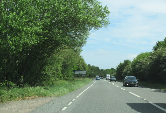
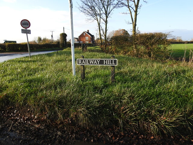
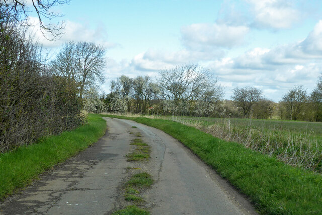
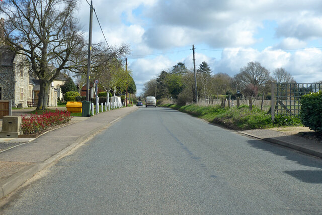
Brabbin's Pond Images

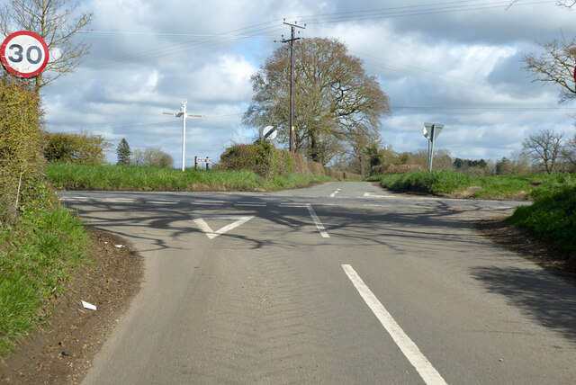
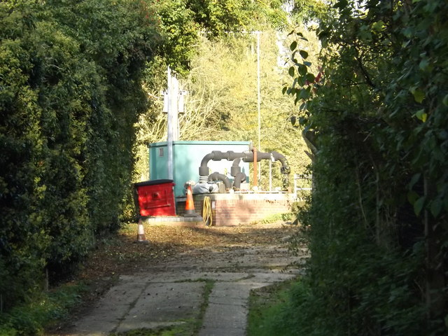
Images are sourced within 2km of 52.390048/1.2677393 or Grid Reference TM2281. Thanks to Geograph Open Source API. All images are credited.

A143 east approaching Harmans Lane West junction, Needham
A143 east at island for Harleston and Needham
Railway Hill street name sign Railway Hill was formerly Grovehill Road before the railway in 1855. It also seems to be known as Starston Lane on some maps or even Middle Road.
Railway Hill street name sign
Railway Hill was formerly Grovehill Road before the railway in 1855. It also seems to be known as Starston Lane on some maps or even Middle Road.
Rural road junction Wingfield Road curves round to the right towards Harleston, but cedes majority to  Hoxne Road coming from the left from the Hoxne, Eye and Diss direction.
Rural road junction
Wingfield Road curves round to the right towards Harleston, but cedes majority to Hoxne Road coming from the left from the Hoxne, Eye and Diss direction.
Mill Lane towards Needham The mill was a water mill on the Waveney. The buildings survive.
Mill Lane towards Needham
The mill was a water mill on the Waveney. The buildings survive.
River Waveney by the Old Mill Looking upstream.
River Waveney by the Old Mill
Looking upstream.
High Road, Needham Towards Harleston.
High Road, Needham
Towards Harleston.
High Road, Needham towards A143 roundabout
Crossroads west of Harleston Rushall Road left and right, Railway Hill straight on, as plated, although maps have other names.
Crossroads west of Harleston
Rushall Road left and right, Railway Hill straight on, as plated, although maps have other names.
Wingfield Road & Bridge <span class="nowrap"><a title="https://en.wikipedia.org/wiki/Weybread" rel="nofollow ugc noopener" href="https://en.wikipedia.org/wiki/Weybread">Link</a><img style="margin-left:2px;" alt="External link" title="External link - shift click to open in new window" src="https://s1.geograph.org.uk/img/external.png" width="10" height="10"/></span>
Wingfield Road & Bridge
Wingfield Road, Weybread At the junction with Mill Lane
Wingfield Road, Weybread
At the junction with Mill Lane
Mill Lane, Weybread At the junction with Wingfield Road
Mill Lane, Weybread
At the junction with Wingfield Road
Wingfield Road, Weybread At the junction with Mill Lane
Wingfield Road, Weybread
At the junction with Mill Lane
Signpost on Wingfield Road At the junction with Mill Lane
Signpost on Wingfield Road
At the junction with Mill Lane
Wingfield Road & Bridge <span class="nowrap"><a title="https://en.wikipedia.org/wiki/Weybread" rel="nofollow ugc noopener" href="https://en.wikipedia.org/wiki/Weybread">Link</a><img style="margin-left:2px;" alt="External link" title="External link - shift click to open in new window" src="https://s1.geograph.org.uk/img/external.png" width="10" height="10"/></span>
Wingfield Road & Bridge
Entrance to Weybread Sewage Works Off Wingfield Road
Entrance to Weybread Sewage Works
Off Wingfield Road
Weybread Sewage Works Off Wingfield Road
(Close up)
Weybread Sewage Works
Off Wingfield Road (Close up)
Wingfield Road, Weybread At the entrance to Weybread Sewage Works
Wingfield Road, Weybread
At the entrance to Weybread Sewage Works
Show me another place!

Brabbin's Pond is located at Grid Ref: TM2281 (Lat: 52.390048, Lng: 1.2677393)

Administrative County: Norfolk

District: South Norfolk

Police Authority: Norfolk

What 3 Words

///amphibian.onion.confirms. Near Harleston, Norfolk

Related Wikis

Needham, Norfolk

Needham is a small village in Norfolk, England. It covers an area of 4.69 km2 (1.81 sq mi) and had a population of 310 in 129 households at the 2001 census...

Harleston Sancroft Academy

The Harleston Sancroft Academy is a Church of England all-through school located in Harleston, Norfolk, England. It was formed on 1 September 2022 from...

Starston railway station

Starston was a railway station on the Waveney Valley Line in Norfolk, England. It was open for just ten years before low traffic usage caused its closure...

Harleston Town F.C.

Harleston Town Football Club is a football club based in Harleston, Norfolk, England. They are currently members of the Eastern Counties League Premier...

Weybread

Weybread is a village in Suffolk, England. The population of the village at the 2011 Census was 432.Its church, St. Andrew's, is one of 38 existing round...

Redenhall with Harleston

Redenhall with Harleston is a civil parish in the South Norfolk district of the English county of Norfolk, comprising the town of Harleston and the neighbouring...

Corn Exchange, Harleston

The Corn Exchange is a commercial building in Exchange Street in Harleston, Norfolk, England. The structure, which used as a vintage and antiques emporium...
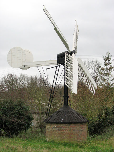
Starston Windpump

Starston Wind Pump is a hollow post mill for pumping water, situated west of the village of Starston in Norfolk, England. The Pump is 330 yards away from...

Nearby Amenities

Located within 500m of 52.390048,1.2677393
Needham
Place: village
Wikidata: Q2592218
Wikipedia: en:Needham, Norfolk
Lat/Long: 52.3876956/1.2729707
Bus Stop
Needham High Road / Burnt House Lane
Bench: no
Bin: no
Covered: no
Naptan AtcoCode: 2900N051
Naptan Bearing: NE
Naptan CommonName: BT Box
Naptan Indicator: adj
Naptan Landmark: No. 94 High Road
Naptan Locality: Needham
Naptan NaptanCode: nfodgtja
Naptan Street: High Road
Naptan Verified: yes
Passenger Information Display: no
Public Transport: platform
Shelter: no
Source: naptan_import;survey
Tactile Paving: yes
Lat/Long: 52.3867139/1.2721709
Bus Stop
Needham High Road / opp Burnt House Lane
Bench: no
Bin: no
Covered: no
Naptan AtcoCode: 2900N052
Naptan Bearing: SW
Naptan CommonName: BT Box
Naptan Indicator: opp
Naptan Landmark: Shingle Farm
Naptan Locality: Needham
Naptan NaptanCode: nfodgtjd
Naptan Street: High Road
Naptan Verified: yes
Passenger Information Display: no
Public Transport: platform
Shelter: no
Source: naptan_import;survey
Tactile Paving: yes
Lat/Long: 52.386688/1.272301
Crossing
Crossing: uncontrolled
Lat/Long: 52.3892037/1.2710131
Give Way
Lat/Long: 52.3911761/1.2682946
Needham
Colour: grey
Inscription: 2000 / S5S / 10
Man Made: village_sign
Material: metal
Note: The inscription 5 is mirrored on the sign
Start Date: 2000
Lat/Long: 52.3870745/1.273085
Give Way
Lat/Long: 52.3870975/1.2732349
Crossing
Crossing: unmarked
Crossing Island: no
Tactile Paving: no
Lat/Long: 52.3868249/1.2668598
Barrier: cycle_barrier
Bicycle: yes
Foot: yes
Material: wood
Lat/Long: 52.389133/1.2710882
Barrier: cycle_barrier
Bicycle: yes
Foot: yes
Material: wood
Lat/Long: 52.3892716/1.270933
Power: pole
Source: Bing
Lat/Long: 52.3918683/1.2615589
Power: pole
Source: Bing
Lat/Long: 52.3894342/1.2670273
Power: pole
Source: Bing
Lat/Long: 52.3914893/1.2626083
Power: pole
Source: Bing
Lat/Long: 52.3910989/1.2636966
Power: pole
Source: Bing
Lat/Long: 52.3905768/1.2647662
Power: pole
Source: Bing
Lat/Long: 52.3900161/1.2659296
Waste Basket
Waste: dog_excrement
Lat/Long: 52.3912536/1.2682678
Power: pole
Lat/Long: 52.387519/1.2703264
Power: pole
Lat/Long: 52.3878729/1.2692056
Power: pole
Lat/Long: 52.3881207/1.2685354
Power: pole
Lat/Long: 52.3884762/1.2676948
The data included in this document is from www.openstreetmap.org. The data is made available under ODbL.

Have you been to Brabbin's Pond?

Leave your review of Brabbin's Pond below (or comments, questions and feedback).