Giles's Hole
Lake, Pool, Pond, Freshwater Marsh in Suffolk Mid Suffolk
England
Giles's Hole

Giles's Hole is a picturesque freshwater marsh located in Suffolk, England. This natural water feature is often referred to as a lake, pool, or pond due to its size and characteristics. The area surrounding Giles's Hole is rich in biodiversity, making it a popular destination for nature enthusiasts and wildlife observers.
The freshwater marsh spans approximately 10 acres and is nestled within a gentle, undulating landscape. It is fed by several small streams and springs, ensuring a constant flow of fresh water throughout the year. The water is crystal clear and teeming with various aquatic plants, including water lilies, reeds, and rushes, creating a vibrant and colorful ecosystem.
Giles's Hole serves as a crucial habitat for a wide range of species. Birdwatchers flock to the area to catch a glimpse of the numerous waterfowl that call the marsh their home, such as swans, ducks, and herons. The surrounding vegetation provides ample cover for smaller bird species, making it an ideal spot for bird nesting and breeding.
Apart from its avian inhabitants, Giles's Hole also supports a diverse array of aquatic life. Visitors may spot fish such as carp, perch, and roach swimming in the shallows, while frogs and newts can be found basking in the sun along the water's edge.
The marsh is easily accessible via walking paths and offers breathtaking views of the Suffolk countryside. Its serene and tranquil atmosphere makes it an excellent location for nature walks, picnics, or simply a peaceful escape from the bustling city life.
Overall, Giles's Hole is a natural gem within Suffolk, offering a slice of untouched beauty and providing a haven for a myriad of plant and animal species.
If you have any feedback on the listing, please let us know in the comments section below.
Giles's Hole Images
Images are sourced within 2km of 52.227215/1.1804937 or Grid Reference TM1763. Thanks to Geograph Open Source API. All images are credited.


Giles's Hole is located at Grid Ref: TM1763 (Lat: 52.227215, Lng: 1.1804937)
Administrative County: Suffolk
District: Mid Suffolk
Police Authority: Suffolk
What 3 Words
///ballpoint.wacky.combos. Near Debenham, Suffolk
Nearby Locations
Related Wikis
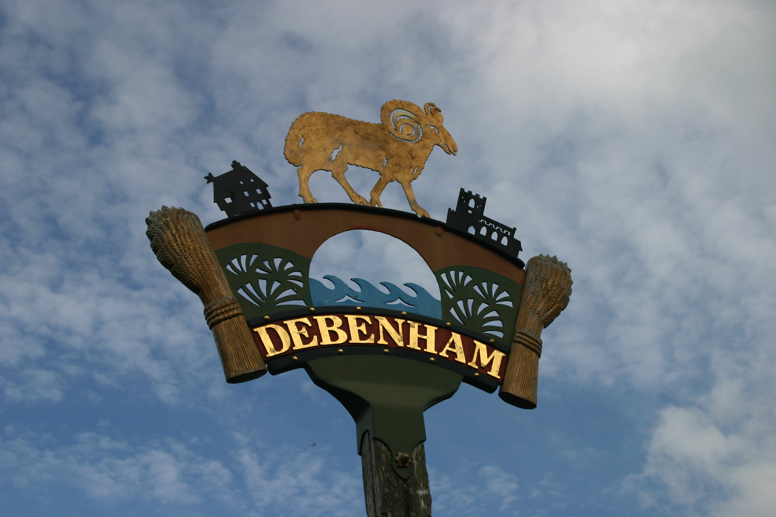
Debenham
Debenham is a village and civil parish located 11 miles (18 km) north of Ipswich in the Mid Suffolk district of Suffolk, England. The River Deben rises...

Debenham High School
Debenham High Schools is a private secondary school located in the village of Debenham in Suffolk, UK. The school accepts students who are between 11...
Thredling Hundred
Thredling was a hundred of Suffolk, and at just under 10,000 acres (40 km2) the smallest of Suffolk's 21 hundreds.The five parishes of Thredling fall into...
Debenham LC F.C.
Debenham Leisure Centre Football Club is a football club based in the village of Debenham, in Suffolk, England. The club are currently members of the Suffolk...
Aspall, Suffolk
Aspall is a village and civil parish in the Mid Suffolk district of Suffolk, England. According to the 2001 census it had a population of 52, and estimated...
Winston, Suffolk
Winston is a village and civil parish in the Mid Suffolk district of Suffolk in eastern England. Located around 8 miles (13 km) east of Stowmarket, the...
Aspall and Thorndon railway station
Aspall and Thorndon was a railway station on the Mid-Suffolk Light Railway. This station was located with Aspall to the south, Debenham 2.5 miles further...
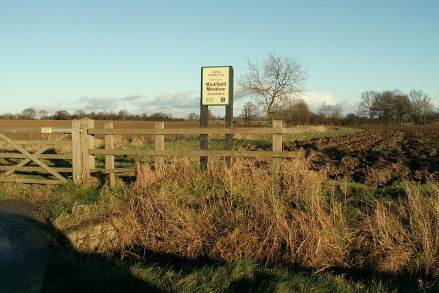
Mickfield Meadow
Mickfield Meadow is a 1.9-hectare (4.7-acre) biological Site of Special Scientific Interest north of Mickfield in Suffolk. It is managed by the Suffolk...
Nearby Amenities
Located within 500m of 52.227215,1.1804937Have you been to Giles's Hole?
Leave your review of Giles's Hole below (or comments, questions and feedback).