Chantry Cut
Lake, Pool, Pond, Freshwater Marsh in Suffolk Babergh
England
Chantry Cut

Chantry Cut is a picturesque freshwater marsh located in Suffolk, England. It is known for its serene and tranquil atmosphere, making it a popular destination for nature lovers and birdwatchers alike.
The main feature of Chantry Cut is its expansive lake, which stretches over several acres and is surrounded by lush vegetation. The lake is fed by freshwater streams and is home to various species of fish, including perch, roach, and pike. Anglers often visit Chantry Cut to try their luck at catching these prized fish.
In addition to the lake, Chantry Cut also boasts a pool and pond, creating a diverse aquatic ecosystem. These smaller water bodies attract different species of aquatic plants and provide a habitat for amphibians such as frogs and newts.
The surrounding freshwater marsh is a sight to behold, with its vibrant colors and abundant wildlife. The marsh is dotted with reeds, rushes, and water lilies, creating a picturesque landscape that is a haven for numerous bird species. Bird enthusiasts can spot a variety of species, including kingfishers, herons, swans, and ducks, among others.
Visitors to Chantry Cut can enjoy leisurely walks along the well-maintained footpaths that wind through the marsh, offering stunning views of the water and its surrounding flora and fauna. The area is also equipped with bird hides, allowing birdwatchers to observe the avian inhabitants without disturbing them.
Overall, Chantry Cut in Suffolk offers a peaceful and idyllic setting for those seeking to immerse themselves in the beauty of nature and enjoy the diverse wildlife that thrives in this freshwater habitat.
If you have any feedback on the listing, please let us know in the comments section below.
Chantry Cut Images
Images are sourced within 2km of 52.058637/1.1127461 or Grid Reference TM1344. Thanks to Geograph Open Source API. All images are credited.


Chantry Cut is located at Grid Ref: TM1344 (Lat: 52.058637, Lng: 1.1127461)
Administrative County: Suffolk
District: Babergh
Police Authority: Suffolk
What 3 Words
///lend.boxing.fully. Near Bramford, Suffolk
Nearby Locations
Related Wikis
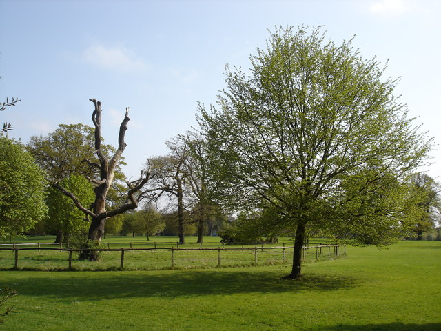
Chantry Park
Chantry Park is a park located west of Ipswich town centre, in the Ipswich district, in the county of Suffolk, England. It is the largest park in Ipswich...

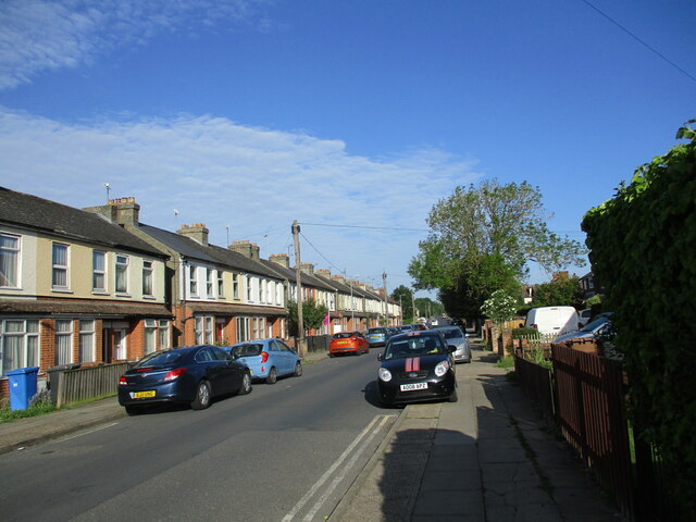
Sproughton
Sproughton (pronounced Spror-ton) is a village in Suffolk, England, just to the west of Ipswich and is in the Babergh administrative district. It has a...
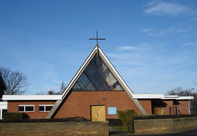
St Mark, Ipswich
St. Mark's Roman Catholic Church is a Catholic church on the Chantry Estate in Ipswich. It is part of the Roman Catholic Diocese of East Anglia. It opened...

Ipswich Stadium
Ipswich Stadium was a greyhound racing stadium situated in Ipswich, Suffolk. == Origins and Opening == In the early 1930s the site chosen for a new stadium...

Gippeswyk Park
Gippeswyk Park is a park in the South West of Ipswich in England. It was bequeathed to Ipswich by the MP Felix Cobbold. The park is located very close...
Westbourne, Suffolk
Westbourne is a suburb of Ipswich, on the northwestern fringe of the town, in the Ipswich district, in the county of Suffolk, England. It borders the suburbs...
Chantry, Suffolk
Chantry is a suburban residential area in the south west district of Ipswich, in the county of Suffolk, England. It lies west of Stoke. It has a population...
Westbourne Academy
Westbourne Academy is a secondary school with academy status located in Ipswich, Suffolk, England. It is a co-educational school for students aged 11–16...
Nearby Amenities
Located within 500m of 52.058637,1.1127461Have you been to Chantry Cut?
Leave your review of Chantry Cut below (or comments, questions and feedback).