Green Street Green

Settlement in Kent Dartford

England

Green Street Green

Closed pub, Green Street Green, near Dartford The Ship pub in the hamlet of Green Street Green, near Dartford in Kent.  The pub had been closed for about two years when this image was taken.
Closed pub, Green Street Green, near Dartford Credit: Malc McDonald

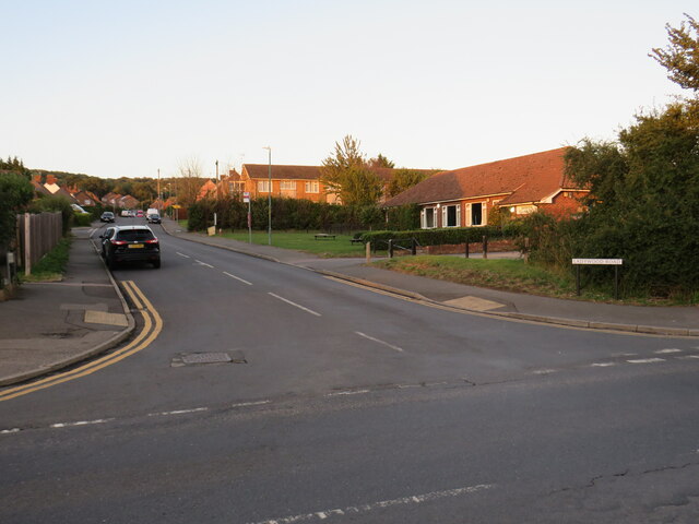
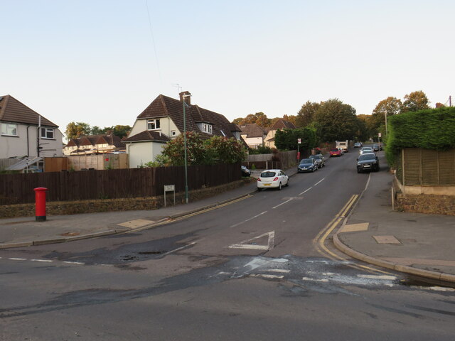
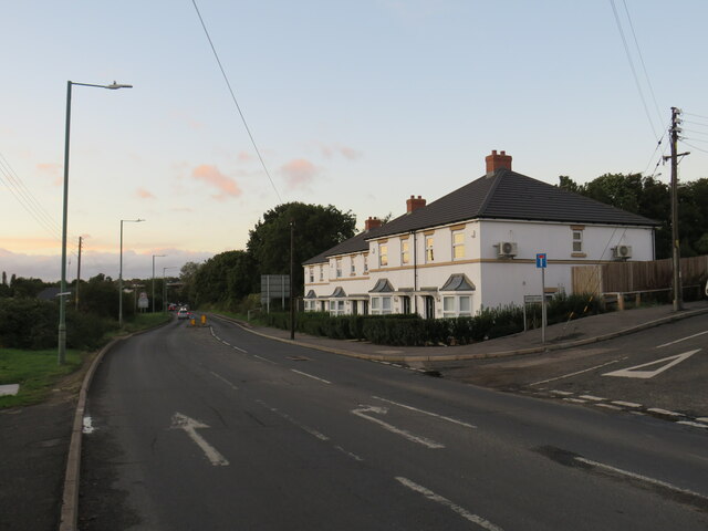
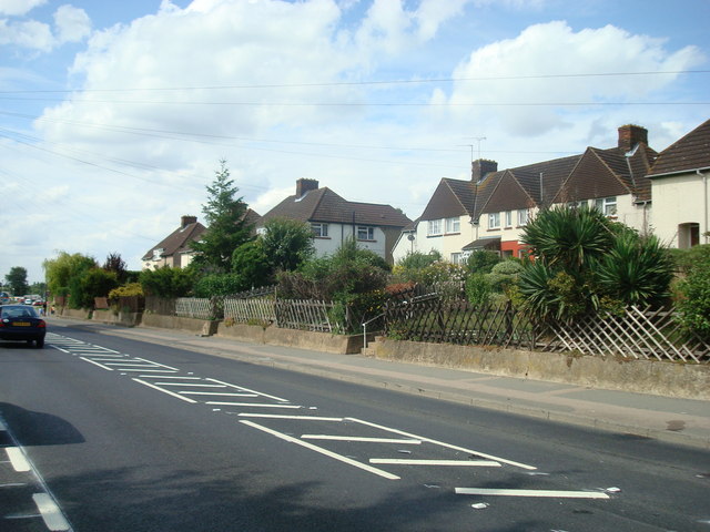
Green Street Green is a small village located in the county of Kent, England. Situated within the London Borough of Bromley, it is approximately 16 miles southeast of central London. The village is nestled in a rural setting, surrounded by picturesque countryside and beautiful green spaces.

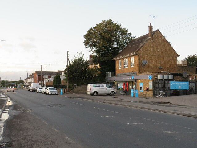
Green Street Green is known for its quaint charm and peaceful atmosphere. It offers a range of amenities for its residents and visitors, including local shops, a post office, and a few traditional pubs. The village also benefits from excellent transport links, with easy access to the nearby towns of Orpington and Bromley, as well as London via the A21 road and the M25 motorway.

One of the notable features of Green Street Green is its close proximity to several green spaces, including High Elms Country Park and Chelsfield Lakes Golf Centre. These areas provide ample opportunities for outdoor activities such as walking, cycling, and golfing.

The village is also well-served by schools, with options for both primary and secondary education. This makes it an attractive location for families looking to settle in a peaceful and safe environment, away from the hustle and bustle of city life.

Overall, Green Street Green offers a tranquil and idyllic setting, making it an appealing destination for those seeking a peaceful village lifestyle within easy reach of London and other nearby towns.

If you have any feedback on the listing, please let us know in the comments section below.

Green Street Green Images

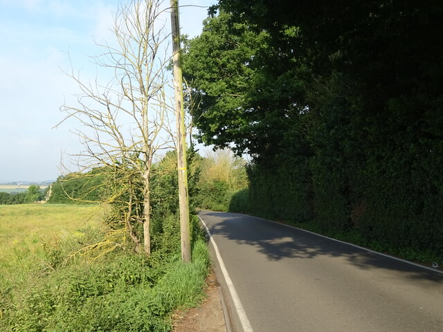
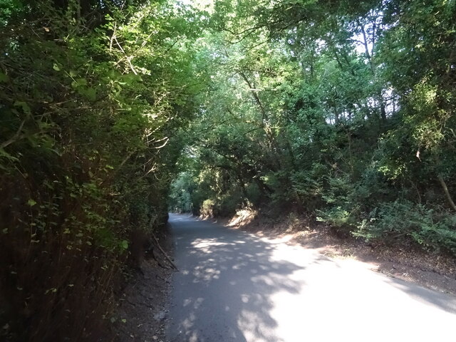
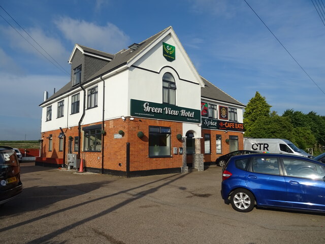
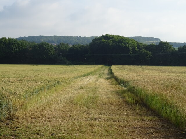
Images are sourced within 2km of 51.412719/0.274922 or Grid Reference TQ5870. Thanks to Geograph Open Source API. All images are credited.

Closed pub, Green Street Green, near Dartford The Ship pub in the hamlet of Green Street Green, near Dartford in Kent.  The pub had been closed for about two years when this image was taken.
Closed pub, Green Street Green, near Dartford
The Ship pub in the hamlet of Green Street Green, near Dartford in Kent. The pub had been closed for about two years when this image was taken.
Ladywood Road, Darenth, near Dartford, at sunset Ladywood Road in the village of Darenth, in north Kent.  This image was taken at sunset on an October day.
Ladywood Road, Darenth, near Dartford, at sunset
Ladywood Road in the village of Darenth, in north Kent. This image was taken at sunset on an October day.
Hill Rise, Darenth Hill Rise in the village of Darenth, in north Kent, photographed at dusk on an October day.
Hill Rise, Darenth
Hill Rise in the village of Darenth, in north Kent, photographed at dusk on an October day.
Watchgate, Darenth, near Dartford Watchgate forms part of the route of the B260 road as it passes through the village of Dareth.  A Co-op local convenience store stands in the opposite side of the road.
Watchgate, Darenth, near Dartford
Watchgate forms part of the route of the B260 road as it passes through the village of Dareth. A Co-op local convenience store stands in the opposite side of the road.
Green Street, Darenth Green Street, heading out of the north Kent village of Darenth, forms part of the route of the B260 road.

This image was taken at dusk on an October evening, as the daylight was fading.
Green Street, Darenth
Green Street, heading out of the north Kent village of Darenth, forms part of the route of the B260 road. This image was taken at dusk on an October evening, as the daylight was fading.
Bean Village sign
Bean Village sign
Crop field off the B262
B262 towards Green Street Green
Track off Sandbanks Hill
Sandbanks Hill (B262) Towards Green Street Green.
Sandbanks Hill (B262)
Towards Green Street Green.
The Ship Inn, Green Street Green Currently boarded up (June 2022).
The Ship Inn, Green Street Green
Currently boarded up (June 2022).
Green, Green Street Green
Sandbanks Hill (B262), Green Street Green
Cottages, Green Street Green
The Green View Hotel, Green Street Green
Crop field and hedgerow Near Green Street Green.
Crop field and hedgerow
Near Green Street Green.
Crop field near Green Street Green
Footpath towards Green Road Off St Margaret's Road.
Footpath towards Green Road
Off St Margaret's Road.
Show me another place!

Green Street Green is located at Grid Ref: TQ5870 (Lat: 51.412719, Lng: 0.274922)

Administrative County: Kent

District: Dartford

Police Authority: Kent

What 3 Words

///makes.scale.cared. Near Darenth, Kent

Related Wikis

North West Kent

North West Kent is a geographical area in Kent, a county in south-east England. The term North West Kent may refer to one or both of two distinct areas...

Darenth

Darenth is a village and civil parish in the Borough of Dartford, Kent, England. It is located 3.4 miles south east of Dartford and 4.6 miles north east...

Westwood, Southfleet

Westwood is a hamlet in the parish of Southfleet in Kent, England, in the west of the parish. It is one mile west of the village of Southfleet. In the...

Beacon Wood Country Park

Beacon Wood Country Park is a public woodland in Bean near Dartford, in Kent, England. It was previously an industrial claypit then re-claimed as woodland...

Nearby Amenities

Located within 500m of 51.412719,0.274922
Malt House Farm
Bus: yes
Public Transport: stop_position
Lat/Long: 51.4112834/0.2815283
The Ship Inn
Disused Amenity: pub
Lat/Long: 51.4130371/0.2808545
Bus Stop
Malt House Farm
Local Ref: opp
Naptan AtcoCode: 2400A019140A
Naptan Bearing: SE
Naptan BusStopType: MKD
Naptan CommonName: Malt House Farm
Naptan Indicator: opp
Naptan Landmark: Malt House Farm
Naptan NaptanCode: kntatpmt
Naptan RevisionNumber: 4
Naptan Status: act
Naptan Street: Green Street Green Road
Naptan Verified: no
Public Transport: platform
Ref: kntatpmt
Source: naptan_import
Source Date: 2018-06-27
Lat/Long: 51.4111985/0.2816858
Bus Stop
Green Spice
Local Ref: opp
Naptan AtcoCode: 2400A019130A
Naptan Bearing: E
Naptan BusStopType: MKD
Naptan CommonName: Green Spice
Naptan Indicator: opp
Naptan Landmark: Green Spice
Naptan NaptanCode: kntatpmp
Naptan RevisionNumber: 4
Naptan Status: act
Naptan Street: Green Street Green Road
Naptan Verified: no
Public Transport: platform
Ref: kntatpmp
Source: naptan_import
Source Date: 2018-06-27
Lat/Long: 51.4138055/0.2775207
Green Street Green
Is In: Darenth
Place: village
Source: NPE
Lat/Long: 51.4134742/0.2778247
Green Spice
Bus: yes
Public Transport: stop_position
Lat/Long: 51.4137689/0.2775076
Green Spice
Bus: yes
Public Transport: stop_position
Lat/Long: 51.4139163/0.276789
Barrier: entrance
Lat/Long: 51.4100487/0.2783371
Malt House Farm
Bus: yes
Public Transport: stop_position
Lat/Long: 51.4111725/0.2816299
Bus Stop
Green Spice
Local Ref: adj
Naptan AtcoCode: 2400102739
Naptan Bearing: W
Naptan BusStopType: MKD
Naptan CommonName: Green Spice
Naptan Indicator: adj
Naptan Landmark: Green Spice
Naptan NaptanCode: kntgtpmp
Naptan RevisionNumber: 2
Naptan Status: act
Naptan Street: Green Street Green Road
Naptan Verified: no
Public Transport: platform
Ref: kntgtpmp
Source: naptan_import
Source Date: 2018-06-27
Lat/Long: 51.4138688/0.2767718
Bus Stop
Malt House Farm
Local Ref: o/s
Naptan AtcoCode: 2400102741
Naptan Bearing: NW
Naptan BusStopType: MKD
Naptan CommonName: Malt House Farm
Naptan Indicator: o/s
Naptan Landmark: Malt House Farm
Naptan NaptanCode: kntgtpmt
Naptan RevisionNumber: 1
Naptan Status: act
Naptan Street: Green Street Green Road
Naptan Verified: no
Public Transport: platform
Ref: kntgtpmt
Source: naptan_import
Source Date: 2018-06-27
Lat/Long: 51.411288/0.28145
Give Way
Direction: forward
Lat/Long: 51.4136191/0.2781146
Man Made: utility_pole
Lat/Long: 51.4139941/0.2740198
Man Made: utility_pole
Note: There are two poles here, side by side
Lat/Long: 51.4125594/0.2706751
Man Made: utility_pole
Lat/Long: 51.4130359/0.2677361
Man Made: utility_pole
Lat/Long: 51.4127825/0.2692931
Man Made: utility_pole
Note: There are two poles here, side by side
Lat/Long: 51.4125504/0.2706738
Man Made: utility_pole
Lat/Long: 51.4115223/0.2769642
Man Made: utility_pole
Lat/Long: 51.4117821/0.2753945
Man Made: utility_pole
Lat/Long: 51.4122848/0.2723287
Man Made: utility_pole
Lat/Long: 51.4132693/0.2723397
Man Made: utility_pole
Lat/Long: 51.4139941/0.2740198
Man Made: utility_pole
Note: There are two poles here, side by side
Lat/Long: 51.4125594/0.2706751
Man Made: utility_pole
Lat/Long: 51.4130359/0.2677361
Man Made: utility_pole
Lat/Long: 51.4127825/0.2692931
Man Made: utility_pole
Note: There are two poles here, side by side
Lat/Long: 51.4125504/0.2706738
Man Made: utility_pole
Lat/Long: 51.4115223/0.2769642
Man Made: utility_pole
Lat/Long: 51.4117821/0.2753945
Man Made: utility_pole
Lat/Long: 51.4122848/0.2723287
Man Made: utility_pole
Lat/Long: 51.4132693/0.2723397
The data included in this document is from www.openstreetmap.org. The data is made available under ODbL.

Have you been to Green Street Green?

Leave your review of Green Street Green below (or comments, questions and feedback).