Breeches Pond
Lake, Pool, Pond, Freshwater Marsh in Essex Tendring
England
Breeches Pond
Breeches Pond, located in Essex County, Massachusetts, is a picturesque freshwater body featuring a unique combination of lake, pool, pond, and freshwater marsh characteristics. Spanning approximately 40 acres, the pond is nestled within the 1,000-acre Crane Wildlife Refuge, making it a popular destination for nature enthusiasts and outdoor lovers.
The pond's name, Breeches, is derived from its peculiar shape, resembling a pair of pants or breeches when viewed from above. Surrounded by lush greenery and vibrant flora, Breeches Pond offers a serene and tranquil atmosphere for visitors to enjoy.
The water in the pond is typically clear and calm, with a depth ranging from shallow areas to deeper sections. This diversity in depth creates an ideal habitat for various aquatic plants and animals, including fish, turtles, frogs, and waterfowl. The pond's ecosystem supports a rich biodiversity, making it an excellent spot for birdwatching and wildlife observation.
Surrounding the pond, a freshwater marsh thrives, providing a habitat for numerous plant species such as cattails, water lilies, and pickerelweed. This marshland acts as a natural filtration system, improving water quality and serving as a breeding ground for many amphibians and insects.
Breeches Pond offers recreational opportunities for visitors, including fishing, kayaking, canoeing, and swimming. Anglers can expect to find species like largemouth bass, pickerel, and sunfish, providing a rewarding fishing experience. Non-motorized boats are allowed on the pond, allowing visitors to explore its tranquil waters and admire the scenic surroundings.
Overall, Breeches Pond in Essex, Massachusetts, is a captivating freshwater body that showcases the beauty of nature and provides a haven for a diverse range of plant and animal life.
If you have any feedback on the listing, please let us know in the comments section below.
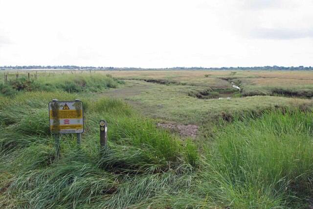
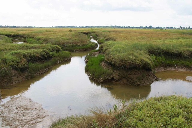
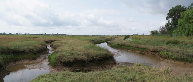
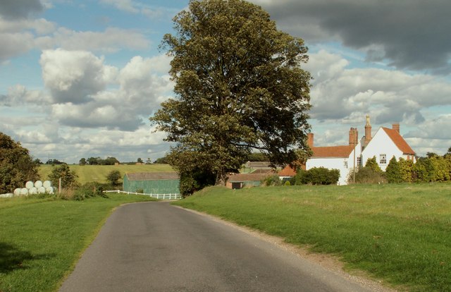
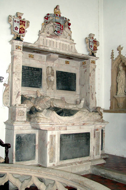
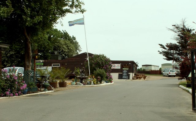
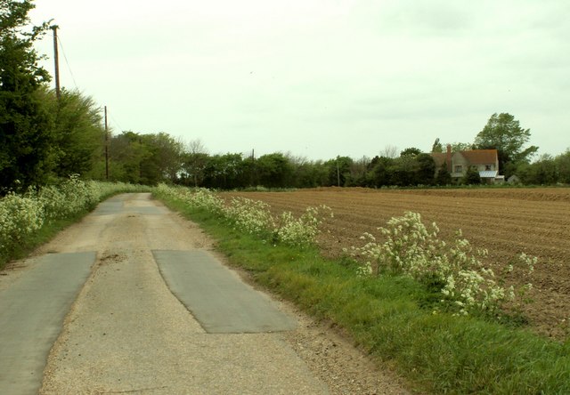
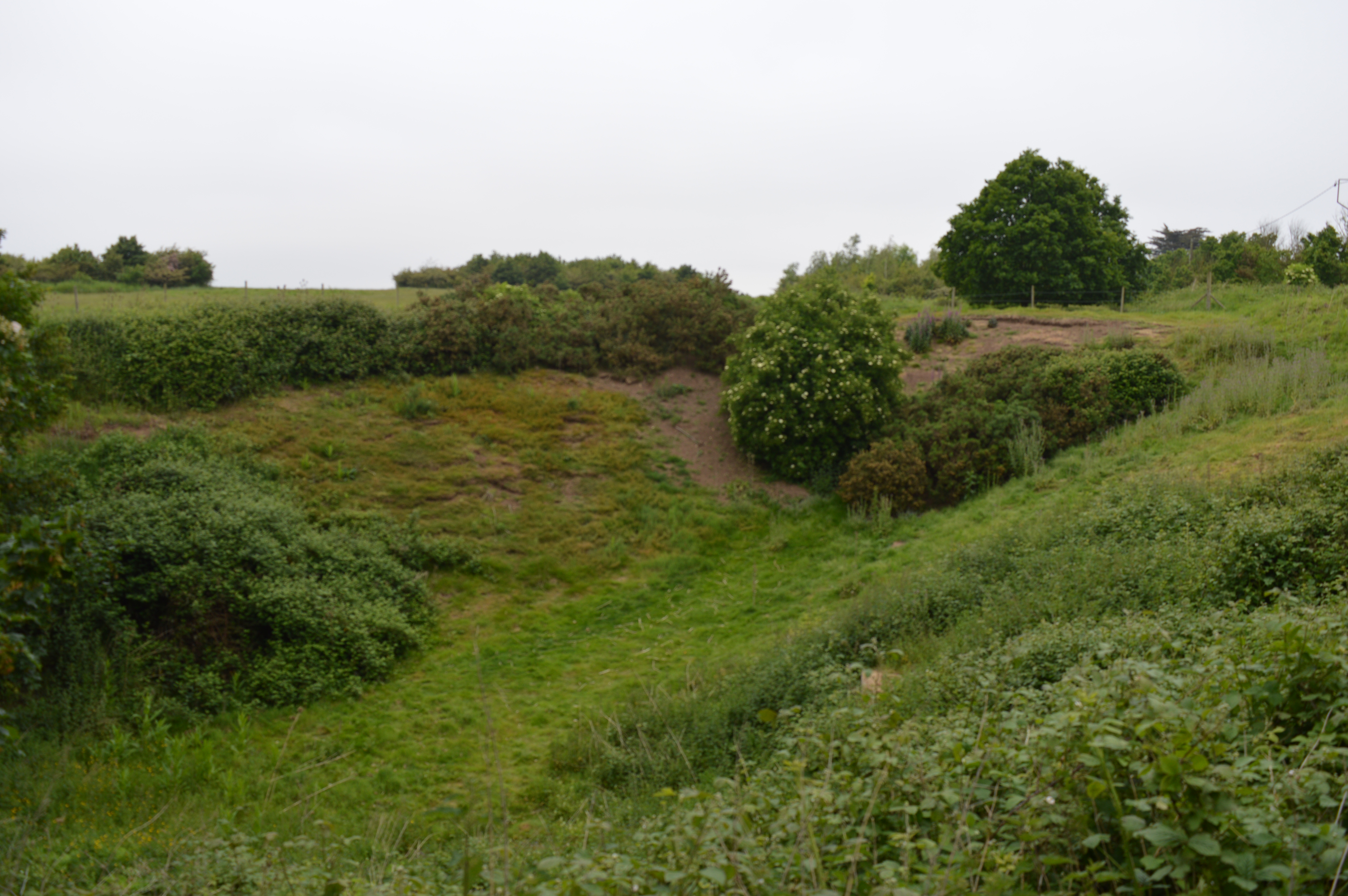
Breeches Pond Images
Images are sourced within 2km of 51.807902/1.0696765 or Grid Reference TM1116. Thanks to Geograph Open Source API. All images are credited.


Breeches Pond is located at Grid Ref: TM1116 (Lat: 51.807902, Lng: 1.0696765)
Administrative County: Essex
District: Tendring
Police Authority: Essex
What 3 Words
///screen.chromatic.soil. Near St Osyth, Essex
Nearby Locations
Related Wikis

Howlands Marsh
Howlands Marsh is a 29.9-hectare (74-acre) nature reserve north-east of St Osyth in Essex. It is managed by the Essex Wildlife Trust. It is part of the...
St Osyth Pit
St Osyth Pit is a 0.1-hectare (0.25-acre) geological Site of Special Scientific Interest north of St Osyth in Essex. It is a Geological Conservation Review...
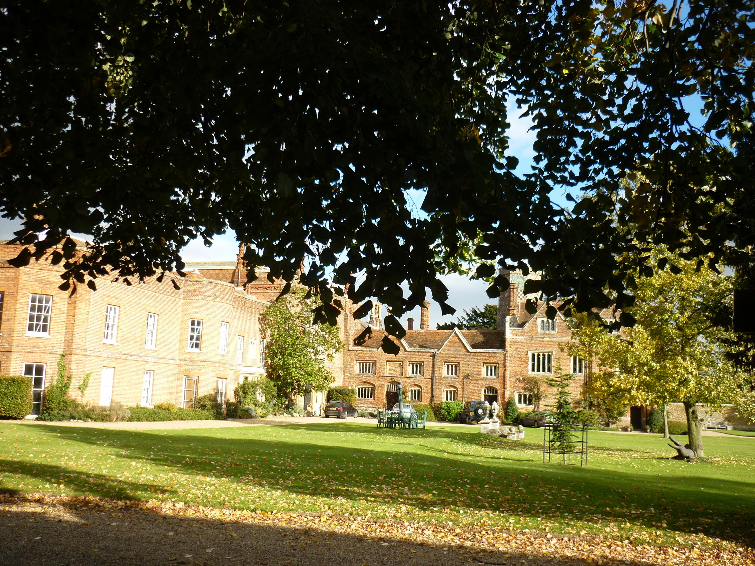
St Osyth's Priory
St Osyth's Abbey (originally and still commonly known as St Osyth's Priory) was a house of Augustinian canons in the parish of St Osyth (then named Chich...
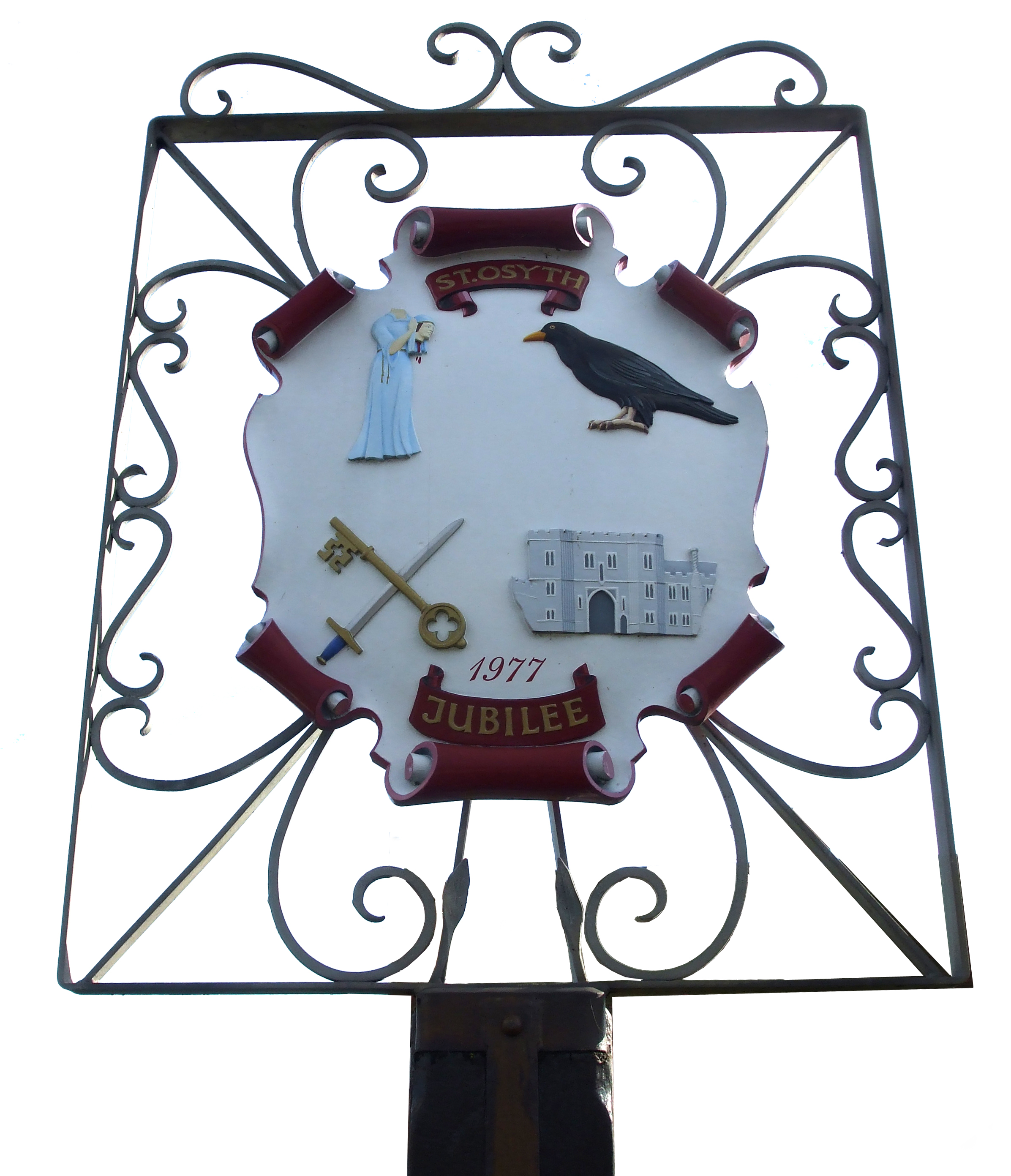
St Osyth
St Osyth is an English village and civil parish in the Tendring District of north-east Essex, about 5 miles (8.0 km) west of Clacton-on-Sea and 12 miles...
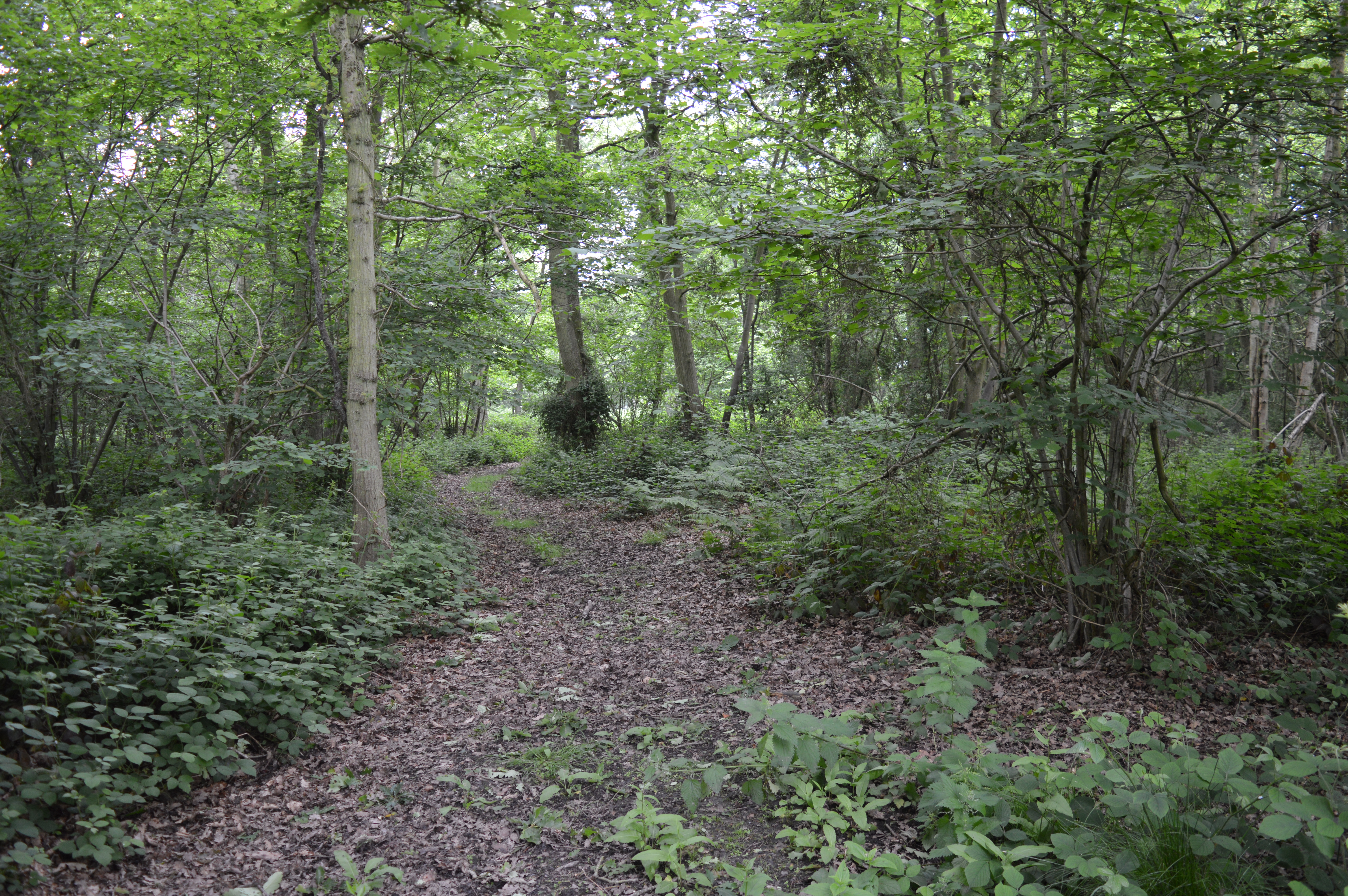
Riddles Wood
Riddles Wood is a 37.3-hectare (92-acre) biological Site of Special Scientific Interest between Brightlingsea and Clacton-on-Sea in Essex.The site has...

Cindery Island
Cindery Island is at the mouth of Brightlingsea Creek (off the town of Brightlingsea) on the east coast of England in the county of Essex. == External... ==

Point Clear
Point Clear is a village in the civil parish of St Osyth, south-west of the village of St Osyth and on the other side of St Osyth Creek, a branch of the...

Brightlingsea
Brightlingsea () is a coastal town and an electoral ward in the Tendring district of Essex, England. It is situated between Colchester and Clacton-on-Sea...
Related Videos

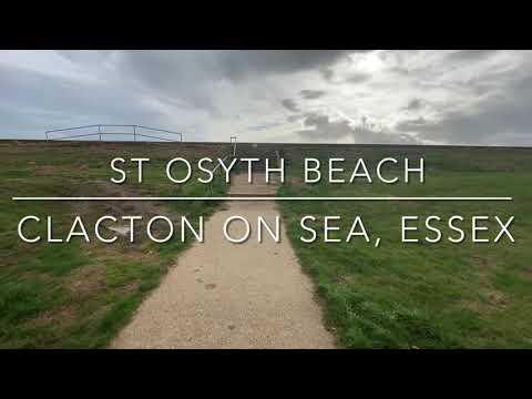
St Osyth Beach | Essex
St Osyth Beach contains Essex's largest concentration of static caravan parking, including Seawick, St Osyth Beach (owned by ...
St Osyth Beach - Essex Sunshine Coast
St Osyth Beach offers you many miles of sandy beaches. Grab the beach bag and dip your toes. St Osyth Beach Holiday Park is ...

Luxury caravan for hire at St Osyth holiday park
New to us! 8 berth luxury dog friendly caravan for hire at St Osyth holiday park in Essex. All Easter dates available including bank ...

Last minute break at St Osyth beach holiday park in Essex
Last minute offer at St Osyth holiday park in Essex. 8 berth caravan was £130 now £91 for 2 nights this weekend. Other dates ...
Nearby Amenities
Located within 500m of 51.807902,1.0696765Have you been to Breeches Pond?
Leave your review of Breeches Pond below (or comments, questions and feedback).