Bradick's Pond

Lake, Pool, Pond, Freshwater Marsh in Suffolk Babergh

England

Bradick's Pond

Parkland near Shelley Hall The trees hide a moated site.
Parkland near Shelley Hall Credit: Jonathan Thacker

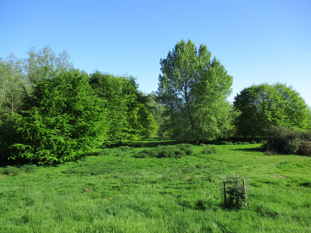
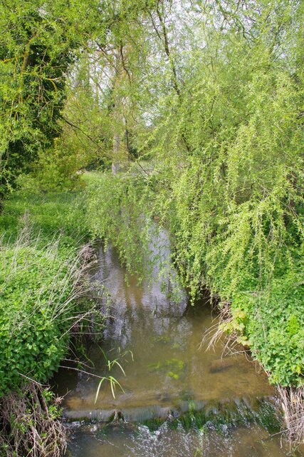
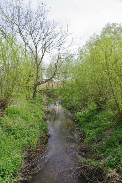
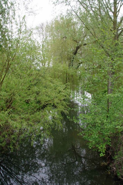
Bradick's Pond is a picturesque freshwater pond located in Suffolk, England. Nestled amidst a serene and verdant landscape, it serves as a popular destination for nature enthusiasts and locals alike. Spanning an area of approximately 5 acres, Bradick's Pond offers a tranquil and serene atmosphere, making it an ideal spot for relaxation and recreation.

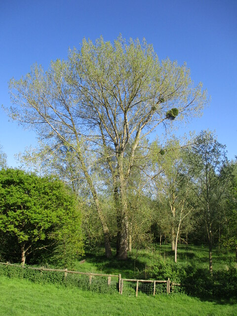
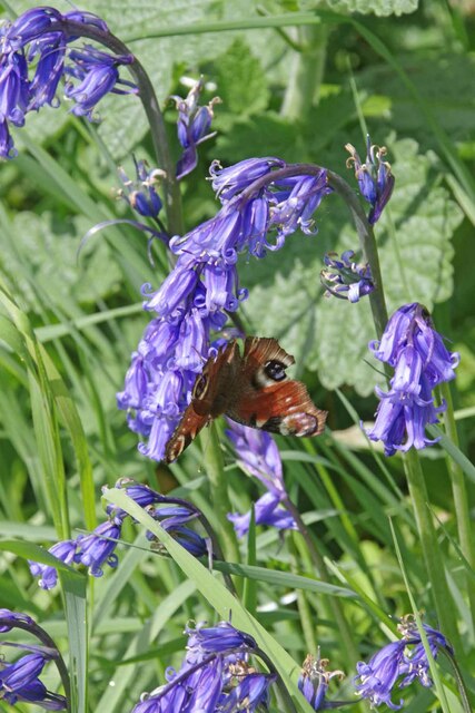
The pond is surrounded by lush vegetation, including reeds, rushes, and aquatic plants, which provide a habitat for a diverse range of wildlife. Visitors can spot various species of birds, including ducks, swans, and herons, gracefully gliding across the water or nesting in the surrounding trees. The pond is also home to a variety of fish, such as carp and roach, making it a haven for fishing enthusiasts.

The crystal-clear waters of Bradick's Pond are perfect for swimming during the warmer months, providing a refreshing escape from the summer heat. Additionally, the pond offers opportunities for boating and canoeing, allowing visitors to explore its scenic surroundings from a different perspective.

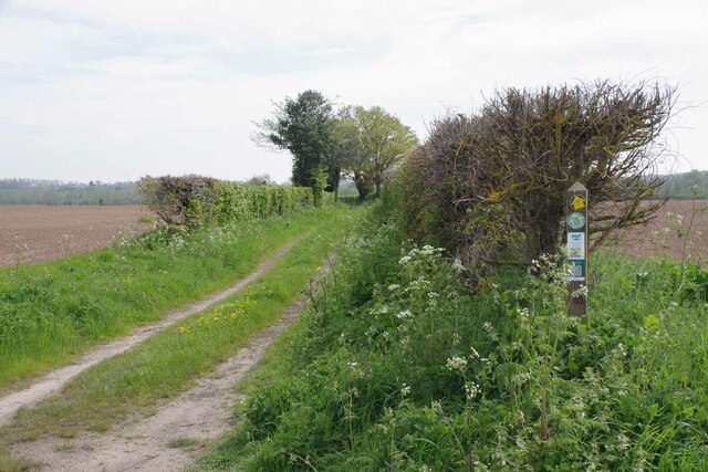
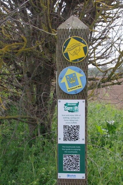
A well-maintained footpath encircles the pond, offering visitors a leisurely stroll or a jog while enjoying the serene ambiance. The path is also suitable for cycling, providing an added option for those seeking an active outdoor experience.

Bradick's Pond is easily accessible, with ample parking available nearby. It is a popular spot for picnics and family outings, with designated picnic areas and benches scattered along the shoreline. The pond's peaceful setting and abundant wildlife make it a haven for nature enthusiasts and a delightful destination for visitors of all ages.

If you have any feedback on the listing, please let us know in the comments section below.

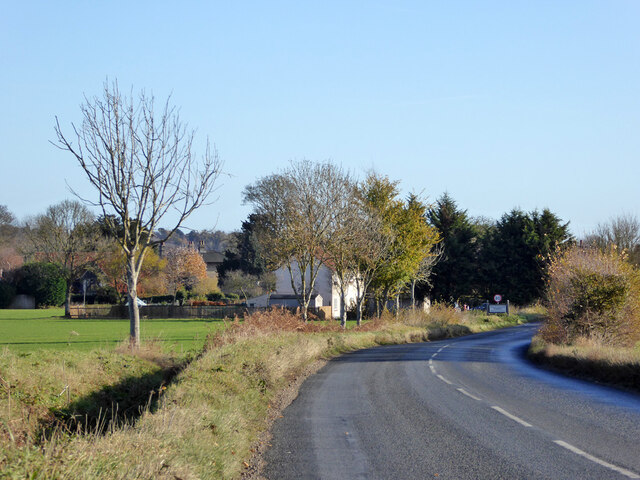
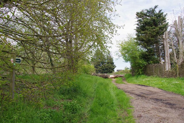
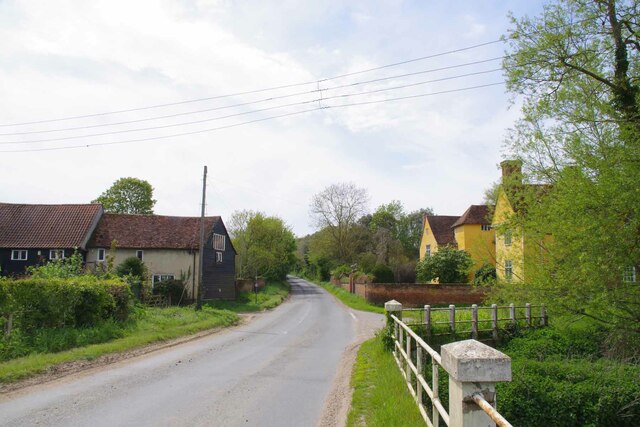
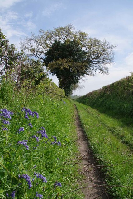
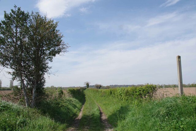
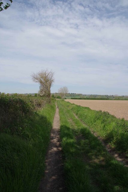
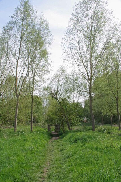
Bradick's Pond Images

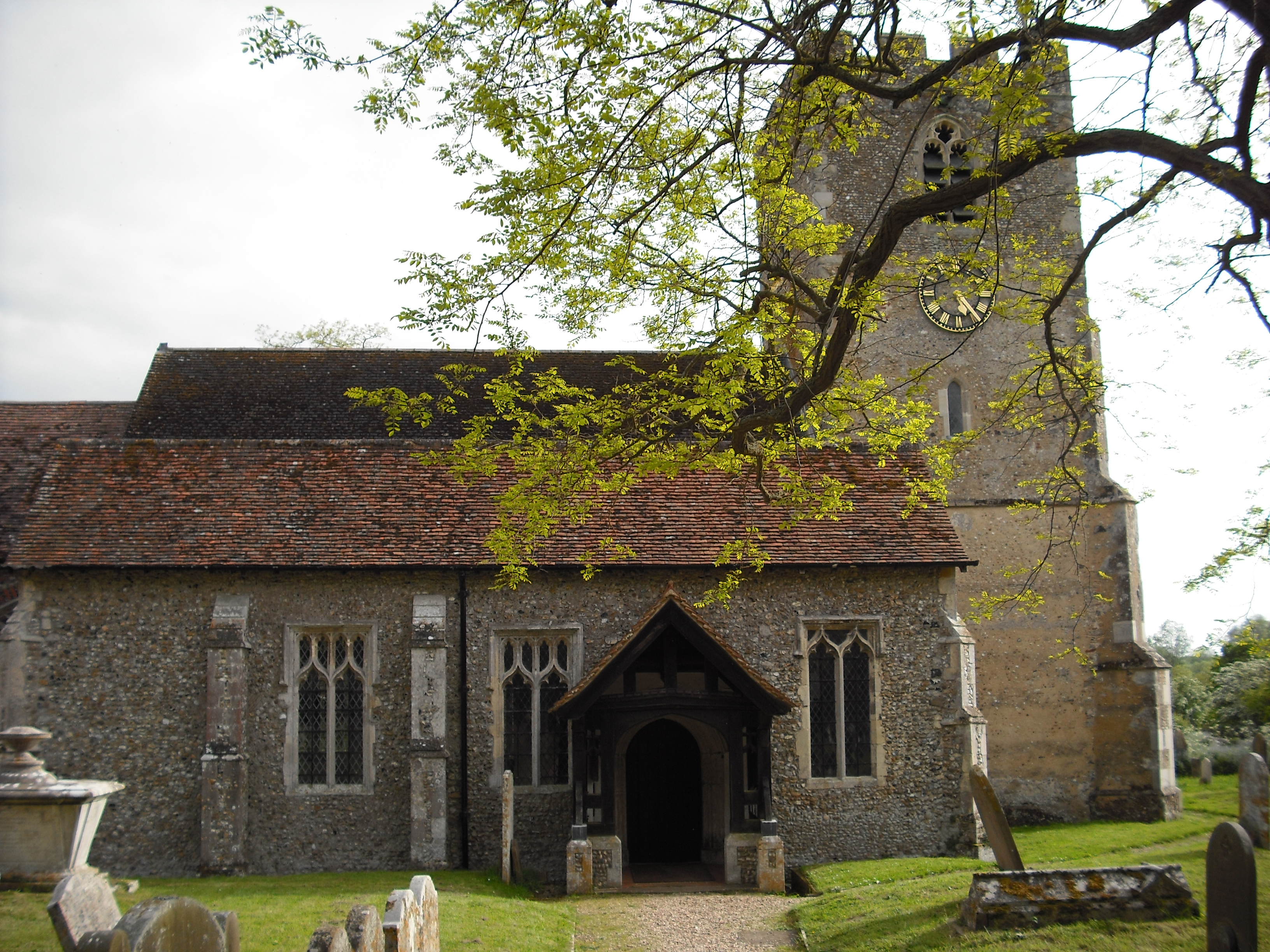
Images are sourced within 2km of 51.990302/0.94351603 or Grid Reference TM0236. Thanks to Geograph Open Source API. All images are credited.

Parkland near Shelley Hall The trees hide a moated site.
Parkland near Shelley Hall
The trees hide a moated site.
Tree with mistletoe, Shelley Mistletoe is uncommon in Eastern England. My casual observation suggests that most occurrences are in the grounds of country estates, which suggests it may have been deliberately introduced.
Tree with mistletoe, Shelley
Mistletoe is uncommon in Eastern England. My casual observation suggests that most occurrences are in the grounds of country estates, which suggests it may have been deliberately introduced.
Prepared field and Higham Hill
Becketts Lane near Layham
B1068 towards Thorington Street
Footpath at Wick Farm The footpath to Thorington Street. Vehicular access is blocked by heavy logs.
Footpath at Wick Farm
The footpath to Thorington Street. Vehicular access is blocked by heavy logs.
The Studio and Thorington Hall Should you wish you can stay at the National Trust property on the right see <span class="nowrap"><a title="https://www.nationaltrust.org.uk/holidays/suffolk/thorington-hall" rel="nofollow ugc noopener" href="https://www.nationaltrust.org.uk/holidays/suffolk/thorington-hall">Link</a><img style="margin-left:2px;" alt="External link" title="External link - shift click to open in new window" src="https://s1.geograph.org.uk/img/external.png" width="10" height="10"/></span>.
The Studio and Thorington Hall
Should you wish you can stay at the National Trust property on the right see LinkExternal link.
River Box in Thorington Street Looking upstream on this tributary to the River Stour.
River Box in Thorington Street
Looking upstream on this tributary to the River Stour.
Downstream on the River Box You can also see upstream at <a href="https://www.geograph.org.uk/photo/7476854">TM0135 : River Box in Thorington Street</a>.
Downstream on the River Box
You can also see upstream at TM0135 : River Box in Thorington Street.
Langham Mill Lane This is a route with unspecified public access. It is part of the St Edmund Way and Stour Valley Path see <a href="https://www.geograph.org.uk/photo/7476871">TM0135 : St Edmund & Stour Valley Waymarks</a>.
Langham Mill Lane
This is a route with unspecified public access. It is part of the St Edmund Way and Stour Valley Path see TM0135 : St Edmund & Stour Valley Waymarks.
St Edmund & Stour Valley Waymarks Showing the way on the long distance paths. The QR codes still work on geograph!
St Edmund & Stour Valley Waymarks
Showing the way on the long distance paths. The QR codes still work on geograph!
Peacock on Bluebells A rather aged looking Peacock on <a href="https://www.geograph.org.uk/photo/7476911">TM0235 : Langham Mill Lane</a> I am sure the bluebells were native <a href="https://www.geograph.org.uk/photo/422951">TM0722 : Hyacinthoides non-scripta</a>
Peacock on Bluebells
A rather aged looking Peacock on TM0235 : Langham Mill Lane I am sure the bluebells were native TM0722 : Hyacinthoides non-scripta
Langham Mill Lane The track has unspecified public access. See also <a href="https://www.geograph.org.uk/photo/7476895">TM0235 : Peacock on Bluebells</a>
Langham Mill Lane
The track has unspecified public access. See also TM0235 : Peacock on Bluebells
Stour Valley Path and St Edmund Way Looking back along Langham Mill Lane.
Stour Valley Path and St Edmund Way
Looking back along Langham Mill Lane.
St Edmund Way and Stour Valley Path Looking back along Langham Mill Lane
St Edmund Way and Stour Valley Path
Looking back along Langham Mill Lane
Footbridge over The River Box On Langham Mill Lane, shortly before the confluence with the River Stour.
Footbridge over The River Box
On Langham Mill Lane, shortly before the confluence with the River Stour.
Downstream on The River Box Shortly before the Confluence With the Stour.
Downstream on The River Box
Shortly before the Confluence With the Stour.
River Brett in Higham Looking Downstream.
River Brett in Higham
Looking Downstream.
Show me another place!

Bradick's Pond is located at Grid Ref: TM0236 (Lat: 51.990302, Lng: 0.94351603)

Administrative County: Suffolk

District: Babergh

Police Authority: Suffolk

What 3 Words

///resist.conquest.sideburns. Near Dedham, Essex

Nearby Locations

Bradick's Pond

Related Wikis

Giffords Hall, Stoke-by-Nayland

Giffords Hall (also called Gifford's Hall) is a Tudor manor house near Stoke-by-Nayland in Suffolk, England. It was described by Nikolaus Pevsner as “one...

Shelley, Suffolk

Shelley is a small village and civil parish in Suffolk, England. Located on the west bank of the River Brett around three miles south of Hadleigh, it is...

Withermarsh Green

Withermarsh Green is a village in the civil parish of Stoke-by-Nayland, in the Babergh district, in the county of Suffolk, England. It is located near...

Higham, Babergh

Higham is a village and civil parish in Suffolk, England. Located on the eastern bank of the River Brett (which defines the parish's western boundary)...

Nearby Amenities

Located within 500m of 51.990302,0.94351603
The data included in this document is from www.openstreetmap.org. The data is made available under ODbL.

Have you been to Bradick's Pond?

Leave your review of Bradick's Pond below (or comments, questions and feedback).