The Lake
Lake, Pool, Pond, Freshwater Marsh in Norfolk Breckland
England
The Lake

The Lake, Norfolk, is a picturesque body of water located in Norfolk County, England. Spanning over 150 acres, it is a popular destination for both locals and tourists seeking relaxation and outdoor recreation. The lake is nestled amidst lush greenery and offers a tranquil environment for visitors to enjoy.
The Lake is primarily fed by natural springs and rainfall, ensuring a constant flow of freshwater. The water is crystal clear, making it perfect for swimming, fishing, and boating activities. The lake's depth varies, with some areas being shallow enough for wading, while others provide ample depth for diving and snorkeling.
Surrounding the lake are numerous walking trails, allowing visitors to explore the natural beauty of the Norfolk countryside. The area is home to a diverse range of wildlife, including various bird species, fish, and small mammals. Birdwatchers will be delighted by the opportunity to spot herons, ducks, and swans, among other feathered creatures.
The Lake also features a freshwater marsh, which serves as a habitat for various aquatic plants and animals. This marshland provides a unique ecosystem and attracts a wide array of wildlife, making it a favorite spot for nature enthusiasts and photographers.
For those seeking a relaxing day by the water, The Lake offers well-maintained picnic areas and benches where visitors can sit, unwind, and enjoy the peaceful ambiance. The surrounding landscape provides ample shade, creating a perfect spot for a family outing or a romantic picnic.
Overall, The Lake, Norfolk, is a stunning natural attraction that offers a blend of recreational opportunities and beautiful scenery, making it a must-visit destination for nature lovers and outdoor enthusiasts.
If you have any feedback on the listing, please let us know in the comments section below.
The Lake Images
Images are sourced within 2km of 52.752624/0.93733047 or Grid Reference TF9821. Thanks to Geograph Open Source API. All images are credited.


The Lake is located at Grid Ref: TF9821 (Lat: 52.752624, Lng: 0.93733047)
Administrative County: Norfolk
District: Breckland
Police Authority: Norfolk
What 3 Words
///harshest.chicken.misty. Near North Elmham, Norfolk
Nearby Locations
Related Wikis

North Elmham
North Elmham is a village and civil parish in the English county of Norfolk. It covers an area of 7.41 sq mi (19.2 km2) and had a population of 1,428 in...
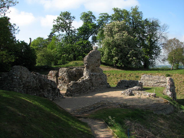
North Elmham Castle
North Elmham Castle, also known as North Elmham Bishops Castle and North Elmham Bishops Chapel, is a ruined castle in the village of North Elmham, in the...
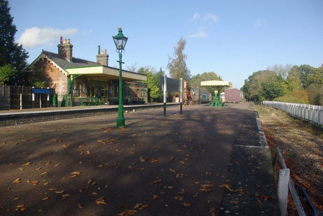
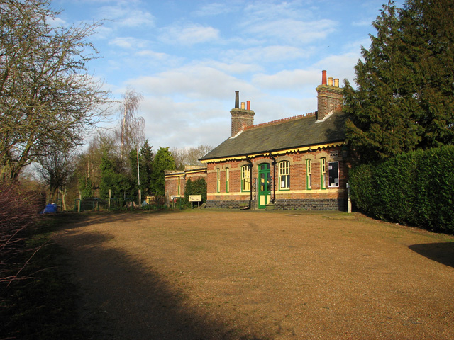
North Elmham railway station
North Elmham railway station is a railway station in the village of North Elmham in the English county of Norfolk. The station was part of the Wymondham...

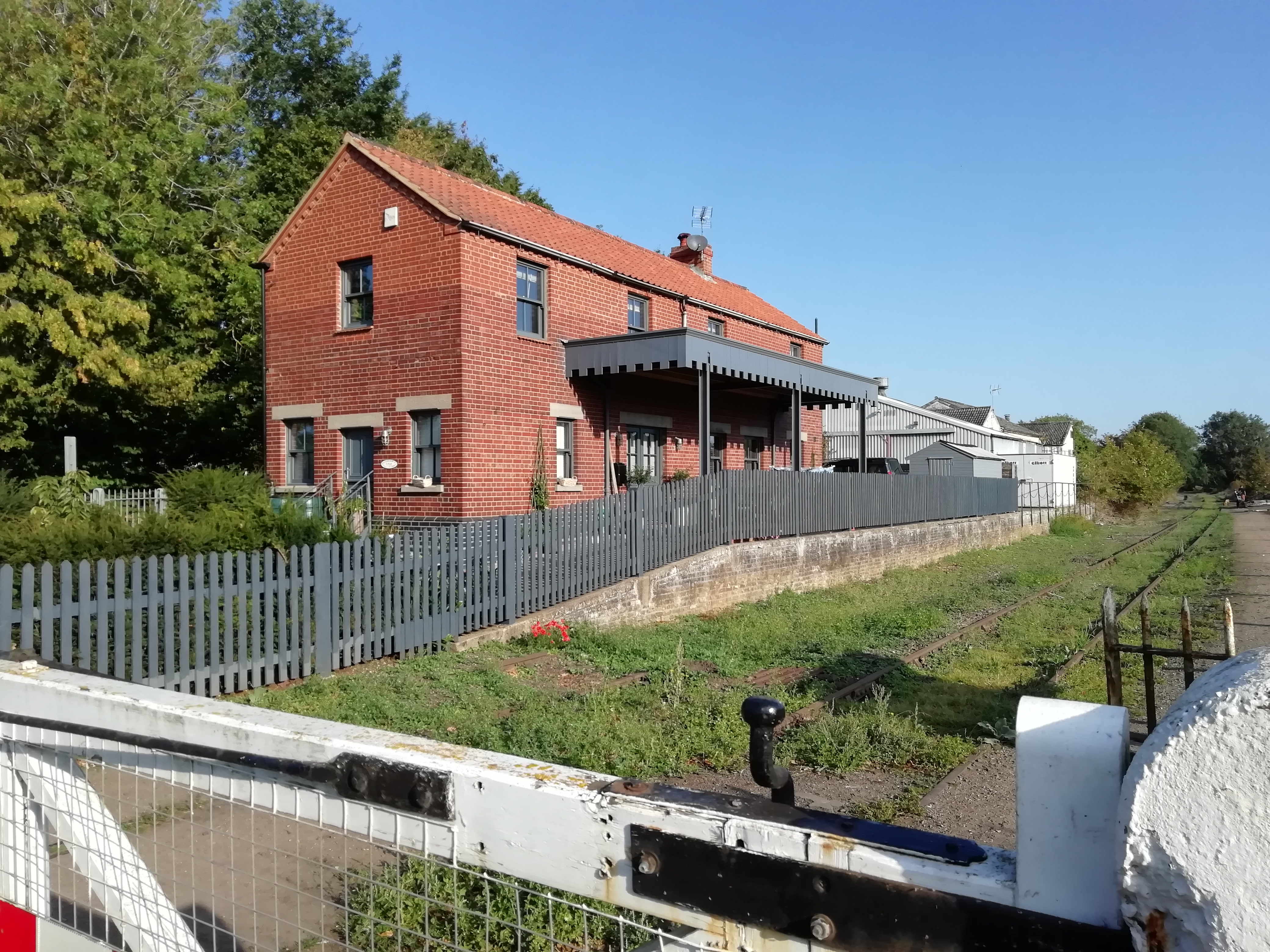
County School railway station
County School railway station is on the Mid-Norfolk Railway in Norfolk, England; it will serve the villages of North Elmham and Guist once services resume...

Fakenham and Dereham Railway Society
The Fakenham and Dereham Railway Society (F&DRS) was a heritage railway society in the English county of Norfolk. For a short period of time it operated...

Spong Hill
Spong Hill is an Anglo-Saxon cemetery site located south of North Elmham in Norfolk, England. It is the largest known Early Anglo-Saxon cremation site...
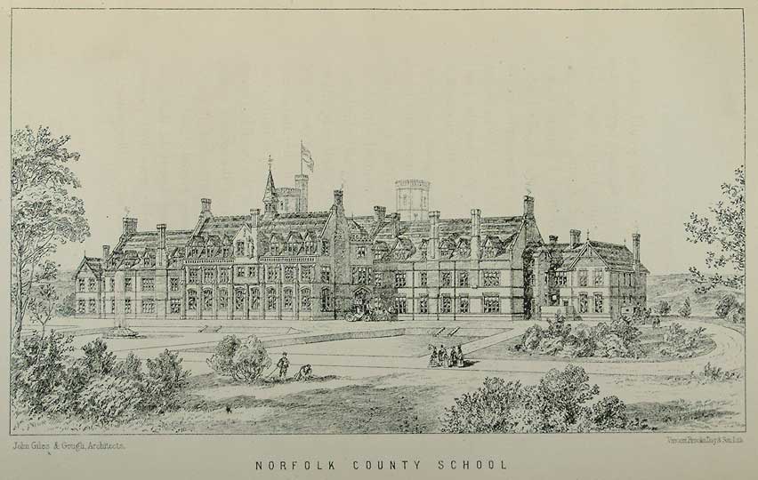
Watts Naval School
Watts Naval School was originally the Norfolk County School, a boarding school set up to serve the educational needs of the 'sons of farmers and artisans...

Worthing, Norfolk
Worthing is a small village and former civil parish, now in the parish of Hoe and Worthing, in the Breckland district, in the county of Norfolk, England...
Nearby Amenities
Located within 500m of 52.752624,0.93733047Have you been to The Lake?
Leave your review of The Lake below (or comments, questions and feedback).