The Moat
Lake, Pool, Pond, Freshwater Marsh in Kent Swale
England
The Moat

The Moat in Kent is a freshwater marsh located in the southeastern region of England. It is a unique ecological feature that serves as both a lake and a pond, surrounded by lush greenery and vegetation. The Moat spans an area of approximately 10 acres, making it a significant water body in the area.
The water in The Moat is sourced from rainfall, underground springs, and small streams that flow into it. It is characterized by its calm and still surface, as it is sheltered from strong winds by the surrounding trees and shrubs. The water is clear and fresh, providing a suitable habitat for various aquatic plants and animals.
The Moat is home to a diverse range of plant species, including water lilies, reeds, and rushes, which thrive in the marshy environment. These plants provide shelter and food for numerous bird species, such as ducks, swans, and herons, making it a popular spot for birdwatching enthusiasts.
The marshy edges of The Moat are also home to a variety of insects, amphibians, and small mammals, which contribute to the overall biodiversity of the area. Visitors can often spot dragonflies, frogs, and even water voles along the banks.
The Moat is a haven for nature lovers and provides a tranquil setting for recreational activities such as fishing, boating, and picnicking. Its picturesque surroundings and abundant wildlife make it a popular destination for both locals and tourists seeking a peaceful retreat in nature.
If you have any feedback on the listing, please let us know in the comments section below.
The Moat Images
Images are sourced within 2km of 51.442195/0.75650037 or Grid Reference TQ9175. Thanks to Geograph Open Source API. All images are credited.


The Moat is located at Grid Ref: TQ9175 (Lat: 51.442195, Lng: 0.75650037)
Administrative County: Kent
District: Swale
Police Authority: Kent
What 3 Words
///qualifier.massaging.putter. Near Sheerness, Kent
Related Wikis

Sheerness-on-Sea railway station
Sheerness-on-Sea railway station is on the Sheerness Line in north Kent, England, and serves the town of Sheerness. It is 51 miles 19 chains (82.5 km)...
Sheerness Dockyard
Sheerness Dockyard was a Royal Navy Dockyard located on the Sheerness peninsula, at the mouth of the River Medway in Kent. It was opened in the 1660s and...

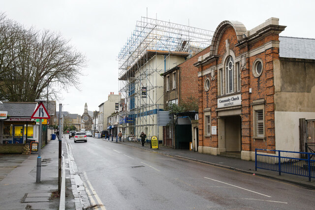
Sheerness
Sheerness () is a port town and civil parish beside the mouth of the River Medway on the north-west corner of the Isle of Sheppey in north Kent, England...
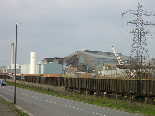
Sheerness Steelworks
Sheerness Steelworks was a steel plant located at Sheerness, on the Isle of Sheppey, in Kent, England. The plant opened in 1971 and produced steel via...
Blue Town
Blue Town is a suburb of the town of Sheerness on the Isle of Sheppey in Kent. It sits on the A249 Brielle Way which runs from Queenborough to Sheerness...

Sheppey FM 92.2
Sheppey FM 92.2 is an English community radio station and training centre on the Isle of Sheppey in Kent. == History == The station began as an internet...
Great Mill, Sheerness
Great Mill or Ride's Mill is a Grade II listed smock mill just off the High Street in Sheerness, Kent, England, that was demolished in 1924, leaving the...

Sheerness Dockyard railway station
Sheerness Dockyard railway station was the original terminus of the Sheerness line. It was built by the Sittingbourne & Sheerness Railway and opened in...
Nearby Amenities
Located within 500m of 51.442195,0.75650037Have you been to The Moat?
Leave your review of The Moat below (or comments, questions and feedback).