Mill Stream
Lake, Pool, Pond, Freshwater Marsh in Essex Braintree
England
Mill Stream
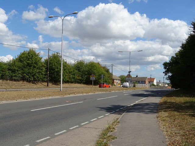
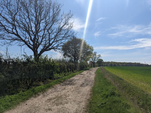
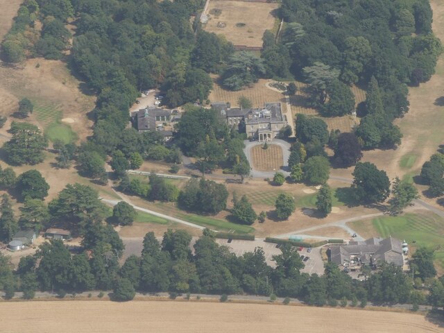
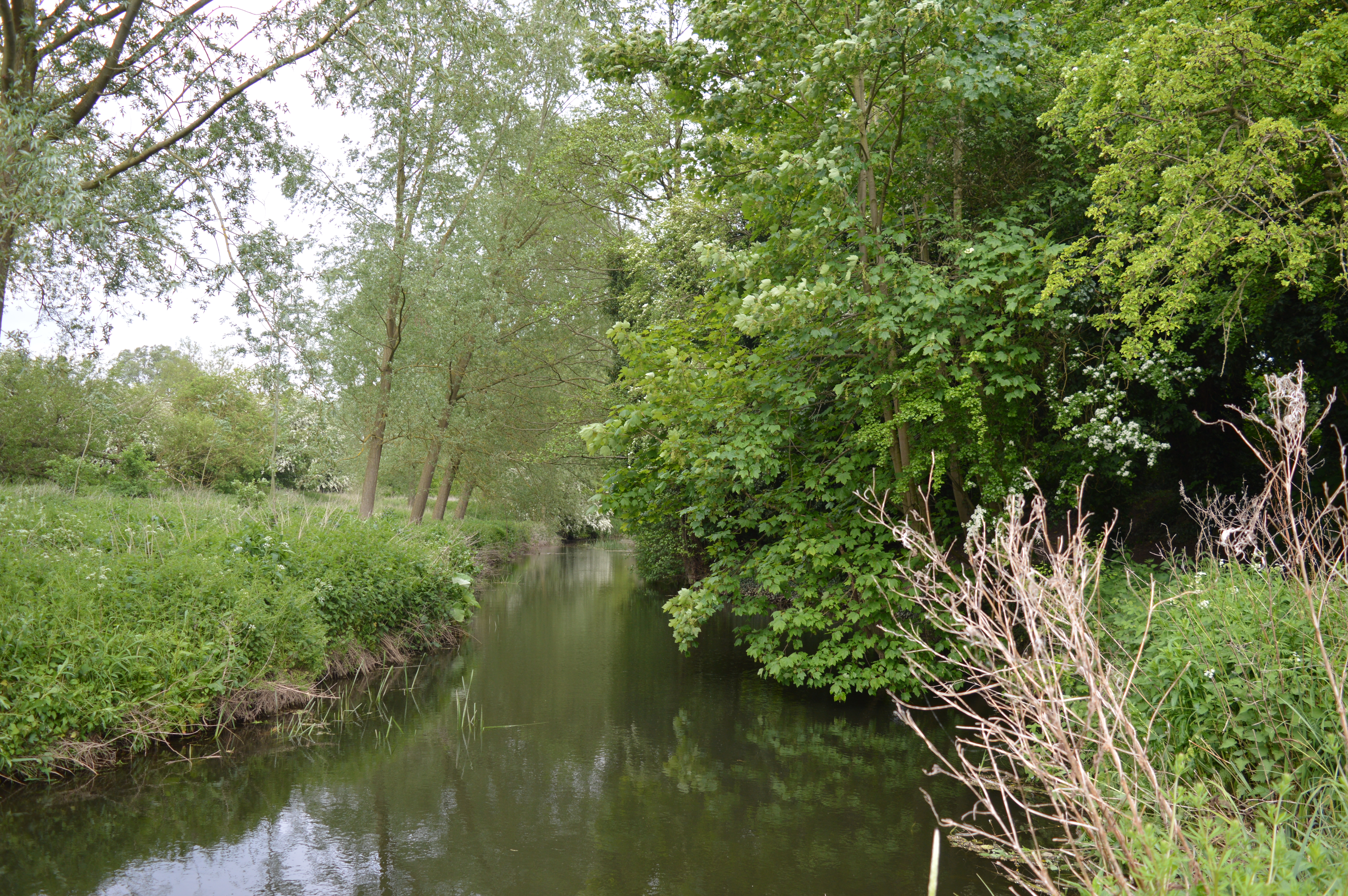
Mill Stream is a picturesque freshwater marsh located in Essex, England. Spanning across a vast area, it encompasses a beautiful combination of a lake, pool, pond, and marshland. The stream itself is surrounded by lush vegetation, creating a serene and tranquil atmosphere.
The lake, with its calm and clear waters, is a prominent feature of Mill Stream. It serves as a habitat for a diverse range of aquatic plants and animals, including various species of fish, birds, and amphibians. The pool, slightly smaller in size, offers a more secluded and intimate setting, ideal for those seeking solitude and relaxation.
A pond can also be found within Mill Stream, adding to its charm and allure. This smaller body of water is home to a variety of plant life, such as water lilies and cattails. It serves as a breeding ground for many aquatic creatures and acts as a vital ecosystem within the overall marshland.
The freshwater marsh surrounding the various bodies of water is a haven for wildlife. It is teeming with an abundance of plant species, including reeds, sedges, and rushes. This marshland provides a crucial habitat for numerous bird species, such as herons, egrets, and ducks, who nest and forage within its rich vegetation.
Mill Stream, with its diverse range of water features and thriving ecosystem, is a popular destination for nature enthusiasts and photographers. Visitors can enjoy leisurely walks along the stream's banks, observing the fascinating flora and fauna that call this marshland home. It is a true haven of natural beauty and a testament to the importance of preserving and protecting our wetland habitats.
If you have any feedback on the listing, please let us know in the comments section below.
Mill Stream Images
Images are sourced within 2km of 51.891044/0.60069911 or Grid Reference TL7924. Thanks to Geograph Open Source API. All images are credited.


Mill Stream is located at Grid Ref: TL7924 (Lat: 51.891044, Lng: 0.60069911)
Administrative County: Essex
District: Braintree
Police Authority: Essex
What 3 Words
///rots.sleeps.poems. Near Rayne, Essex
Nearby Locations
Related Wikis
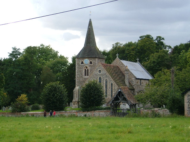
Stisted
Stisted is a civil parish, Church of England parish, and former manor near Braintree, Essex, England. Andrew Motion, a former Poet Laureate, was raised...

Tumbler's Green
Tumbler's Green is a hamlet near the towns of Halstead and Braintree in the Braintree district, in the English county of Essex. Other nearby settlements...

Bradwell Juxta Coggeshall
Bradwell or Bradwell Juxta Coggeshall is a village and civil parish in Essex, England. It is located on the River Blackwater, approximately 5 km (3.1...
Bocking Blackwater
Bocking Blackwater is a 13.1 hectare Local Nature Reserve in Braintree in Essex. It is owned and managed by Braintree District Council. In 2016 the council...
Cressing Road
Cressing Road, also known as the Rare Breed Meat Co. Stadium for sponsorship purposes, is a football stadium in Braintree, Essex, and the home ground of...
Alec Hunter Academy
Alec Hunter Academy (formerly The Alec Hunter County Secondary School for Boys and Girls, Alec Hunter Comprehensive School, Alec Hunter High School and...

Chapel of the Immaculate Conception, Franciscan Convent
The Chapel of the Immaculate Conception, Franciscan Convent is a Roman Catholic chapel run by the Missionary Franciscan Sisters in Bocking, Essex, England...

High Garrett
High Garrett is a hamlet on the A131 road near the town of Braintree, Essex, England. In 2018 the settlement had an estimated population of 814. ��2�...
Nearby Amenities
Located within 500m of 51.891044,0.60069911Have you been to Mill Stream?
Leave your review of Mill Stream below (or comments, questions and feedback).