Mill Waters
Lake, Pool, Pond, Freshwater Marsh in Norfolk King's Lynn and West Norfolk
England
Mill Waters
Mill Waters is a picturesque freshwater ecosystem located in Norfolk, England. As the name suggests, it consists of a combination of lakes, pools, ponds, and freshwater marshes, creating a diverse and thriving habitat for a wide range of plant and animal species.
The centerpiece of Mill Waters is its expansive lake, which stretches across a significant portion of the area. The lake is home to various aquatic plants, such as water lilies and reeds, which provide shelter and food for numerous species of fish, amphibians, and waterfowl.
Surrounding the lake are smaller pools and ponds, each with its own distinct characteristics. These smaller bodies of water serve as breeding grounds for different types of amphibians, including frogs and newts. They also attract a variety of bird species, which use the water as a source of hydration and foraging.
Connected to the lake and pools is a sprawling freshwater marsh, characterized by its lush vegetation and shallow water. This marshland provides a crucial habitat for numerous plant species, such as cattails and sedges, as well as a haven for diverse bird populations, including herons and ducks.
The Mill Waters area is carefully managed to preserve its natural beauty and ecological balance. It offers a tranquil setting for visitors to observe and appreciate the rich biodiversity that thrives within its waters and wetlands. Whether it's birdwatching, fishing, or simply enjoying the peaceful surroundings, Mill Waters is a haven for nature enthusiasts seeking a respite from the hustle and bustle of everyday life.
If you have any feedback on the listing, please let us know in the comments section below.
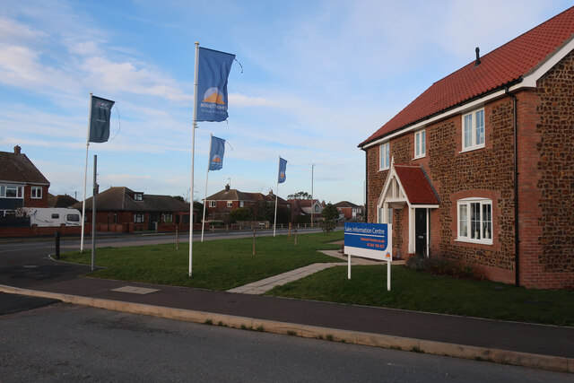
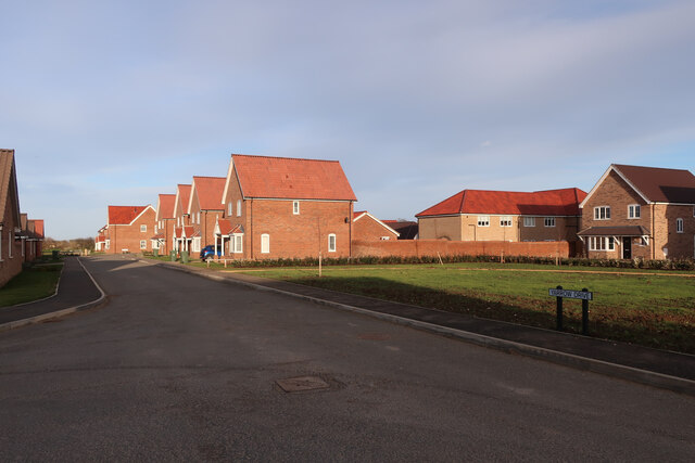
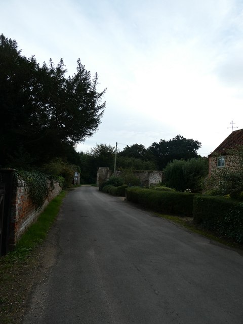
Mill Waters Images
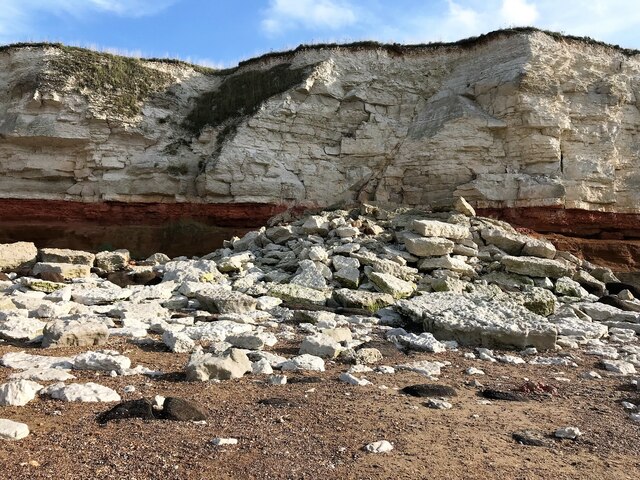
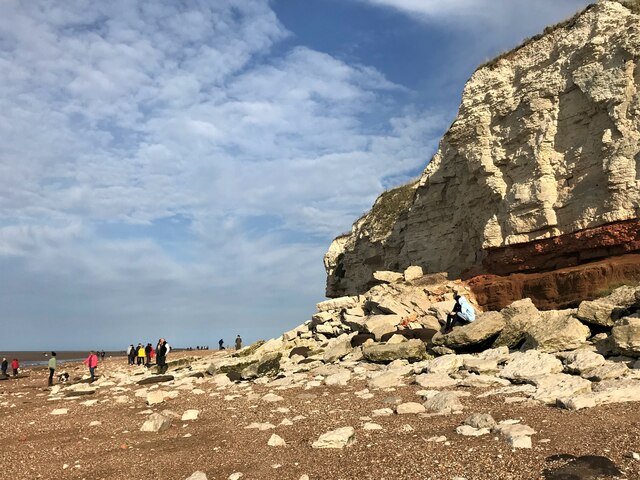
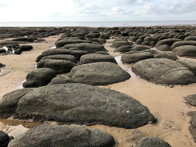
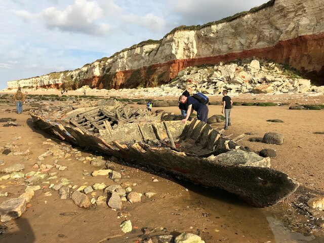
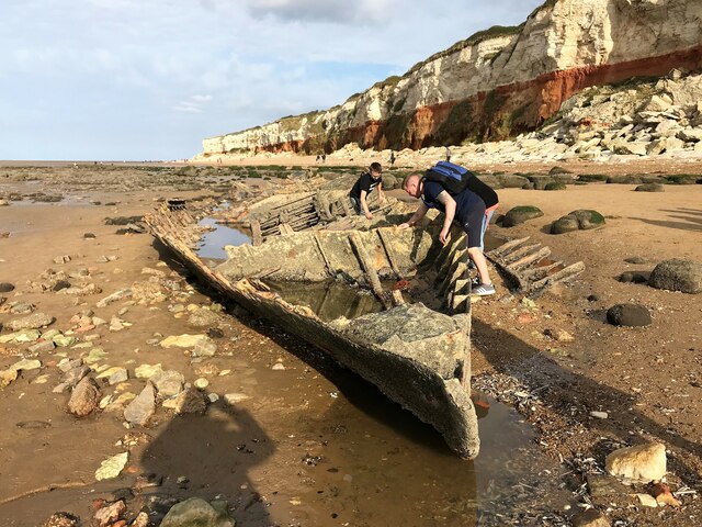
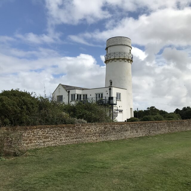
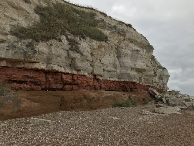
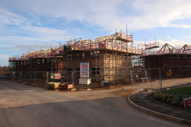
Images are sourced within 2km of 52.948677/0.51516302 or Grid Reference TF6941. Thanks to Geograph Open Source API. All images are credited.


Mill Waters is located at Grid Ref: TF6941 (Lat: 52.948677, Lng: 0.51516302)
Administrative County: Norfolk
District: King's Lynn and West Norfolk
Police Authority: Norfolk
What 3 Words
///late.regaining.tribe. Near Hunstanton, Norfolk
Nearby Locations
Related Wikis
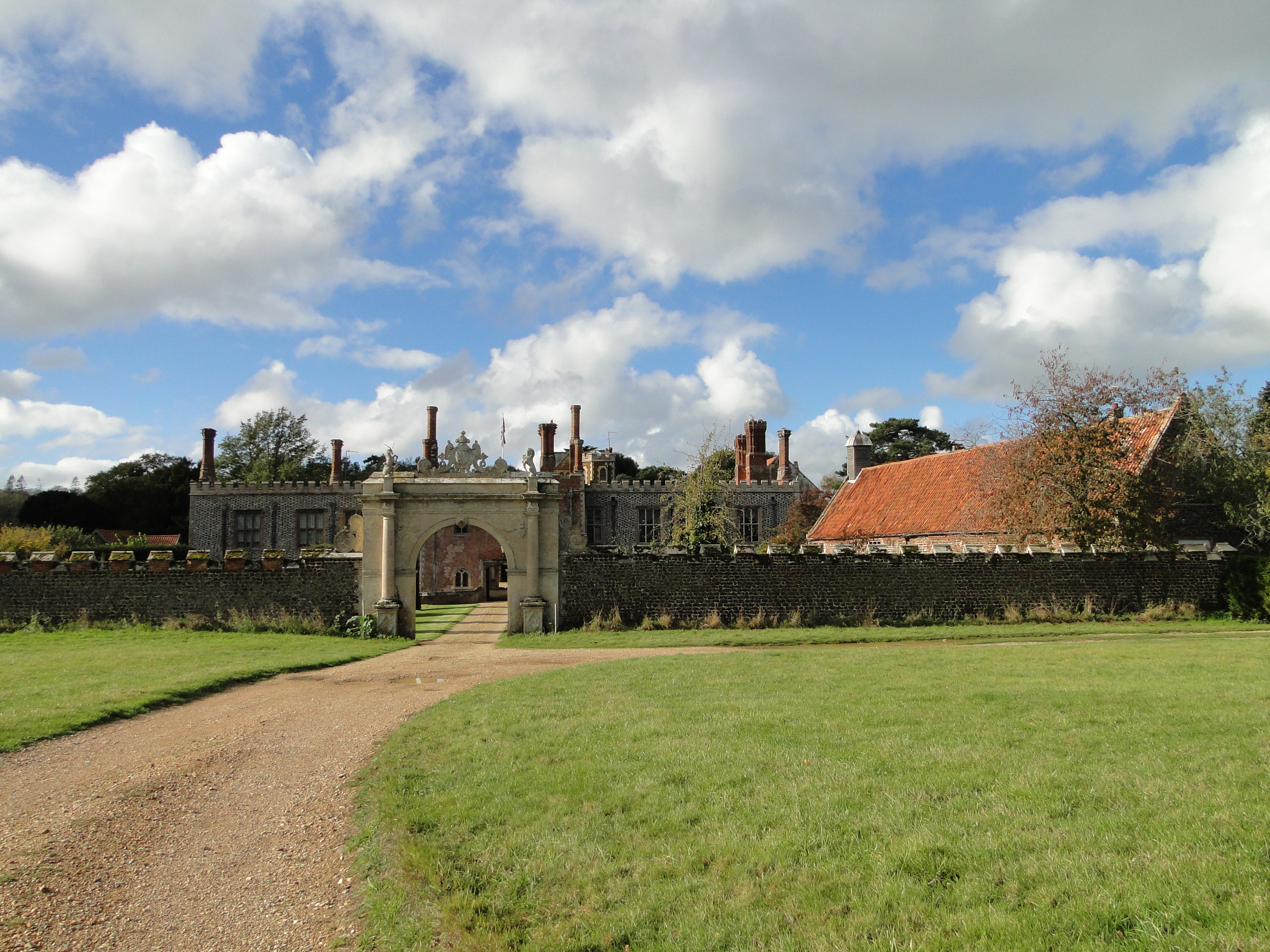
Hunstanton Hall
Hunstanton Hall, Old Hunstanton, Norfolk, England is a country house dating originally from the 15th century. The gatehouse, now detached from the main...

Hunstanton Golf Club
Hunstanton Golf Club is an 18-hole members golf club in Norfolk, England which has hosted many of the leading amateur golf tournaments in Britain including...
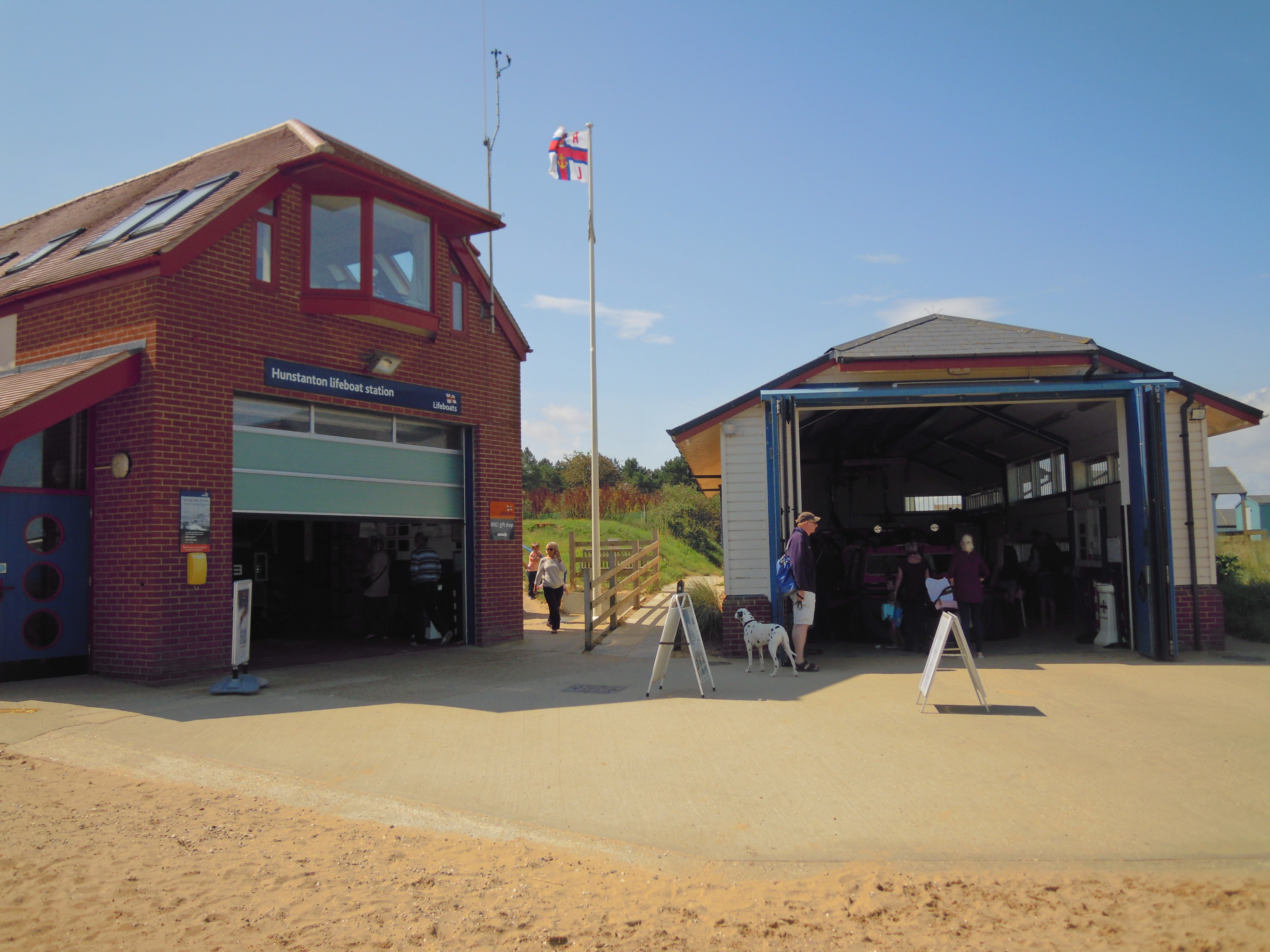
Hunstanton Lifeboat Station
Hunstanton Lifeboat Station is a Royal National Lifeboat Institution operated lifeboat station located in the village of Old Hunstanton in the English...
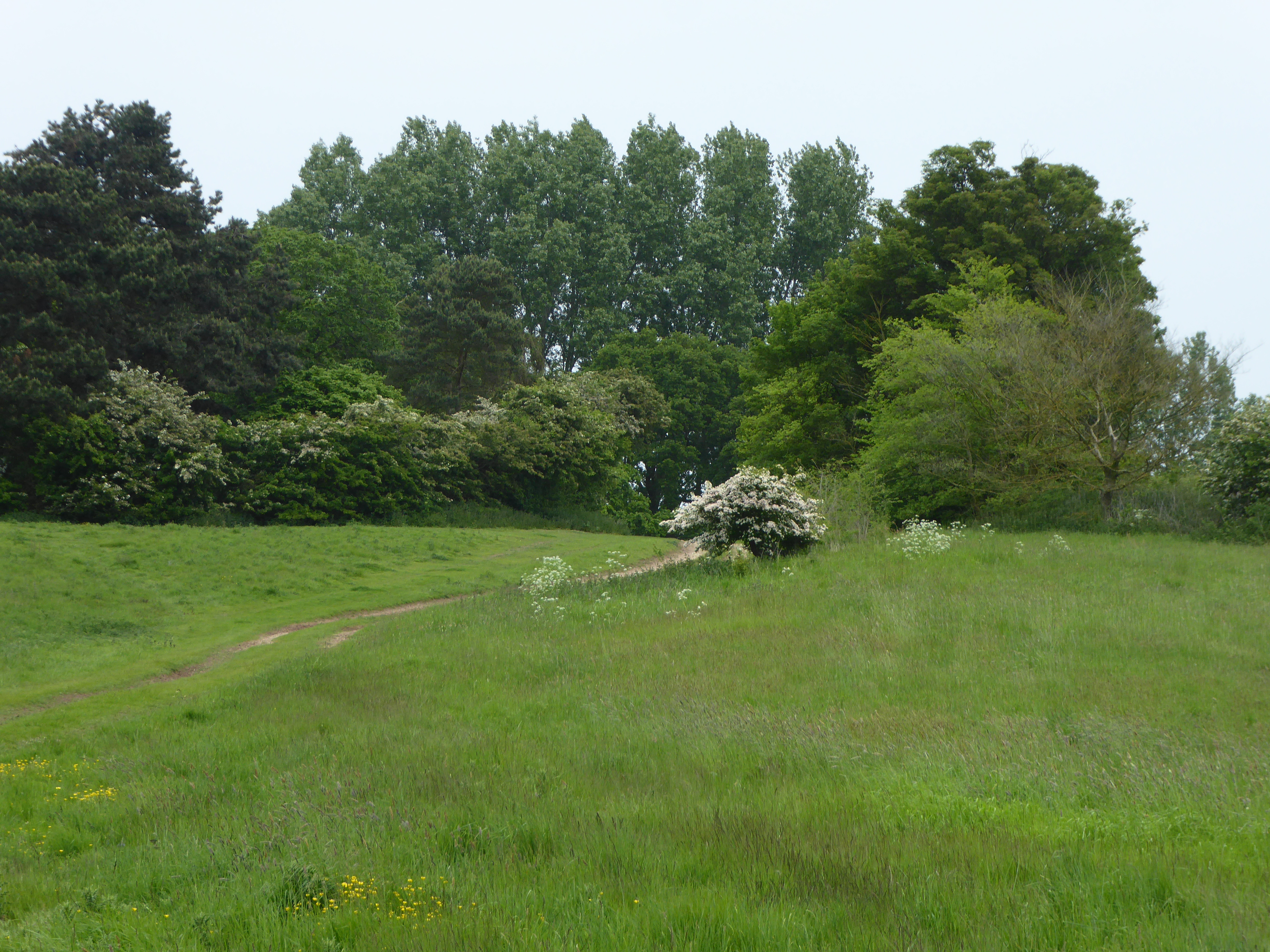
Hunstanton Park Esker
Hunstanton Park Esker is a 17.3-hectare (43-acre) geological Site of Special Scientific Interest east of Hunstanton in Norfolk. The esker extends 1.5 km...
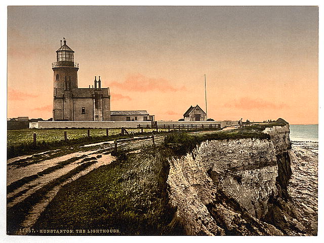
Old Hunstanton Lighthouse
Old Hunstanton Lighthouse is a former lighthouse located in Old Hunstanton in the English county of Norfolk, generally called Hunstanton Lighthouse (or...

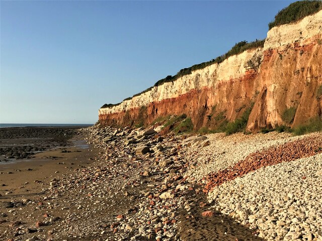
Hunstanton Cliffs
Hunstanton Cliffs is a 4.6-hectare (11-acre) biological and geological Site of Special Scientific Interest in Hunstanton in Norfolk. It is a Geological...
Paul Nicholas School of Acting & Performing Arts
The Paul Nicholas School of Acting & Performing Arts was a franchise of stage and performance schools created by actor and singer Paul Nicholas for young...
Smithdon High School
Smithdon High School (formerly known as Hunstanton Secondary Modern School and Hunstanton School) is a small comprehensive school (ages 11–16) academy...
Related Videos

【4K】HUNSTANTON WALKING TOUR NORFOLK AKA SUNNY HUNNY
Hunstanton, a picturesque coastal town in Norfolk, England, is a captivating destination that offers a delightful blend of natural ...
HUNSTANTON | Full seafront tour of Hunstanton Norfolk
Hunstanton is a holiday seaside town located in the county of Norfolk, England. is known for its beautiful beach, amusements and ...
Should YOU Visit Hunstanton? - Seafront & Town Tour
Join me as we take a walking tour in Hunstanton, Norfolk or as know to many as Sunny Hunny We check out the Seafront, Britain's ...
Visit the stunning seaside town of Hunstanton in Norfolk for a scenic holiday experience!
Visit the stunning seaside town of Hunstanton in Norfolk for a scenic holiday experience! With its miles of sandy beaches, ...
Nearby Amenities
Located within 500m of 52.948677,0.51516302Have you been to Mill Waters?
Leave your review of Mill Waters below (or comments, questions and feedback).