Tod's Lake

Lake, Pool, Pond, Freshwater Marsh in Sussex Rother

England

Tod's Lake

Burwash Village Burwash is a small village with one road and a Norman Church surrounded by lovely countryside.The sign depicts the old iron industry of the area
Burwash Village Credit: Janet Richardson

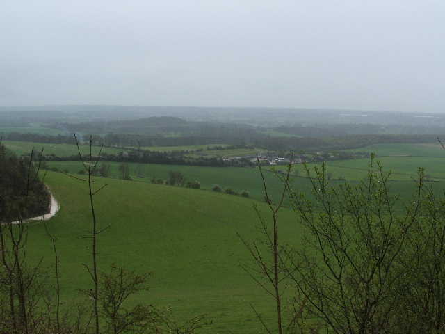
Tod's Lake, located in Sussex, is a picturesque body of water that can be classified as a lake, pool, pond, and freshwater marsh. Spanning approximately 10 acres, this natural water feature is nestled within a lush and diverse landscape.

Tod's Lake is renowned for its crystal-clear waters, which are sourced from natural springs and rainfall. The lake's composition primarily consists of freshwater, making it an ideal habitat for various aquatic organisms and plants. Due to its relatively small size, Tod's Lake maintains a tranquil and intimate atmosphere, attracting visitors seeking solace and a connection with nature.

Surrounded by verdant vegetation, including reeds, grasses, and water lilies, Tod's Lake serves as a thriving ecosystem for a wide range of flora and fauna. The lake's edges are often adorned with colorful wildflowers, enhancing its aesthetic appeal and attracting numerous bird species, butterflies, and other insects.

Visitors to Tod's Lake can enjoy a multitude of recreational activities. Fishing enthusiasts can cast their lines in hopes of catching species such as perch, roach, and pike. Canoeing and kayaking are also popular, allowing visitors to explore the lake's calm waters and observe its abundant wildlife.

Furthermore, Tod's Lake offers a tranquil setting for leisurely walks and picnics. A network of footpaths meanders around the lake, providing opportunities for visitors to immerse themselves in the surrounding natural beauty.

Overall, Tod's Lake in Sussex is a captivating and serene water feature that offers a diverse range of experiences for nature enthusiasts and those seeking a peaceful retreat.

If you have any feedback on the listing, please let us know in the comments section below.
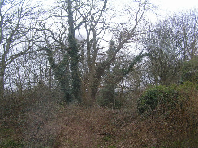
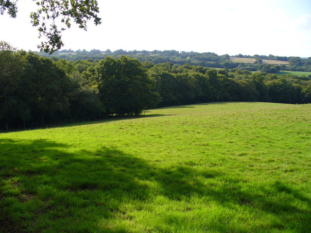
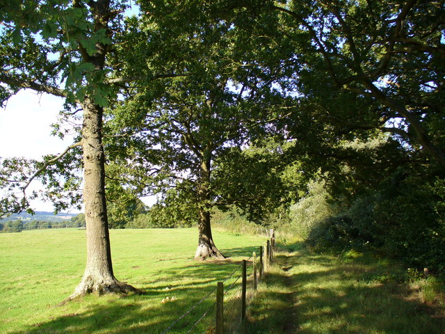
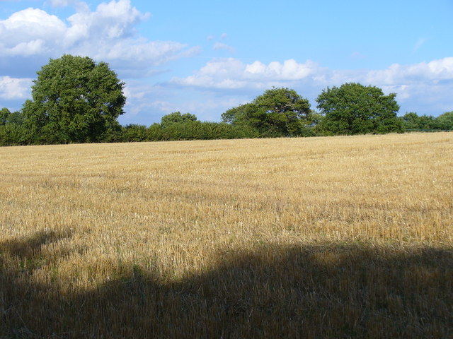
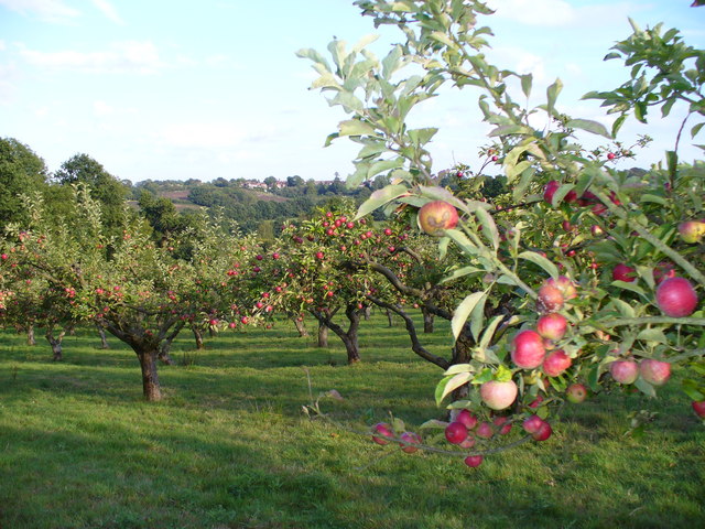
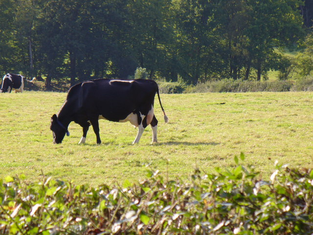
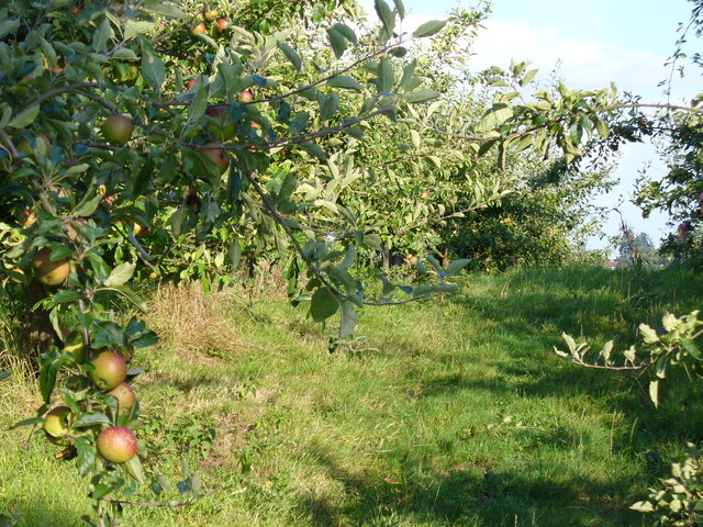
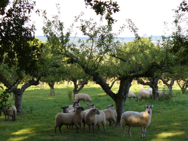
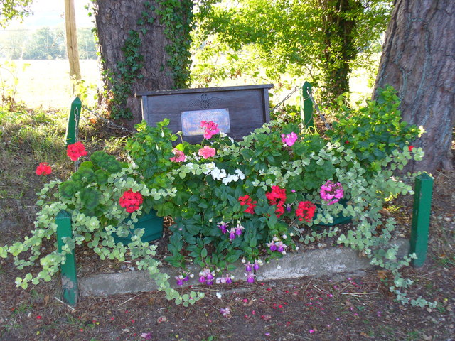
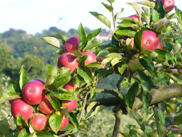
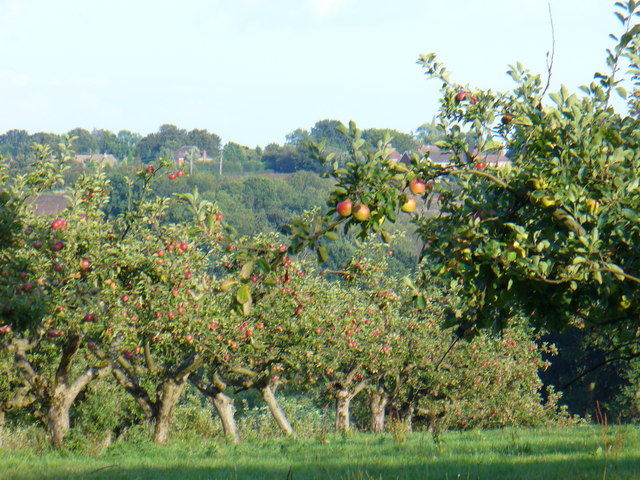
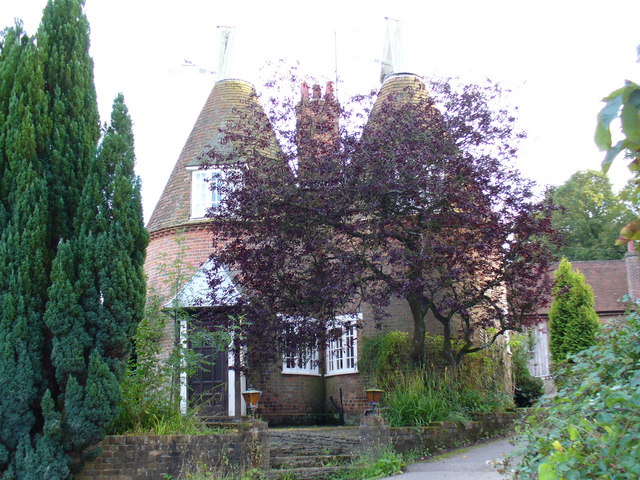
Tod's Lake Images

Images are sourced within 2km of 51.008447/0.36778716 or Grid Reference TQ6625. Thanks to Geograph Open Source API. All images are credited.

Burwash Village Burwash is a small village with one road and a Norman Church surrounded by lovely countryside.The sign depicts the old iron industry of the area
Burwash Village
Burwash is a small village with one road and a Norman Church surrounded by lovely countryside.The sign depicts the old iron industry of the area
Burwash Church and Memorial East Sussex Burwash Church and Memorial, Burwash Village East Sussex.
Burwash Church and Memorial East Sussex
Burwash Church and Memorial, Burwash Village East Sussex.
Hop Garden near Witherenden An uncommon sight these days, one of the few hop gardens in an area in the High Weald that used to be famous for hop growing.  This is in early spring when the trellis has been strung, and the fresh bines are just emerging.
Hop Garden near Witherenden
An uncommon sight these days, one of the few hop gardens in an area in the High Weald that used to be famous for hop growing. This is in early spring when the trellis has been strung, and the fresh bines are just emerging.
Oil seed rape crop in flower A High Weald landscape in spring, near Witherenden Hill
Oil seed rape crop in flower
A High Weald landscape in spring, near Witherenden Hill
Woods behind Stonegate station one of the many bits of woodland in the Weald
Woods behind Stonegate station
one of the many bits of woodland in the Weald
Bines Farm Bines Farm from Bivelham Forge Farm looking over the River Rother
Bines Farm
Bines Farm from Bivelham Forge Farm looking over the River Rother
Alder Wood, High Weald Typical Wealden scenery of fields and woods on top of the rolling hills. Below are meandering streams leading to the marshes on the Channel.
Alder Wood, High Weald
Typical Wealden scenery of fields and woods on top of the rolling hills. Below are meandering streams leading to the marshes on the Channel.
Footpath North-east of Woodlands Farm The path , north-east of Burwash Weald, follows the Wealden hill tops, where the going should be easier than down in the wet river valleys.
Footpath North-east of Woodlands Farm
The path , north-east of Burwash Weald, follows the Wealden hill tops, where the going should be easier than down in the wet river valleys.
Wheat Field on the High Weald West of Burwash, this field is one of the ridge tops of the High Weald of East Sussex. The fields are interspersed with orchards and woodland.
Wheat Field on the High Weald
West of Burwash, this field is one of the ridge tops of the High Weald of East Sussex. The fields are interspersed with orchards and woodland.
Apple Orchard by Mottynsden Farm Apples ripening on the East Sussex High Weald. Burwash village is on the skyline, occupying the next ridge top to the south-east.
Apple Orchard by Mottynsden Farm
Apples ripening on the East Sussex High Weald. Burwash village is on the skyline, occupying the next ridge top to the south-east.
Dairy Farming, Holton Farm This High Wealden farm has dairy cattle on its fields. Hedgerows separate the fields and footpaths.
Dairy Farming, Holton Farm
This High Wealden farm has dairy cattle on its fields. Hedgerows separate the fields and footpaths.
Apple Orchard by Holton Farm This orchard contains a variety of English apples which are nearly ready for market.
Apple Orchard by Holton Farm
This orchard contains a variety of English apples which are nearly ready for market.
Just like the "Garden of England" This quintessential Wealden scene of sheep grazing in an apple orchard is often taken as archetypal Kent. However, this is near Burwash, East Sussex where the landscape is very much like the Kentish High Weald.
Just like the "Garden of England"
This quintessential Wealden scene of sheep grazing in an apple orchard is often taken as archetypal Kent. However, this is near Burwash, East Sussex where the landscape is very much like the Kentish High Weald.
Battle of Britain Memorial, near Burwash The High Weald was one of the main scenes of the Battle of Britain in 1940. This excellently maintained memorial is on a footpath near Holton Farm. It commemorates a Flight Lieutenant R. F. Rimmer who died on 27th September 1940, aged just 21.
Battle of Britain Memorial, near Burwash
The High Weald was one of the main scenes of the Battle of Britain in 1940. This excellently maintained memorial is on a footpath near Holton Farm. It commemorates a Flight Lieutenant R. F. Rimmer who died on 27th September 1940, aged just 21.
Ripening Apples, near Burwash High Wealden East Sussex is very like Kent. Orchards are a feature common to both counties here. In the background are houses in Burwash, on the next ridge top in this cuesta landscape of parallel hills and valleys.
Ripening Apples, near Burwash
High Wealden East Sussex is very like Kent. Orchards are a feature common to both counties here. In the background are houses in Burwash, on the next ridge top in this cuesta landscape of parallel hills and valleys.
Ripening Apples, near Burwash Red apples catch the late afternoon sun in this orchard by Mottynsden Farm. On the skyline are the rooftops of Burwash village which sits atop the next ridge.
Ripening Apples, near Burwash
Red apples catch the late afternoon sun in this orchard by Mottynsden Farm. On the skyline are the rooftops of Burwash village which sits atop the next ridge.
The Oast House, Mottynsden Farm Oasts are a common feature of this area of East Sussex, bordering Kent. This one with its double oast has, like many, been converted into a house.
The Oast House, Mottynsden Farm
Oasts are a common feature of this area of East Sussex, bordering Kent. This one with its double oast has, like many, been converted into a house.
Burwash High Street This old High Wealden village is much visited for its old buildings. Chateaubriand is reputed to be its oldest, dating back to ca 1380. It is now an antiques shop. Note the brick pavement and the line of trees, like an avenue.
Burwash High Street
This old High Wealden village is much visited for its old buildings. Chateaubriand is reputed to be its oldest, dating back to ca 1380. It is now an antiques shop. Note the brick pavement and the line of trees, like an avenue.
Show me another place!

Tod's Lake is located at Grid Ref: TQ6625 (Lat: 51.008447, Lng: 0.36778716)

Administrative County: East Sussex

District: Rother

Police Authority: Sussex

What 3 Words

///cobras.tiredness.advantage. Near Burwash, East Sussex

Related Wikis

Stonegate railway station

Stonegate railway station (not to be confused with Stone Crossing) is on the Hastings line in the south of England. It is located between Witherenden Hill...

Burwash

Burwash, archaically known as Burghersh, is a rural village and civil parish in the Rother district of East Sussex, England. Situated in the High Weald...

Holmshurst Manor

Holmshurst Manor is a Jacobean country house near Burwash in East Sussex, England. In 1970 it was purchased by Roger Daltrey of The Who. == Description... ==

St Bartholomew's Church, Burwash

St Bartholomew's Church is a parish church in the village of Burwash, East Sussex, England. It is a Grade II* listed building. == Building == St Bartholomew...

Bateman's

Bateman's is a 17th-century house located in Burwash, East Sussex, England. It was the home of Rudyard Kipling from 1902 until his death in 1936. The house...

Weald

The Weald () is an area of South East England between the parallel chalk escarpments of the North and the South Downs. It crosses the counties of Hampshire...

Willingford Meadows

Willingford Meadows is a 10.5-hectare (26-acre) biological Site of Special Scientific Interest south-west of Burwash in East Sussex.These species-rich...

Wadhurst Park

Wadhurst Park is a landed estate located in Wadhurst, East Sussex. It is owned by the Rausing family. The estate is 796 hectares and includes a deer park...

Nearby Amenities

Located within 500m of 51.008447,0.36778716
Barrier: kissing_gate
Foot: designated
Lat/Long: 51.0064901/0.3727826
Barrier: stile
Foot: designated
Material: wood
Step Count: 3
Stile: stepover
Lat/Long: 51.0042364/0.3695843
Barrier: stile
Foot: designated
Material: wood
Stile: stepover
Lat/Long: 51.0056389/0.3669718
Barrier: stile
Foot: designated
Material: wood
Stile: stepover
Lat/Long: 51.005752/0.3669047
Barrier: stile
Foot: designated
Material: wood
Stile: stepover
Lat/Long: 51.0059208/0.3668135
Barrier: stile
Foot: designated
Material: wood
Stile: stepover
Lat/Long: 51.007519/0.3661618
Barrier: stile
Foot: designated
Material: wood
Step Count: 2
Stile: stepover
Lat/Long: 51.0041805/0.3697484
Traffic Calming: bump
Lat/Long: 51.0050211/0.3702614
The data included in this document is from www.openstreetmap.org. The data is made available under ODbL.

Have you been to Tod's Lake?

Leave your review of Tod's Lake below (or comments, questions and feedback).