Chain Pond
Lake, Pool, Pond, Freshwater Marsh in Norfolk King's Lynn and West Norfolk
England
Chain Pond
Chain Pond is a picturesque freshwater marsh located in Norfolk, England. Covering an area of approximately 10 acres, it is nestled within a tranquil and idyllic landscape. The pond is part of the wider Chain Lakes system, which consists of several interconnected bodies of water.
The pond itself is characterized by its calm and serene atmosphere, making it a popular destination for nature enthusiasts and those seeking a peaceful retreat. Surrounded by lush vegetation and reed beds, it provides a haven for a diverse range of flora and fauna.
The water in Chain Pond is crystal clear and fed by natural springs, ensuring a constant flow and maintaining its high quality. It is home to numerous species of fish, including carp, pike, and perch, making it a haven for anglers.
Visitors can explore the pond on foot using the well-maintained footpaths that wind around its perimeter. These paths offer stunning views of the surrounding countryside and provide opportunities for birdwatching. Chain Pond is a haven for various bird species, including ducks, swans, and herons, attracting birdwatchers throughout the year.
The pond also serves as a vital habitat for a variety of amphibians, such as frogs and newts, which can be observed during the breeding season. Additionally, the surrounding marshland provides nesting grounds for numerous bird species.
Overall, Chain Pond is a haven of tranquility and natural beauty, offering visitors the chance to immerse themselves in the stunning Norfolk countryside and observe an array of wildlife in its natural habitat.
If you have any feedback on the listing, please let us know in the comments section below.
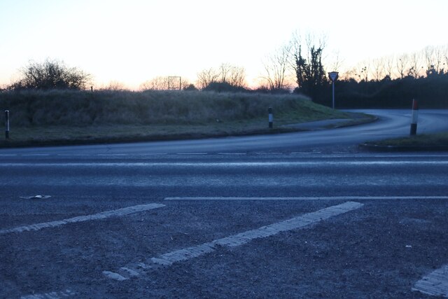
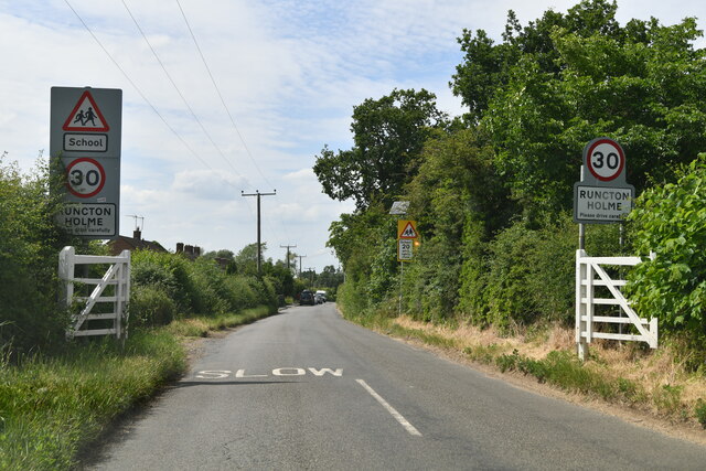
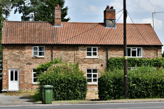
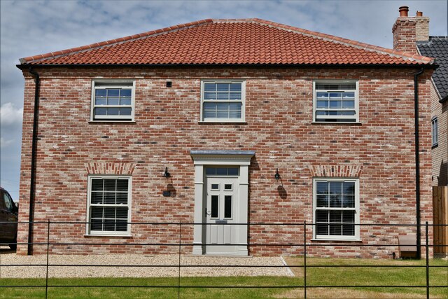
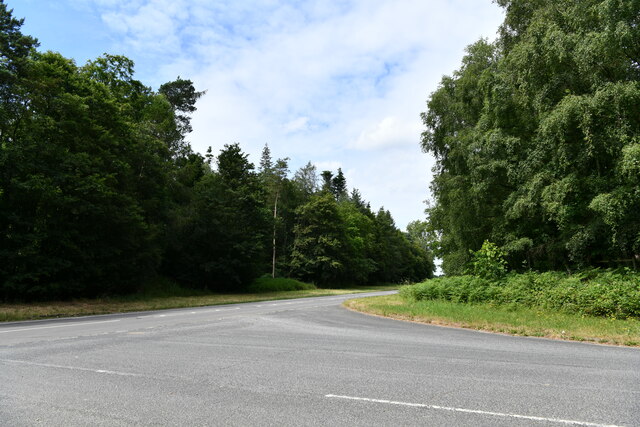
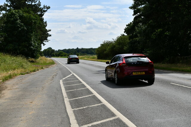
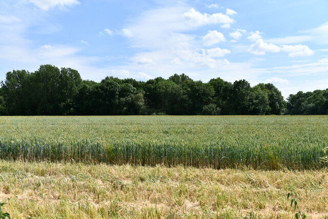
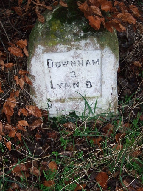
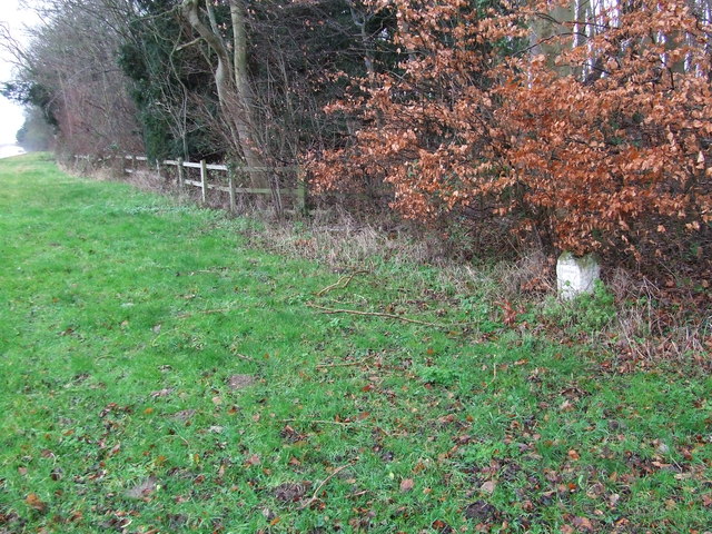
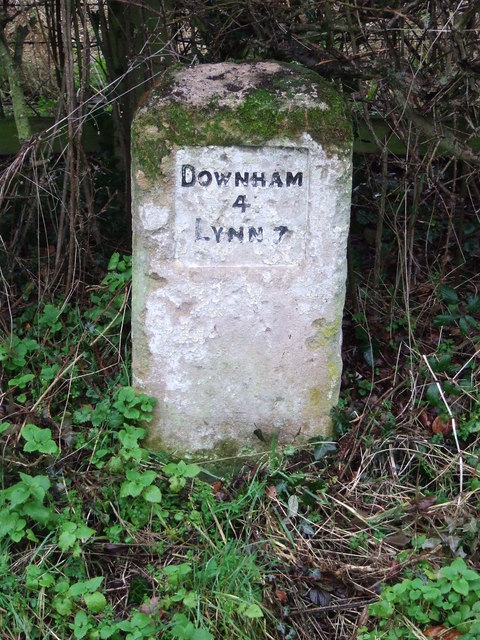
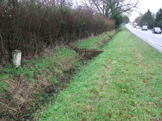
Chain Pond Images
Images are sourced within 2km of 52.639175/0.40411151 or Grid Reference TF6207. Thanks to Geograph Open Source API. All images are credited.


Chain Pond is located at Grid Ref: TF6207 (Lat: 52.639175, Lng: 0.40411151)
Administrative County: Norfolk
District: King's Lynn and West Norfolk
Police Authority: Norfolk
What 3 Words
///pounces.ripe.sped. Near Downham Market, Norfolk
Nearby Locations
Related Wikis

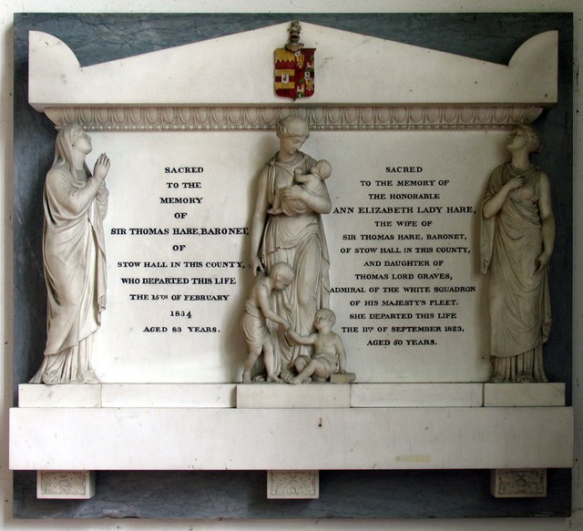
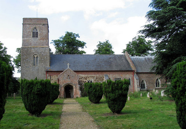
Stow Bardolph
Stow Bardolph, sometimes simply referred to as Stow, is an estate and civil parish in the English county of Norfolk, lying between King's Lynn and Downham...

Stowbridge
Stowbridge or Stow Bridge is a village in the parish of Stow Bardolph, extending into Wiggenhall St Mary Magdalen, in the English county of Norfolk. The...
Runcton Holme
Runcton Holme is a village and civil parish in the English county of Norfolk. It covers an area of 13.89 km2 (5.36 sq mi) and had a population of 676 in...
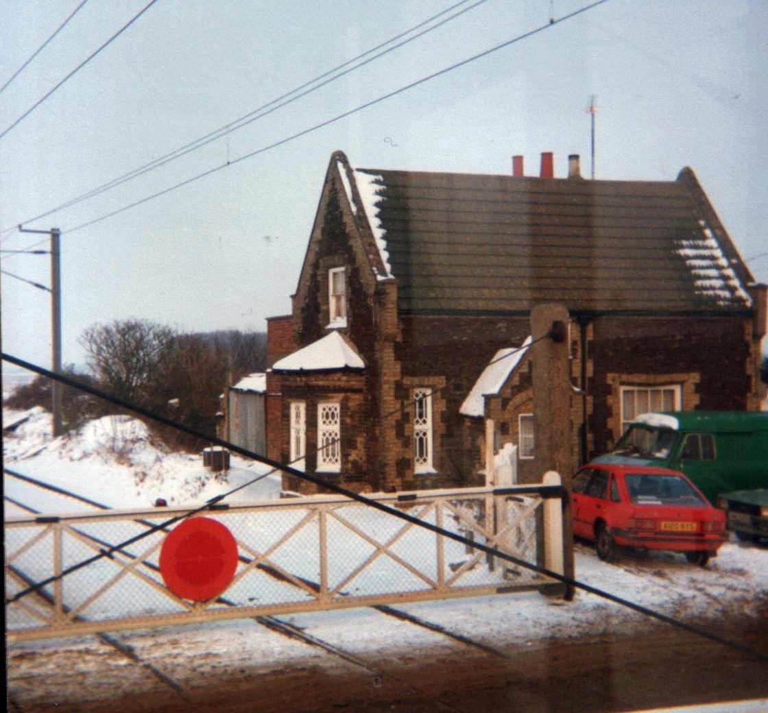
Stow Bardolph railway station
Stow Bardolph railway station, in the parish of Stow Bardolph, Norfolk, served the villages of Stow Bardolph and Stowbridge. It closed in 1963. The Lynn...
Wimbotsham
Wimbotsham is a village and civil parish in the English county of Norfolk. It is situated close to the River Great Ouse, 2 km (1.2 mi) north of the town...

Holme railway station (Norfolk)
Holme railway station was located on the line between Stow Bardolph and Watlington in Norfolk, England. It served the parish of Runcton Holme, and closed...

RAF Downham Market
Royal Air Force Downham Market, or more simply RAF Downham Market, was a Royal Air Force station in the west of the county of Norfolk, England which operated...

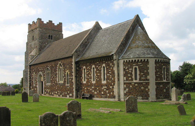
Shouldham Thorpe
Shouldham Thorpe is a village and civil parish in the English county of Norfolk. It covers an area of 5.87 km2 (2.27 sq mi) and had a population of 157...
Have you been to Chain Pond?
Leave your review of Chain Pond below (or comments, questions and feedback).