Hunters' Well
Lake, Pool, Pond, Freshwater Marsh in Essex Uttlesford
England
Hunters' Well

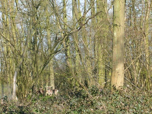
Hunters' Well is a picturesque freshwater marsh located in Essex, England. It is known for its serene atmosphere and stunning natural beauty. The well is situated amidst a lush landscape, surrounded by dense woodlands and rolling hills, creating a peaceful and idyllic setting.
The main attraction of Hunters' Well is its expansive lake, which spans over a considerable area. The crystal-clear waters of the lake offer a habitat for various species of aquatic life, including fish, turtles, and waterfowl. The lake is ideal for fishing enthusiasts, who can enjoy a relaxing day casting their lines and trying to catch perch, pike, and other freshwater fish.
In addition to the lake, the well also boasts a small pool and pond, adding to the diversity of its aquatic environments. These smaller bodies of water provide a safe haven for amphibians and insects, attracting a wide range of wildlife.
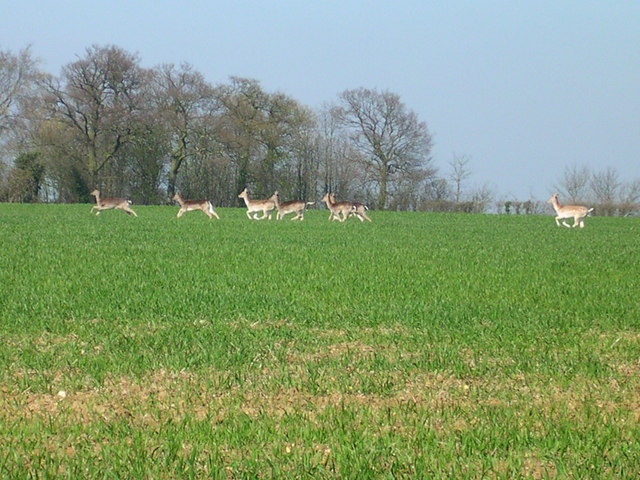
The surrounding freshwater marsh is a haven for birdwatchers and nature enthusiasts. It is home to numerous species of waterbirds, such as herons, swans, and ducks, making it a popular spot for birdwatching. The marshland is also adorned with vibrant aquatic plants, creating a colorful and vibrant landscape.
Visitors to Hunters' Well can enjoy various recreational activities, including hiking and picnicking. The well-maintained trails winding through the woodlands offer a chance to explore the area's natural wonders, while the designated picnic areas provide a perfect spot to relax and enjoy the serene surroundings.
Overall, Hunters' Well is a hidden gem in Essex, offering a unique and peaceful retreat for nature lovers and outdoor enthusiasts alike.
If you have any feedback on the listing, please let us know in the comments section below.
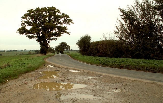
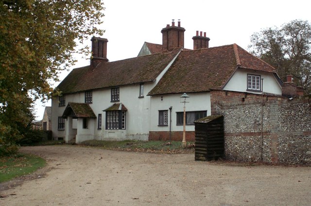
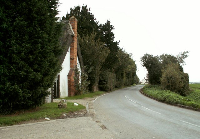
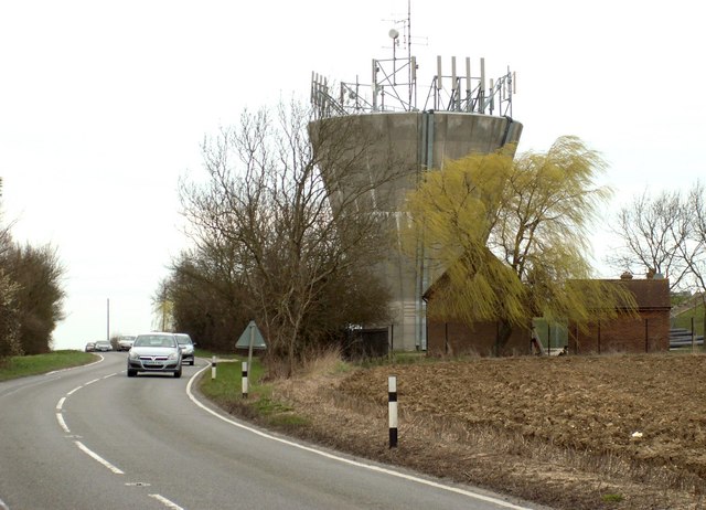
Hunters' Well Images
Images are sourced within 2km of 52.002621/0.24350906 or Grid Reference TL5436. Thanks to Geograph Open Source API. All images are credited.


Hunters' Well is located at Grid Ref: TL5436 (Lat: 52.002621, Lng: 0.24350906)
Administrative County: Essex
District: Uttlesford
Police Authority: Essex
What 3 Words
///tank.witty.annoys. Near Saffron Walden, Essex
Nearby Locations
Related Wikis

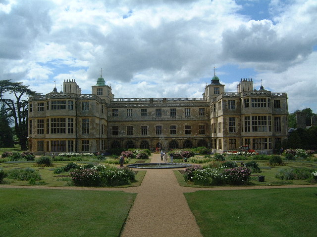
Audley End Airfield
Audley End Airfield is located to the south west of Saffron Walden near to Saffron Walden County High School in the Uttlesford district of Essex, England...
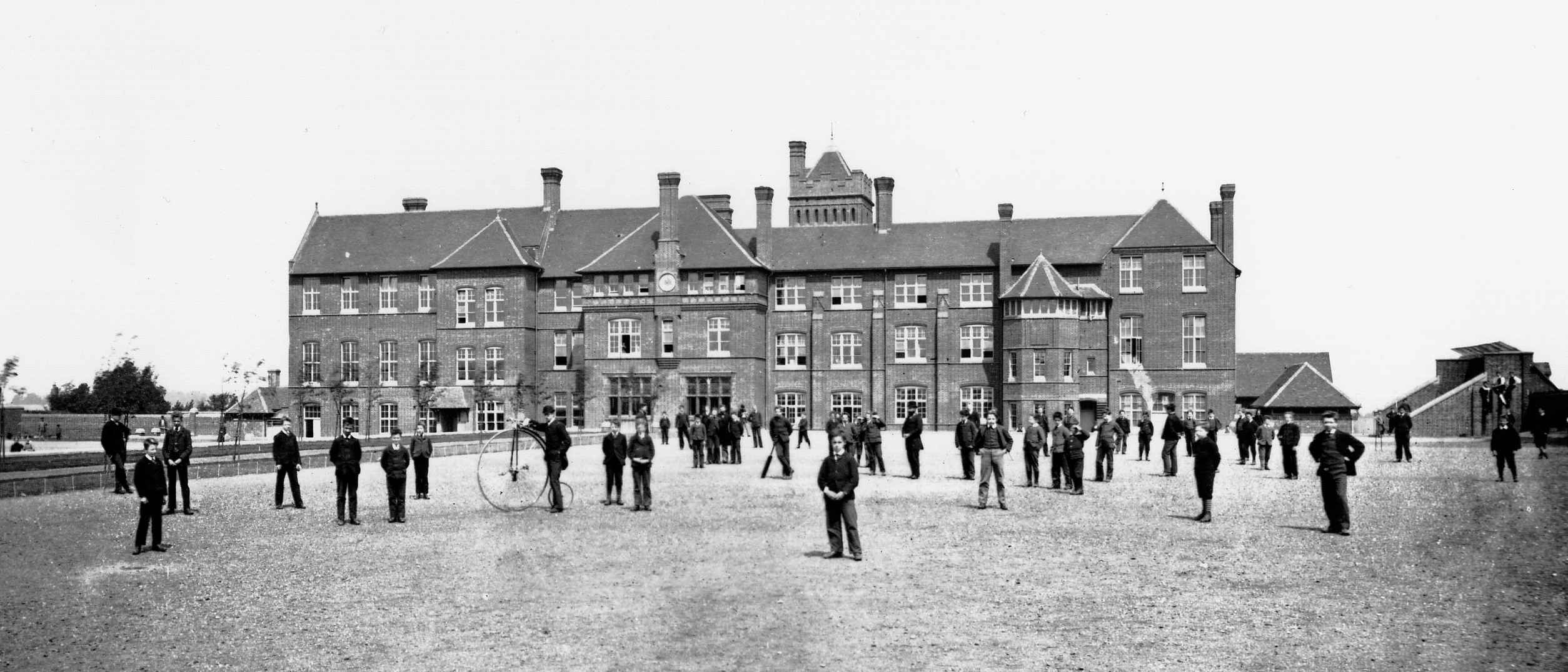
Friends' School, Saffron Walden
Friends' School (known as Walden School from 2016–17) was a Quaker independent school located in Saffron Walden, Essex, situated approximately 12 miles...
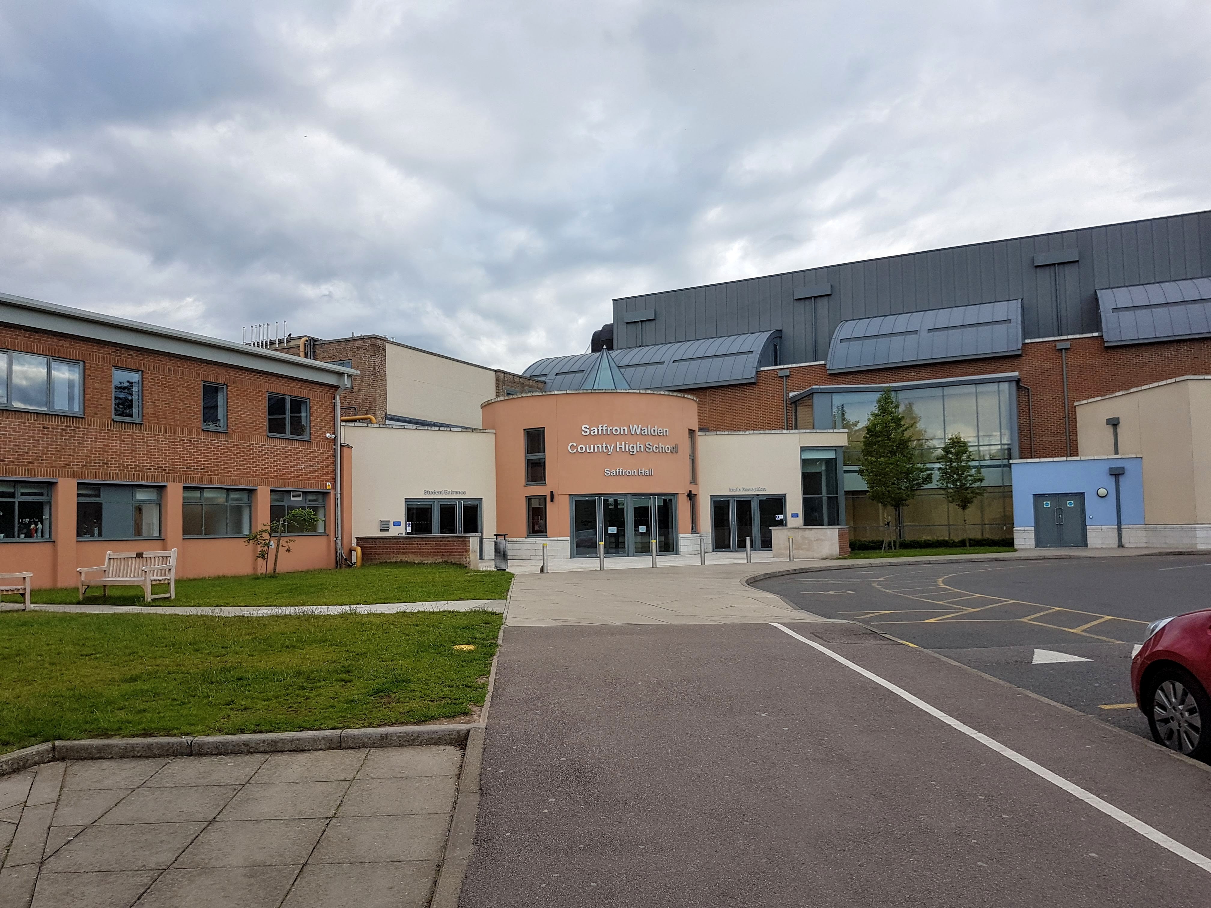
Saffron Walden County High School
Saffron Walden County High School (SWCHS) is a coeducational academy school for ages 11–18 in Saffron Walden, Essex, England. The school is also an accredited...
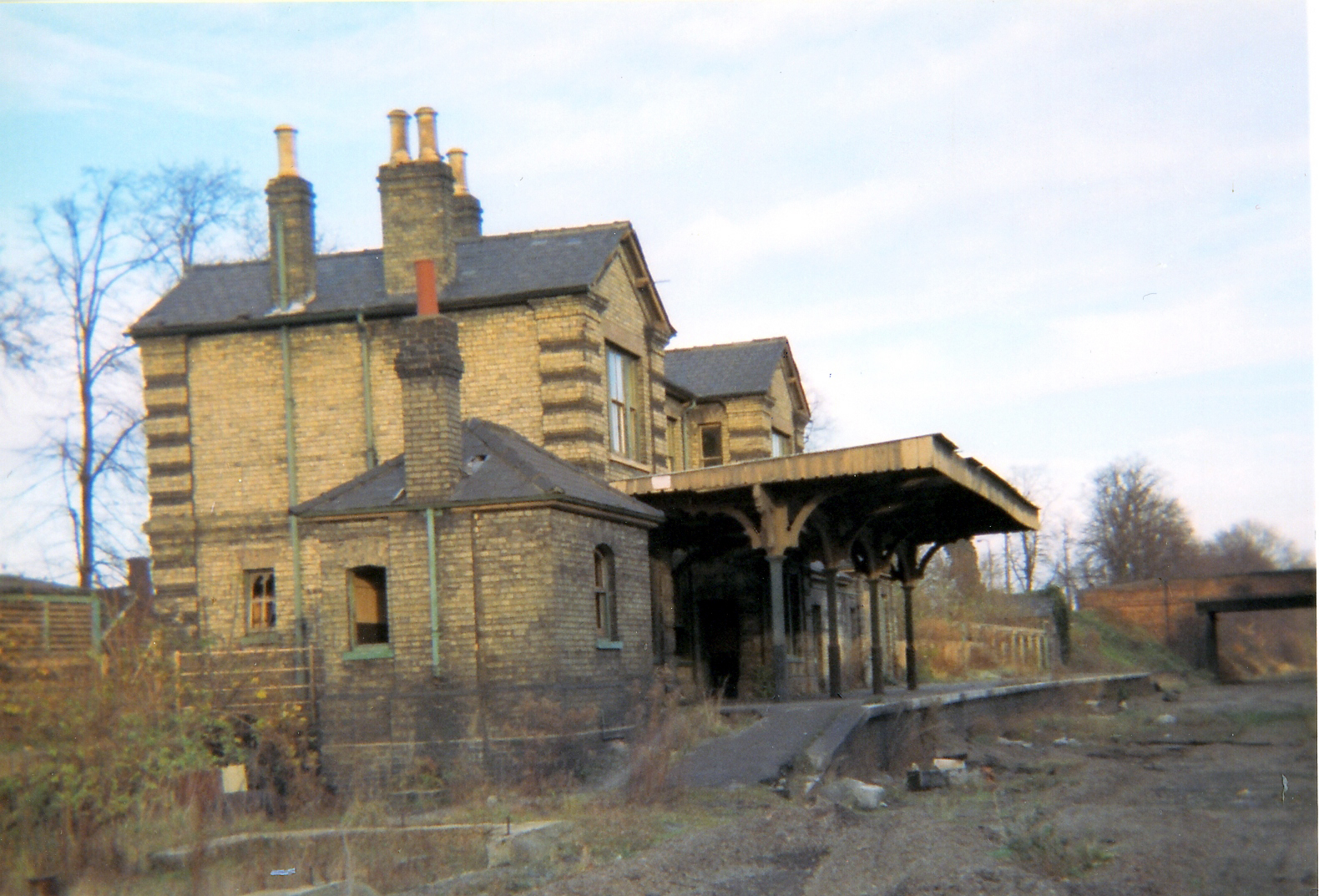
Saffron Walden railway station
Saffron Walden railway station served the town of Saffron Walden, Essex, between 1865 and 1964. The station was 43 miles 43 chains (70.07 km) from London...

Uttlesford
Uttlesford is a local government district in Essex, England. Its council is based in the town of Saffron Walden. The district also includes the town of...
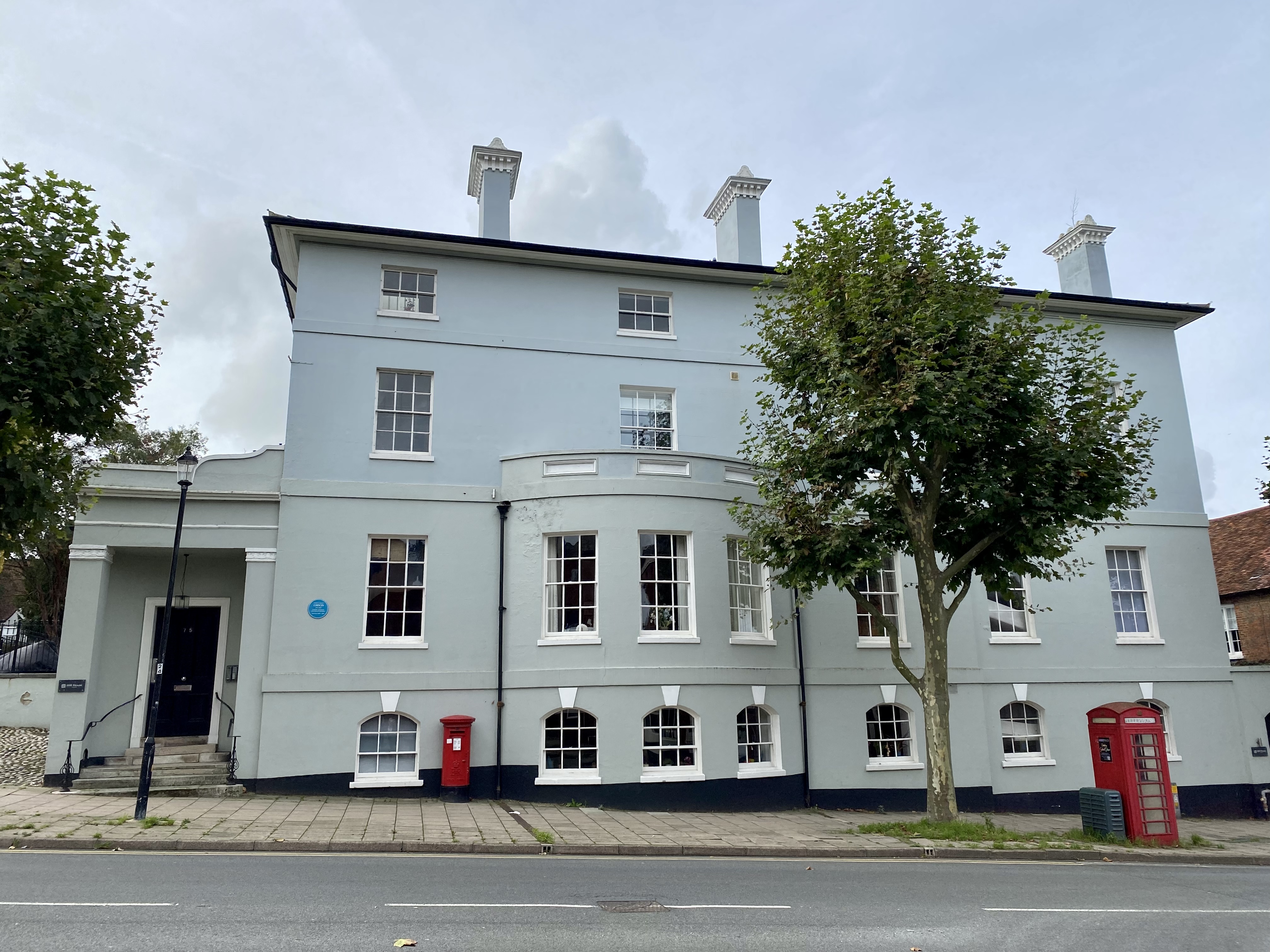
Hill House, Saffron Walden
Hill House is a 19th-century building at 75 High Street, Saffron Walden, Essex, England. It is listed Grade II. In 1845, George Stacey Gibson (1818–1883...
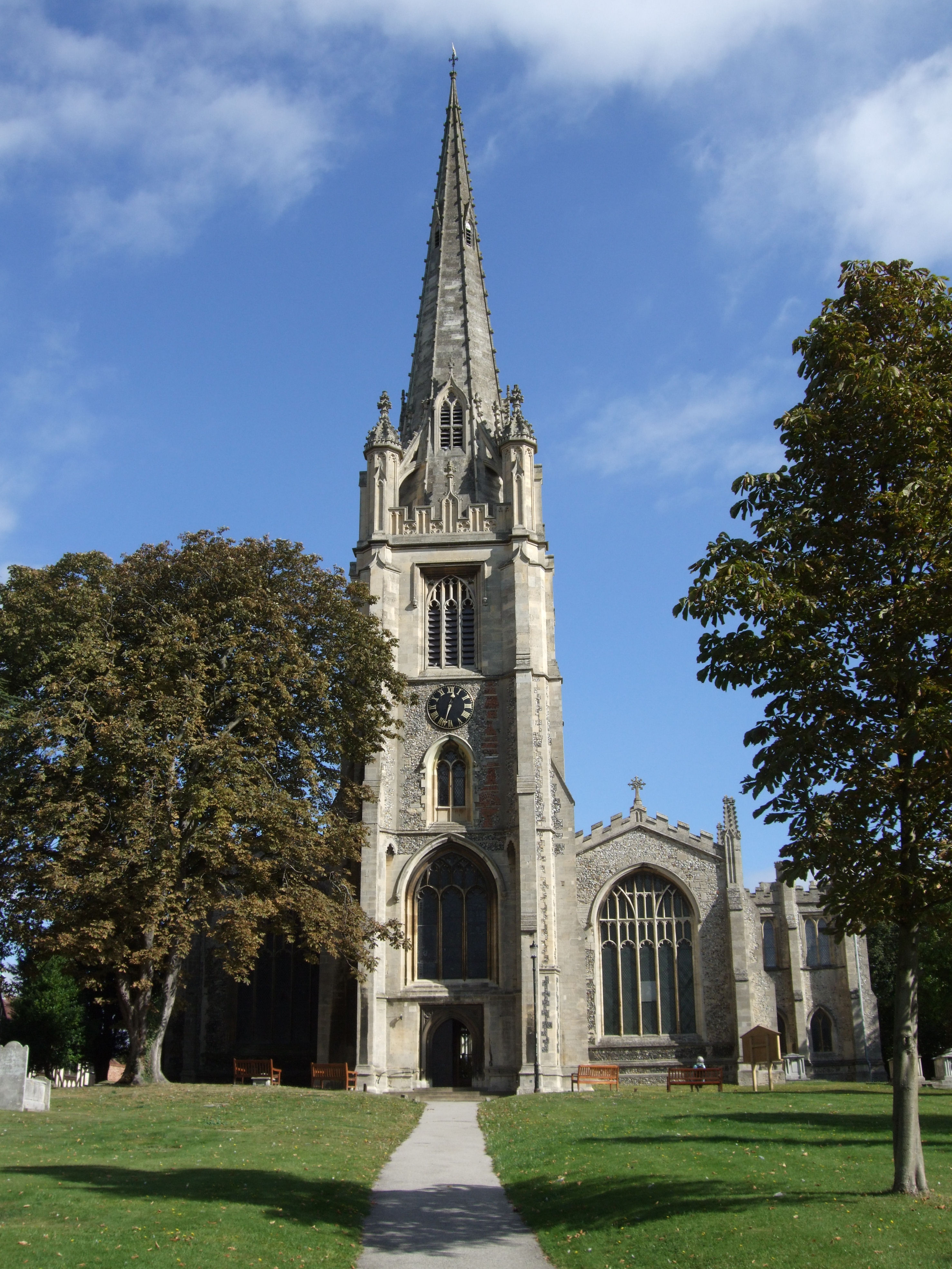
Saffron Walden
Saffron Walden is a market town in the Uttlesford district of Essex, England, 12 miles (19 km) north of Bishop's Stortford, 15 miles (24 km) south of Cambridge...
Walden Abbey
Walden Abbey was a Benedictine monastery in Saffron Walden, Essex, England, founded by Geoffrey de Mandeville, 1st Earl of Essex, between 1136 and 1143...
Nearby Amenities
Located within 500m of 52.002621,0.24350906Have you been to Hunters' Well?
Leave your review of Hunters' Well below (or comments, questions and feedback).