Green Haworth

Settlement in Lancashire Hyndburn

England

Green Haworth

Windmills on Oswaltwistle Moor
Windmills on Oswaltwistle Moor Credit: Eirian Evans

Green Haworth is a small hamlet located in the county of Lancashire, in the northwest of England. Situated near the town of Accrington, Green Haworth is surrounded by picturesque countryside and offers a peaceful and rural setting.

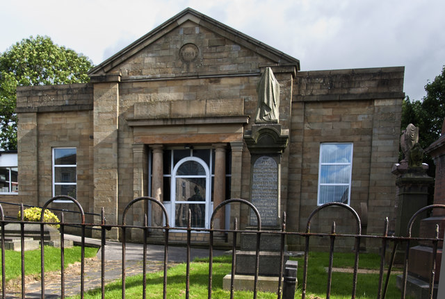
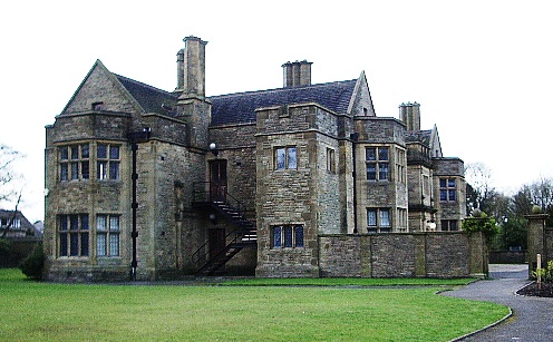
The hamlet is known for its charming and traditional architecture, with a cluster of stone cottages and farmhouses dotting the landscape. These buildings provide a glimpse into the area's rich history, which dates back many centuries. The local residents take great pride in preserving the character and heritage of Green Haworth, ensuring that it retains its quaint and idyllic atmosphere.

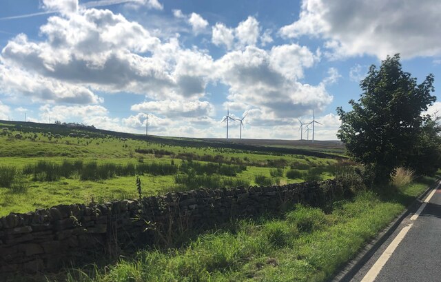
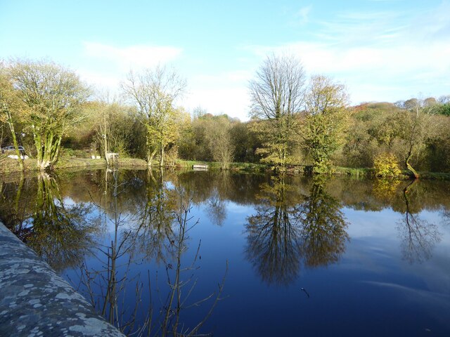
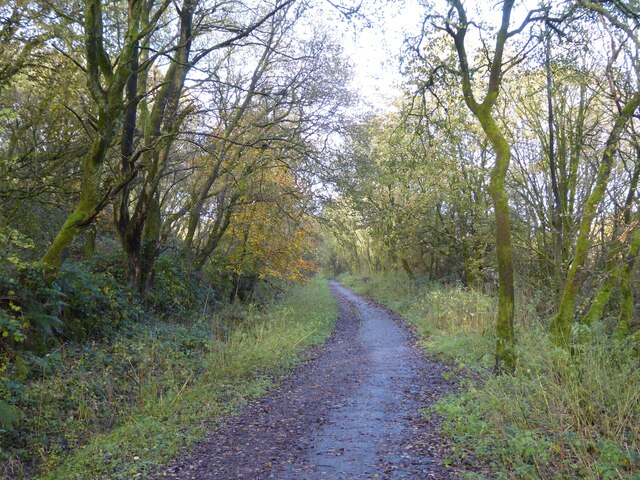
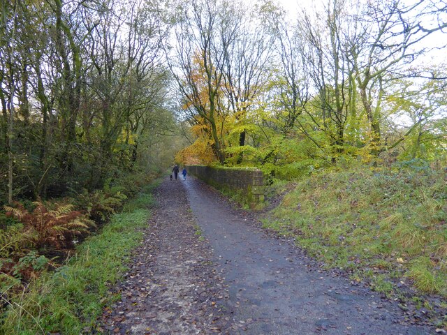
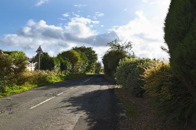
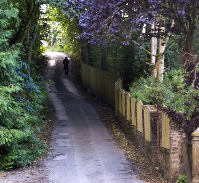
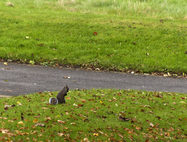
The surrounding countryside offers ample opportunities for outdoor activities such as hiking, cycling, and nature walks. With its rolling hills, meandering rivers, and lush green fields, the area is a haven for nature lovers and outdoor enthusiasts. The nearby West Pennine Moors provide stunning panoramic views and are a popular destination for those seeking a more challenging trek.

Despite its rural setting, Green Haworth is conveniently located near several amenities. The nearby town of Accrington offers a range of shops, restaurants, and services, ensuring that residents have access to all necessary facilities. Additionally, the larger cities of Manchester and Liverpool are within easy reach, providing further opportunities for shopping, entertainment, and cultural experiences.

Overall, Green Haworth offers a serene and close-knit community, picturesque surroundings, and convenient access to both rural and urban amenities. This makes it an ideal choice for those seeking a peaceful and idyllic retreat in the heart of Lancashire.

If you have any feedback on the listing, please let us know in the comments section below.

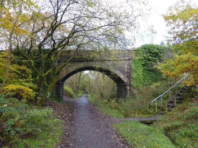
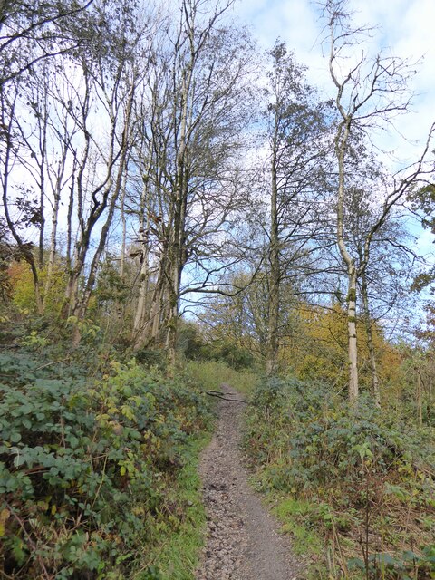
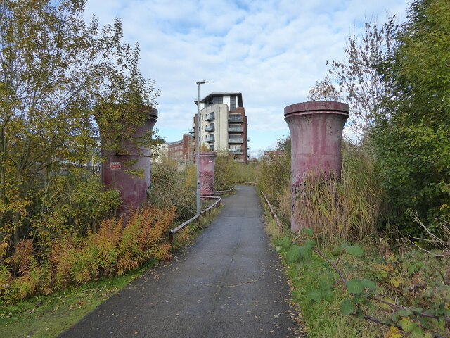
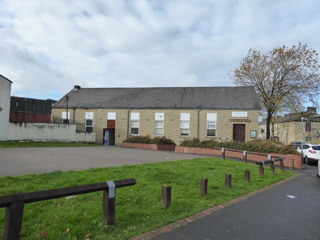
Green Haworth Images

Images are sourced within 2km of 53.732064/-2.371347 or Grid Reference SD7526. Thanks to Geograph Open Source API. All images are credited.

Windmills on Oswaltwistle Moor
Former mill pond Now used by anglers at Sweet Clough
Former mill pond
Now used by anglers at Sweet Clough
Cycle path following route of former railway On the former route to Accrington from Bury having just passed Alliance Mill. The path is known as Hyndburn Greenway.
Cycle path following route of former railway
On the former route to Accrington from Bury having just passed Alliance Mill. The path is known as Hyndburn Greenway.
Cycle path following route of former railway On the Hyndburn Greenway with the walling on the right protecting traffic from falling down a steep drop into Woodnook Water
Cycle path following route of former railway
On the Hyndburn Greenway with the walling on the right protecting traffic from falling down a steep drop into Woodnook Water
Bridge over former railway A cycle route known as the Hyndburn Greenway now passes under the bridge which gives access to Priestley Clough
Bridge over former railway
A cycle route known as the Hyndburn Greenway now passes under the bridge which gives access to Priestley Clough
Path in Priestley Clough One of the paths climbing on the west bank of Woodnook Water away from the footbridge across the stream. These paths are not on OS maps but seem to link Bullough Park with Priestley Clough and Woodnook Vale Nature Reserve.
Path in Priestley Clough
One of the paths climbing on the west bank of Woodnook Water away from the footbridge across the stream. These paths are not on OS maps but seem to link Bullough Park with Priestley Clough and Woodnook Vale Nature Reserve.
Cycle path following route of former railway The path is between the legs of a former viaduct across a mill pond, but will shortly leave the railway route which is built over after the viaduct.
Cycle path following route of former railway
The path is between the legs of a former viaduct across a mill pond, but will shortly leave the railway route which is built over after the viaduct.
Woodnook Centre A former school now an outreach centre for Trinity Community Church. The open area in front of the centre is the site of a Baptist Chapel.
Woodnook Centre
A former school now an outreach centre for Trinity Community Church. The open area in front of the centre is the site of a Baptist Chapel.
Houses by the junction at Green Haworth
Rhydding Methodist Church
Pot House Lane
Pot House Lane
Hoyle Bottom
Hoyle Bottom
Hyndburn Wind Farm The wind farm has 12 x 2.05 MW turbines which are 122 metres high to the tip of the blade. The total installed capacity is 24.6 MW. They generated enough electricity to power the equivalent of over 36,847 homes between October 2012 and October 2014.
Hyndburn Wind Farm
The wind farm has 12 x 2.05 MW turbines which are 122 metres high to the tip of the blade. The total installed capacity is 24.6 MW. They generated enough electricity to power the equivalent of over 36,847 homes between October 2012 and October 2014.
Bullough Park
Bullough Park
A squirrel in Bullough Park
Looking down the hill near Rothwell Heights
A fellow Geographer?
Green Haworth C of E Primary School
Show me another place!

Green Haworth is located at Grid Ref: SD7526 (Lat: 53.732064, Lng: -2.371347)

Administrative County: Lancashire

District: Hyndburn

Police Authority: Lancashire

What 3 Words

///glaze.seasick.comforted. Near Church, Lancashire

Related Wikis

The Hollins

The Hollins (formerly known as The Hollins Technology College until 2017) is a coeducational secondary school located in Accrington in the English county...

Haworth Art Gallery

The Haworth Art Gallery is a public art gallery located in Accrington, Lancashire, northwest England, and is the home of the largest collection in Europe...

Mount Carmel Roman Catholic High School

Mount Carmel Roman Catholic High School is a coeducational Roman Catholic secondary school located in Accrington, a town located in the county of Lancashire...

Oswaldtwistle

Oswaldtwistle ( "ozzel twizzel") is a town in the Hyndburn borough of Lancashire, England, 3 miles (5 km) southeast of Blackburn, contiguous with Accrington...

Rhyddings

Rhyddings (formerly Rhyddings High School and then Rhyddings Business and Enterprise School) is a mixed secondary school located in Oswaldtwistle in the...

Baxenden

Baxenden is a village and ward in the Borough of Hyndburn in Lancashire, North-West England. The ward population taken at the 2011 census was 4,042. Baxenden...

Globe Works, Accrington

The Globe Works is a former industrial works in Accrington, Lancashire, England, that following refurbishment contains rented offices and conference rooms...

Accrington and Rossendale College

Accrington and Rossendale College is a further education college based in Accrington, Lancashire, England. == The College == Accrington & Rossendale College...

Nearby Amenities

Located within 500m of 53.732064,-2.371347
Gaulkthorn
Place: hamlet
Source: npe
Lat/Long: 53.7318287/-2.3782689
Bus Stop
Public Transport: platform
Lat/Long: 53.7316593/-2.3755613
Place Of Worship
St Clement
Denomination: anglican
Religion: christian
Wikidata: Q102317887
Lat/Long: 53.7339317/-2.3706804
Generator Method: wind_turbine
Generator Source: wind
Power: generator
Lat/Long: 53.7293434/-2.3705205
The data included in this document is from www.openstreetmap.org. The data is made available under ODbL.

Have you been to Green Haworth?

Leave your review of Green Haworth below (or comments, questions and feedback).