Arlington Reservoir
Lake, Pool, Pond, Freshwater Marsh in Sussex Wealden
England
Arlington Reservoir
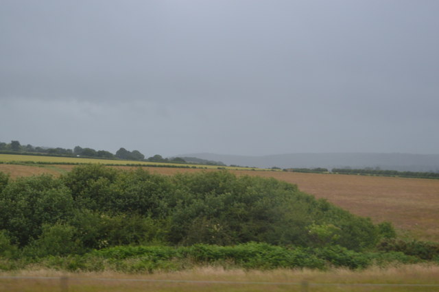
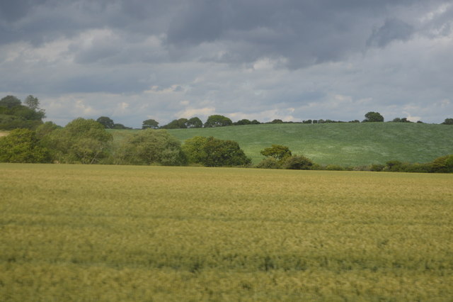
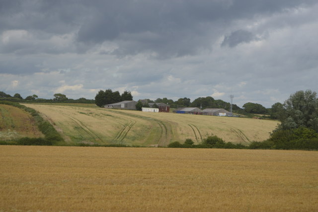
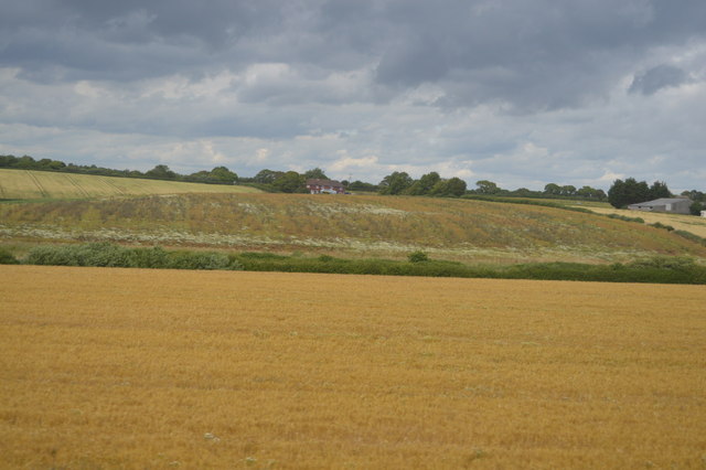
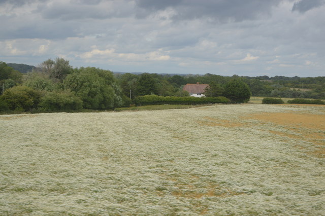
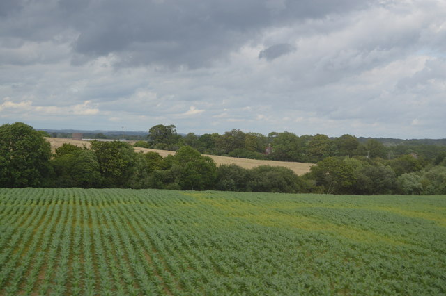
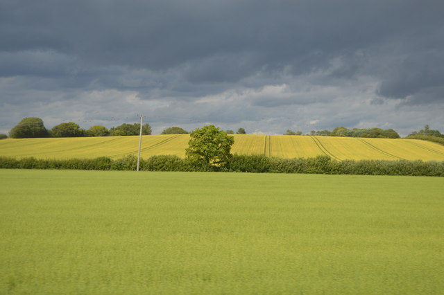
Arlington Reservoir is a picturesque freshwater body located in the county of Sussex, England. Covering an area of about 25 acres, it serves as a popular recreational spot for locals and visitors alike. The reservoir, often referred to as a lake, is nestled amidst a serene landscape surrounded by rolling hills and lush greenery.
Originally constructed in the 1930s as a water supply for Eastbourne, Arlington Reservoir has since evolved into a multi-purpose facility. Boasting crystal-clear waters, it offers opportunities for various water-based activities such as fishing, boating, and kayaking. The reservoir is home to a wide range of fish species, including pike, perch, roach, and carp, making it a haven for anglers.
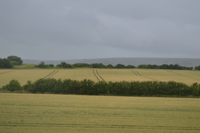
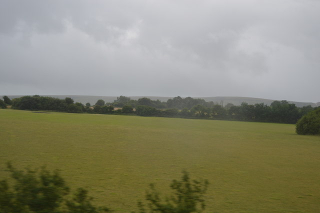
With its well-maintained trails and picnic areas, Arlington Reservoir also attracts nature enthusiasts and families looking to enjoy a peaceful day out. The surrounding woodland and meadows provide a habitat for diverse wildlife, including birds, butterflies, and small mammals. Visitors can often spot species such as herons, kingfishers, and ducks, adding to the reservoir's scenic charm.
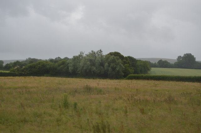
Adjacent to the reservoir, a freshwater marshland thrives, supporting a variety of wetland plants and attracting numerous bird species. This marsh is an essential breeding and feeding ground for resident and migratory birds, making it a popular spot for birdwatching.
Overall, Arlington Reservoir offers a tranquil retreat for individuals seeking outdoor activities, nature lovers, and those who simply wish to unwind amidst the beauty of the Sussex countryside.
If you have any feedback on the listing, please let us know in the comments section below.
Arlington Reservoir Images
Images are sourced within 2km of 50.84552/0.17672544 or Grid Reference TQ5307. Thanks to Geograph Open Source API. All images are credited.

Arlington Reservoir is located at Grid Ref: TQ5307 (Lat: 50.84552, Lng: 0.17672544)
Administrative County: East Sussex
District: Wealden
Police Authority: Sussex
What 3 Words
///tracks.outlined.remotest. Near Hailsham, East Sussex
Nearby Locations
Related Wikis

Arlington Reservoir
Arlington Reservoir is a 100.4-hectare (248-acre) biological Site of Special Scientific Interest west of Hailsham in East Sussex, England. It is also a...

Berwick railway station (East Sussex)
Berwick railway station is located in Berwick, East Sussex, England. Berwick village is located nearby to the south of the A27 road. The station is on...
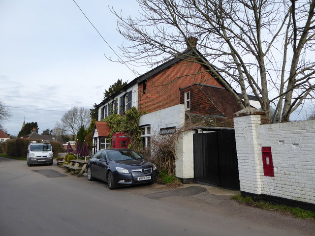
Arlington, East Sussex
Arlington is a village and civil parish in the Wealden district of East Sussex, England. The parish is on the River Cuckmere, and is the location of a...

Milton Gate Marsh
Milton Gate Marsh is a 17.7-hectare (44-acre) biological Site of Special Scientific Interest north-west of Eastbourne in East Sussex.This site consists...

Long Man
Long Man is a civil parish in the Wealden District of East Sussex, England, which includes the villages of Wilmington, Milton Street and Folkington. The...
Chalvington with Ripe
The civil parish of Chalvington with Ripe, in the Wealden District of East Sussex, England, is made up of the two villages, Chalvington and Ripe. They...

Berwick, East Sussex
Berwick (pronounced BUR-wik or, more recently, BERR-ik) is a village and civil parish in the Wealden district of East Sussex in England. The village...

Drusillas Zoo Park
Drusillas Park is a small 10-acre (4.0 ha) zoo near to Alfriston, in East Sussex, UK. Its exhibits are targeted towards children between 2 and 10 years...
Related Videos


The entities we meet in DMT hyperspace
This is another rambling conversation between myself and Justin contemplating the different entities we meet in hyperspace!

Arlington Big Van Bangers 2019
May Bank Holiday Big Van Bangers.

Lend and Tend on The BBC One Show.
On The BBC One Show on Monday 17th October, Lauren Laverne and Roman Kemp introduce Gardener's World gardener Arit ...
Nearby Amenities
Located within 500m of 50.84552,0.17672544Have you been to Arlington Reservoir?
Leave your review of Arlington Reservoir below (or comments, questions and feedback).