Bardag Lake
Lake, Pool, Pond, Freshwater Marsh in Essex
England
Bardag Lake
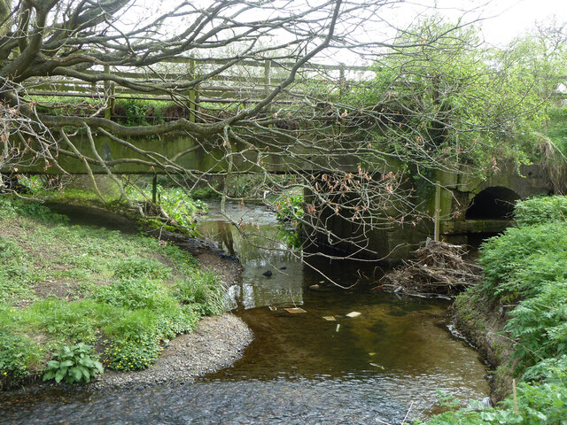
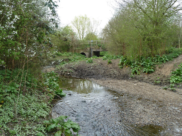
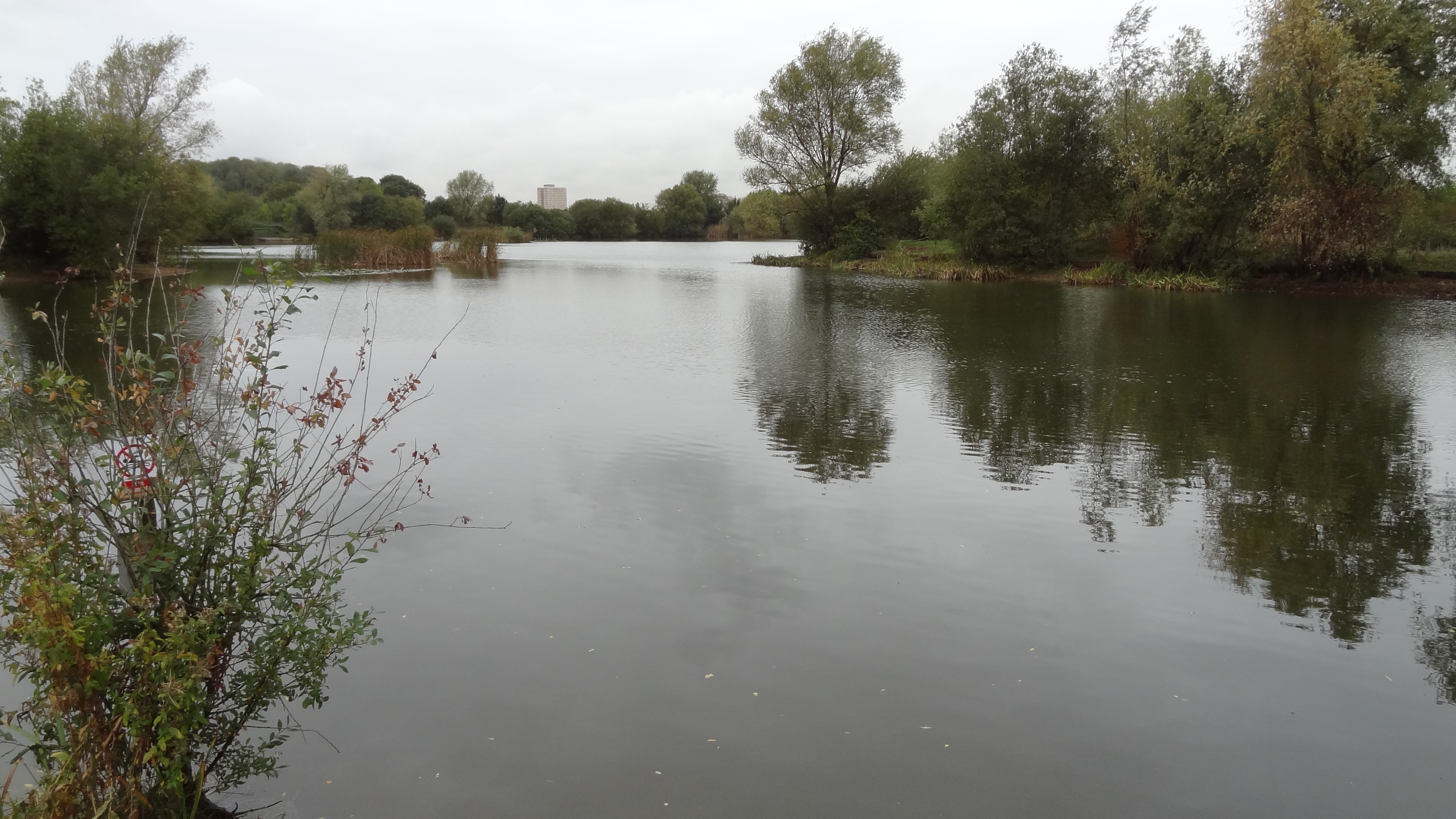
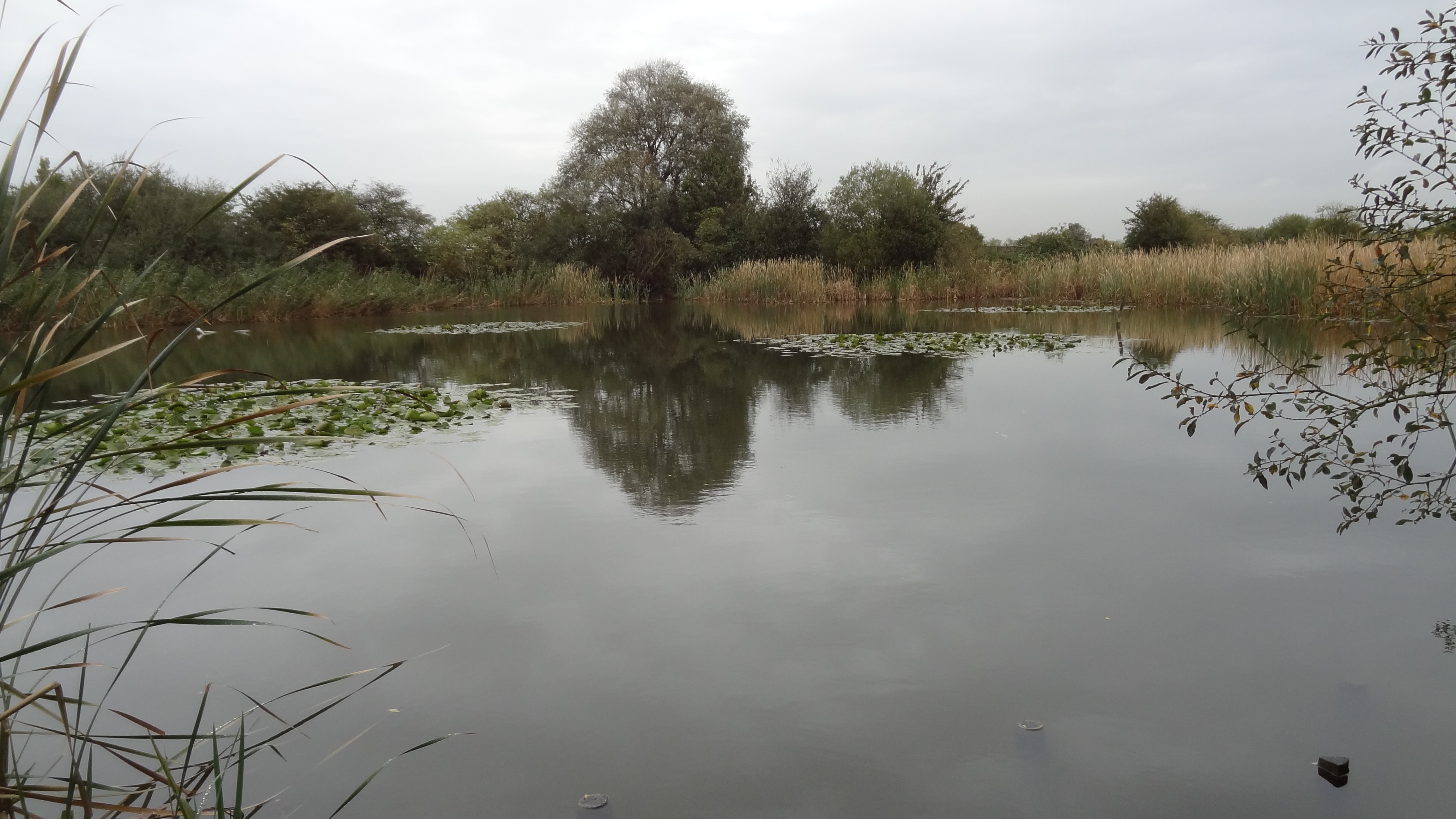
Bardag Lake, located in Essex County, is a stunning freshwater body that encompasses various ecosystems, including a lake, pool, pond, and freshwater marsh. It spans an area of approximately 100 acres and is nestled amidst the picturesque countryside of Essex. The lake is fed by several small streams and springs, ensuring a constant flow of freshwater.
The main feature of Bardag Lake is its crystal-clear water, which is renowned for its purity and supports a diverse range of aquatic life. The lake is home to numerous species of fish, including perch, pike, roach, and carp, making it a popular destination for anglers and fishing enthusiasts.
Surrounding the lake, there is a lush pool and pond area, providing a tranquil habitat for a variety of bird species, such as swans, ducks, herons, and geese. These birds can often be seen gracefully gliding across the calm water or nesting in the surrounding trees and vegetation.
Additionally, Bardag Lake boasts a vibrant freshwater marsh, characterized by a rich assortment of plants and wildlife. The marsh is teeming with reeds, rushes, and other water-loving plants, creating a haven for amphibians, insects, and small mammals. Visitors can observe frogs, dragonflies, and even otters in this thriving ecosystem.
Bardag Lake offers a serene and idyllic setting for nature lovers and outdoor enthusiasts alike. Its diverse range of aquatic habitats and abundant wildlife make it a prime location for recreational activities such as fishing, birdwatching, and nature walks. With its natural beauty and ecological importance, Bardag Lake is a true gem within the Essex countryside.
If you have any feedback on the listing, please let us know in the comments section below.
Bardag Lake Images
Images are sourced within 2km of 51.550685/0.17822978 or Grid Reference TQ5185. Thanks to Geograph Open Source API. All images are credited.


Bardag Lake is located at Grid Ref: TQ5185 (Lat: 51.550685, Lng: 0.17822978)
Unitary Authority: Barking and Dagenham
Police Authority: Metropolitan
What 3 Words
///clues.stars.rift. Near Dagenham, London
Nearby Locations
Related Wikis
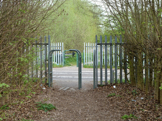
Eastbrookend Country Park
Eastbrookend Country Park is an 84-hectare park and Local Nature Reserve in Dagenham in the London Borough of Barking and Dagenham, in England. Together...

Beam Valley Country Park
Beam Valley Country Park is a 74-hectare park in Dagenham in the London Borough of Barking and Dagenham. Most of it is designated as a Local Nature Reserve...
The Chase Nature Reserve
The Chase is a nature reserve in Dagenham in London. Most of it is in the London Borough of Barking and Dagenham, with a small part in Havering. It is...

Elutec
Elutec (East London University Technical College) is a University Technical College located in Dagenham in the London Borough of Barking and Dagenham,...
The Rom
The Rom is a Grade II listed skatepark in Hornchurch, East London, England. Built in 1978, and designed by Adrian Rolt of G-Force, it is the most completely...

Eastbrook, Dagenham
The Eastbrook is a Grade II* listed public house at Dagenham Road, Dagenham, London.In listing it at Grade II*, Historic England note its "smart Neo-Georgian...
Barking and Dagenham College
Barking & Dagenham College is a general further education college in East London, England. It is located at a single complex in the eastern part of the...
Rush Green Hospital
Rush Green Hospital was a hospital located at Rush Green in the London Borough of Barking and Dagenham in London from 1900 to 1995. == History == The hospital...
Nearby Amenities
Located within 500m of 51.550685,0.17822978Have you been to Bardag Lake?
Leave your review of Bardag Lake below (or comments, questions and feedback).