Muslins Pit

Lake, Pool, Pond, Freshwater Marsh in Sussex Wealden

England

Muslins Pit

Little Stream Farm near Ripe The brightest thing I saw today. The front and left hand side are all painted in this very bright blue. Taken from Mill Lane.
Little Stream Farm near Ripe Credit: Simon Carey

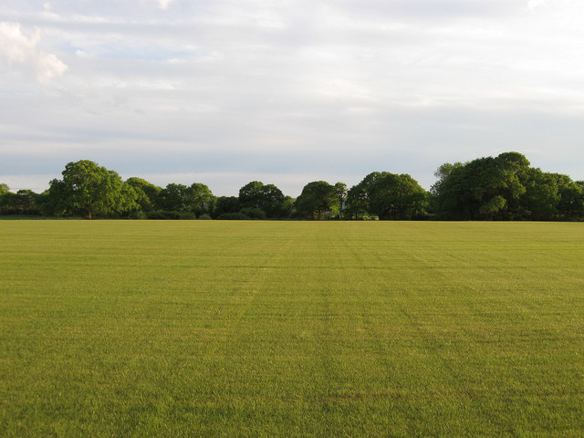
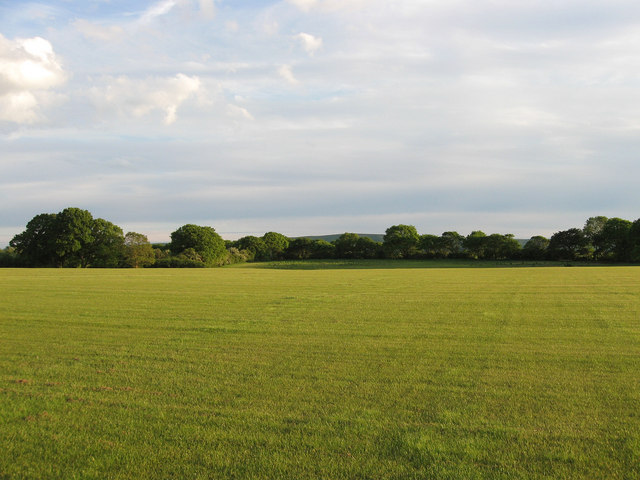
Muslins Pit is a picturesque freshwater marsh located in Sussex, England. Situated within the idyllic South Downs National Park, this natural gem offers a serene and tranquil environment for both locals and visitors to enjoy. The pit is a result of gravel extraction that took place several decades ago, leaving behind a beautiful body of water encompassed by lush vegetation.

Covering an area of approximately 5 acres, Muslins Pit boasts crystal-clear waters that reflect the surrounding landscape, creating a mesmerizing sight. The pit is fed by natural springs, ensuring a constant flow of fresh, clean water. Its depth varies, ranging from shallow areas perfect for wading or paddling, to deeper sections suitable for swimming or fishing.

The diverse flora and fauna that call Muslins Pit home add to its allure. The surrounding marshland is a haven for numerous species of water birds, such as herons, ducks, and coots, making it a birdwatcher's paradise. The water is also teeming with life, hosting a variety of fish species, including carp and perch, providing excellent opportunities for anglers.

For those seeking a peaceful escape or a chance to reconnect with nature, Muslins Pit offers several walking trails around its perimeter. These paths provide panoramic views of the pit and its surrounding wetlands, allowing visitors to appreciate the unique ecosystem and its delicate balance.

Due to its natural beauty and ecological significance, Muslins Pit is a protected area, ensuring its preservation for future generations to enjoy. Whether for leisurely walks, birdwatching, fishing, or simply unwinding amidst nature's tranquility, Muslins Pit is a hidden gem waiting to be discovered.

If you have any feedback on the listing, please let us know in the comments section below.
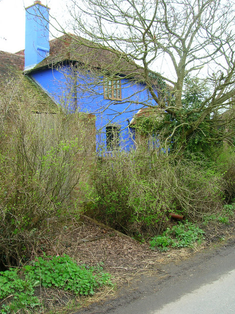
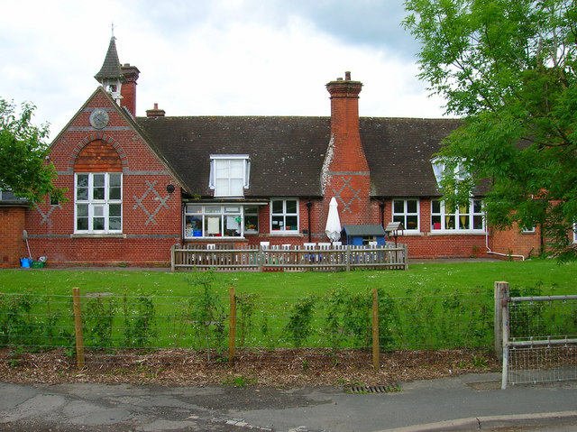
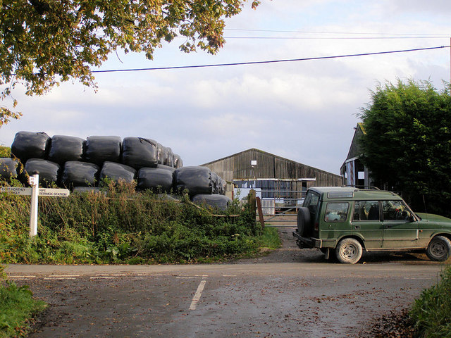
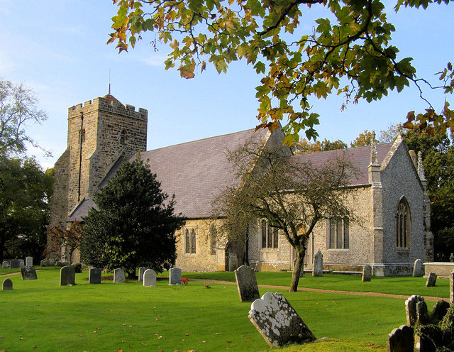
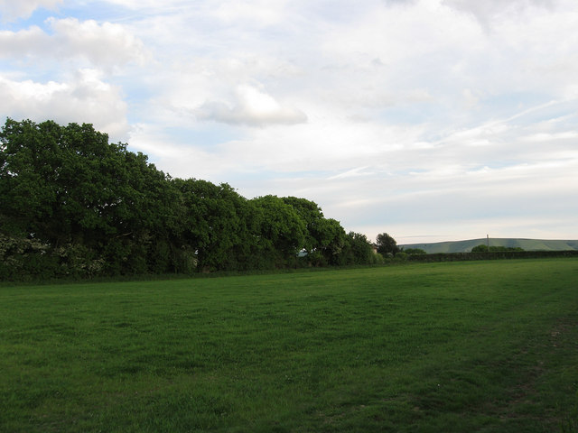
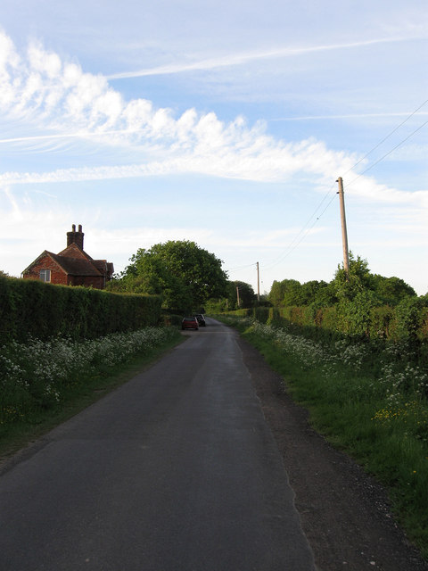
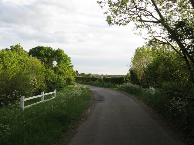
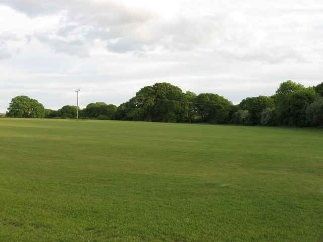
Muslins Pit Images

Images are sourced within 2km of 50.882777/0.11978794 or Grid Reference TQ4911. Thanks to Geograph Open Source API. All images are credited.

Little Stream Farm near Ripe The brightest thing I saw today. The front and left hand side are all painted in this very bright blue. Taken from Mill Lane.
Little Stream Farm near Ripe
The brightest thing I saw today. The front and left hand side are all painted in this very bright blue. Taken from Mill Lane.
Anglers Pond, Ripe Used by Southdown Anglers club. The stream is dammed at both ends.
Anglers Pond, Ripe
Used by Southdown Anglers club. The stream is dammed at both ends.
Laughton Community Primary School Small Victorian village school still going strong.
Laughton Community Primary School
Small Victorian village school still going strong.
Cleaver's Farm, near Ripe
All Saints Church, Laughton Laughton Church is about a mile south of the village. It was the parish church for the Pelham Family and the Pelham creast, the buckle, decorates the tower.
All Saints Church, Laughton
Laughton Church is about a mile south of the village. It was the parish church for the Pelham Family and the Pelham creast, the buckle, decorates the tower.
All Saints Church, Laughton The church has an uncluttered interior with few memorials. Note the Royal Arms for George III and the two helmets (Funeral Helms) in front of the chancel arch. The chancel is off set to the nave of the church and could indicated the angle of Christ's head on the cross.
All Saints Church, Laughton
The church has an uncluttered interior with few memorials. Note the Royal Arms for George III and the two helmets (Funeral Helms) in front of the chancel arch. The chancel is off set to the nave of the church and could indicated the angle of Christ's head on the cross.
Junction of Shortgate Road, Laughton Road & Church Lane
Laughton Parish Church The east side of the church. A wedding was just about to take place.
Laughton Parish Church
The east side of the church. A wedding was just about to take place.
All Saints, Laughton
Crossroads on the B2124 at Laughton, East Sussex
Corner Piece The name of the field according to the 1837 tithe map and so named as it lies next to the junction of Mill Lane and Mark Cross Lane.
Corner Piece
The name of the field according to the 1837 tithe map and so named as it lies next to the junction of Mill Lane and Mark Cross Lane.
Mill Lane The name of the single track lane that lies between Mark Cross and Stone Cross and sometimes known as Cleavers Bridge Lane. The lane dates at least back to Roman times and may be older as there is some evidence to suggest that the Romans utilised an older Iron Age droving track that linked the South Downs to the Weald. The lane itself forms the western boundary of the Roman field system around Ripe and Chalvington and also the parish boundary between Ripe and Laughton. The building on the left contains Stream Farm Cottage and Mill Farm Cottage.
Mill Lane
The name of the single track lane that lies between Mark Cross and Stone Cross and sometimes known as Cleavers Bridge Lane. The lane dates at least back to Roman times and may be older as there is some evidence to suggest that the Romans utilised an older Iron Age droving track that linked the South Downs to the Weald. The lane itself forms the western boundary of the Roman field system around Ripe and Chalvington and also the parish boundary between Ripe and Laughton. The building on the left contains Stream Farm Cottage and Mill Farm Cottage.
Cleaver's Bridge Carrying Mill Lane over an unnamed tributary of Glynde Reach.
Cleaver's Bridge
Carrying Mill Lane over an unnamed tributary of Glynde Reach.
Wickland Field The name of the field according to the 1837 tithe map that has been expanded to include five other fields.
Wickland Field
The name of the field according to the 1837 tithe map that has been expanded to include five other fields.
Great Barn Field The name of the field according to the 1837 tithe map that has been expanded to include five other fields; Little Pepper Ham to the west; and Wickland field, Tucknott Field, Little Barn Field and Pepper Ham to the south.
Great Barn Field
The name of the field according to the 1837 tithe map that has been expanded to include five other fields; Little Pepper Ham to the west; and Wickland field, Tucknott Field, Little Barn Field and Pepper Ham to the south.
Tucknott Field The name of the field according to the 1837 tithe map that has been expanded to include five other fields; Little Pepper Ham and Great Barn Field to the north; and Wickland field to the west; and Little Barn Field and Pepper Ham to the east.
Tucknott Field
The name of the field according to the 1837 tithe map that has been expanded to include five other fields; Little Pepper Ham and Great Barn Field to the north; and Wickland field to the west; and Little Barn Field and Pepper Ham to the east.
Little Barn Field The name of the field according to the 1837 tithe map that has been expanded to include five other fields; Little Pepper Ham and Great Barn Field to the north; Wickland field and Tucknott Field to the west;  and Pepper Ham to the east.
Little Barn Field
The name of the field according to the 1837 tithe map that has been expanded to include five other fields; Little Pepper Ham and Great Barn Field to the north; Wickland field and Tucknott Field to the west; and Pepper Ham to the east.
Little Pepper Ham The name of the field according to the 1837 tithe map that has been expanded to include five other fields; Great Barn Field to the west; and Wickland field, Tucknott Field, Little Barn Field and Pepper Ham to the south.
Little Pepper Ham
The name of the field according to the 1837 tithe map that has been expanded to include five other fields; Great Barn Field to the west; and Wickland field, Tucknott Field, Little Barn Field and Pepper Ham to the south.
Show me another place!

Muslins Pit is located at Grid Ref: TQ4911 (Lat: 50.882777, Lng: 0.11978794)

Administrative County: East Sussex

District: Wealden

Police Authority: Sussex

What 3 Words

///catapult.burden.onwards. Near Ringmer, East Sussex

Nearby Locations

Muslins Pit

Related Wikis

Laughton Place

Laughton Place is a historic building near Lewes, Sussex owned by the Landmark Trust. The Pelham family bought Laughton Place, an old fortified manor,...

Broyle Place

Broyle Place is a historic house in Sussex, England. It is a Grade II listed Elizabethan manor house. In the 12th century, it belonged to Theobald, Archbishop...

Laughton, East Sussex

Laughton is a village and civil parish in the Wealden district of East Sussex, England. The village is located five miles (8 km) east of Lewes, at a junction...

RAF Deanland

RAF Deanland is a former Royal Air Force advanced landing ground located 4 miles (6.4 km) west of Hailsham, East Sussex and 13.4 miles (21.6 km) north...

Chalvington with Ripe

The civil parish of Chalvington with Ripe, in the Wealden District of East Sussex, England, is made up of the two villages, Chalvington and Ripe. They...

Ringmer A.F.C.

Ringmer Association Football Club is a football club based in Ringmer, England. They are currently members of the Mid-Sussex League Premier Division and...

Park Corner Heath

Park Corner Heath is a 2.9-hectare (7.2-acre) biological Site of Special Scientific Interest about 1.2 miles (2 km) south of East Hoathly, adjacent to...

King's Academy Ringmer

King's Academy Ringmer is an academy school and a specialist technology college. It is located in the village of Ringmer, East Sussex, England. The school...

Have you been to Muslins Pit?

Leave your review of Muslins Pit below (or comments, questions and feedback).