Dickerson's Pit
Lake, Pool, Pond, Freshwater Marsh in Cambridgeshire South Cambridgeshire
England
Dickerson's Pit

Dickerson's Pit is a picturesque freshwater marsh located in Cambridgeshire, England. With its tranquil surroundings and abundant wildlife, it is a popular destination for nature enthusiasts and birdwatchers alike.
Covering an area of approximately 20 acres, this natural gem is characterized by its diverse ecosystem, comprising a lake, pool, pond, and freshwater marsh. The lake, which is the main feature of Dickerson's Pit, spans across a significant portion of the site and provides a habitat for various aquatic species. Its crystal-clear waters are home to a variety of fish, including carp, pike, and perch, making it a haven for anglers.
Adjacent to the lake, a pool and pond can be found, further enriching the biodiversity of the area. These smaller bodies of water attract a plethora of waterfowl, such as ducks, geese, and swans, which can be observed gracefully gliding across the surface. Additionally, the pool and pond provide an essential source of water for the surrounding vegetation, ensuring the marsh remains lush and vibrant.
The freshwater marsh, with its tall reeds and marsh grasses, acts as a vital nesting ground and feeding area for a multitude of bird species. Over 100 different bird species have been recorded in the area, including the iconic kingfisher and the elusive bittern. Visitors can often spot these beautiful creatures perched on branches or soaring above the marsh, making it a birdwatcher's paradise.
Overall, Dickerson's Pit offers a serene and idyllic setting for nature lovers to immerse themselves in the wonders of the natural world. Its diverse aquatic habitats and rich biodiversity make it a must-visit destination for those seeking a tranquil retreat in the heart of Cambridgeshire.
If you have any feedback on the listing, please let us know in the comments section below.
Dickerson's Pit Images
Images are sourced within 2km of 52.237374/0.16636892 or Grid Reference TL4862. Thanks to Geograph Open Source API. All images are credited.


Dickerson's Pit is located at Grid Ref: TL4862 (Lat: 52.237374, Lng: 0.16636892)
Administrative County: Cambridgeshire
District: South Cambridgeshire
Police Authority: Cambridgeshire
What 3 Words
///cases.crowned.tamed. Near Waterbeach, Cambridgeshire
Nearby Locations
Related Wikis
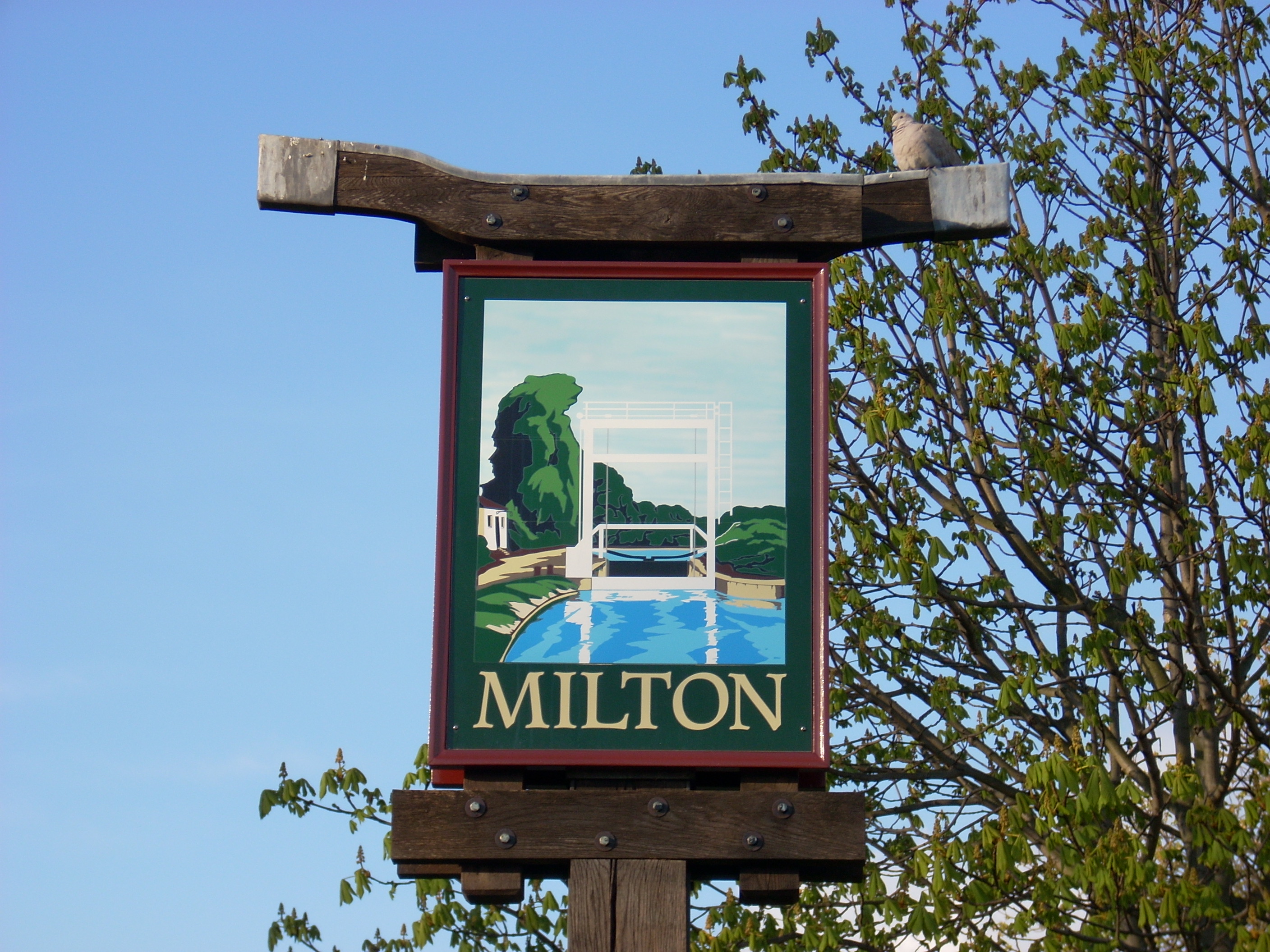
Milton, Cambridgeshire
Milton is a village just north of Cambridge, England, with a population of 4,679 at the 2011 census. == History == Milton grew from a small population...

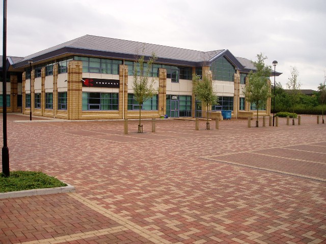
St John's Innovation Centre
St John's Innovation Centre (SJIC) is a business incubator in Cambridge, England. It houses a concentration of science and technology related businesses...
TeraView
TeraView Limited, or TeraView, is a company that designs terahertz imaging and spectroscopy instruments and equipment for measurement and evaluation of...
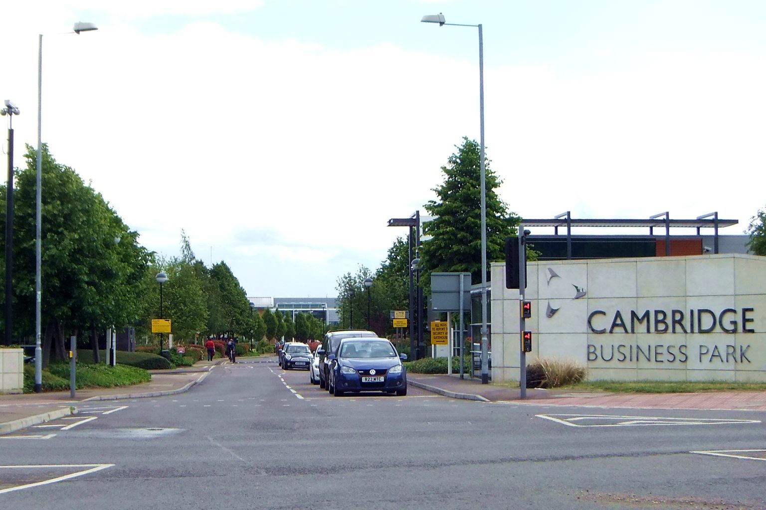
Cambridge Business Park
Cambridge Business Park is a large business complex in Cambridge, England, owned by the Crown Estate. It is home to many companies, mostly IT-related,...
Nearby Amenities
Located within 500m of 52.237374,0.16636892Have you been to Dickerson's Pit?
Leave your review of Dickerson's Pit below (or comments, questions and feedback).