White Lion Pond
Lake, Pool, Pond, Freshwater Marsh in Sussex Lewes
England
White Lion Pond
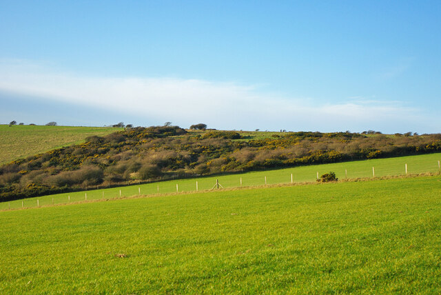
White Lion Pond is a charming freshwater marsh located in Sussex, England. Nestled amidst picturesque surroundings, this pond is a serene haven for nature enthusiasts and wildlife observers. With its tranquil ambiance and diverse ecosystem, White Lion Pond offers a unique and immersive experience for visitors.
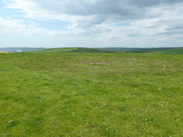
Spanning across an area of approximately 5 acres, White Lion Pond is a relatively small body of water. It is surrounded by lush greenery, providing a perfect habitat for a variety of plant and animal species. The pond itself is characterized by crystal-clear freshwater, giving it a pristine appearance.
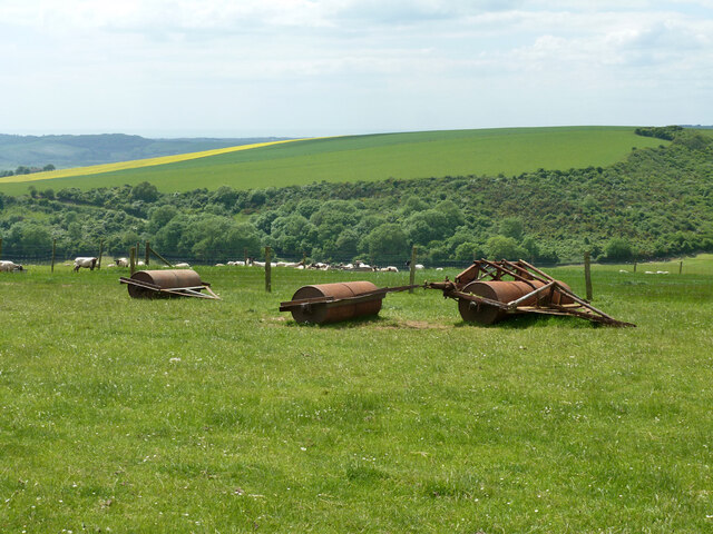
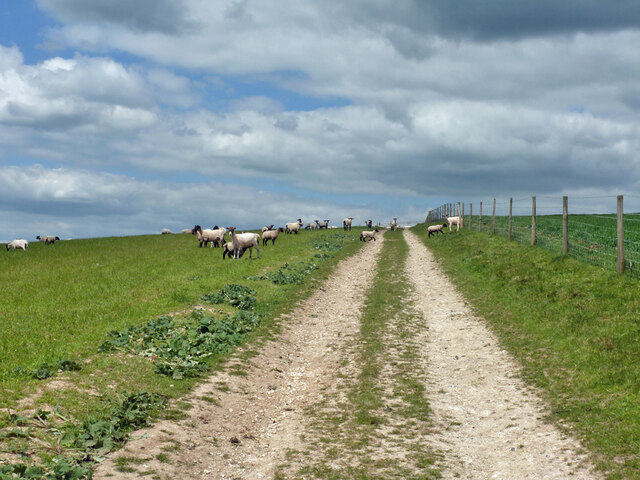
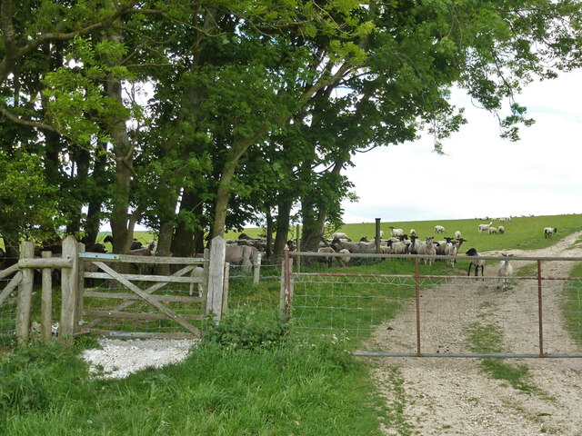
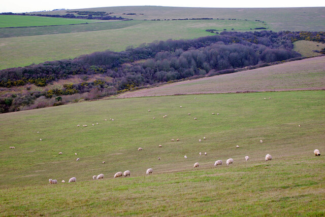
The diverse flora and fauna found in and around White Lion Pond make it a hotspot for nature lovers. The surrounding marshlands are home to an array of water-loving plants, including reeds, water lilies, and cattails. These plants not only add to the beauty of the pond but also provide essential shelter and nourishment for the wildlife that call this place home.
Birdwatchers are particularly drawn to White Lion Pond due to its rich avian population. Various species of waterfowl, such as ducks, swans, and geese, can be spotted gracefully gliding across the water. Additionally, the pond serves as a nesting ground for several bird species, including herons and kingfishers, which adds to the excitement of birdwatching enthusiasts.
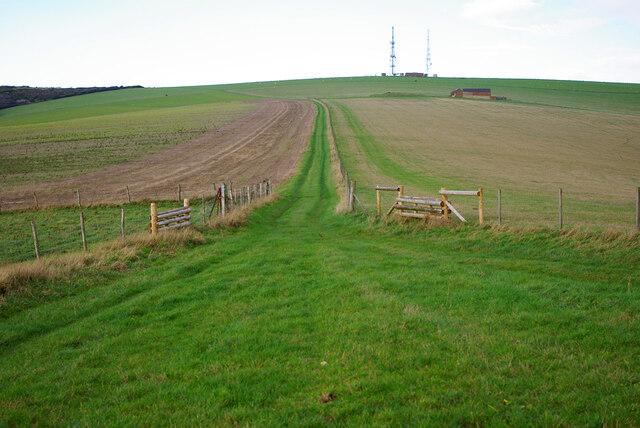
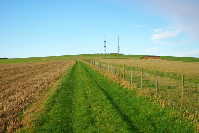
White Lion Pond is a popular destination for leisurely walks and picnics, offering a tranquil and idyllic setting for visitors to unwind and connect with nature. Whether it's the soothing sounds of water, the vibrant colors of blooming flowers, or the sight of diverse wildlife, this freshwater marsh promises a rejuvenating experience for all who visit.
If you have any feedback on the listing, please let us know in the comments section below.
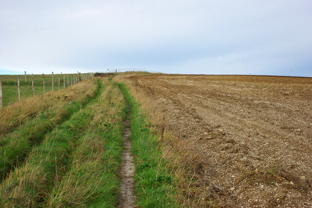
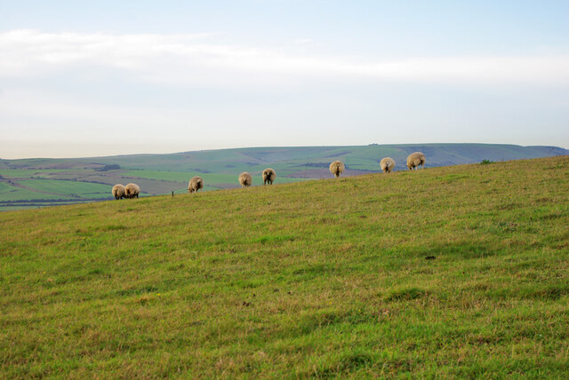
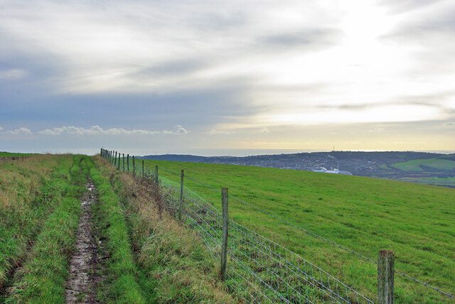
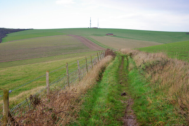
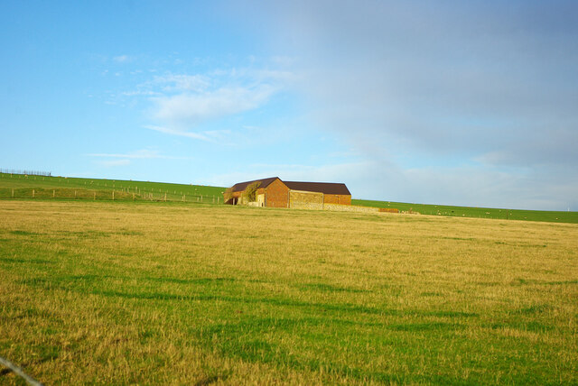
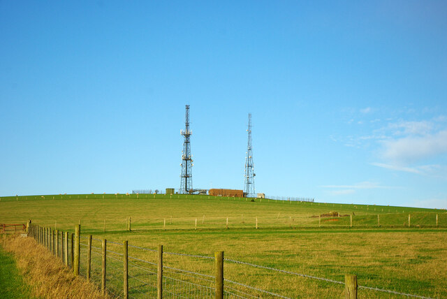
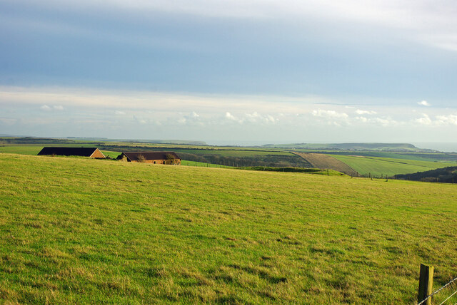
White Lion Pond Images
Images are sourced within 2km of 50.833725/0.063597085 or Grid Reference TQ4505. Thanks to Geograph Open Source API. All images are credited.

White Lion Pond is located at Grid Ref: TQ4505 (Lat: 50.833725, Lng: 0.063597085)
Administrative County: East Sussex
District: Lewes
Police Authority: Sussex
What 3 Words
///pounce.waltzes.paces. Near Newhaven, East Sussex
Nearby Locations
Related Wikis

Asham Quarry
Asham Quarry is a 2.6-hectare (6.4-acre) geological Site of Special Scientific Interest north of Newhaven in East Sussex. It is a Geological Conservation...

Firle Escarpment
Firle Escarpment is a 302.1-hectare (747-acre) biological Site of Special Scientific Interest north of Seaford in East Sussex.This is a long stretch of...
Tarring Neville
Tarring Neville is a village and civil parish in the Lewes District of East Sussex, England. The village is located five miles (8 km) south of Lewes, on...
Beddingham
Beddingham is an English village and civil parish in the Lewes district of East Sussex, at the junction between the London–Newhaven (A26) and south coast...
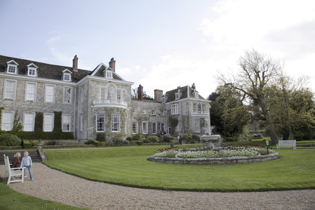
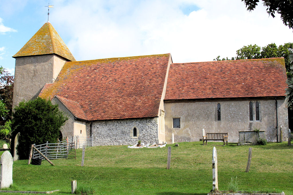
Firle Place
Firle Place is a Manor house in Firle, Sussex, United Kingdom. The Gage family have owned the land at Firle since acquiring it from the Levett family in...
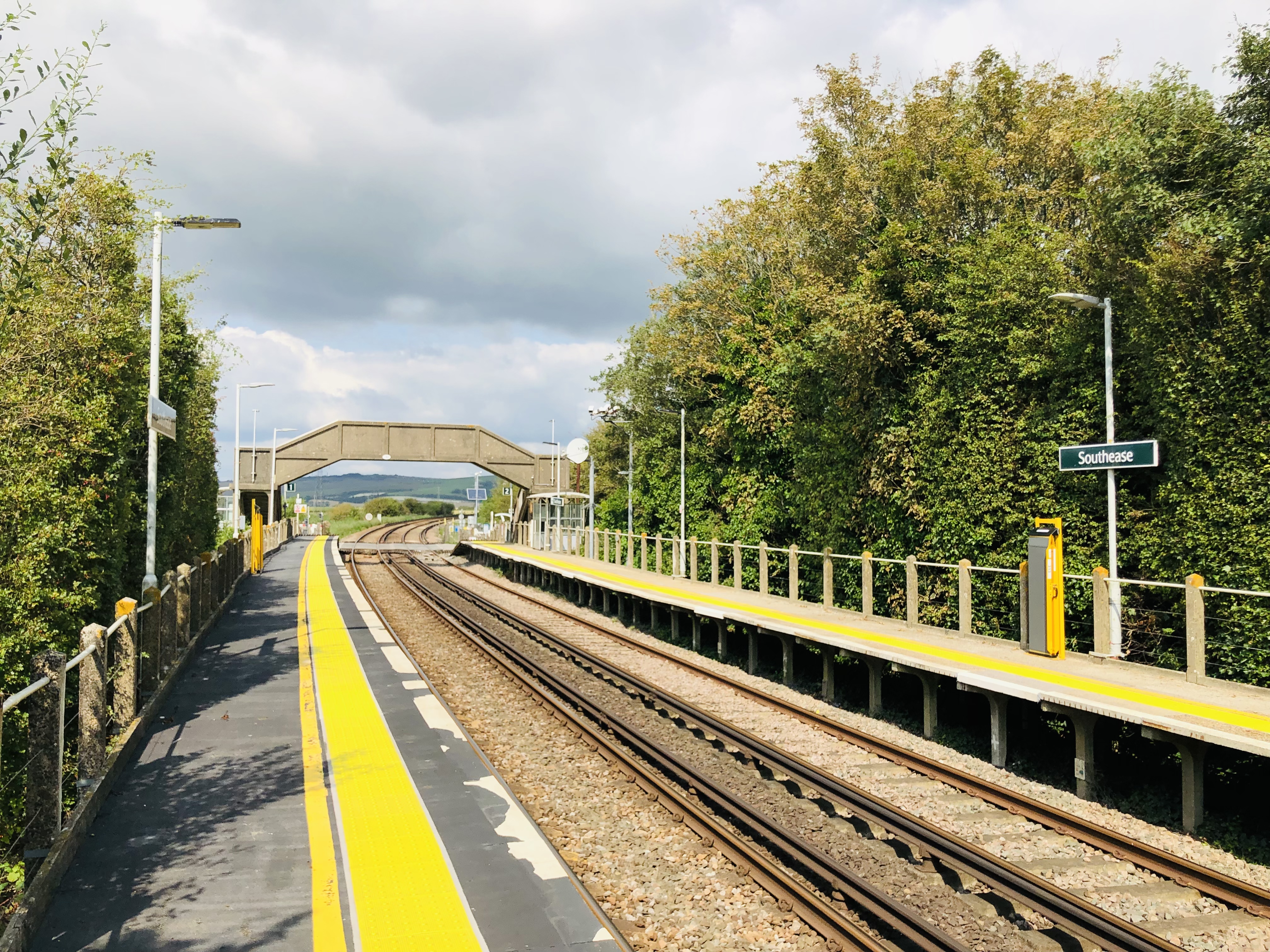
Southease railway station
Southease railway station is located 0.5 miles (800 m) east of the village of Southease in East Sussex, England. It is on the Seaford branch of the East...

Glynde Reach
Glynde Reach is a river in East Sussex, England and tributary of the River Ouse. The main channel is fed from sources near Laughton, Rushy Green on the...

Lewes and Laughton Levels
The Lewes and Laughton Levels are an area of low-lying land bordering the River Ouse near Lewes and the Glynde Reach near Laughton in East Sussex, England...
Nearby Amenities
Located within 500m of 50.833725,0.063597085Have you been to White Lion Pond?
Leave your review of White Lion Pond below (or comments, questions and feedback).