The Lake
Lake, Pool, Pond, Freshwater Marsh in Essex
England
The Lake

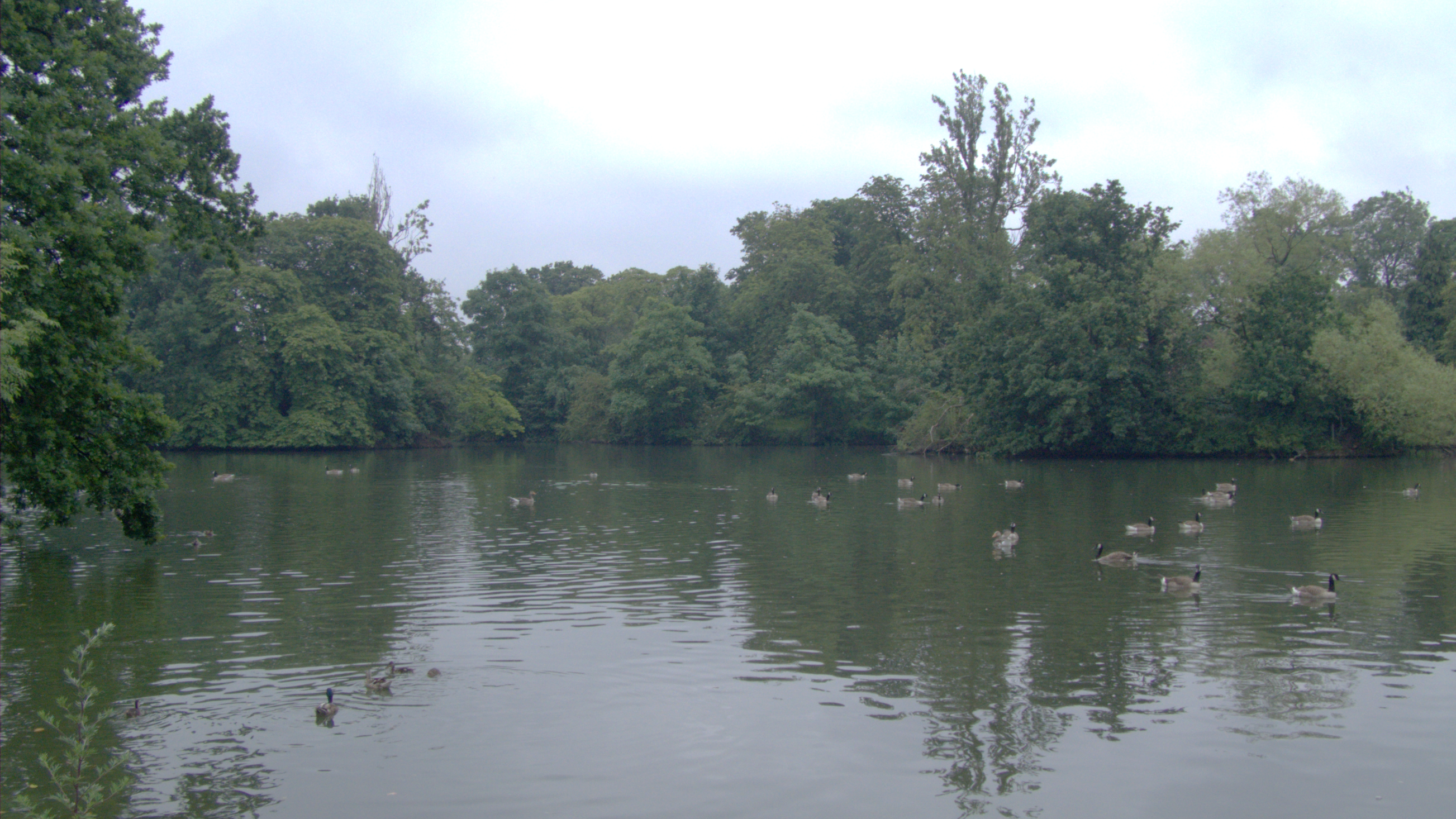
The Lake in Essex is a picturesque freshwater body located in the county of Essex, England. Spanning over a considerable area, it serves as a popular recreational spot for both locals and tourists. The lake is characterized by its serene ambiance and breathtaking natural beauty.
Surrounded by lush greenery, the lake offers a peaceful retreat from the hustle and bustle of city life. It is home to a diverse array of flora and fauna, making it an ideal spot for nature enthusiasts. The calm waters of the lake attract various water birds, adding to its enchanting charm.
With its crystal clear waters, the lake also serves as a haven for water sports enthusiasts. Visitors can indulge in activities like swimming, kayaking, and canoeing, making the most of the tranquil surroundings. Additionally, the lake is equipped with well-maintained facilities such as boat rentals and designated swimming areas, ensuring a safe and enjoyable experience for all.
The lake is also accompanied by a beautiful freshwater marsh, which further enhances its natural appeal. This marsh serves as a habitat for numerous species of plants and animals, creating a thriving ecosystem. Visitors can explore the marsh through designated walking trails and observe the diverse wildlife that calls it home.
Overall, The Lake in Essex offers a perfect blend of natural beauty and recreational opportunities. Whether one seeks tranquility or adventure, this freshwater oasis is sure to leave a lasting impression on all who visit.
If you have any feedback on the listing, please let us know in the comments section below.
The Lake Images
Images are sourced within 2km of 51.557205/0.092732599 or Grid Reference TQ4586. Thanks to Geograph Open Source API. All images are credited.


The Lake is located at Grid Ref: TQ4586 (Lat: 51.557205, Lng: 0.092732599)
Unitary Authority: Redbridge
Police Authority: Metropolitan
What 3 Words
///bench.bound.cove. Near Ilford, London
Nearby Locations
Related Wikis
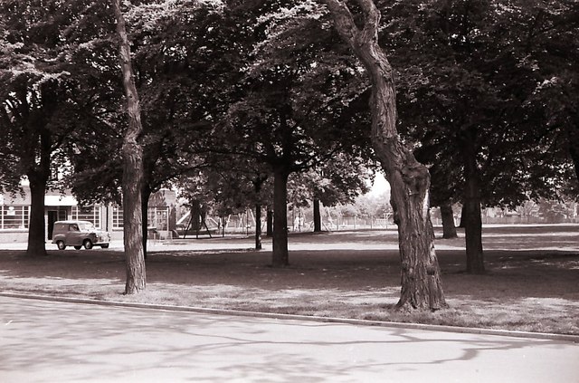
South Park, Ilford
South Park is an Edwardian park to the south of Ilford, East London. It is one of the largest open spaces in the London Borough of Redbridge. It has recently...

Ilford F.C.
Ilford Football Club is a football club based in Ilford, East London, England. Affiliated to the Essex County Football Association, they are currently...
Barkingside F.C.
Barkingside Football Club is a football club based in Barkingside, Greater London, England. The club are currently members of the Eastern Counties League...

East London
East London is the northeastern part of London, England, east of the ancient City of London and north of the River Thames as it begins to widen. East London...
Ilford
Ilford is a large town in east London, England, 9 miles (14 km) north-east of Charing Cross. Part of the London Borough of Redbridge, Ilford is within...
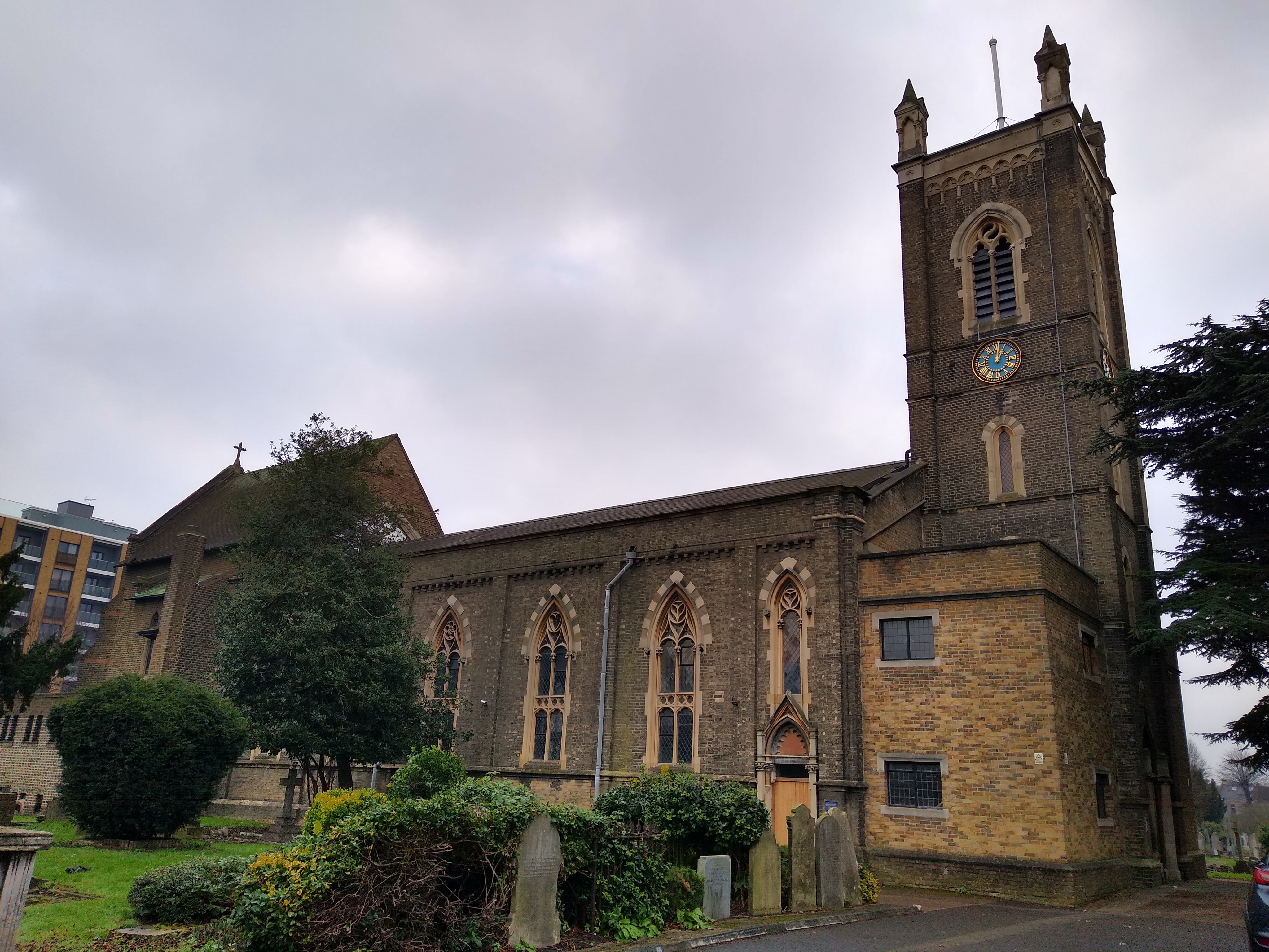
St Mary's Church, Ilford
St Mary's Church, Ilford or St Mary's Church, Great Ilford is a Church of England parish church in Ilford in the London Borough of Redbridge. A new ecclesiastical...

Seven Kings railway station
Seven Kings railway station is on the Great Eastern Main Line serving the district of Seven Kings in the London Borough of Redbridge, east London. It is...
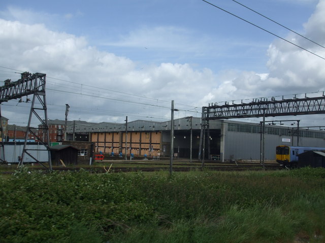
Ilford EMU Depot
Ilford EMU Depot is a traction maintenance depot located in Ilford, Greater London, England. The site is used for train stabling and maintenance by Greater...
Nearby Amenities
Located within 500m of 51.557205,0.092732599Have you been to The Lake?
Leave your review of The Lake below (or comments, questions and feedback).