Royal Albert Dock
Lake, Pool, Pond, Freshwater Marsh in Essex
England
Royal Albert Dock
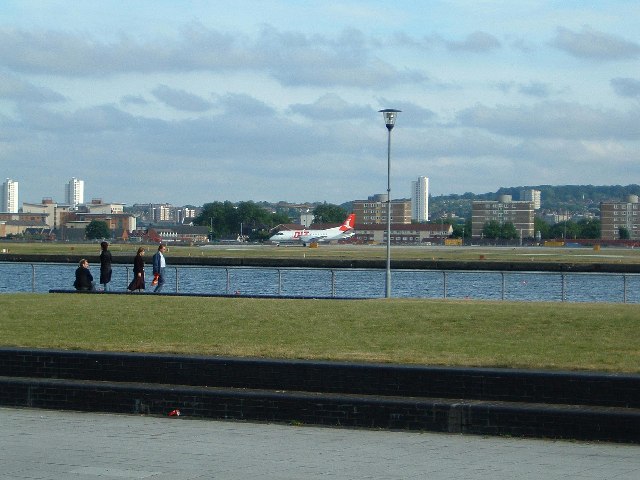
Royal Albert Dock is a large body of water located in Essex, England. It is a man-made dock that was constructed in the late 19th century and covers an area of approximately 23 acres. The dock was primarily built to accommodate the increasing demands of shipping and trade during the Industrial Revolution.
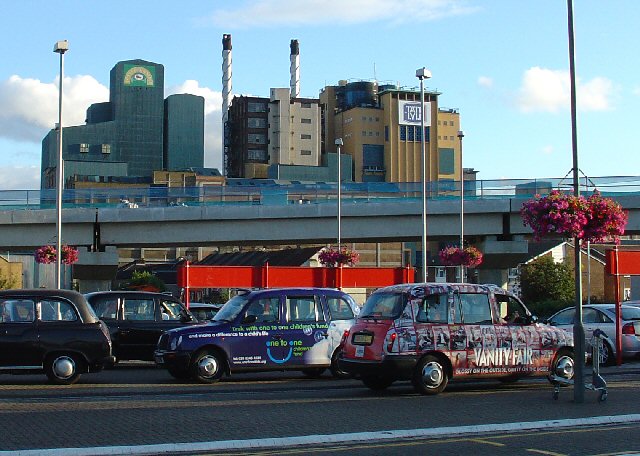
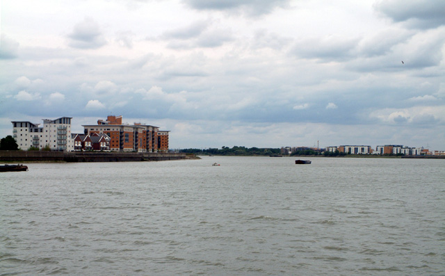
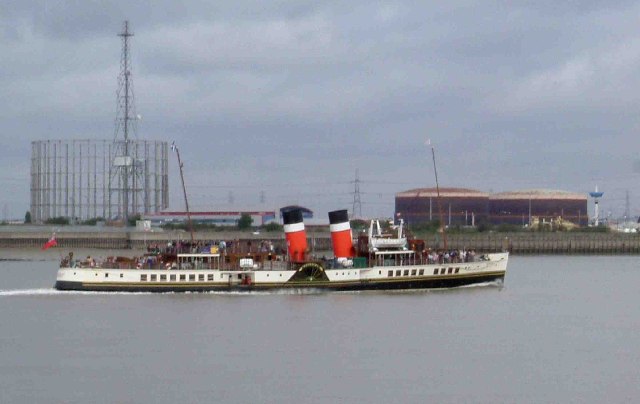
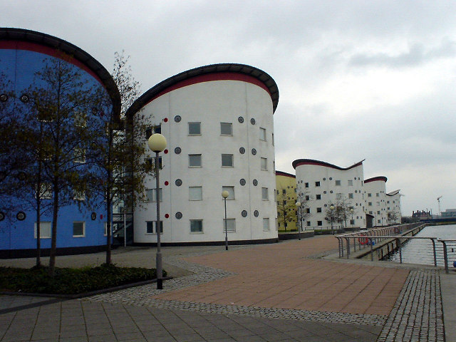
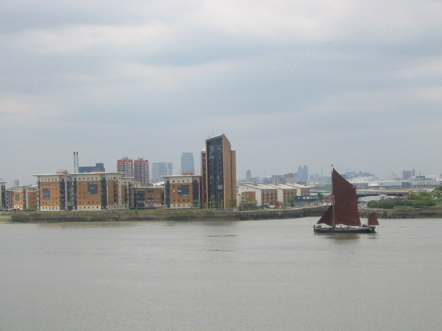
The water in Royal Albert Dock is a combination of freshwater and tidal water, making it a unique and diverse ecosystem. It is connected to the nearby River Thames, allowing for easy access to the open sea. The dock is surrounded by industrial buildings and warehouses, which reflect its historical significance as a thriving hub of trade and commerce.
The dock is home to a variety of aquatic life, including fish, mollusks, and crustaceans. It also supports a diverse range of bird species, making it an important site for birdwatching and wildlife enthusiasts. The surrounding area is adorned with lush greenery, creating a picturesque landscape that attracts visitors throughout the year.
In recent years, efforts have been made to restore and preserve the natural habitats of Royal Albert Dock. This has included the creation of freshwater marshes, pools, and ponds within the dock, providing a sanctuary for native flora and fauna. These conservation efforts have helped to maintain the ecological balance of the area and have made it a popular spot for educational visits and nature walks.
Overall, Royal Albert Dock is a fascinating and historically significant body of water in Essex. Its combination of industrial heritage and natural beauty make it a unique destination for both locals and tourists alike.
If you have any feedback on the listing, please let us know in the comments section below.
Royal Albert Dock Images
Images are sourced within 2km of 51.504808/0.059522689 or Grid Reference TQ4380. Thanks to Geograph Open Source API. All images are credited.


Royal Albert Dock is located at Grid Ref: TQ4380 (Lat: 51.504808, Lng: 0.059522689)
Unitary Authority: Newham
Police Authority: Metropolitan
What 3 Words
///flags.shack.sleeps. Near Woolwich, London
Nearby Locations
Related Wikis

King George V Dock, London
King George V Dock, in the London Borough of Newham, is one of three docks in the Royal Docks of east London, now part of the redeveloped Docklands....

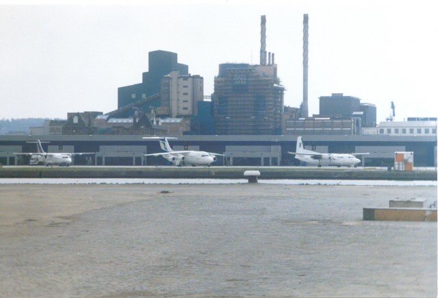
London City Airport
London City Airport (IATA: LCY, ICAO: EGLC) is an international airport in London, England. It is located in the Royal Docks in the Borough of Newham,...
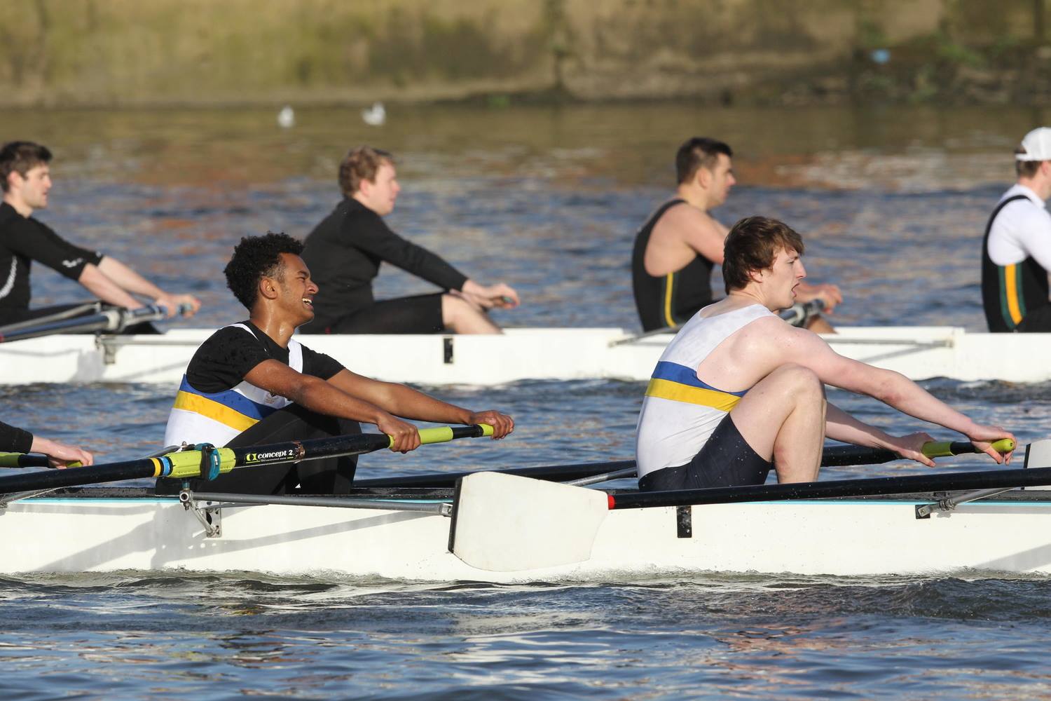
Queen Mary University of London Boat Club
Queen Mary University of London Boat Club (QMULBC) is the rowing club of Queen Mary University of London. The club was founded in 1910. Barts and The London...
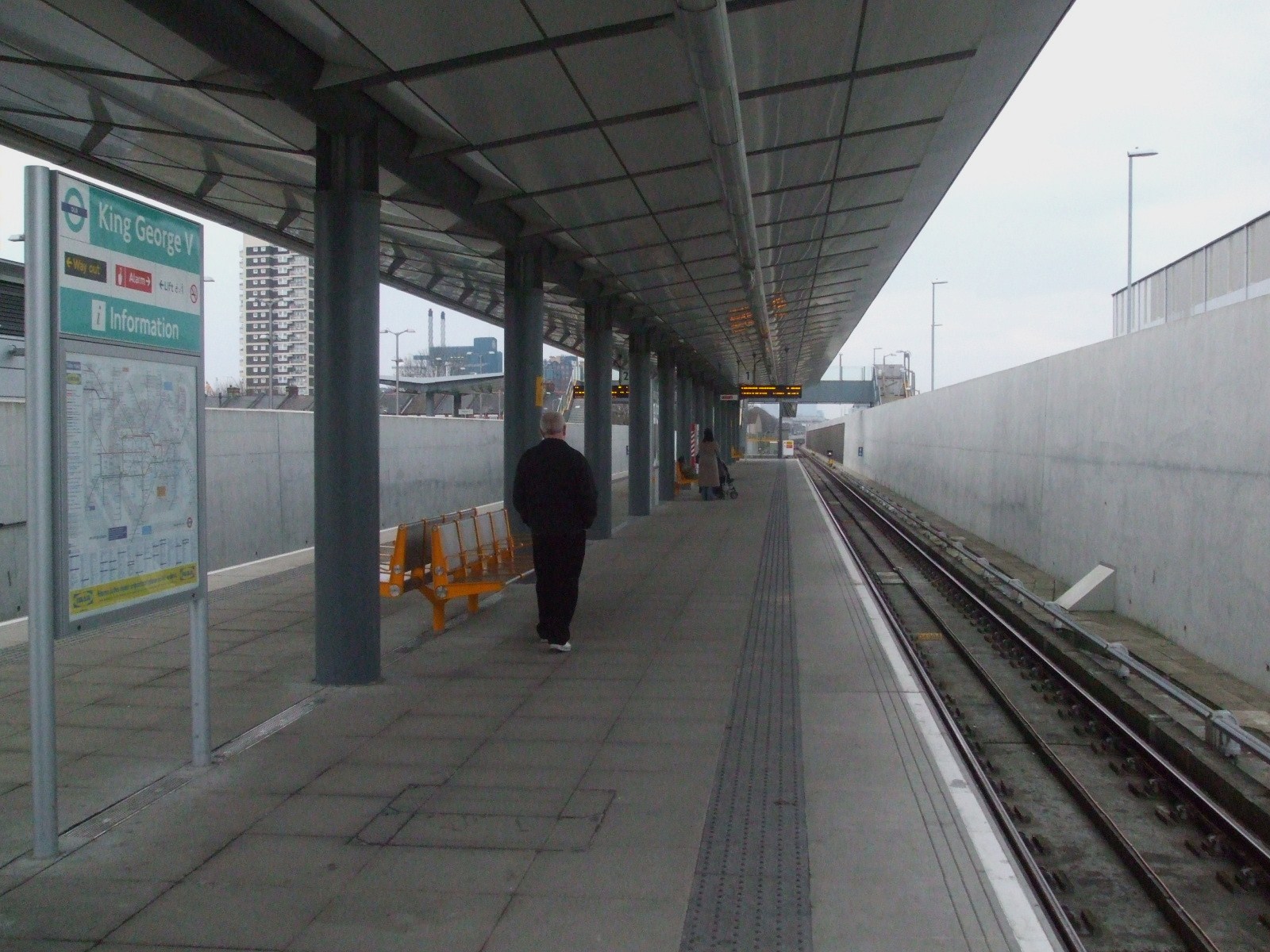
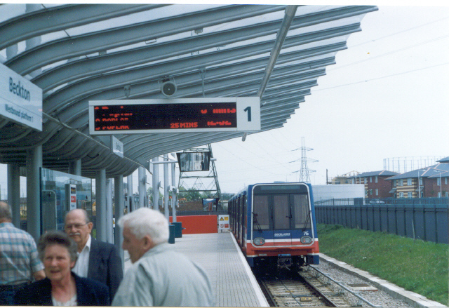
King George V DLR station
King George V is a Docklands Light Railway (DLR) station in North Woolwich, East London, which opened on 2 December 2005. The station replaced North Woolwich...
Royal Albert Dock, London
The Royal Albert Dock is one of three docks in the Royal Group of Docks of East London in the United Kingdom. == History == === 19th century - establishment... ===
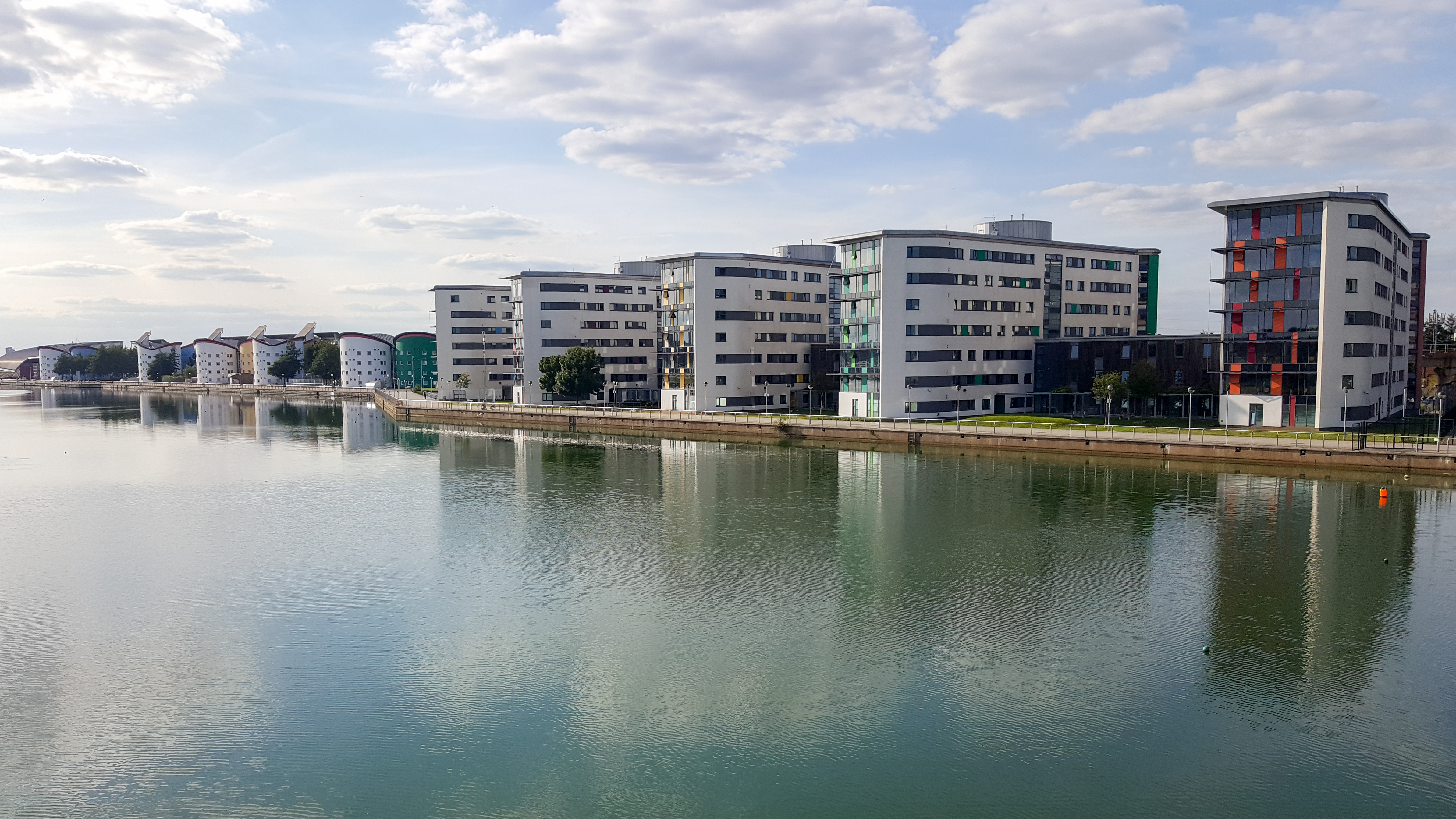
University of East London
University of East London (UEL) is a public university located in the London Borough of Newham, London, England, based at three campuses in Stratford and...

North Woolwich
North Woolwich is an area in the London Borough of Newham in East London, England, on the northern bank of the River Thames, across the river from Woolwich...
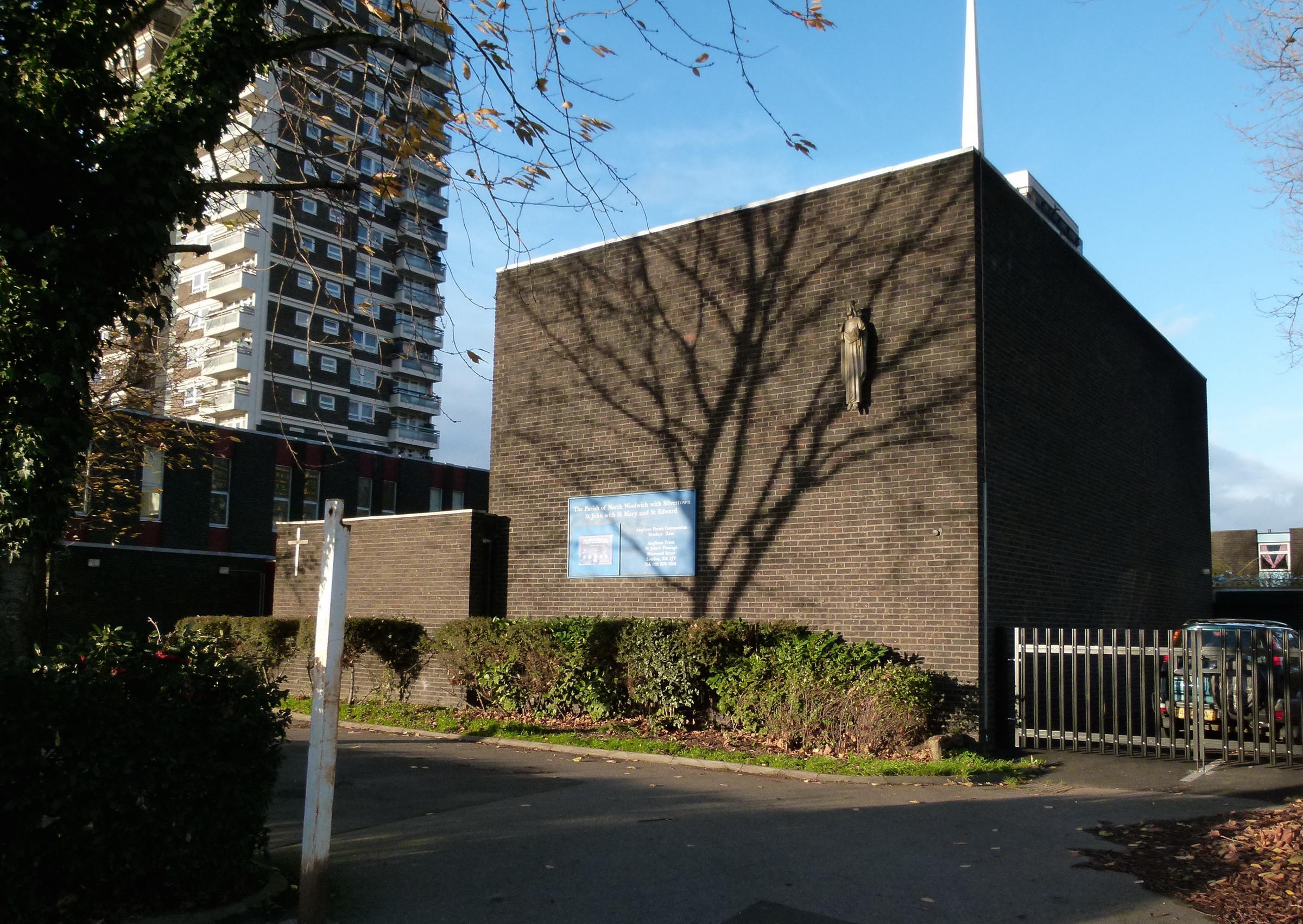
St John's Church, North Woolwich
St John's Church, North Woolwich is a Church of England church in North Woolwich, east London. It also hosts a Roman Catholic congregation and so is sometimes...
Nearby Amenities
Located within 500m of 51.504808,0.059522689Have you been to Royal Albert Dock?
Leave your review of Royal Albert Dock below (or comments, questions and feedback).