Broadmoor Pond

Lake, Pool, Pond, Freshwater Marsh in Hertfordshire North Hertfordshire

England

Broadmoor Pond

The Fox & Hounds Pub - Barley, Hertfordshire This pub was built in the 17th century. Its very interesting gantry sign is one of only two remaining in Hertfordshire.
The Fox & Hounds Pub - Barley, Hertfordshire Credit: Catherine Edwards

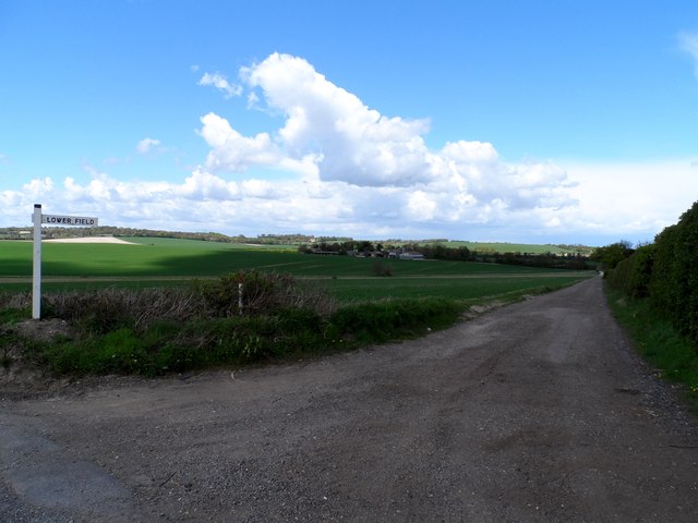
Broadmoor Pond, located in Hertfordshire, is a serene and picturesque body of water that serves as a vital freshwater ecosystem. Spanning an area of approximately 5 acres, this pond is surrounded by lush greenery and forms an essential part of the local landscape.

As a freshwater marsh, Broadmoor Pond is home to a diverse range of aquatic plants and animals. The pond's shallow waters provide a suitable habitat for various species of fish, including carp, roach, and perch. Additionally, the pond attracts a variety of bird species, such as ducks, swans, and herons, who rely on its abundant food sources and peaceful surroundings.

The pond's ecosystem is further enriched by the presence of various aquatic plants, including water lilies, reeds, and rushes. These plants not only add to the beauty of Broadmoor Pond but also play a crucial role in maintaining water quality and providing shelter and food for many organisms.

Broadmoor Pond offers a tranquil atmosphere, making it a popular spot for nature enthusiasts and local residents seeking a peaceful retreat. Visitors can enjoy leisurely walks around the pond's perimeter, taking in the scenic views and observing the wildlife. Additionally, fishing is permitted in the pond, providing anglers with an opportunity to catch freshwater fish in a serene setting.

Overall, Broadmoor Pond in Hertfordshire is a valuable freshwater ecosystem, serving as a haven for a wide range of plant and animal species. Its scenic beauty and recreational opportunities make it a cherished natural feature in the local community.

If you have any feedback on the listing, please let us know in the comments section below.

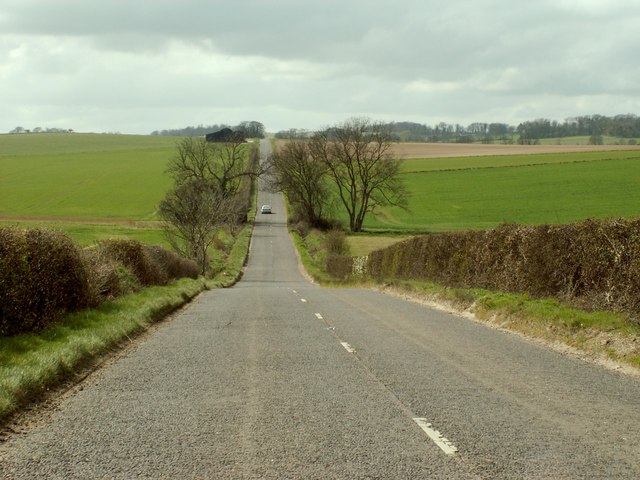
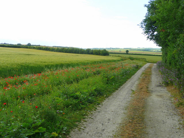
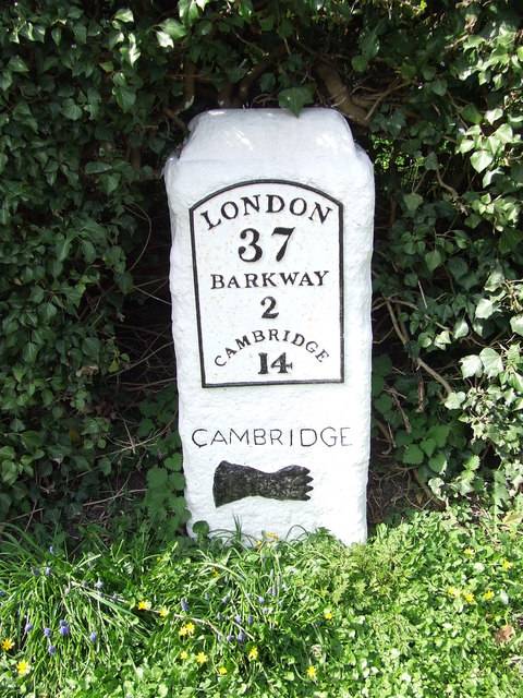
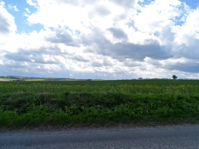
Broadmoor Pond Images

Images are sourced within 2km of 52.036608/0.035806011 or Grid Reference TL3939. Thanks to Geograph Open Source API. All images are credited.

The Fox & Hounds Pub - Barley, Hertfordshire This pub was built in the 17th century. Its very interesting gantry sign is one of only two remaining in Hertfordshire.
The Fox & Hounds Pub - Barley, Hertfordshire
This pub was built in the 17th century. Its very interesting gantry sign is one of only two remaining in Hertfordshire.
Footpath to Smith's End Farm
Cambridge Road south of Barley
The B.1039, heading towards Royston
The B.1039 between Barley and Royston
Entrance to the eastern section of Newsells Park Stud
Track and barley field Yes it is barley at Barley!
Track and barley field
Yes it is barley at Barley!
Track and footpath to Barley Looking south-east from the B1039 near Royston.
Track and footpath to Barley
Looking south-east from the B1039 near Royston.
Old Milestone Old milestone on the B1368 at Barley, Hertfordshire. For close up view see <a title="https://www.geograph.org.uk/photo/1792432" href="https://www.geograph.org.uk/photo/1792432">Link</a> and for more info see <span class="nowrap"><a title="http://milestones.megalithia.com/sites/tl398383.htm" rel="nofollow ugc noopener" href="http://milestones.megalithia.com/sites/tl398383.htm">Link</a><img style="margin-left:2px;" alt="External link" title="External link - shift click to open in new window" src="https://s1.geograph.org.uk/img/external.png" width="10" height="10"/></span> do look at their home page.
Old Milestone
Old milestone on the B1368 at Barley, Hertfordshire. For close up view see Link and for more info see LinkExternal link do look at their home page.
Old Milestone Old milestone on the B1368 at Barley, Hertfordshire. For overall view see <a title="https://www.geograph.org.uk/photo/1792426" href="https://www.geograph.org.uk/photo/1792426">Link</a> and for more info see <span class="nowrap"><a title="http://milestones.megalithia.com/sites/tl398383.htm" rel="nofollow ugc noopener" href="http://milestones.megalithia.com/sites/tl398383.htm">Link</a><img style="margin-left:2px;" alt="External link" title="External link - shift click to open in new window" src="https://s1.geograph.org.uk/img/external.png" width="10" height="10"/></span> do look at their home page.
Old Milestone
Old milestone on the B1368 at Barley, Hertfordshire. For overall view see Link and for more info see LinkExternal link do look at their home page.
Farm land adjacent to B1039 There is very little oil seed rape around this year apparently because of the unusually cold weather in March. The crop here is not as advanced as it usually is at this time of year. The transmitter mast near to Barkway (2.5 miles away) is visible in the distance.
Farm land adjacent to B1039
There is very little oil seed rape around this year apparently because of the unusually cold weather in March. The crop here is not as advanced as it usually is at this time of year. The transmitter mast near to Barkway (2.5 miles away) is visible in the distance.
Isolated barn and B1039
Track to Lowerfield Lower Field on the sign post but Lowerfield on the O.S. map.
Track to Lowerfield
Lower Field on the sign post but Lowerfield on the O.S. map.
High Street, Barley With petrol station sign.
High Street, Barley
With petrol station sign.
Fox and Hounds pub, Barley An update to Catherine Edwards' 2006 photo. See <a title="https://www.geograph.org.uk/photo/139202" href="https://www.geograph.org.uk/photo/139202">Link</a>
Fox and Hounds pub, Barley
An update to Catherine Edwards' 2006 photo. See Link
Early 20th Century Advertising Sign
The Chequers, Barley
Fox and Hounds Public House, Barley, Essex I liked the inn sign across the street.
Fox and Hounds Public House, Barley, Essex
I liked the inn sign across the street.
Show me another place!

Broadmoor Pond is located at Grid Ref: TL3939 (Lat: 52.036608, Lng: 0.035806011)

Administrative County: Hertfordshire

District: North Hertfordshire

Police Authority: Hertfordshire

What 3 Words

///usage.wink.roadblock. Near Royston, Hertfordshire

Nearby Locations

Broadmoor Pond

Related Wikis

Barley, Hertfordshire

Barley is a village and civil parish in the district of North Hertfordshire, England. According to the 2001 census, it has a population of 659, increasing...

Newsells Park

Newsells Park is a country house and estate at Barkway in Hertfordshire. == History == The estate and the original manor house, built in the late 17th...

Great Chishill

Great Chishill is a village and former civil parish, now in the parish of Great and Little Chishill, in the South Cambridgeshire district, in the county...

Goffers Knoll

Goffers Knoll is a prominent knoll on the Hertfordshire-Cambridgeshire border in the east of England, to the east of the town of Royston and south of Melbourn...

Little Chishill

Little Chishill is a village and former civil parish, now in the parish of Great and Little Chishill, in the South Cambridgeshire district, in the county...

Barkway Chalk Pit

Barkway Chalk Pit is a small (0.3 hectare) nature reserve in Barkway in North Hertfordshire. It was managed by the Herts and Middlesex Wildlife Trust...

Heydon, Cambridgeshire

Heydon is a village and civil parish in Cambridgeshire, England. The parish of Heydon was transferred from Essex to Cambridgeshire in 1894. The area of...

RAF Barkway

Royal Air Force Barkway or more simply RAF Barkway was one of the smallest Royal Air Force stations in the United Kingdom. It was a Communications Station...

Nearby Amenities

Located within 500m of 52.036608,0.035806011
Bench
Lat/Long: 52.0328164/0.0375078
The data included in this document is from www.openstreetmap.org. The data is made available under ODbL.

Have you been to Broadmoor Pond?

Leave your review of Broadmoor Pond below (or comments, questions and feedback).