Green End

Settlement in Bedfordshire

England

Green End

Roundabout on the A507, Clophill
Roundabout on the A507, Clophill Credit: David Howard

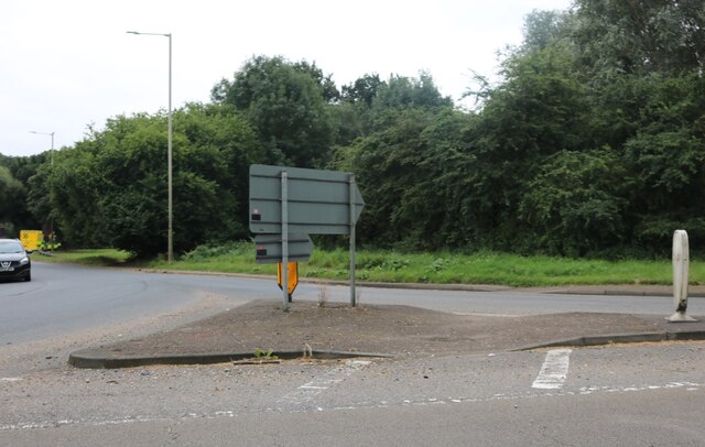
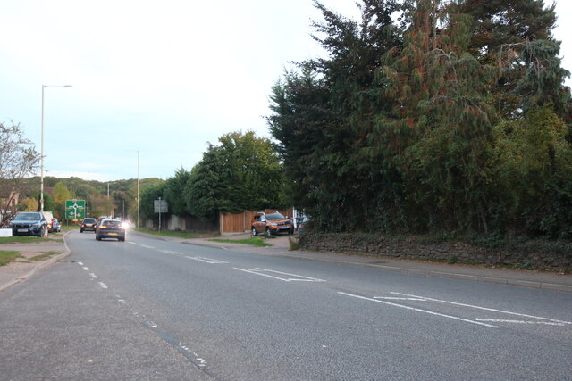
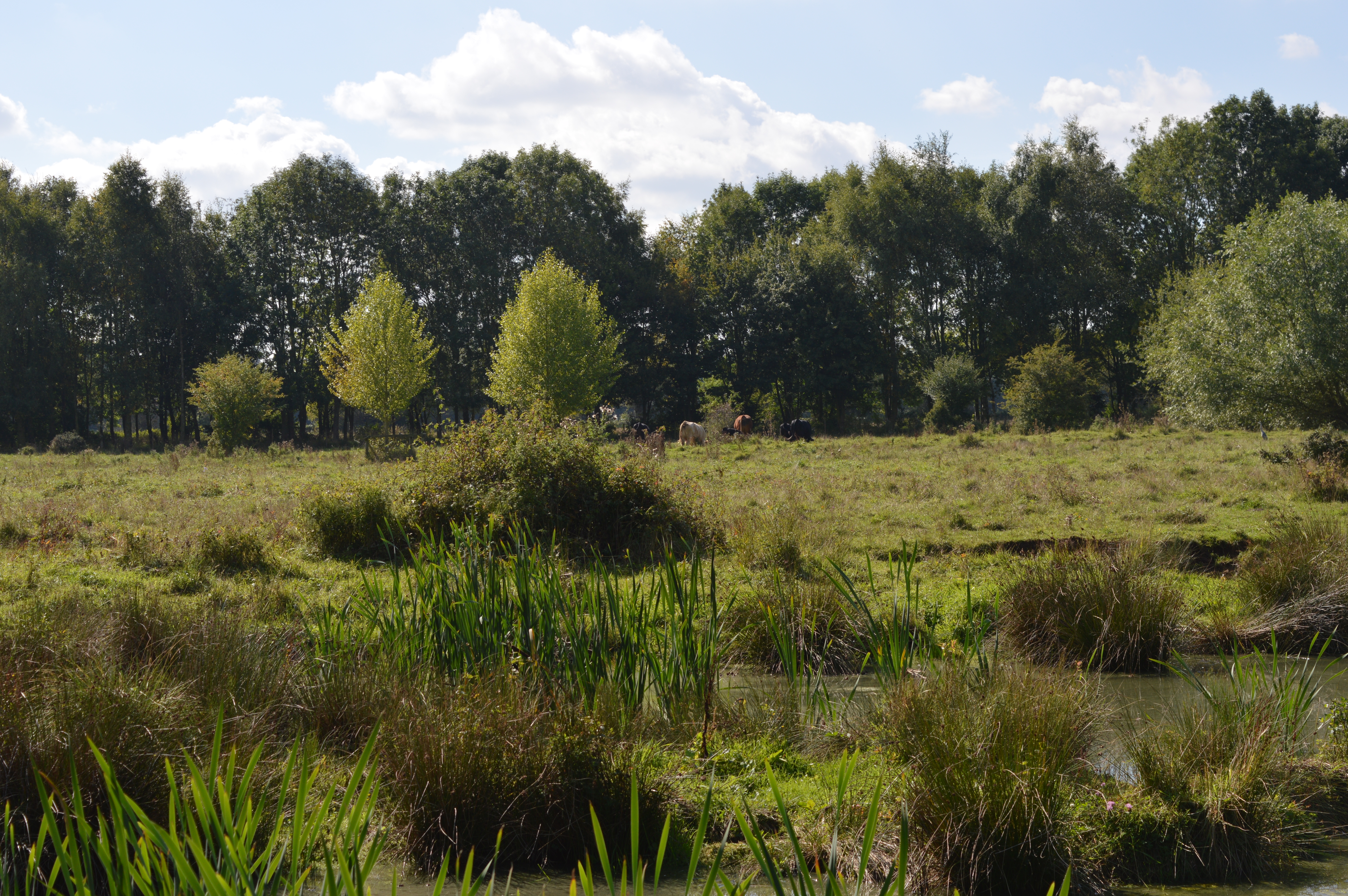
Green End is a small village located in the county of Bedfordshire, England. Situated approximately 5 miles west of the town of Bedford, it is part of the civil parish of Renhold. The village is set amidst picturesque countryside and is known for its tranquil and rural atmosphere.

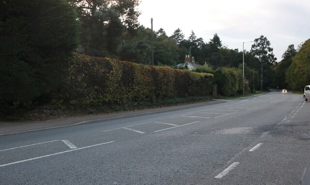
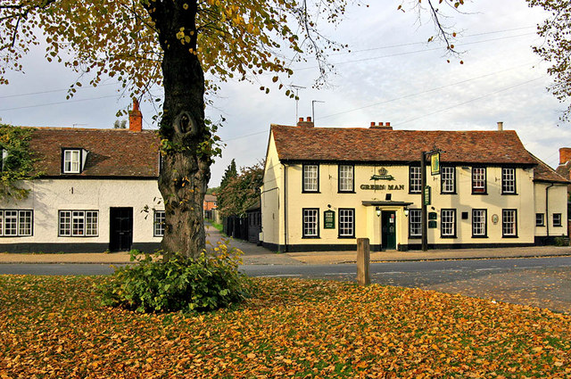
One of the notable features of Green End is its traditional architecture. The village is characterized by a charming mix of well-preserved cottages and houses, many of which date back several centuries. This adds to the village's charm and gives it a distinct sense of history.

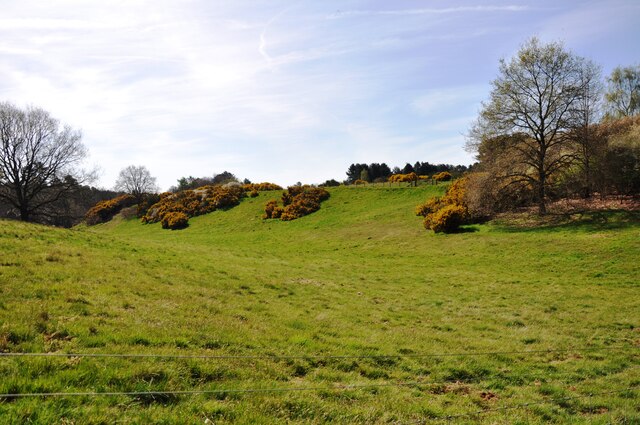
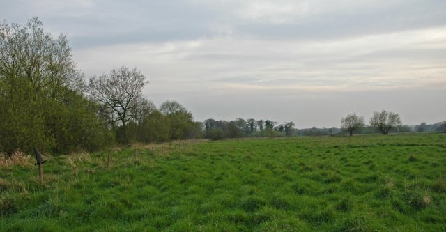
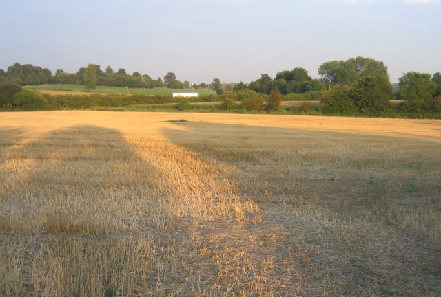
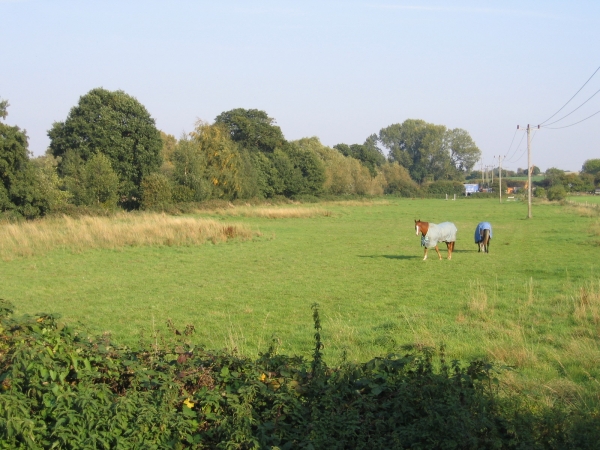
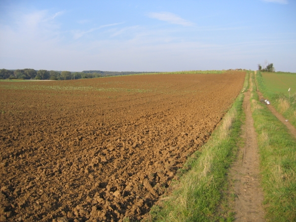
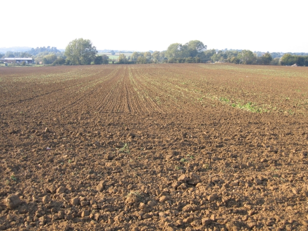
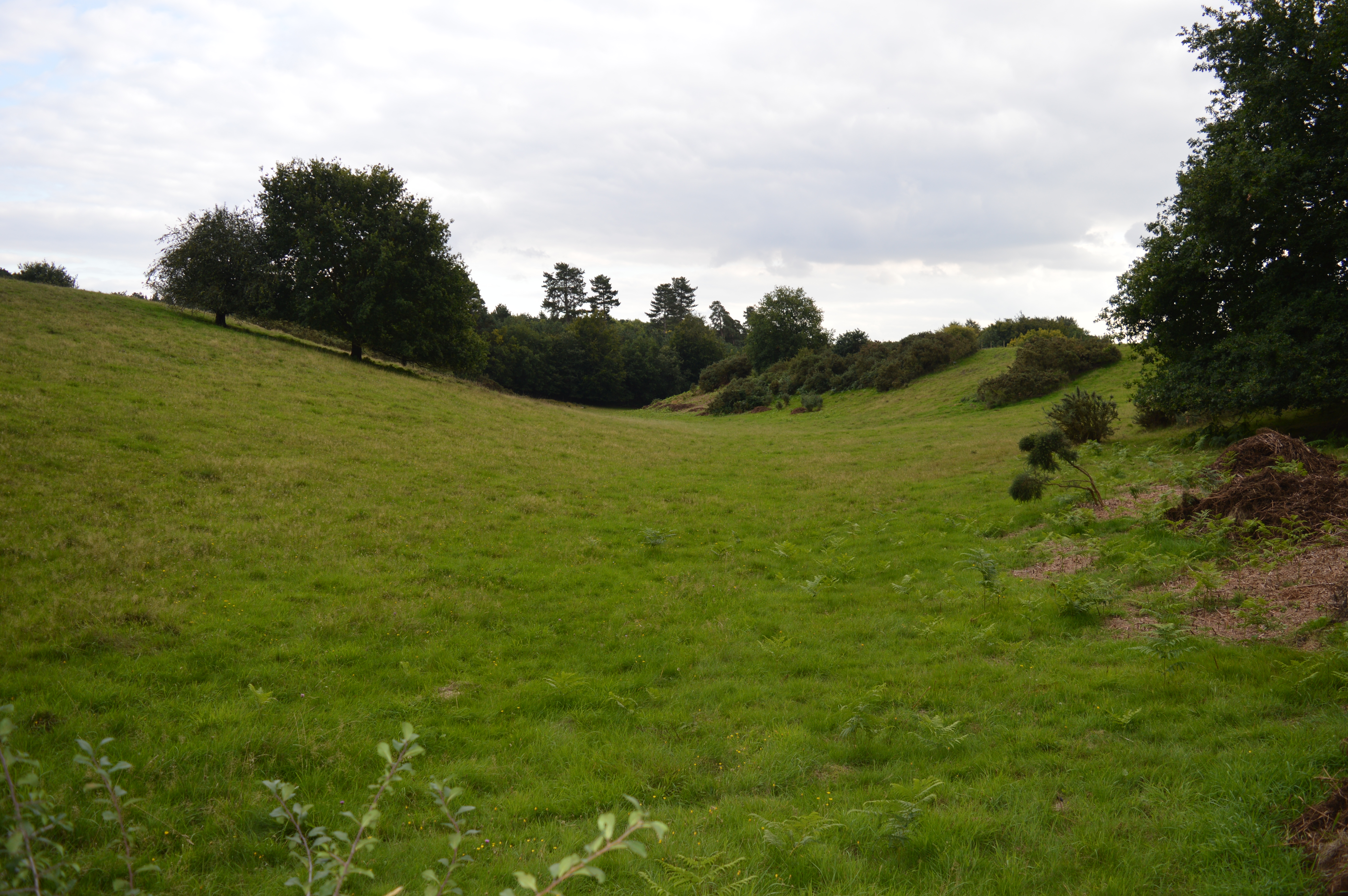
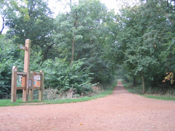
The village is surrounded by lush green fields and meadows, making it an ideal location for those seeking a peaceful countryside retreat. The area is also home to a variety of wildlife, including deer, foxes, and a wide range of bird species, making it a haven for nature lovers.

Green End benefits from its proximity to the town of Bedford, where residents can access a wider range of amenities and services. The town offers a variety of shops, restaurants, and leisure facilities, as well as excellent transport links to other parts of the country.

In summary, Green End is a quaint and idyllic village in Bedfordshire, known for its traditional architecture, rural surroundings, and peaceful atmosphere. It provides residents with a charming countryside lifestyle while still offering easy access to the nearby town of Bedford.

If you have any feedback on the listing, please let us know in the comments section below.

Green End Images

Images are sourced within 2km of 52.028747/-0.444691 or Grid Reference TL0637. Thanks to Geograph Open Source API. All images are credited.

Roundabout on the A507, Clophill
Gorse bushes in flower Gorse bushes in flower in the 'hidden valley' near Maulden Wood.
Gorse bushes in flower
Gorse bushes in flower in the 'hidden valley' near Maulden Wood.
Path in Maulden Wood A path going south from the A6 entrance to Maulden Wood.
Path in Maulden Wood
A path going south from the A6 entrance to Maulden Wood.
Lone tree on the footpath A lone tree on a footpath in Maulden Wood.
Lone tree on the footpath
A lone tree on a footpath in Maulden Wood.
A6 southbound on Deadman's Hill
Bedford Road, Clophill
Flitton Nature Reserve Part of Flitton Nature Reserve, bordered to the right by the A507.
Flitton Nature Reserve
Part of Flitton Nature Reserve, bordered to the right by the A507.
Hidden by-pass, Silsoe, Beds The A6 Silsoe by-pass is largely hidden by hedges to the north of the village; view from the old A6 of a passing lorry, with low evening sunlight casting long shadows.
Hidden by-pass, Silsoe, Beds
The A6 Silsoe by-pass is largely hidden by hedges to the north of the village; view from the old A6 of a passing lorry, with low evening sunlight casting long shadows.
River Flit meadows, Flitton, Beds – the river flows through the trees on the left.
River Flit meadows, Flitton, Beds
– the river flows through the trees on the left.
Farmland NW of Silsoe, Beds View NE from near the Ampthill Road.
Farmland NW of Silsoe, Beds
View NE from near the Ampthill Road.
Farmland NW of Silsoe, Beds View NW from near the Ampthill Road.
Farmland NW of Silsoe, Beds
View NW from near the Ampthill Road.
Deadman's Hill, Clophill, Beds The A6 cuts through the Greensand ridge north of the village.
Deadman's Hill, Clophill, Beds
The A6 cuts through the Greensand ridge north of the village.
Maulden Wood, Beds Trail guide near the A6 lay-by north of Clophill.
Maulden Wood, Beds
Trail guide near the A6 lay-by north of Clophill.
Maulden Wood, Beds Undulating ride along the Greensand ridge with autumn colours just appearing.
Maulden Wood, Beds
Undulating ride along the Greensand ridge with autumn colours just appearing.
Maulden Wood and farmland, Maulden, Beds View W along the boulder-clay capped Greensand ridge.
Maulden Wood and farmland, Maulden, Beds
View W along the boulder-clay capped Greensand ridge.
Clophill village green and High St, Beds View towards the A6 with the Flying Horse pub on the corner.
Clophill village green and High St, Beds
View towards the A6 with the Flying Horse pub on the corner.
Oxley's Cottages, beside the A6, Haynes, Beds View N from the Deadman's Hill lay-by, site of the 1961 A6 Hanratty murder; compare view with a contemporary one at <span class="nowrap"><a title="http://news.bbc.co.uk/onthisday/hi/dates/stories/august/23/newsid_3013000/3013236.stm" rel="nofollow ugc noopener" href="http://news.bbc.co.uk/onthisday/hi/dates/stories/august/23/newsid_3013000/3013236.stm">Link</a><img style="margin-left:2px;" alt="External link" title="External link - shift click to open in new window" src="https://s1.geograph.org.uk/img/external.png" width="10" height="10"/></span>
Oxley's Cottages, beside the A6, Haynes, Beds
View N from the Deadman's Hill lay-by, site of the 1961 A6 Hanratty murder; compare view with a contemporary one at LinkExternal link
Show me another place!

Green End is located at Grid Ref: TL0637 (Lat: 52.028747, Lng: -0.444691)

Unitary Authority: Central Bedfordshire

Police Authority: Bedfordshire

What 3 Words

///regulator.turntable.avoid. Near Clophill, Bedfordshire

Nearby Locations

Green End

Related Wikis

Maulden Heath

Maulden Heath is a 7.6-hectare (19-acre) Site of Special Scientific Interest in Maulden in Bedfordshire. It was notified in 1986 under Section 28 of the...

Maulden Church Meadow

Maulden Church Meadow is a 4.1-hectare (10-acre) biological Site of Special Scientific Interest in Maulden in Bedfordshire. It was notified in 1987 under...

Ailesbury Mausoleum

The Ailesbury Mausoleum situated in the churchyard of St Mary's Church, Maulden, in Bedfordshire, is a Grade II listed structure built in 1656 by Thomas...

Maulden Wood

Maulden Wood is a woodland situated in Bedfordshire, England, near the village of Maulden, on the greensand ridge that stretches from Leighton Buzzard...

Clophill

Clophill is a village and civil parish clustered on the north bank of the River Flit, Bedfordshire, England. It is recorded in the Domesday Book of 1086...

Maulden

Maulden is a village and civil parish located in the county of Bedfordshire. The village is located 1.5 miles east of Ampthill and about 8 miles (13 km...

Flitton Moor

Flitton Moor is a 6.9 hectare Local Nature Reserve and County Wildlife Site in Flitton in Bedfordshire. It is owned by Central Bedfordshire Council and...

De Grey Mausoleum

The de Grey Mausoleum in Flitton, Bedfordshire, England, is one of the largest sepulchral chapels in the country. The mausoleum contains over twenty monuments...

Nearby Amenities

Located within 500m of 52.028747,-0.444691
Barrier: kissing_gate
Lat/Long: 52.0287836/-0.4466511
Barrier: kissing_gate
Bicycle: no
Foot: yes
Source: GPS, observation
Lat/Long: 52.0293862/-0.4489849
Barrier: kissing_gate
Bicycle: no
Foot: yes
Source: GPS, observation
Lat/Long: 52.0294362/-0.4508246
Barrier: kissing_gate
Bicycle: no
Foot: yes
Source: GPS, observation
Lat/Long: 52.0296578/-0.4518147
Turning Circle
Turning Circle: knuckle
Lat/Long: 52.0275696/-0.4387983
Green End
Place: locality
Source: OS_OpenData_StreetView
Lat/Long: 52.0280487/-0.4453361
Pub
Dog and Badger
Addr City: Maulden
Addr Country: GB
Addr Housenumber: 109
Addr Postcode: MK45 2AD
Addr Street: Clophill Road
Fhrs Authority: Central Bedfordshire
Fhrs Id: 450297
Fhrs Local Authority Id: 1677
Lat/Long: 52.0267982/-0.4385861
Barrier: cycle_barrier
Bicycle: no
Foot: yes
Source: GPS, observation
Lat/Long: 52.0287123/-0.4462762
Barrier: kissing_gate
Bicycle: no
Foot: yes
Source: GPS, observation
Lat/Long: 52.0303277/-0.4386763
Barrier: cycle_barrier
Lat/Long: 52.0326588/-0.4429778
Post Box
Collection Times: Mo-Fr 17:15; Sa 12:45
Operator: Royal Mail
Post Box Type: lamp
Ref: MK45 278
Royal Cypher: EIIR
Royal Cypher Wikidata: Q33102113
Source: survey
Survey Date: 2016-12-12
Lat/Long: 52.0269481/-0.4486612
Direction: 180
Generator Method: photovoltaic
Generator Output Electricity: yes
Generator Solar Modules: 16
Generator Source: solar
Generator Type: solar_photovoltaic_panel
Location: roof
Power: generator
Lat/Long: 52.027325/-0.4438978
Turning Circle
Turning Circle: hammer
Lat/Long: 52.0273779/-0.4387926
Direction: 180
Generator Method: photovoltaic
Generator Output Electricity: yes
Generator Solar Modules: 16
Generator Source: solar
Generator Type: solar_photovoltaic_panel
Location: roof
Power: generator
Lat/Long: 52.0277378/-0.4387555
Bus Stop
Bus: yes
Public Transport: platform
Lat/Long: 52.0271085/-0.4513896
Bus Stop
Bus: yes
Naptan AtcoCode: 021020059
Naptan NaptanCode: ahlagdpt
Public Transport: platform
Lat/Long: 52.0270051/-0.45096
Waste Basket
Waste: dog_excrement
Lat/Long: 52.0286731/-0.4460641
Bus Stop
Bus: yes
Naptan AtcoCode: 021020061
Naptan NaptanCode: ahlagdta
Public Transport: platform
Lat/Long: 52.0270802/-0.447149
The data included in this document is from www.openstreetmap.org. The data is made available under ODbL.

Have you been to Green End?

Leave your review of Green End below (or comments, questions and feedback).