Millwall Outer Dock
Lake, Pool, Pond, Freshwater Marsh in Middlesex
England
Millwall Outer Dock

Millwall Outer Dock, located in Middlesex, is an artificial body of water that serves as a lake, pool, pond, and freshwater marsh. It was originally constructed in the late 19th century as part of the larger Millwall Docks complex, which played a significant role in London's maritime history.
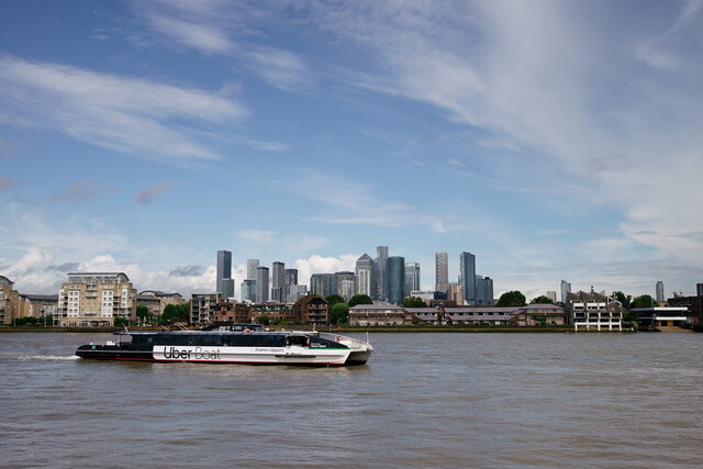
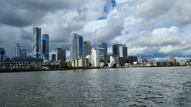
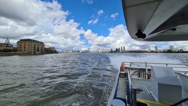
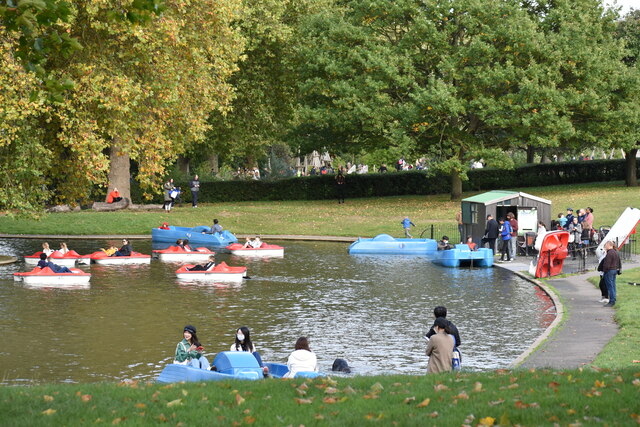
The Outer Dock covers an area of approximately 30 acres and is situated adjacent to the River Thames, providing a direct link for ships and barges to access the dock. It was primarily used for the loading and unloading of cargo, particularly timber and grain, during its operational years. Today, it serves a more recreational purpose, offering a tranquil setting for visitors to enjoy various water activities.
The lake within the dock is relatively shallow, with an average depth of around 3 meters. It is home to a diverse range of flora and fauna, including various species of aquatic plants, fish, and waterfowl. The surrounding areas of the Outer Dock feature well-maintained footpaths and green spaces, making it an ideal spot for leisurely walks and picnics.
The freshwater marsh area of Millwall Outer Dock provides a habitat for wetland plants, such as reeds and rushes, and attracts a variety of bird species. It acts as a vital breeding ground and feeding area for these birds, adding to the ecological value of the site.
Overall, Millwall Outer Dock offers a unique blend of industrial heritage and natural beauty. Whether it is for a peaceful stroll, birdwatching, or simply enjoying the scenic views, this multi-purpose body of water has become a popular destination for both locals and tourists alike.
If you have any feedback on the listing, please let us know in the comments section below.
Millwall Outer Dock Images
Images are sourced within 2km of 51.494451/-0.017355788 or Grid Reference TQ3779. Thanks to Geograph Open Source API. All images are credited.


Millwall Outer Dock is located at Grid Ref: TQ3779 (Lat: 51.494451, Lng: -0.017355788)
Unitary Authority: Tower Hamlets
Police Authority: Metropolitan
What 3 Words
///power.caked.change. Near Canary Wharf, London
Nearby Locations
Related Wikis

Millwall Dock
Millwall Dock is a dock at Millwall, London, England, located south of Canary Wharf on the Isle of Dogs. == History == The scheme was developed speculatively...
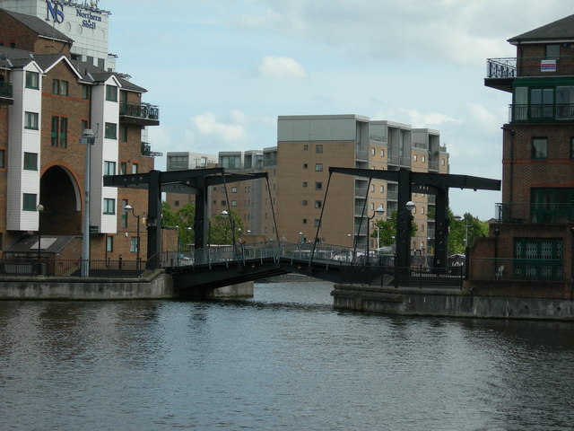
Glengall Bridge
Glengall Bridge is a bridge in the Millwall Inner Dock, Isle of Dogs, London, England, near the Crossharbour DLR station. It is located in the London Borough...
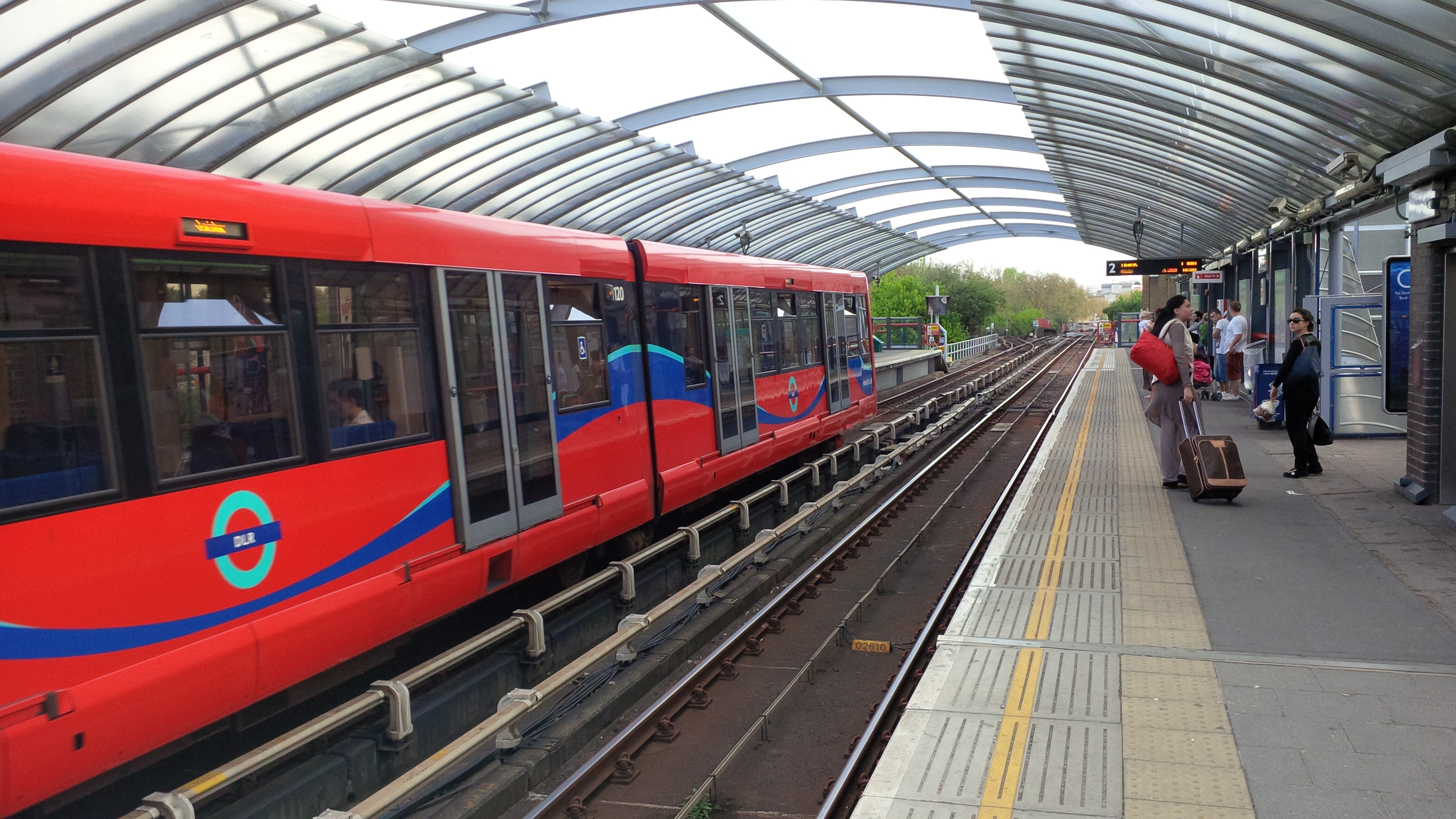
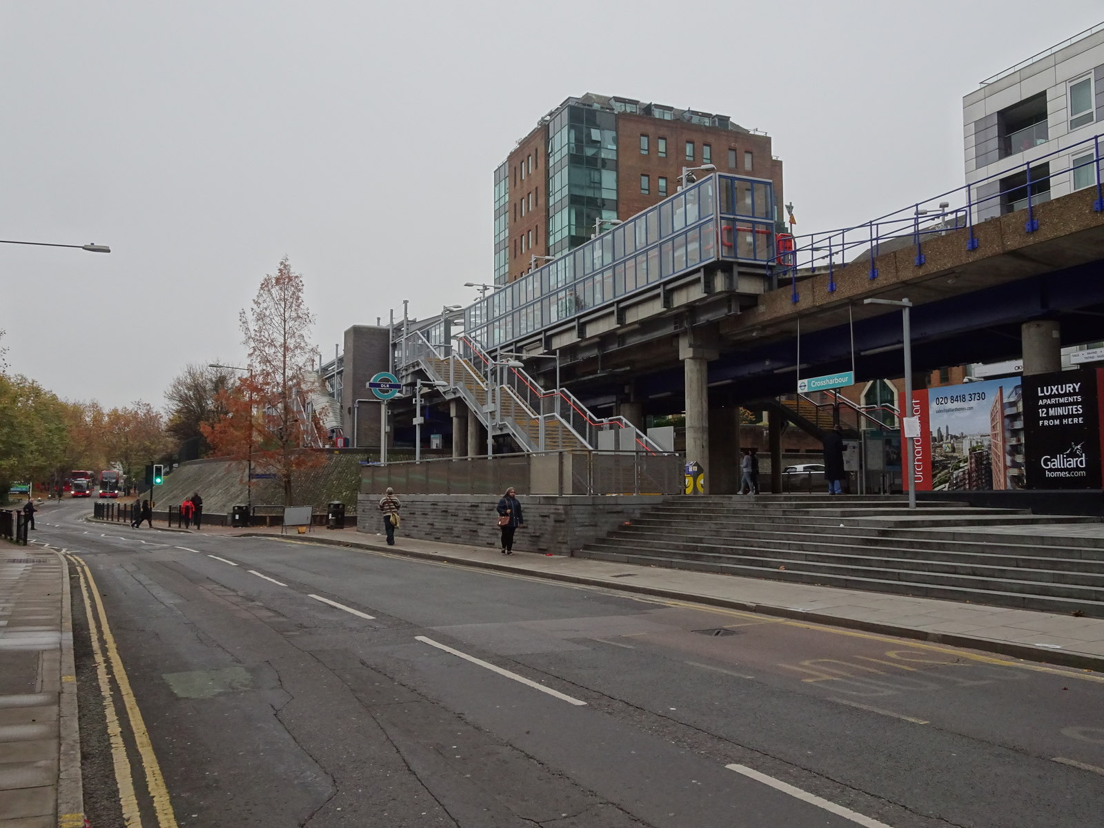
Crossharbour DLR station
Crossharbour is a light metro station on the Docklands Light Railway (DLR) Bank-Lewisham Line in Cubitt Town, East London. The station is situated on the...
Millwall Docks railway station
Millwall Docks was a railway station located in the Millwall area of the Isle of Dogs in east London. It was between South Dock and North Greenwich stations...
Nearby Amenities
Located within 500m of 51.494451,-0.017355788Have you been to Millwall Outer Dock?
Leave your review of Millwall Outer Dock below (or comments, questions and feedback).