Lairstall Pond

Lake, Pool, Pond, Freshwater Marsh in Cambridgeshire South Cambridgeshire

England

Lairstall Pond

Ramper Road near Highfield Farm Cottages This is the road from Longstanton to Boxworth End and Swavesey, in the Cambridgeshire Fens. Farming here is largely arable, so it was a pleasure to see cattle in the field on the right.
Ramper Road near Highfield Farm Cottages Credit: John Sutton

Lairstall Pond is a picturesque freshwater body located in the county of Cambridgeshire, England. This natural marvel is classified as a pond, but due to its substantial size and depth, it often resembles a small lake. Nestled within the charming village of Lairstall, the pond spans an impressive area of approximately 5 acres.

Surrounded by lush vegetation and bordered by reed beds, Lairstall Pond is a haven for a variety of wildlife species. Its crystal-clear waters support a diverse ecosystem, making it a popular destination for nature enthusiasts and birdwatchers. The pond boasts an abundance of fish, including roach, bream, and perch, making it a favorite spot for anglers as well.

With its tranquil setting and stunning views, Lairstall Pond offers a peaceful retreat for locals and visitors alike. Its calm waters provide an idyllic environment for boating and kayaking enthusiasts, while the well-maintained footpaths surrounding the pond are perfect for leisurely walks or picnics.

Furthermore, the pond serves as a freshwater marsh during certain times of the year, attracting a wide range of waterfowl and wading birds. Species such as mallards, swans, herons, and moorhens can often be spotted gracefully gliding across the pond's surface or nesting along its banks.

Lairstall Pond is a true gem of Cambridgeshire, offering a serene escape from the hustle and bustle of everyday life. Its natural beauty and diverse ecosystem make it a cherished destination for nature lovers and an integral part of the local community.

If you have any feedback on the listing, please let us know in the comments section below.

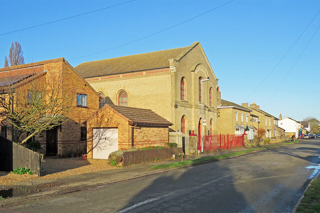
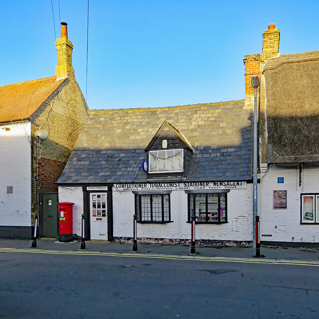
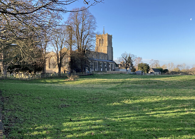
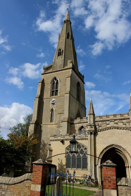
Lairstall Pond Images

Images are sourced within 2km of 52.30168/0.006831435 or Grid Reference TL3668. Thanks to Geograph Open Source API. All images are credited.

Ramper Road near Highfield Farm Cottages This is the road from Longstanton to Boxworth End and Swavesey, in the Cambridgeshire Fens. Farming here is largely arable, so it was a pleasure to see cattle in the field on the right.
Ramper Road near Highfield Farm Cottages
This is the road from Longstanton to Boxworth End and Swavesey, in the Cambridgeshire Fens. Farming here is largely arable, so it was a pleasure to see cattle in the field on the right.
Pollarded trees at Highfield Farm Cottages Seen from Utton's Drove on the bright morning of New Year's Day.
Pollarded trees at Highfield Farm Cottages
Seen from Utton's Drove on the bright morning of New Year's Day.
Yellow brick at Boxworth End Nineteenth-century houses - types characteristic of the villages of the Cambridgeshire Fens.
Yellow brick at Boxworth End
Nineteenth-century houses - types characteristic of the villages of the Cambridgeshire Fens.
Swavesey: building work at the corner of Rose and Crown Road Rose and Crown Road links Swavesey and Fen Drayton.
Swavesey: building work at the corner of Rose and Crown Road
Rose and Crown Road links Swavesey and Fen Drayton.
Guided busway and bridleway Running from St Ives to Cambridge, where the buses join the road network or continue to Cambridge North station.
Guided busway and bridleway
Running from St Ives to Cambridge, where the buses join the road network or continue to Cambridge North station.
Swavesey Baptist Chapel The chunky yellow-brick chapel is dated 1869.
Swavesey Baptist Chapel
The chunky yellow-brick chapel is dated 1869.
Swavesey: at the corner of Gibraltar Lane This stretch of Swavesey's long main street is Middle Watch.
Swavesey: at the corner of Gibraltar Lane
This stretch of Swavesey's long main street is Middle Watch.
Swavesey Newsagents Between The White Horse and the Post Office, on Market Street. The splendid old sign offers, among other things, postcards ("views"), pipes and pouches.
Swavesey Newsagents
Between The White Horse and the Post Office, on Market Street. The splendid old sign offers, among other things, postcards ("views"), pipes and pouches.
Swavesey: Market Street and High Street A number of Grade II listed buildings, with the sun still low in the sky at ten to ten on the first morning of the year.
Swavesey: Market Street and High Street
A number of Grade II listed buildings, with the sun still low in the sky at ten to ten on the first morning of the year.
Swavesey: light and shade on New Year's Day The northern end of Swavesey's long main street not long before ten o'clock on a fine winter morning.
Swavesey: light and shade on New Year's Day
The northern end of Swavesey's long main street not long before ten o'clock on a fine winter morning.
Swavesey: in St Andrew's churchyard "The exterior seen from the S is unusually fine. It dates evidently from the early C14. It is of a buff stone, the windows are tall and separated by tall, slim buttresses. The top of the walls has a parapet instead of battlements" (Nikolaus Pevsner). The church is Grade I listed: <span class="nowrap"><a title="http://www.britishlistedbuildings.co.uk/en-423488-parish-churh-of-st-andrew-swavesey-cambr" rel="nofollow ugc noopener" href="http://www.britishlistedbuildings.co.uk/en-423488-parish-churh-of-st-andrew-swavesey-cambr">Link</a><img style="margin-left:2px;" alt="External link" title="External link - shift click to open in new window" src="https://s1.geograph.org.uk/img/external.png" width="10" height="10"/></span> .
Swavesey: in St Andrew's churchyard
"The exterior seen from the S is unusually fine. It dates evidently from the early C14. It is of a buff stone, the windows are tall and separated by tall, slim buttresses. The top of the walls has a parapet instead of battlements" (Nikolaus Pevsner). The church is Grade I listed: LinkExternal link .
Swavesey: churchyard and vicarage The vicarage dates from 1865. <a href="https://www.geograph.org.uk/photo/4200629">TL3669 : In Swavesey churchyard</a> is an October version of this view.
Swavesey: churchyard and vicarage
The vicarage dates from 1865. TL3669 : In Swavesey churchyard is an October version of this view.
Swavesey: St Andrew's on the first morning of 2024  This fine church, seen from Station Road, is Grade I listed. The moon edges into the top right-hand corner of the picture, taken not long after 9.30 on New Year's Day.
Swavesey: St Andrew's on the first morning of 2024
This fine church, seen from Station Road, is Grade I listed. The moon edges into the top right-hand corner of the picture, taken not long after 9.30 on New Year's Day.
Busway, bike and Over Windmill The Cambridgeshire Guided Busway and the cycle track beside it, near Swavesey, a little before 9.30 on the bright morning of New Year's Day. Buses were not running.
Busway, bike and Over Windmill
The Cambridgeshire Guided Busway and the cycle track beside it, near Swavesey, a little before 9.30 on the bright morning of New Year's Day. Buses were not running.
St Mary’s Church, Over A Grade I listed building with C13th origins but mainly early C14th, see: <span class="nowrap"><a title="https://britishlistedbuildings.co.uk/101317811-church-of-st-mary-over" rel="nofollow ugc noopener" href="https://britishlistedbuildings.co.uk/101317811-church-of-st-mary-over">Link</a><img style="margin-left:2px;" alt="External link" title="External link - shift click to open in new window" src="https://s1.geograph.org.uk/img/external.png" width="10" height="10"/></span> .
Photo taken during the 2021 sponsored cycle ride in aid of Cambridgeshire Historic Churches Trust (<span class="nowrap"><a title="https://camhct.uk/" rel="nofollow ugc noopener" href="https://camhct.uk/">Link</a><img style="margin-left:2px;" alt="External link" title="External link - shift click to open in new window" src="https://s1.geograph.org.uk/img/external.png" width="10" height="10"/></span> ). Next stop: <a href="https://www.geograph.org.uk/photo/6963611">TL3669 : St Andrew's Church, Swavesey</a>.
St Mary’s Church, Over
A Grade I listed building with C13th origins but mainly early C14th, see: LinkExternal link . Photo taken during the 2021 sponsored cycle ride in aid of Cambridgeshire Historic Churches Trust (LinkExternal link ). Next stop: TL3669 : St Andrew's Church, Swavesey.
The porch of St Mary's Church, Over A Grade I listed building with C13th origins but mainly early C14th, see: <span class="nowrap"><a title="https://britishlistedbuildings.co.uk/101317811-church-of-st-mary-over" rel="nofollow ugc noopener" href="https://britishlistedbuildings.co.uk/101317811-church-of-st-mary-over">Link</a><img style="margin-left:2px;" alt="External link" title="External link - shift click to open in new window" src="https://s1.geograph.org.uk/img/external.png" width="10" height="10"/></span> . The porch is remarkably large & ornate. 
Photo taken during the 2021 sponsored cycle ride in aid of Cambridgeshire Historic Churches Trust (<span class="nowrap"><a title="https://camhct.uk/" rel="nofollow ugc noopener" href="https://camhct.uk/">Link</a><img style="margin-left:2px;" alt="External link" title="External link - shift click to open in new window" src="https://s1.geograph.org.uk/img/external.png" width="10" height="10"/></span> ). Next stop: <a href="https://www.geograph.org.uk/photo/6963611">TL3669 : St Andrew's Church, Swavesey</a>.
The porch of St Mary's Church, Over
A Grade I listed building with C13th origins but mainly early C14th, see: LinkExternal link . The porch is remarkably large & ornate. Photo taken during the 2021 sponsored cycle ride in aid of Cambridgeshire Historic Churches Trust (LinkExternal link ). Next stop: TL3669 : St Andrew's Church, Swavesey.
Cattle by the Great Ouse With a Cattle Egret in attendance, as is now unremarkable. Just three years ago it would have been quite a notable bird sighting.
Cattle by the Great Ouse
With a Cattle Egret in attendance, as is now unremarkable. Just three years ago it would have been quite a notable bird sighting.
Building plot by Station Road Infill development in Over.
Building plot by Station Road
Infill development in Over.
Show me another place!

Lairstall Pond is located at Grid Ref: TL3668 (Lat: 52.30168, Lng: 0.006831435)

Administrative County: Cambridgeshire

District: South Cambridgeshire

Police Authority: Cambridgeshire

What 3 Words

///milkman.built.spending. Near Swavesey, Cambridgeshire

Nearby Locations

Lairstall Pond Swavesey

Related Wikis

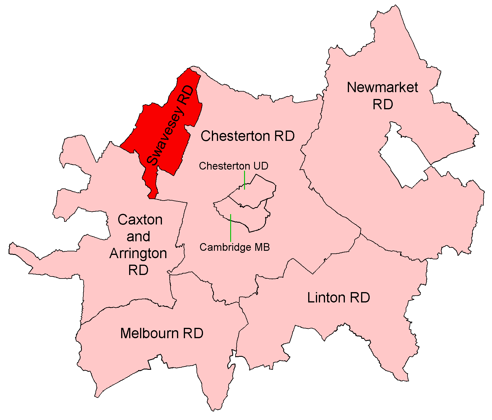
Swavesey Rural District

Swavesey was a rural district in Cambridgeshire, England, from 1894 to 1934. It was formed under the Local Government Act 1894 from the part of the St...

Swavesey Priory

Swavesey Priory was a medieval monastic house in the village of Swavesey, Cambridgeshire, England. A church existed in Swavesey at the time of the Norman...

Swavesey

Swavesey is a village lying on the Prime Meridian in Cambridgeshire, England, with a population of 2,463. The village is situated 9 miles to the north...

Swavesey railway station

Swavesey railway station was a station in Swavesey, Cambridgeshire on the line between Cambridge and St Ives which was closed for passenger services in...

Mare Fen

Mare Fen is a 16.3 hectare Local Nature Reserve north of Swavesey in Cambridgeshire, England. It is owned by Cambridgeshire County Council, and was formerly...

Swavesey Village College

Swavesey Village College is a village college and academy school in the village of Swavesey in south Cambridgeshire, England. In 2011, Swavesey Village...

Over, Cambridgeshire

Over is a large village near the River Great Ouse in the English county of Cambridgeshire, just east of the prime meridian. The parish covers an area of...

Needingworth

Needingworth is a village in Cambridgeshire, England. Needingworth lies approximately 7 miles (11 km) east of Huntingdon and just west of the Prime Meridian...

Related Videos

Over in Winter

Not a breath of wind on a cold winter's day walking along the towpath of the Herefordshire & Gloucestershire Canal at Over, near ...

Fen Drayton Lakes - cycle trip

Superb cycle trip in Fen Drayton Lakes. Fantastic day out and peace and quiet. We are the family who like spend free days ...

Product Review: Wire Wheel Balancing Cones

Product Review: Wire Wheel Balancing Cones *Video correction detail below for 3m50sec (David is using 42mm hub bearings) ...

Nearby Amenities

Located within 500m of 52.30168,0.006831435
Barrier: kissing_gate
Bicycle: no
Foot: designated
Horse: no
Kissing Gate: circular_profile
Motor Vehicle: no
Lat/Long: 52.3056105/0.007828
Barrier: kissing_gate
Lat/Long: 52.3001513/0.0004876
Barrier: horse_stile
Bicycle: designated
Foot: designated
Horse: designated
Lat/Long: 52.3045941/0.0057567
Line Attachment: anchor
Location Transition: yes
Power: pole
Lat/Long: 52.3053691/0.0038999
Line Attachment: anchor
Location Transition: yes
Power: pole
Lat/Long: 52.3050755/0.0035431
Power: pole
Lat/Long: 52.3019693/-0.0002415
Power: pole
Lat/Long: 52.304109/0.0023923
Power: pole
Lat/Long: 52.3010443/-0.0002763
Power: pole
Lat/Long: 52.3030386/0.0010701
Board Title: The Cambridge to St Ives Railway
Board Type: history
Information: board
Tourism: information
Lat/Long: 52.3048655/0.0062905
Barrier: kissing_gate
Foot: designated
Kissing Gate: circular_profile
Lat/Long: 52.3046055/0.005734
The data included in this document is from www.openstreetmap.org. The data is made available under ODbL.

Have you been to Lairstall Pond?

Leave your review of Lairstall Pond below (or comments, questions and feedback).