Cheshunt Lake
Lake, Pool, Pond, Freshwater Marsh in Hertfordshire Broxbourne
England
Cheshunt Lake
Cheshunt Lake, located in Hertfordshire, England, is a man-made body of water that serves as a recreational area for locals and tourists alike. With an approximate area of 13 acres, the lake offers a serene and picturesque environment surrounded by lush greenery and diverse wildlife.
Originally designed as a gravel pit, Cheshunt Lake was created during the 1960s and has since become an important ecological habitat. The lake is fed by natural springs, ensuring a constant supply of freshwater. The depth of the lake varies, with some areas reaching up to 20 feet.
The lake's calm waters make it an ideal spot for various water activities such as boating, kayaking, and fishing. Anglers can find a variety of fish species in the lake, including carp, pike, and roach, providing ample opportunities for recreational fishing.
In addition to the lake, Cheshunt also features a freshwater marsh, which is a valuable ecosystem that supports a wide range of plant and animal species. The marshland is home to a variety of bird species, including herons, kingfishers, and swans, making it a popular spot for birdwatching enthusiasts.
Surrounding the lake, there are designated walking trails and picnic areas, allowing visitors to explore the natural beauty of the area. The lake is conveniently located near amenities such as car parks, cafes, and public toilets, ensuring visitors have a comfortable experience.
Overall, Cheshunt Lake offers a tranquil and scenic environment, perfect for outdoor enthusiasts looking to relax, enjoy water activities, and observe the diverse wildlife that calls this area home.
If you have any feedback on the listing, please let us know in the comments section below.
Cheshunt Lake Images
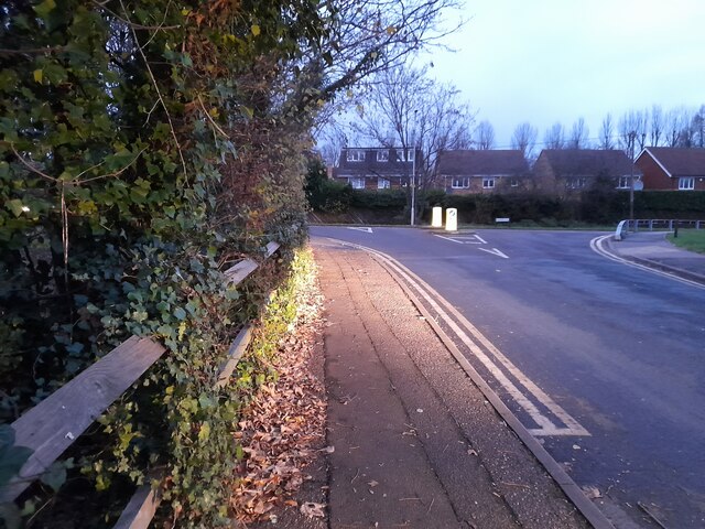
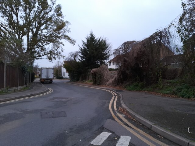
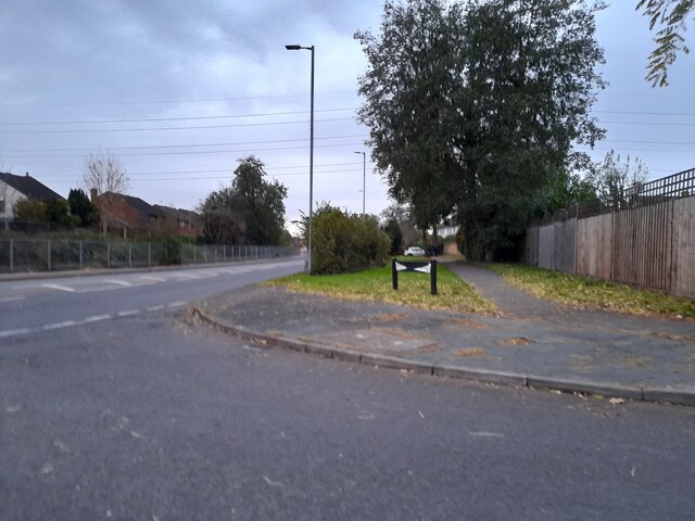
Images are sourced within 2km of 51.705171/-0.019893987 or Grid Reference TL3602. Thanks to Geograph Open Source API. All images are credited.


Cheshunt Lake is located at Grid Ref: TL3602 (Lat: 51.705171, Lng: -0.019893987)
Administrative County: Hertfordshire
District: Broxbourne
Police Authority: Hertfordshire
What 3 Words
///name.tuck.weep. Near Cheshunt, Hertfordshire
Nearby Locations
Related Wikis

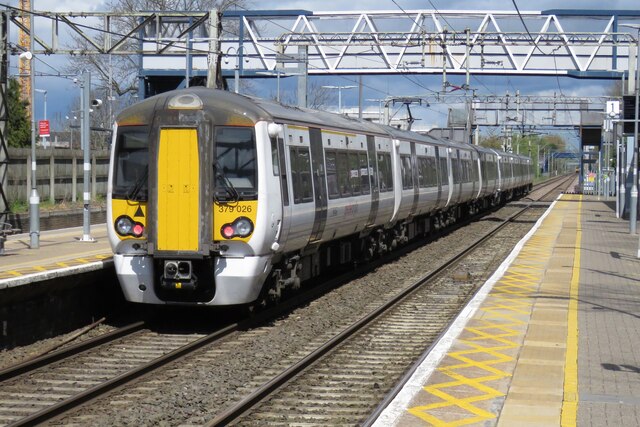
Cheshunt railway station
Cheshunt is a National Rail and London Overground station in Cheshunt, Hertfordshire, England. On the National Rail network it is on the West Anglia Main...

Tesco
Tesco plc () is a British multinational groceries and general merchandise retailer headquartered in Welwyn Garden City, England. In 2011, it was the third...

Turnford and Cheshunt Pits
The Turnford and Cheshunt Pits is a biological Site of Special Scientific Interest near Cheshunt in Hertfordshire and Essex and covers a total of 428.17...

Cheshunt Lock
Cheshunt Lock (No 9) is a lock on the River Lee Navigation at Cheshunt, Hertfordshire. == Geography == The lock is located in the River Lee Country Park...

Fishers Green
Fishers Green is a settlement in the parish of Waltham Abbey in Essex, England, lying 1 mile (1.6 km) to the north of the main built-up area. It lies on...
River Lee Country Park
The River Lee Country Park is located in the Lee Valley Park and is managed by the Lee Valley Regional Park Authority. Covering 1,000 acres (400 ha) on...

Waltham Common Lock
Waltham Common Lock (No 10) is a lock on the River Lee Navigation at Waltham Cross in Hertfordshire, England. The lock is located in the River Lee Country...
Haileybury Turnford
Haileybury Turnford (formerly Turnford School) is a coeducational secondary school and sixth form located in Turnford, Hertfordshire, England. Previously...
Nearby Amenities
Located within 500m of 51.705171,-0.019893987Have you been to Cheshunt Lake?
Leave your review of Cheshunt Lake below (or comments, questions and feedback).