Wash Gould
Lake, Pool, Pond, Freshwater Marsh in Lincolnshire South Holland
England
Wash Gould
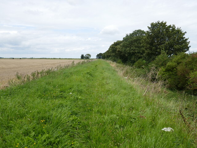
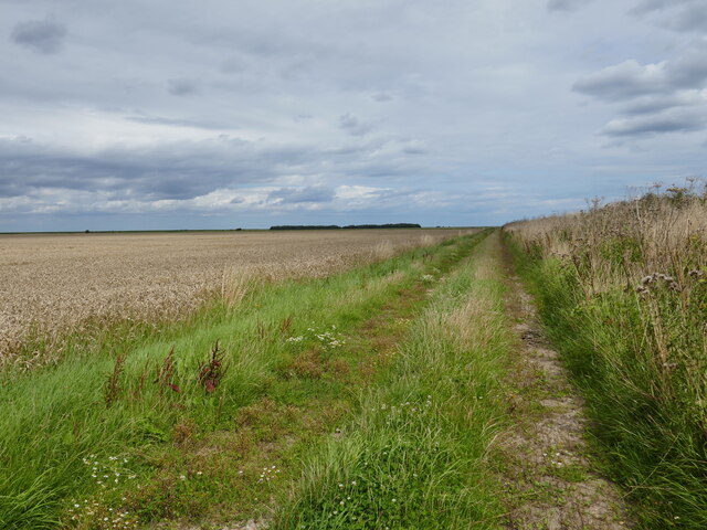
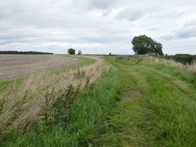
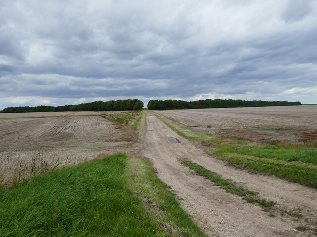
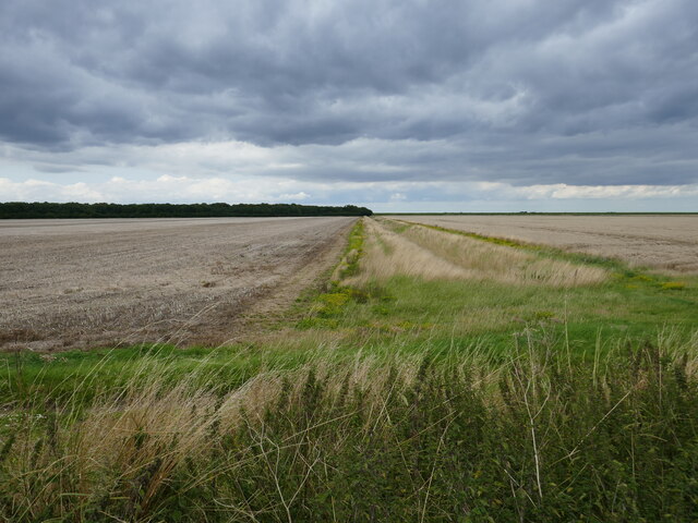
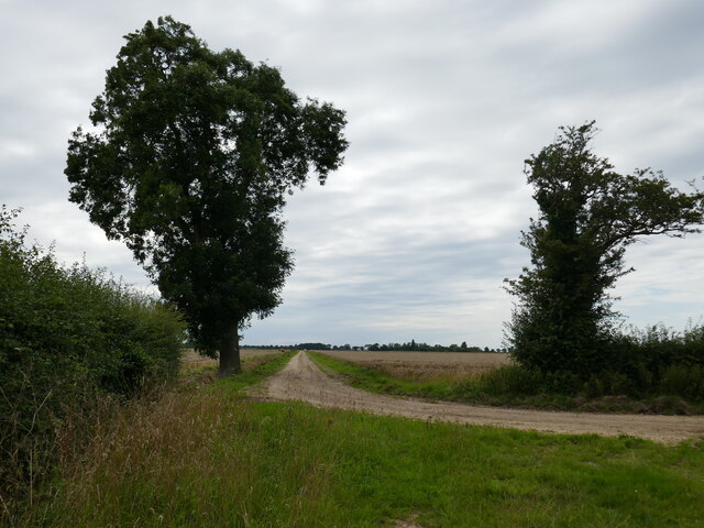
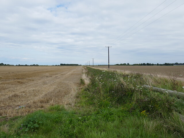
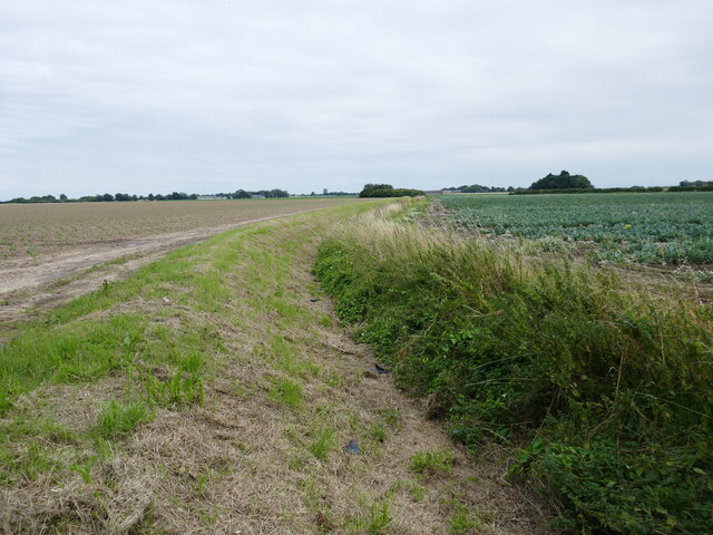
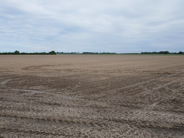
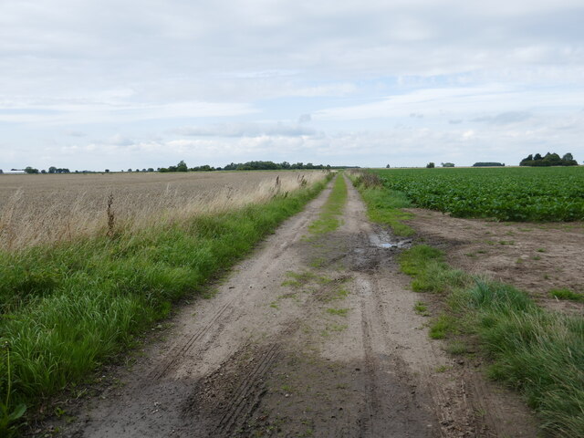
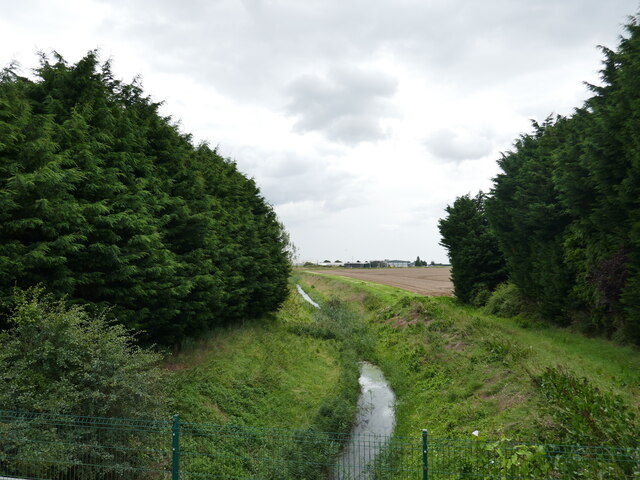
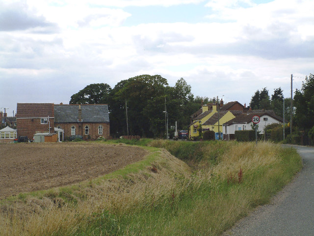
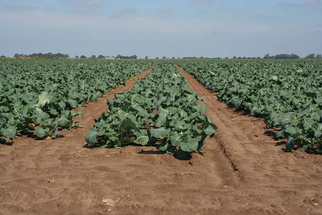
Wash Gould, located in Lincolnshire, England, is a pristine wetland area encompassing a lake, pool, pond, and freshwater marsh. Spanning across an area of approximately 500 acres, it is a haven for a diverse range of flora and fauna.
The lake, with its crystal-clear waters, is surrounded by lush vegetation, creating a serene and picturesque landscape. It provides a habitat for various waterfowl species, including ducks, geese, and swans, which can often be observed gracefully gliding across the water's surface. The lake's calm and tranquil ambiance also attracts visitors who enjoy fishing for carp, pike, and perch.
Adjacent to the lake is a smaller pool, which acts as a breeding ground for amphibians such as frogs and newts. It is a crucial habitat for these species during their reproductive cycles, providing a safe environment for their eggs to develop into tadpoles and eventually mature into adult frogs.
A pond, located within the wetland area, offers a habitat for an array of aquatic plants and invertebrates. Its shallow depths and abundant vegetation make it an ideal spot for dragonflies and damselflies to breed and feast on insects, contributing to the overall biodiversity of the area.
Finally, the freshwater marsh, characterized by its waterlogged soil and marshy vegetation, is home to numerous bird species, including reed warblers, sedge warblers, and marsh harriers. These birds find ample food sources within the marsh, such as insects, fish, and small mammals.
Overall, Wash Gould in Lincolnshire is a remarkable wetland ecosystem, providing a sanctuary for a diverse range of plant and animal life and offering a peaceful retreat for nature enthusiasts and wildlife lovers alike.
If you have any feedback on the listing, please let us know in the comments section below.
Wash Gould Images
Images are sourced within 2km of 52.875423/0.031465998 or Grid Reference TF3632. Thanks to Geograph Open Source API. All images are credited.
Wash Gould is located at Grid Ref: TF3632 (Lat: 52.875423, Lng: 0.031465998)
Administrative County: Lincolnshire
District: South Holland
Police Authority: Lincolnshire
What 3 Words
///looms.jiffy.arrow. Near Holbeach, Lincolnshire
Nearby Locations
Related Wikis

Holbeach St Marks
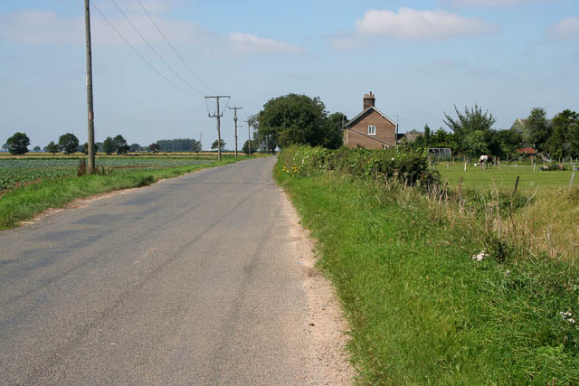
Holbeach St Marks is a fenland village in the South Holland district of southern Lincolnshire, England. It is 5 miles (8 km) north from Holbeach, 3 miles...
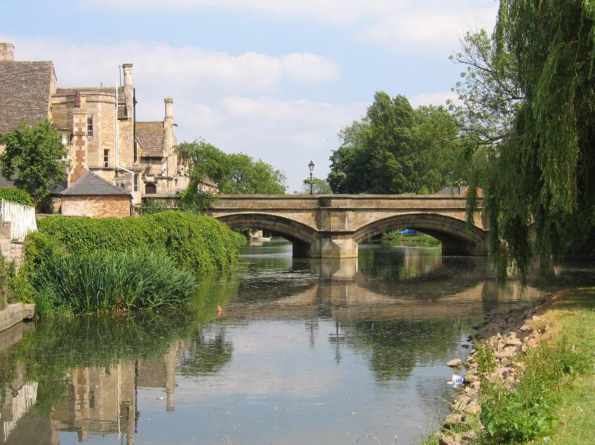
River Welland
The River Welland is a lowland river in the east of England, some 65 miles (105 km) long. It drains part of the Midlands eastwards to The Wash. The river...
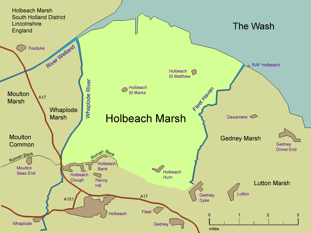
Holbeach Marsh
Holbeach Marsh is a fenland area in the South Holland district of Lincolnshire, England. Holbeach Marsh is situated between the market town of Holbeach...

Holbeach St Matthew
Holbeach St Matthew is a small fenland village in the South Holland district of southern Lincolnshire, England. It lies 6 miles (10 km) north-east from...
Fosdyke
Fosdyke is a village and civil parish in the Borough of Boston, Lincolnshire, England. The population of the civil parish at the 2011 census was 480. It...

Holbeach Bank
Holbeach Bank is a fenland village in the South Holland district of Lincolnshire, England. It is just under 2 miles (3 km) north from the market town of...

RSPB Frampton Marsh
Frampton Marsh is a nature reserve in Lincolnshire, England. The reserve is situated on the coast of The Wash, some 4 miles from the town of Boston, between...

Holbeach Hurn
Holbeach Hurn is a small fenland village in the civil parish of Holbeach in the South Holland district of southern Lincolnshire, England. It is 2.5 miles...
Have you been to Wash Gould?
Leave your review of Wash Gould below (or comments, questions and feedback).