Green Cross

Settlement in Surrey Waverley

England

Green Cross

Lampard Lane, Churt, near Farnham Lampard Lane is a minor lane on the edge of the Surrey village of Churt, very close to the border with Hampshire.
Lampard Lane, Churt, near Farnham Credit: Malc McDonald

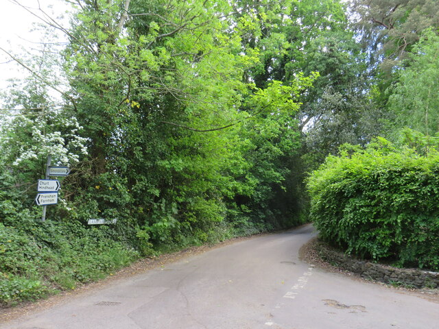
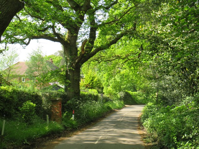
Green Cross is a small village located in the county of Surrey, England. Situated approximately 30 miles south-west of London, it falls within the borough of Guildford. The village is nestled amidst the picturesque countryside, surrounded by lush green fields and woodlands, offering residents and visitors a tranquil and idyllic setting.

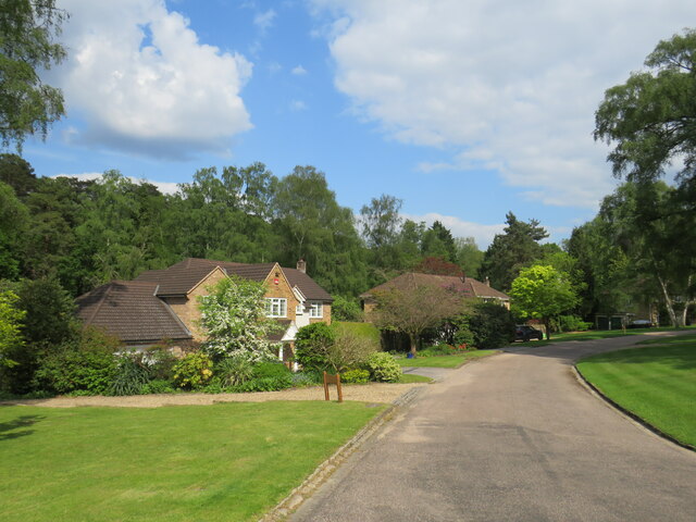
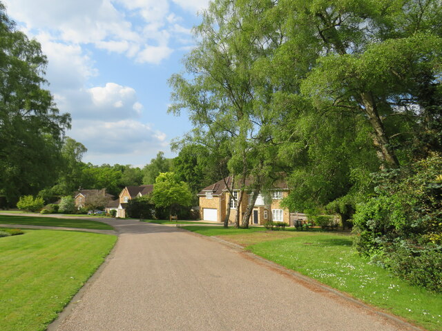
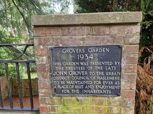
Green Cross is a close-knit community with a population of around 500 residents. The village primarily consists of charming cottages and houses, which reflect its rich historical heritage. Many of these buildings date back several centuries and have been carefully preserved, adding to the village's unique character.

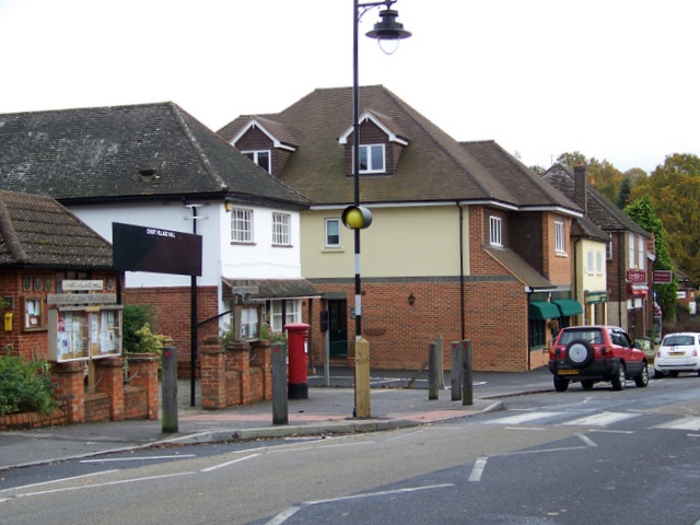
Despite its small size, Green Cross boasts a range of amenities and facilities to cater to the needs of its residents. These include a local primary school, a village hall, and a post office. The village also benefits from excellent transport links, with regular bus services connecting it to nearby towns and cities.

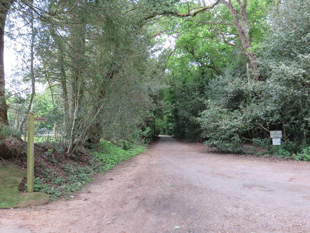
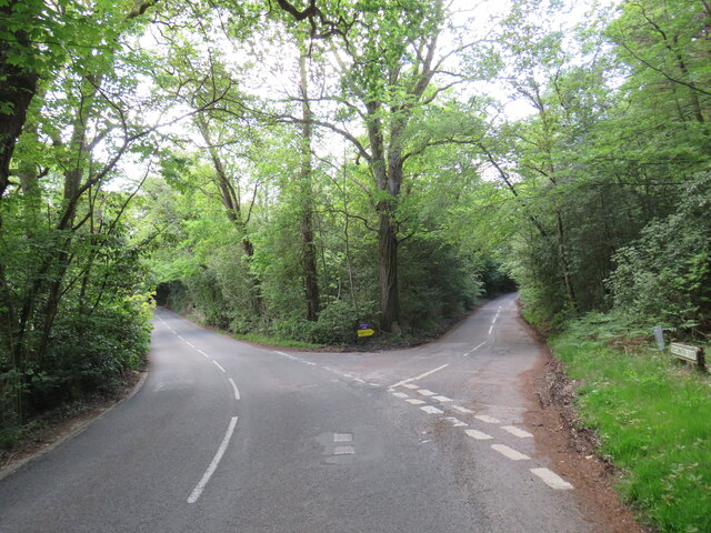
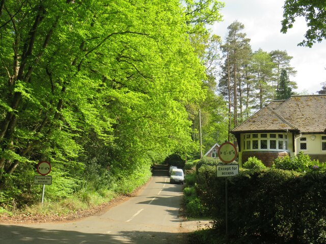
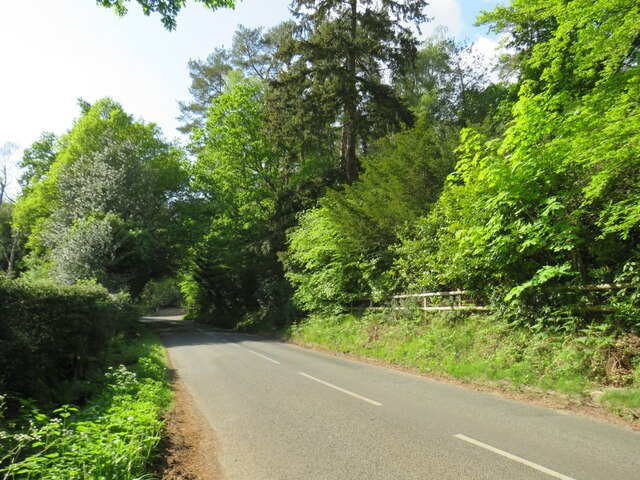
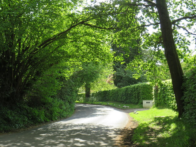
Nature lovers are drawn to Green Cross for its scenic beauty and ample opportunities for outdoor activities. The village is surrounded by numerous walking and cycling trails, offering breathtaking views of the countryside. Additionally, the nearby Surrey Hills Area of Outstanding Natural Beauty provides further opportunities for exploration.

Overall, Green Cross is a charming and peaceful village, offering a quintessential English countryside experience. Its strong sense of community, picturesque surroundings, and convenient amenities make it an attractive place to live or visit for those seeking a slower pace of life.

If you have any feedback on the listing, please let us know in the comments section below.
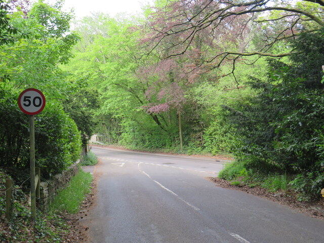
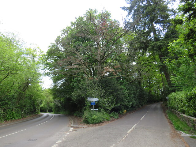
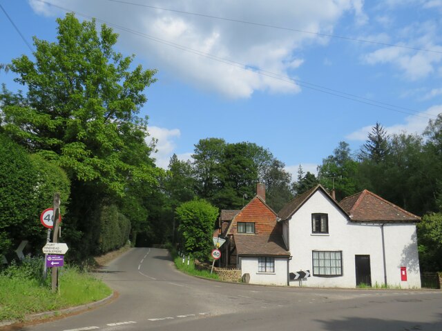
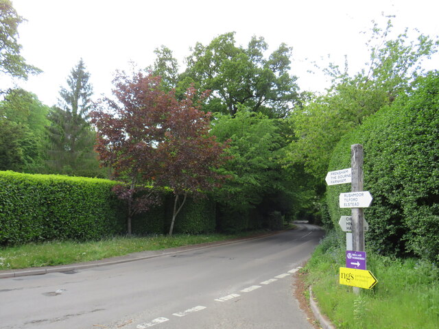
Green Cross Images

Images are sourced within 2km of 51.135698/-0.766766 or Grid Reference SU8638. Thanks to Geograph Open Source API. All images are credited.

Lampard Lane, Churt, near Farnham Lampard Lane is a minor lane on the edge of the Surrey village of Churt, very close to the border with Hampshire.
Lampard Lane, Churt, near Farnham
Lampard Lane is a minor lane on the edge of the Surrey village of Churt, very close to the border with Hampshire.
Public bridleway, Churt, near Farnham A public bridleway along a driveway on the edge of the village of Churt, in Surrey.  This location is very close to the border with Hampshire.
Public bridleway, Churt, near Farnham
A public bridleway along a driveway on the edge of the village of Churt, in Surrey. This location is very close to the border with Hampshire.
Star Hill Drive, Churt, near Farnham Star Hill Drive is a residential cul-de-sac on the edge of the village of Churt in Surrey.
Star Hill Drive, Churt, near Farnham
Star Hill Drive is a residential cul-de-sac on the edge of the village of Churt in Surrey.
Star Hill Drive, Churt, near Farnham Star Hill Drive is a residential cul-de-sac on the edge of the village of Churt in Surrey.
Star Hill Drive, Churt, near Farnham
Star Hill Drive is a residential cul-de-sac on the edge of the village of Churt in Surrey.
Star Hill, Churt, near Farnham Star Hill is a minor road on the edge of the village of Churt, in Surrey.  Here, the road approaches a junction with the A287.  The sign to the left of the image is a "repeater" sign reminding motorists that a speed limit of 50 miles per hour applies here.
Star Hill, Churt, near Farnham
Star Hill is a minor road on the edge of the village of Churt, in Surrey. Here, the road approaches a junction with the A287. The sign to the left of the image is a "repeater" sign reminding motorists that a speed limit of 50 miles per hour applies here.
Road junction in Churt, near Farnham A road junction on the edge of the village of Churt in Surrey.  The road to the left is the A287.
Road junction in Churt, near Farnham
A road junction on the edge of the village of Churt in Surrey. The road to the left is the A287.
The Old Post Office, Churt, near Farnham The Old Post Office stands at the corner of Jumps Road in the Surrey village of Churt.  As its name suggests, this building was once a post office.  It stall has a post box in the wall, to the right of the image.

The road passing in the foreground is the A287.
The Old Post Office, Churt, near Farnham
The Old Post Office stands at the corner of Jumps Road in the Surrey village of Churt. As its name suggests, this building was once a post office. It stall has a post box in the wall, to the right of the image. The road passing in the foreground is the A287.
A287 at Churt, near Farnham The A287 road at Churt in Surrey.
A287 at Churt, near Farnham
The A287 road at Churt in Surrey.
Road junction near Farnham A junction of minor roads in woodland, near the Surrey village of Churt.
Road junction near Farnham
A junction of minor roads in woodland, near the Surrey village of Churt.
Crabtree Lane, Churt, near Farnham Crabtree Lane is a minor lane on the edge of the village of Churt in Surrey.

A width restriction of 6 feet and 6 inches applies to prohibit large vehicles from using this road.  Vehicles needing to access properties along this road are exempt from the restriction.
Crabtree Lane, Churt, near Farnham
Crabtree Lane is a minor lane on the edge of the village of Churt in Surrey. A width restriction of 6 feet and 6 inches applies to prohibit large vehicles from using this road. Vehicles needing to access properties along this road are exempt from the restriction.
Jumps Road, Churt, near Farnham Jumps Road is a minor road through woodland on the edge of the village of Churt, in Surrey.
Jumps Road, Churt, near Farnham
Jumps Road is a minor road through woodland on the edge of the village of Churt, in Surrey.
Hale House Lane, Churt, near Farnham Hale House Lane is a minor road on the edge of the village of Churt, in Surrey.
Hale House Lane, Churt, near Farnham
Hale House Lane is a minor road on the edge of the village of Churt, in Surrey.
Crabtree Lane, Churt, near Farnham Crabtree Lane is a minor road on the edge of the village of Churt, in Surrey.
Crabtree Lane, Churt, near Farnham
Crabtree Lane is a minor road on the edge of the village of Churt, in Surrey.
Hale House Lane, near Farnham Hale House Lane is a minor road passing through woodland in Surrey.
Hale House Lane, near Farnham
Hale House Lane is a minor road passing through woodland in Surrey.
Road junction near Farnham A junction of minor roads in Surrey countryside.
Road junction near Farnham
A junction of minor roads in Surrey countryside.
Rural road junction near Farnham A junction of minor roads in the Surrey countryside.
Rural road junction near Farnham
A junction of minor roads in the Surrey countryside.
Pride Barn Fish Farm, near Rushmoor Pride Barn Fish Farm in Surrey countryside, near the village of Rushmoor.
Pride Barn Fish Farm, near Rushmoor
Pride Barn Fish Farm in Surrey countryside, near the village of Rushmoor.
Commemorative plaque in Wood Road
Show me another place!

Green Cross is located at Grid Ref: SU8638 (Lat: 51.135698, Lng: -0.766766)

Administrative County: Surrey

District: Waverley

Police Authority: Surrey

What 3 Words

///darling.scooters.magnetic. Near Churt, Surrey

Nearby Locations

Green Cross

Related Wikis

Churt

Churt is a village and civil parish in the borough of Waverley in Surrey, England, about 5.5 miles (8.9 km) south of the town of Farnham on the A287 road...

Stockstone Quarry

Stockstone Quarry is a 3.9-hectare (9.6-acre) geological Site of Special Scientific Interest south of Farnham in Surrey. It is a Geological Conservation...

Barford, Hampshire

Barford is a scattered hamlet in the civil parish of Headley in the East Hampshire district of Hampshire, England. The village lies on the Hampshire-Surrey...

Devil's Jumps, Churt

The Devil's Jumps are a series of three small hills near the village of Churt in the county of Surrey in southern England. In the 18th century, the hills...

Nearby Amenities

Located within 500m of 51.135698,-0.766766
Green Cross
Place: hamlet
Source: npe
Lat/Long: 51.1367703/-0.766582
Post Box
Brand: Royal Mail
Brand Wikidata: Q638098
Collection Times: Mo-Fr 09:00; Sa 07:00
Note: This postbox was formerly a wall of a GR royal cypher. But it is now a brand new EIIR lamp design.
Old Ref: GU10 152
Operator: Royal Mail
Operator Wikidata: Q638098
Post Box Mounting: pier
Post Box Type: lamp
Ref: GU10 152D
Royal Cypher: EIIR
Royal Cypher Wikidata: Q33102113
Source: survey+sas
Source 1: survey
Survey Point: 2022-09-10
Lat/Long: 51.1350879/-0.771811
Minffordd
Building: house
Source: OS_OpenData_StreetView
Lat/Long: 51.1392744/-0.7673149
Springate Farm
Landuse: farm
Note Retag: CS #48756035
Source: OS_OpenData_StreetView
Lat/Long: 51.1400485/-0.7682376
Barrier: yes
Lat/Long: 51.1357425/-0.7668882
The data included in this document is from www.openstreetmap.org. The data is made available under ODbL.

Have you been to Green Cross?

Leave your review of Green Cross below (or comments, questions and feedback).