Moore Lake
Lake, Pool, Pond, Freshwater Marsh in Huntingdonshire Huntingdonshire
England
Moore Lake
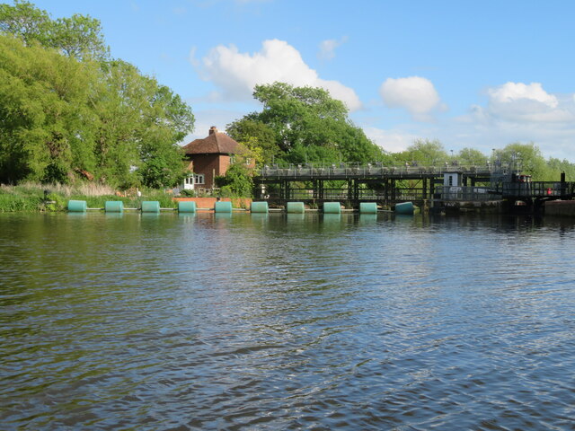
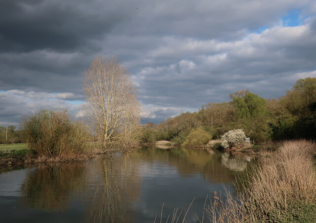
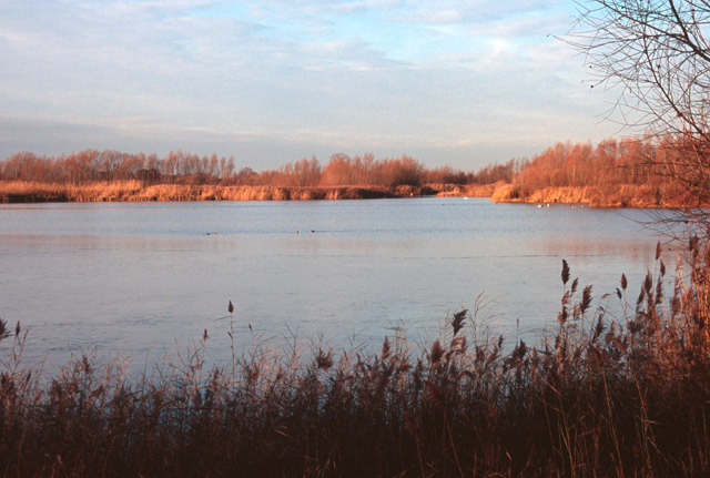
Moore Lake, located in Huntingdonshire, is a picturesque freshwater marsh encompassing an area of approximately 15 acres. Surrounded by lush greenery and diverse vegetation, this serene lake offers a tranquil retreat for nature enthusiasts and wildlife lovers alike.
The lake itself is a natural water body, characterized by its still and calm waters. It serves as a habitat for various aquatic plants and species, creating a thriving ecosystem. The water is mostly clear and freshwater, providing an ideal environment for the growth and sustenance of diverse flora and fauna.
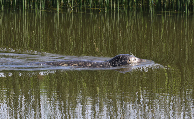
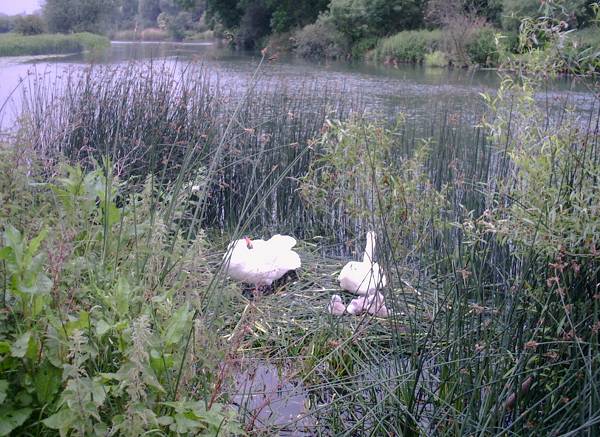
Moore Lake is known for its abundant wildlife. The surrounding marshland and reed beds attract a wide range of bird species, making it an attractive location for birdwatchers. Visitors may spot elegant herons, graceful swans, and colorful ducks, among other avian residents. The lake is also home to a variety of fish, including carp and perch, offering opportunities for fishing enthusiasts.
For those seeking a peaceful retreat, Moore Lake provides a tranquil setting for leisurely walks and picnics. The surrounding area is well-maintained, featuring footpaths and benches, allowing visitors to immerse themselves in the natural beauty of the lake and its surroundings.
Overall, Moore Lake in Huntingdonshire is a serene and picturesque freshwater marsh, offering a sanctuary for wildlife and a peaceful escape for visitors. Its diverse ecosystem, abundant wildlife, and scenic beauty make it a popular destination for nature lovers and outdoor enthusiasts.
If you have any feedback on the listing, please let us know in the comments section below.
Moore Lake Images
Images are sourced within 2km of 52.308926/-0.051078652 or Grid Reference TL3269. Thanks to Geograph Open Source API. All images are credited.
![Harrison Way [A1096] crosses the Great Ouse Approaching the bridge that carries a bypass for St Ives, which dates from the 1970s](https://s2.geograph.org.uk/geophotos/07/19/72/7197286_b80b0cc7.jpg)
![The River Great Ouse at St Ives Passing under Harrison Way [A1096].](https://s2.geograph.org.uk/geophotos/07/19/73/7197322_3e415e75.jpg)


Moore Lake is located at Grid Ref: TL3269 (Lat: 52.308926, Lng: -0.051078652)
Administrative County: Cambridgeshire
District: Huntingdonshire
Police Authority: Cambridgeshire
What 3 Words
///amaze.violin.enlarge. Near Fenstanton, Cambridgeshire
Nearby Locations
Related Wikis
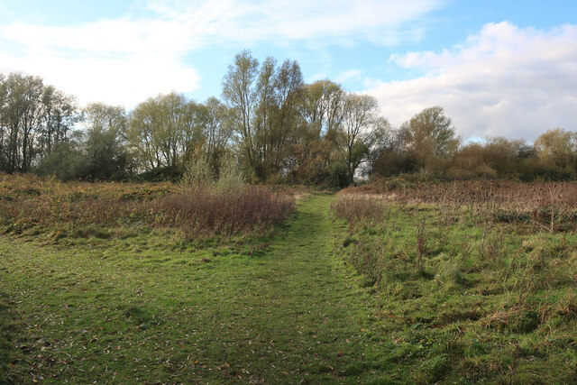
Ouse Valley Way
The Ouse Valley Way is a 150-mile (240 km) footpath in England, following the River Great Ouse from its source near Syresham in Northamptonshire to its...
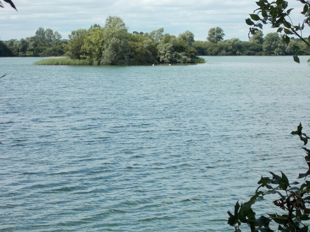
Fen Drayton Lakes
Fen Drayton Lakes is a complex of lakes, lagoons, ponds and a river, situated close to Fen Drayton, Holywell and Swavesey in Cambridgeshire, England. The...
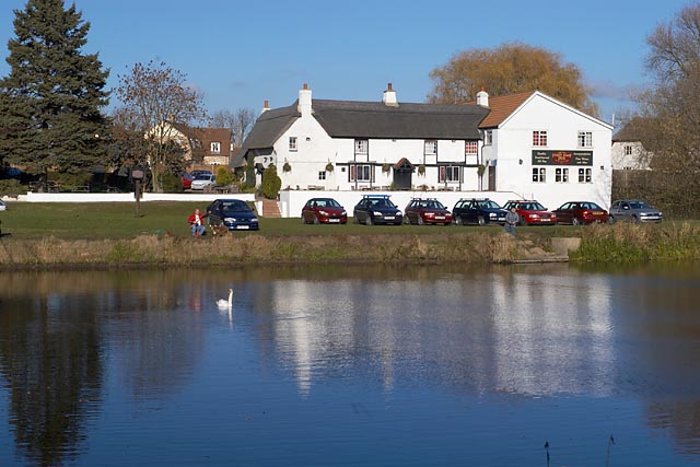
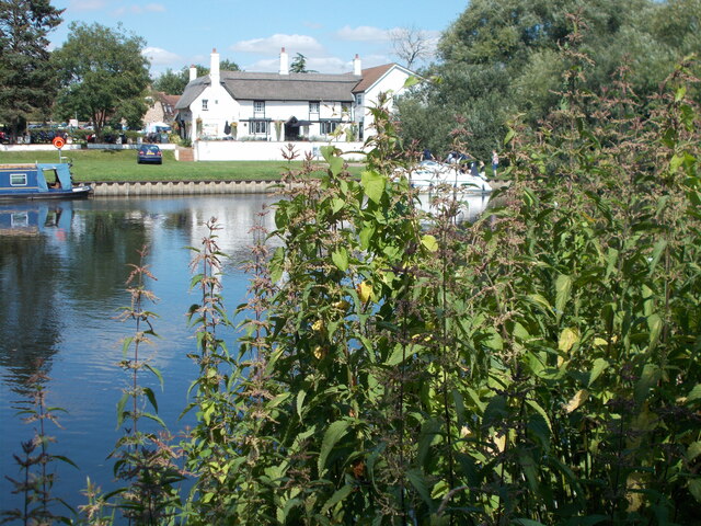
The Old Ferry Boat Inn
The Old Ferry Boat Inn is a pub in Holywell, Huntingdonshire, Cambridgeshire, England. It is situated on the banks of the River Great Ouse.The Old Ferry...

Holywell, Cambridgeshire
Holywell is a village in Cambridgeshire, England, approximately 6 miles (10 km) east of Huntingdon, in the civil parish of Holywell-cum-Needingworth. It...
Fenstanton
Fenstanton is a village and civil parish in Cambridgeshire, England, 2 miles (3 km) south of St Ives in Huntingdonshire, a non-metropolitan district of...

Fen Drayton
Fen Drayton is a small village between Cambridge and St. Ives in Cambridgeshire, England, and between the villages of Fenstanton and Swavesey. The village...
St Ives railway station (Cambridgeshire)
St Ives railway station is a former railway station in St Ives, Cambridgeshire. It formed a junction, with lines to the east heading towards Cambridge...
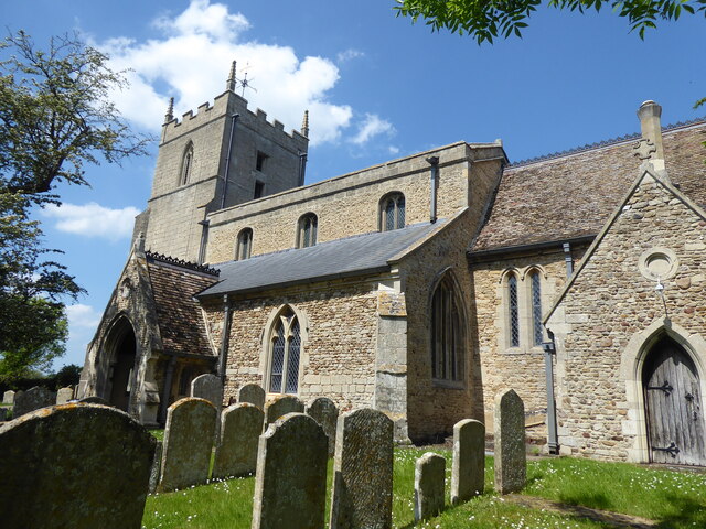
St Ives Priory
St Ives Priory was a priory in Cambridgeshire, England. It was established in 1017 by monks from Ramsey Abbey. == References ==
Nearby Amenities
Located within 500m of 52.308926,-0.051078652Have you been to Moore Lake?
Leave your review of Moore Lake below (or comments, questions and feedback).