Black Wong Water

Lake, Pool, Pond, Freshwater Marsh in Lincolnshire East Lindsey

England

Black Wong Water

Holme Wood Lane A bridleway.
Brookside House on the left of the lane.
Holme Wood Lane Credit: Jonathan Thacker

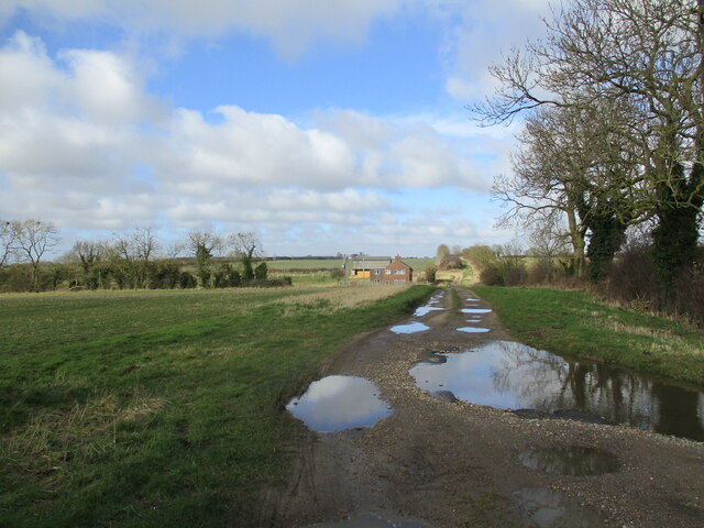
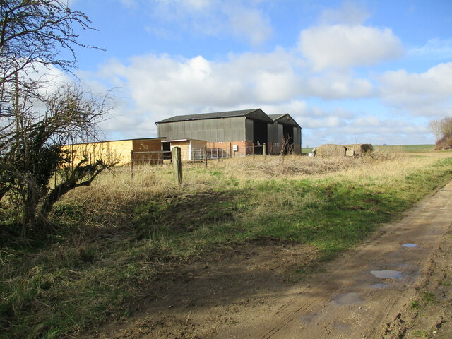
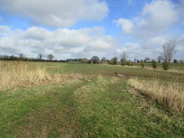
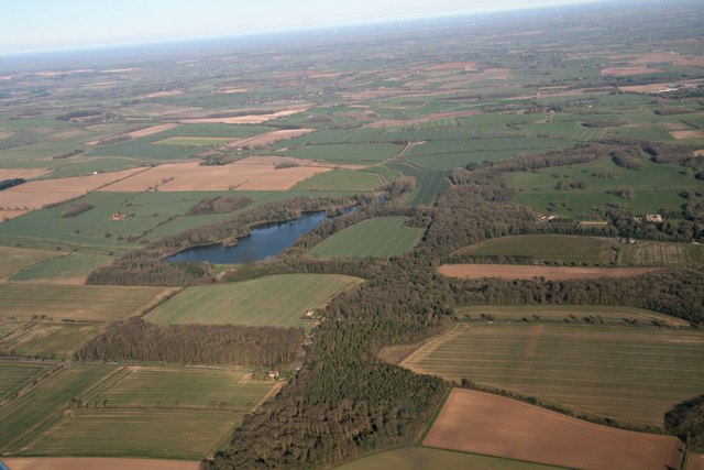
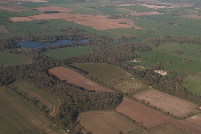
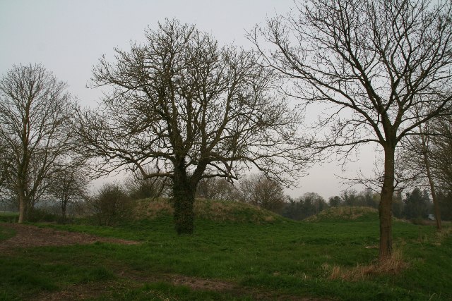
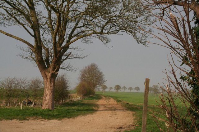
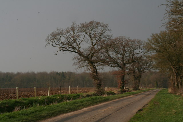
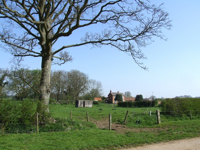
Black Wong Water is a freshwater marsh located in Lincolnshire, England. Covering an area of approximately 10 acres, it is a significant natural feature within the region. The water body is situated in a meadow-like landscape, surrounded by lush vegetation, including reeds, grasses, and various types of aquatic plants.

The water in Black Wong is dark in color, hence the name "Black Wong Water." It is primarily sourced from rainfall and surface runoff, making it a non-flowing water body. The depth of the water can vary throughout the year, with shallower areas during dry periods and deeper sections after heavy rainfall.

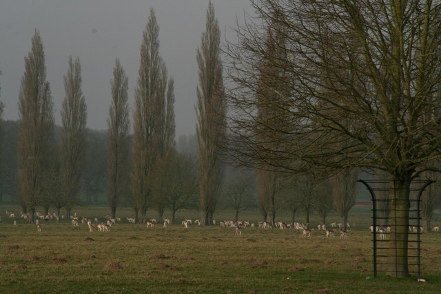
The marsh provides a suitable habitat for a diverse range of flora and fauna. Numerous species of birds, such as ducks, swans, and herons, can be observed in and around the water. Additionally, the reeds and grasses offer shelter and nesting places for small mammals and amphibians.

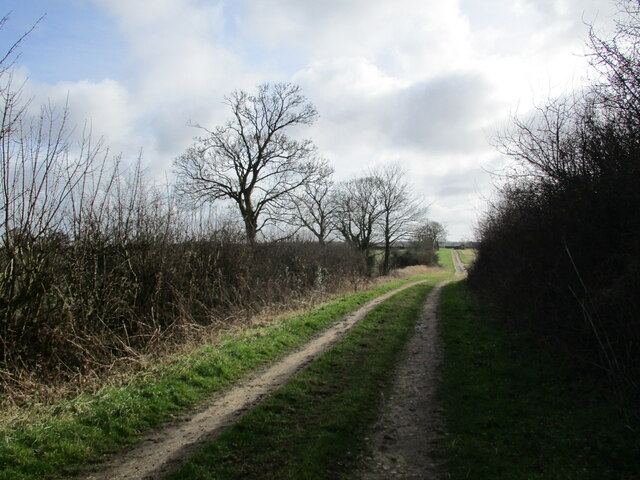
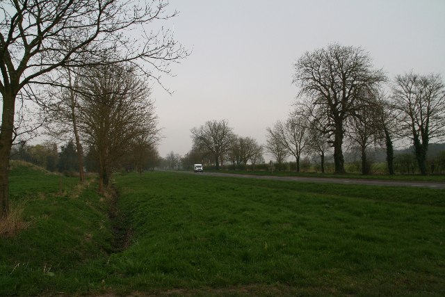
Visitors to Black Wong Water can enjoy the tranquil surroundings and observe the local wildlife. The area is accessible via footpaths and offers several viewpoints for nature enthusiasts. However, swimming or any water activities are not permitted due to the fragile ecosystem and potential risks associated with the marshy terrain.

Black Wong Water is an important ecological site, contributing to the overall biodiversity of Lincolnshire. It serves as a valuable natural resource, supporting various species and providing a peaceful and picturesque environment for all who visit.

If you have any feedback on the listing, please let us know in the comments section below.

Black Wong Water Images

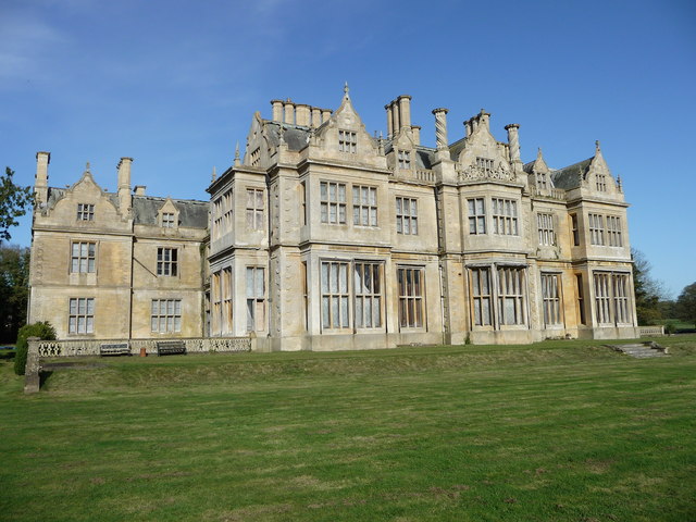
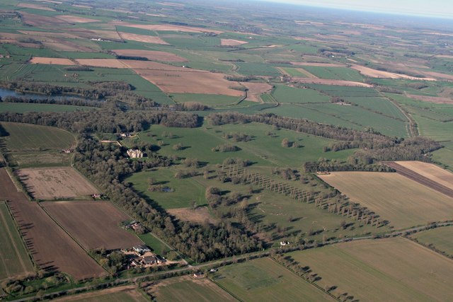
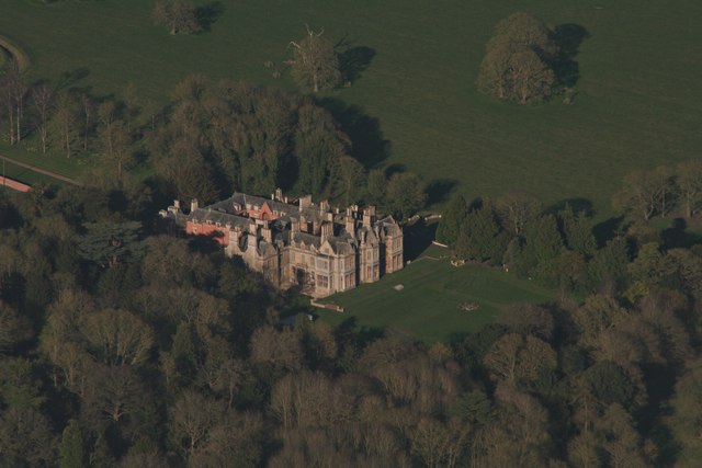
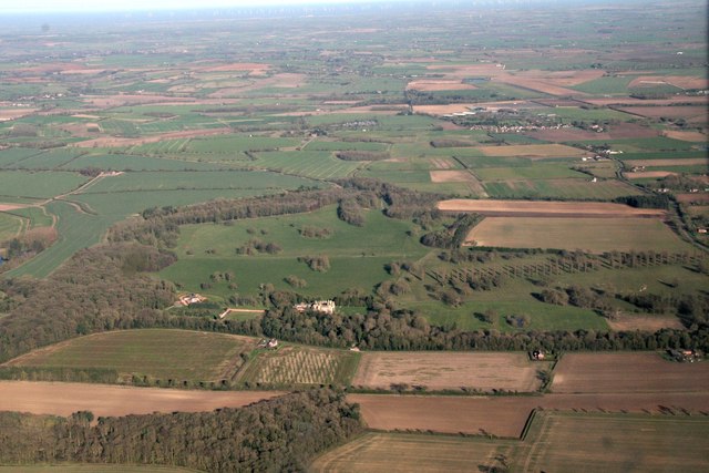
Images are sourced within 2km of 53.149932/-0.042919661 or Grid Reference TF3063. Thanks to Geograph Open Source API. All images are credited.

Holme Wood Lane A bridleway.
Brookside House on the left of the lane.
Holme Wood Lane
A bridleway. Brookside House on the left of the lane.
Farm buildings off Holme Wood Lane
Autumn sown crop near Claxby Pluckacre
Holme Wood Lane A bridleway.
Holme Wood Lane
A bridleway.
Revesby Abbey, Lincolnshire
Revesby Abbey and Park: aerial 2017 Deer Park right with line of trees. Kangaroo Pond in darker green area to the left.

The fourth Joseph Banks of Revesby accompanied and financed Captain James Cook on his world voyage 1768-1771, returning with several kangaroos as well as innumerable plant species. The estate, now run by Gavin Wiggins-Davies and his sons, still focuses bio-diversity and conservation but the kangaroos remain only in the name of the pond. See: <span class="nowrap"><a title="www.revesbyestate.co.uk" rel="nofollow ugc noopener" href="http://www.revesbyestate.co.uk">Link</a><img style="margin-left:2px;" alt="External link" title="External link - shift click to open in new window" src="https://s1.geograph.org.uk/img/external.png" width="10" height="10"/></span> and in particular <span class="nowrap"><a title="http://www.revesbyestate.co.uk/wp-content/uploads/2016/06/20.-Shooting-Gallery.pdf" rel="nofollow ugc noopener" href="http://www.revesbyestate.co.uk/wp-content/uploads/2016/06/20.-Shooting-Gallery.pdf">Link</a><img style="margin-left:2px;" alt="External link" title="External link - shift click to open in new window" src="https://s1.geograph.org.uk/img/external.png" width="10" height="10"/></span>
Revesby Abbey and Park: aerial 2017
Deer Park right with line of trees. Kangaroo Pond in darker green area to the left. The fourth Joseph Banks of Revesby accompanied and financed Captain James Cook on his world voyage 1768-1771, returning with several kangaroos as well as innumerable plant species. The estate, now run by Gavin Wiggins-Davies and his sons, still focuses bio-diversity and conservation but the kangaroos remain only in the name of the pond. See: LinkExternal link and in particular LinkExternal link
Revesby Abbey: aerial 2017
Revesby Abbey and Park: aerial 2017
Miningsby Reservoir and Revesby Park: aerial 2017
Revesby Abbey and Park, Miningsby Reservoir: aerial 2017
Kirkby Bank and West Fen Catchwater Drain to Revesby: aerial 2017
Kirkby Bank to Revesby Park: aerial 2017
Tumuli by Main Road, Revesby
Main Road, Revesby
Main Road, Revesby
Fallow deer in Revesby's Deer Park
Fallow Deer in the Deer Park, Revesby
Farm track and footpath to Miningsby
Park Lane, Revesby
Park Lane, Revesby
Show me another place!

Black Wong Water is located at Grid Ref: TF3063 (Lat: 53.149932, Lng: -0.042919661)

Administrative County: Lincolnshire

District: East Lindsey

Police Authority: Lincolnshire

What 3 Words

///crass.propelled.horns. Near Stickney, Lincolnshire

Nearby Locations

Black Wong Water

Related Wikis

Claxby Pluckacre

Claxby Pluckacre is a hamlet in the East Lindsey district of Lincolnshire, England. It is situated approximately 5 miles (8.0 km) south-east from the town...

Miningsby

Miningsby is a small village and former civil parish, now in the parish of Revesby, in the East Lindsey district of Lincolnshire, England. It is situated...

Moorby

Moorby is a small village and former civil parish, now in the parish of Claxby with Moorby, in the East Lindsey district of Lincolnshire, England. The...

Revesby, Lincolnshire

Revesby is a village and civil parish in the East Lindsey district of Lincolnshire, England. It is 7 miles (11 km) south-east from Horncastle, 8 miles...

Nearby Amenities

Located within 500m of 53.149932,-0.042919661
Johnson's Holt
Landuse: forest
Lat/Long: 53.1543711/-0.042226
Reservoir Plantation
Landuse: forest
Lat/Long: 53.1530329/-0.0479337
The Wilderness
Place: locality
Source: Bing
Lat/Long: 53.148613/-0.0390353
The data included in this document is from www.openstreetmap.org. The data is made available under ODbL.

Have you been to Black Wong Water?

Leave your review of Black Wong Water below (or comments, questions and feedback).