Baddow Park

Settlement in Essex Chelmsford

England

Baddow Park

Ecclesiastical Parish boundary marker Ecclesiastical Parish Boundary Marker in the churchyard of St Michael and All Angels' church. Galleywood parish. Inscribed G C / St M C C / 1874 (Galleywood Common St Michael Consolidated Chapelry). Originally sited in 1874 at Tile Kiln Farm, one of ten marking the boundary of Galleywood Common ecclesiastical parish. Found in Oaklands Park and moved to the church in 2004. Reference <span class="nowrap"><a title="https://www.thegazette.co.uk/London/issue/24142/page/4766" rel="nofollow ugc noopener" href="https://www.thegazette.co.uk/London/issue/24142/page/4766">Link</a><img style="margin-left:2px;" alt="External link" title="External link - shift click to open in new window" src="https://s1.geograph.org.uk/img/external.png" width="10" height="10"/></span>.

Milestone Society National ID: EX_GALLEY01pb
Ecclesiastical Parish boundary marker Credit: M Bardell

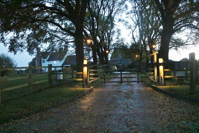
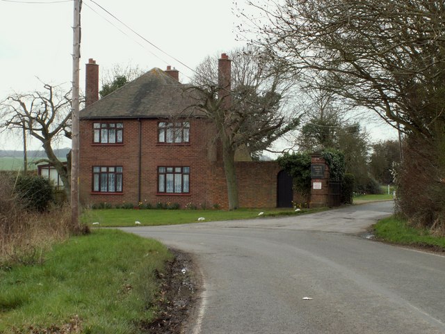
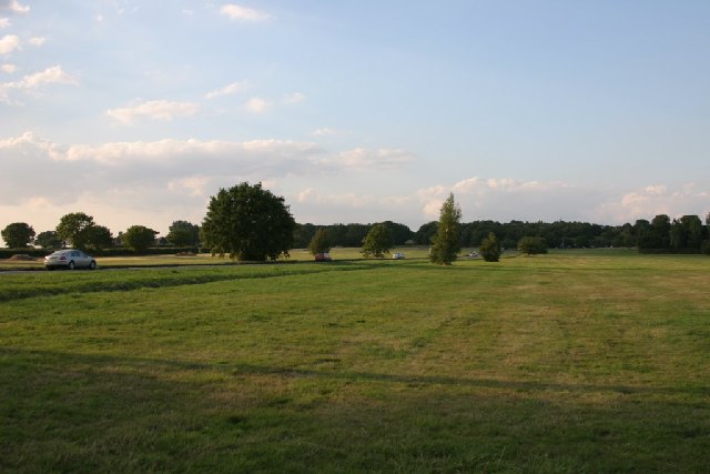
Baddow Park is a picturesque and historic park located in Chelmsford, Essex, England. Spanning over 35 hectares, the park is surrounded by lush greenery, mature trees, and beautiful landscapes, making it a popular destination for locals and visitors alike.

The park boasts a rich history, dating back to the 17th century when it was originally a deer park for King Henry VIII. Today, the remnants of the park's former grandeur can still be seen in the form of the historic Baddow Park House, a Grade II listed building that serves as a stunning centerpiece to the park.

Visitors to Baddow Park can enjoy a range of activities and amenities. The park is home to numerous walking trails, perfect for leisurely strolls or more adventurous hikes. There are also designated areas for picnicking, allowing visitors to take advantage of the park's serene ambiance and natural beauty.

For sports enthusiasts, Baddow Park offers a variety of facilities, including a cricket pitch, football fields, and tennis courts. These amenities provide opportunities for friendly matches, organized sports events, or simply enjoying a game with friends and family.

Furthermore, Baddow Park hosts a range of events throughout the year, such as community festivals, outdoor concerts, and charity fundraisers. These events contribute to the park's vibrant atmosphere and sense of community.

In conclusion, Baddow Park is a captivating destination that seamlessly blends history, natural beauty, and recreational activities. Whether you seek tranquility, exercise, or a place to connect with nature, Baddow Park offers something for everyone.

If you have any feedback on the listing, please let us know in the comments section below.

Baddow Park Images

Images are sourced within 2km of 51.690405/0.48702173 or Grid Reference TL7202. Thanks to Geograph Open Source API. All images are credited.

Ecclesiastical Parish boundary marker Ecclesiastical Parish Boundary Marker in the churchyard of St Michael and All Angels' church. Galleywood parish. Inscribed G C / St M C C / 1874 (Galleywood Common St Michael Consolidated Chapelry). Originally sited in 1874 at Tile Kiln Farm, one of ten marking the boundary of Galleywood Common ecclesiastical parish. Found in Oaklands Park and moved to the church in 2004. Reference <span class="nowrap"><a title="https://www.thegazette.co.uk/London/issue/24142/page/4766" rel="nofollow ugc noopener" href="https://www.thegazette.co.uk/London/issue/24142/page/4766">Link</a><img style="margin-left:2px;" alt="External link" title="External link - shift click to open in new window" src="https://s1.geograph.org.uk/img/external.png" width="10" height="10"/></span>.

Milestone Society National ID: EX_GALLEY01pb
Ecclesiastical Parish boundary marker
Ecclesiastical Parish Boundary Marker in the churchyard of St Michael and All Angels' church. Galleywood parish. Inscribed G C / St M C C / 1874 (Galleywood Common St Michael Consolidated Chapelry). Originally sited in 1874 at Tile Kiln Farm, one of ten marking the boundary of Galleywood Common ecclesiastical parish. Found in Oaklands Park and moved to the church in 2004. Reference LinkExternal link. Milestone Society National ID: EX_GALLEY01pb
Galleywood Vineyard and Winery The vineyard was established in 2009, and consists of three vineyards covering 20 acres. The white building, built in the style of a watermill, is the winery.
Galleywood Vineyard and Winery
The vineyard was established in 2009, and consists of three vineyards covering 20 acres. The white building, built in the style of a watermill, is the winery.
Footpath at Parklands Farm The footpath is also part of Parklands Off Road Riding Track
Footpath at Parklands Farm
The footpath is also part of Parklands Off Road Riding Track
West Hanningfield Road at the end of Brook Lane
The entrance to Baddow Park estate, Galleywood
A12 Chelmsford by-pass at Galleywood junction The A12 is a 129 mile long trunk road from London to Great Yarmouth. It runs through Greater London, Essex, Suffolk and Norfolk. It passes by Brentwood, Colchester and Ipswich as well as passing through Lowestoft.
<span class="nowrap"><a title="http://www.sabre-roads.org.uk/wiki/index.php?title=A12" rel="nofollow ugc noopener" href="http://www.sabre-roads.org.uk/wiki/index.php?title=A12">Link</a><img style="margin-left:2px;" alt="External link" title="External link - shift click to open in new window" src="https://s1.geograph.org.uk/img/external.png" width="10" height="10"/></span> 
Wikipedia: <span class="nowrap"><a title="http://en.wikipedia.org/wiki/A12_road_(England)" rel="nofollow ugc noopener" href="http://en.wikipedia.org/wiki/A12_road_(England)">Link</a><img style="margin-left:2px;" alt="External link" title="External link - shift click to open in new window" src="https://s1.geograph.org.uk/img/external.png" width="10" height="10"/></span>
A12 Chelmsford by-pass at Galleywood junction
The A12 is a 129 mile long trunk road from London to Great Yarmouth. It runs through Greater London, Essex, Suffolk and Norfolk. It passes by Brentwood, Colchester and Ipswich as well as passing through Lowestoft. LinkExternal link Wikipedia: LinkExternal link
The entrance to Lawn Cemetery, Great Baddow
Power lines crossing Vicarage Lane, Great Baddow
Fields by Vicarage Lane, Great Baddow
Brook Lane, Galleyend The barn opposite has been converted into a house.
Brook Lane, Galleyend
The barn opposite has been converted into a house.
Field by Brook Lane, Galleyend
Brook Lane, Galleyend
Isolated house on West Hanningfield Road
West Hanningfield Road south of Galleywood
Private Road off West Hanningfield Road It leads to Little Peverels Farm
Private Road off West Hanningfield Road
It leads to Little Peverels Farm
Farm entrance on West Hanningfield Road
Grassland by West Hanningfield Road
Show me another place!

Baddow Park is located at Grid Ref: TL7202 (Lat: 51.690405, Lng: 0.48702173)

Administrative County: Essex

District: Chelmsford

Police Authority: Essex

What 3 Words

///eliminate.shackles.cards. Near Stock, Essex

Nearby Locations

Galleywood Baddow Park

Related Wikis

Baddow Park

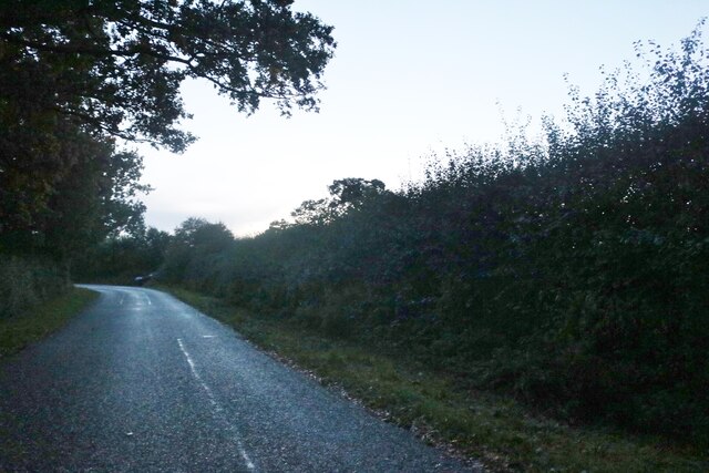
Baddow Park is a settlement in Essex, England. It is near the A12 road and is 3 kilometres (2 mi) south of the town of Chelmsford. == External links... ==

Galleywood

Galleywood is a village surrounded by countryside in Essex; it is situated on the outskirts of the city of Chelmsford, about 30 miles from London. The...
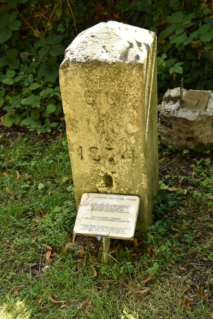
Galleywood Common

Galleywood Common is a 44.6 hectare Local Nature Reserve in Chelmsford in Essex, near the village of Galleywood. It is owned and managed by Chelmsford...

Marconi Research Centre

Marconi Research Centre is the former name of the current BAE Systems Applied Intelligence Laboratories facility at Great Baddow in Essex, United Kingdom...

A130 road

The A130 is a major road in England linking Little Waltham, near Chelmsford, the county town of Essex, with Canvey Island in the south of that county....

West Hanningfield

West Hanningfield is a small village and civil parish in south Essex, England. It is located approximately 5 mi (8.0 km) south-south-east of the county...

Great Baddow High School

Great Baddow High School is a comprehensive secondary school in Chelmsford, Essex, England. It is a sports college with academy status and with science...

Church of St Mary, Great Baddow

St Mary's Church is an active parish church in the village of Great Baddow, Essex, England. The church stands on the High Street in the centre of the village...

Nearby Amenities

Located within 500m of 51.690405,0.48702173
Bench
Lat/Long: 51.688722/0.4855612
Phone
Covered: no
Emergency: phone
Indoor: no
Lat/Long: 51.6902918/0.4841521
Parking
Access: yes
Fee: no
Parking: layby
Lat/Long: 51.6908586/0.487537
Parking
Parking: layby
Lat/Long: 51.6901671/0.4837015
Phone
Check Date: 2022-01-01
Emergency: phone
Lat/Long: 51.6909203/0.4878991
Man Made: survey_point
Lat/Long: 51.6886665/0.4854044
Bench
Backrest: no
Material: wood
Seats: 2
Lat/Long: 51.6879274/0.4825225
Material: wood
Power: pole
Lat/Long: 51.691956/0.4898371
Power: pole
Lat/Long: 51.6930975/0.4910843
Power: pole
Lat/Long: 51.6937284/0.4917857
The data included in this document is from www.openstreetmap.org. The data is made available under ODbL.

Have you been to Baddow Park?

Leave your review of Baddow Park below (or comments, questions and feedback).