Green Bottom

Settlement in Gloucestershire Forest of Dean

England

Green Bottom

St Anthony's Well Image of the historic well in woodland North-west of Flaxley.
St Anthony's Well Credit: Clint Mann

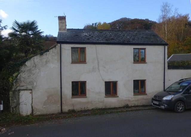
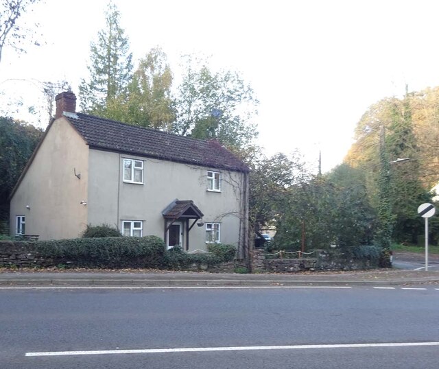
Green Bottom is a small village located in the county of Gloucestershire, in the southwest of England. Situated amidst rolling hills and picturesque countryside, this rural settlement is known for its idyllic charm and tranquil atmosphere.

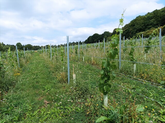
The village is characterized by its traditional English architecture, with many cottages and houses built using local stone. The surrounding area is primarily farmland, with lush green fields stretching as far as the eye can see. The village is blessed with an abundance of natural beauty, including a nearby river that meanders through the landscape, offering scenic views and opportunities for outdoor activities like fishing and boating.

Despite its small size, Green Bottom boasts a close-knit community that takes pride in preserving its heritage and maintaining a strong sense of community spirit. The village has a local pub, The Green Arms, which serves as a social hub for residents and visitors alike. Additionally, the village hall hosts various events throughout the year, including fairs, concerts, and community gatherings.

While Green Bottom may lack the amenities and conveniences of larger towns, it offers a peaceful and slower-paced lifestyle that appeals to those seeking a respite from the hustle and bustle of urban living. Its proximity to the Cotswolds, a designated Area of Outstanding Natural Beauty, ensures that residents and visitors have access to stunning landscapes, walking trails, and charming nearby villages.

In summary, Green Bottom in Gloucestershire is a quaint and picturesque village, offering a tranquil haven for those seeking a rural retreat amidst the beauty of the English countryside.

If you have any feedback on the listing, please let us know in the comments section below.
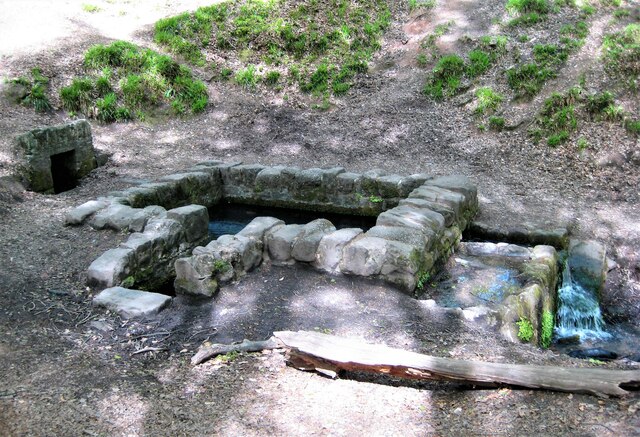
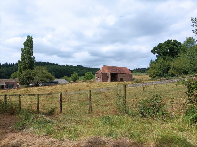
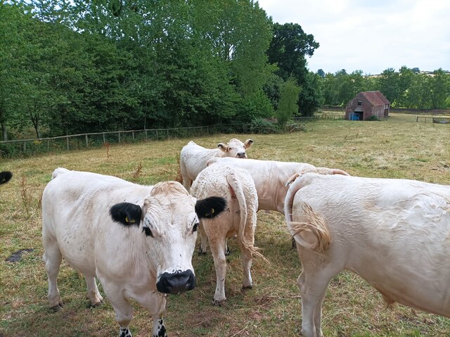
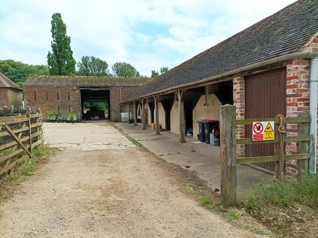
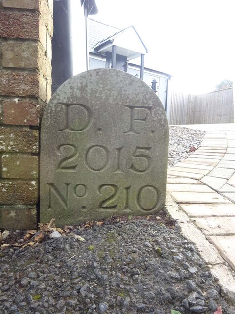
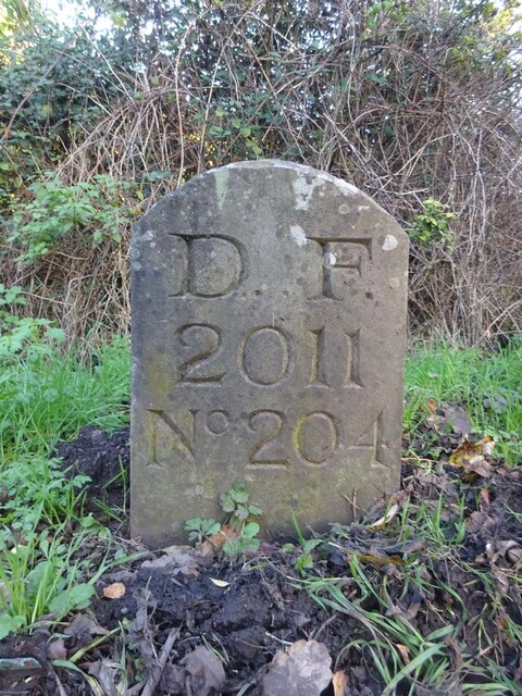
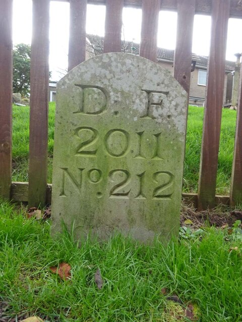
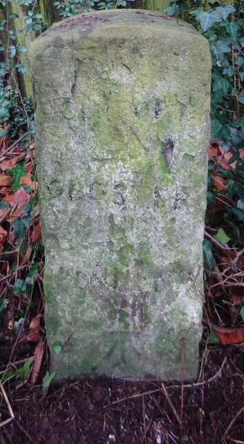
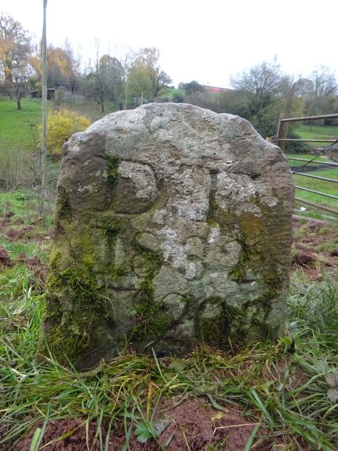
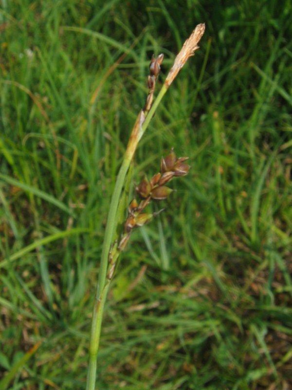
Green Bottom Images

Images are sourced within 2km of 51.836493/-2.473011 or Grid Reference SO6715. Thanks to Geograph Open Source API. All images are credited.

St Anthony's Well Image of the historic well in woodland North-west of Flaxley.
St Anthony's Well
Image of the historic well in woodland North-west of Flaxley.
Machinery in the woods Various pieces of equipment litter the woodland at the end of Jubilee Lane.
Machinery in the woods
Various pieces of equipment litter the woodland at the end of Jubilee Lane.
Barn in Home Farm, Flaxley This barn, possibly a former tithe barn, is now unused, although the field surrounding it is now used for cattle.
Barn in Home Farm, Flaxley
This barn, possibly a former tithe barn, is now unused, although the field surrounding it is now used for cattle.
White Park cattle The White Park cattle of Home Farm, Flaxley, with a possible former tithe barn in the background.
White Park cattle
The White Park cattle of Home Farm, Flaxley, with a possible former tithe barn in the background.
Yard in Home Farm, Flaxley Yard and barns used for storage.
Yard in Home Farm, Flaxley
Yard and barns used for storage.
Vineyard in Home Farm, Flaxley The most southerly of 3 vineyards owned by Kingsthorne on Home Farm. This vineyard contains Chardonnay only.
Vineyard in Home Farm, Flaxley
The most southerly of 3 vineyards owned by Kingsthorne on Home Farm. This vineyard contains Chardonnay only.
Old Boundary Stone, Littledean "Royal Forest of Dean boundary". In the parish of East Dean, at the slip road leading to Camp Farm, between Littledean and Elton. In a retaining wall. Interestingly, 12.5 metres due South of this stone, in 1877, a hemispherical parcel of land was an exclave of Westbury on Severn, bisecting a farm building.

Inscription: D.F / 1832 / Nᴼ. 202

Milestone Society National ID: GL_DFLITT202em
Old Boundary Stone, Littledean
"Royal Forest of Dean boundary". In the parish of East Dean, at the slip road leading to Camp Farm, between Littledean and Elton. In a retaining wall. Interestingly, 12.5 metres due South of this stone, in 1877, a hemispherical parcel of land was an exclave of Westbury on Severn, bisecting a farm building. Inscription: D.F / 1832 / Nᴼ. 202 Milestone Society National ID: GL_DFLITT202em
Old Boundary Stone, Littledean Hill In the private garden of "Oak Ridge" in the Ruffitt. An original 1832 Forest of Dean boundary marker. 

Inscription: D.F / 1832 / Nᴼ. 209

Milestone Society National ID: GL_DFCINLIT209em
Old Boundary Stone, Littledean Hill
In the private garden of "Oak Ridge" in the Ruffitt. An original 1832 Forest of Dean boundary marker. Inscription: D.F / 1832 / Nᴼ. 209 Milestone Society National ID: GL_DFCINLIT209em
Boundary Stone, Cinderford On the corner of Littledean Hill Road, and the chamfered corner of the former Royal Forrester pub. Technically on private land but effectively just off the road.
The context view of the ex pub is <a href="https://www.geograph.org.uk/photo/4430088">SO6614 : Former Royal Forester, Cinderford</a>

Inscription: D.F / 2008 / Nᴼ. 211

Milestone Society National ID: GL_DFCINLIT211em
Boundary Stone, Cinderford
On the corner of Littledean Hill Road, and the chamfered corner of the former Royal Forrester pub. Technically on private land but effectively just off the road. The context view of the ex pub is SO6614 : Former Royal Forester, Cinderford Inscription: D.F / 2008 / Nᴼ. 211 Milestone Society National ID: GL_DFCINLIT211em
Boundary Stone, Littledean Hill On the Southern side of the road (the Ruffitt) in the driveway of "Stone Cottage".

Inscription: D.F / 2015 / Nᴼ. 210

Milestone Society National ID: GL_DFCINLIT210em
Boundary Stone, Littledean Hill
On the Southern side of the road (the Ruffitt) in the driveway of "Stone Cottage". Inscription: D.F / 2015 / Nᴼ. 210 Milestone Society National ID: GL_DFCINLIT210em
Boundary Stone, Denton's Corner In the junction of the A4151 Elton Road with the Slad and Greenway. In the parish of Littledean near Littledean Jail.

Inscription: D.F / 2011 / Nᴼ. 204

Milestone Society National ID: GL_DFLITT204em
Boundary Stone, Denton's Corner
In the junction of the A4151 Elton Road with the Slad and Greenway. In the parish of Littledean near Littledean Jail. Inscription: D.F / 2011 / Nᴼ. 204 Milestone Society National ID: GL_DFLITT204em
Boundary Stone, Cinderford On the corner of Edge Hills Road and Causeway Road. Just to confuse, the houses above are addressed as being in Wedgewood Crescent. Including 9 and 10, clearly in Edge Hills Road.

Inscription: D.F. / 2011 / Nᴼ. 212

Milestone Society National ID: GL_DFCIND212em
Boundary Stone, Cinderford
On the corner of Edge Hills Road and Causeway Road. Just to confuse, the houses above are addressed as being in Wedgewood Crescent. Including 9 and 10, clearly in Edge Hills Road. Inscription: D.F. / 2011 / Nᴼ. 212 Milestone Society National ID: GL_DFCIND212em
Pike House, George Road, Littledean Former Toll House opposite Greenway. Used by the Forest of Dean Turnpike Trust in the 19th Century. See on the map of GB (UK) Toll houses <span class="nowrap"><a title="http://gbth.mister.red/#13/51.828/-2.47859" rel="nofollow ugc noopener" href="http://gbth.mister.red/#13/51.828/-2.47859">Link</a><img style="margin-left:2px;" alt="External link" title="External link - shift click to open in new window" src="https://s1.geograph.org.uk/img/external.png" width="10" height="10"/></span>

Milestone Society National ID: GL.LIT01
Pike House, George Road, Littledean
Former Toll House opposite Greenway. Used by the Forest of Dean Turnpike Trust in the 19th Century. See on the map of GB (UK) Toll houses LinkExternal link Milestone Society National ID: GL.LIT01
Denton's Corner, Littledean A4151 Former Toll House at Denton's Corner where Greenway and the Slad meet the A4151 Gloucester Road. This building served the Elton Turnpike Trust in the 19ᵗʰ Century.

Milestone Society National ID: GL.LIT03
Denton's Corner, Littledean A4151
Former Toll House at Denton's Corner where Greenway and the Slad meet the A4151 Gloucester Road. This building served the Elton Turnpike Trust in the 19ᵗʰ Century. Milestone Society National ID: GL.LIT03
Old Milestone opposite Cherry Tree Farm, Carved stone post by the A4151, in parish of WESTBURY ON SEVERN (FOREST OF DEAN District),
behind railings, on the North side of road. The carved Benchmark  represents 47.3 m ASL.
EC stone, erected by the Forest of Dean turnpike trust in the 19ᵗʰ century.
An earlier image is <a href="https://www.geograph.org.uk/photo/6049831">SO6814 : Old Milestone by the A4151, Cherry Tree Farm, Westbury on Severn parish</a>.

Inscription reads: COLEFORD / 8 / GLOSTER / 11 / LONDON / (??)

Milestone Society National ID: GL_ELCO02
Old Milestone opposite Cherry Tree Farm,
Carved stone post by the A4151, in parish of WESTBURY ON SEVERN (FOREST OF DEAN District), behind railings, on the North side of road. The carved Benchmark represents 47.3 m ASL. EC stone, erected by the Forest of Dean turnpike trust in the 19ᵗʰ century. An earlier image is SO6814 : Old Milestone by the A4151, Cherry Tree Farm, Westbury on Severn parish. Inscription reads: COLEFORD / 8 / GLOSTER / 11 / LONDON / (??) Milestone Society National ID: GL_ELCO02
Old Boundary Stone, Flaxley In a field South of Hangman's Hill and SE of Flaxley church. It marks the boundary of the "Forest of Dean".

Inscription: D. F / 1832 / Nᴼ. 195

Milestone Society National ID: GL_DFLIBL195em
Old Boundary Stone, Flaxley
In a field South of Hangman's Hill and SE of Flaxley church. It marks the boundary of the "Forest of Dean". Inscription: D. F / 1832 / Nᴼ. 195 Milestone Society National ID: GL_DFLIBL195em
Old Boundary Stone, In a field North of the A4151, just beyond the dead end of a Public Right of Way.
It marks the boundary of the "Forest of Dean", and is on the boundary of East Dean and Littledean (1950 parishes).

Inscription: D. F / 1832 / Nᴼ. 203

Milestone Society National ID: GL_DFLITT203em
Old Boundary Stone,
In a field North of the A4151, just beyond the dead end of a Public Right of Way. It marks the boundary of the "Forest of Dean", and is on the boundary of East Dean and Littledean (1950 parishes). Inscription: D. F / 1832 / Nᴼ. 203 Milestone Society National ID: GL_DFLITT203em
Boundary Stone, A4151 Elton Opposite New Road, on the verge set back from the highway. The inscription is of 1832 but the typeface is not Victorian.
It may be that a replacement stone was installed after road widening and bend easing (deduced comparing old maps).
It marks the boundary of the "Forest of Dean", and is on the boundary of East Dean and Westbury on Severn (1950 parishes).

Inscription: D. F / 1832 / Nᴼ. 201

Milestone Society National ID: GL_DFLIWS201em
Boundary Stone, A4151 Elton
Opposite New Road, on the verge set back from the highway. The inscription is of 1832 but the typeface is not Victorian. It may be that a replacement stone was installed after road widening and bend easing (deduced comparing old maps). It marks the boundary of the "Forest of Dean", and is on the boundary of East Dean and Westbury on Severn (1950 parishes). Inscription: D. F / 1832 / Nᴼ. 201 Milestone Society National ID: GL_DFLIWS201em
Show me another place!

Green Bottom is located at Grid Ref: SO6715 (Lat: 51.836493, Lng: -2.473011)

Administrative County: Gloucestershire

District: Forest of Dean

Police Authority: Gloucestershire

What 3 Words

///worlds.both.auctioned. Near Cinderford, Gloucestershire

Related Wikis

Welshbury Hill

Welshbury Hill is an Iron Age hill fort near Mitcheldean in Gloucestershire, England. It is thought to have been built by Celts and dates back to 1600...

Gun's Mills, Flaxley

Gun's Mills, at Flaxley, in the Forest of Dean, Gloucestershire, England, was a major industrial site from the 17th century. Originally built as an armaments...

Pope's Hill

Pope's Hill is a hill and a small village situated in the east of the Forest of Dean, Gloucestershire within the parish of Littledean. The hill is 12 miles...

Flaxley Abbey

Flaxley Abbey is a former Cistercian monastery in England, now a Grade I listed manor and private residence, near the village of Flaxley in the Forest...

Edgehills Bog

Edgehills Bog (grid reference SO660154) is a 0.66-hectare (1.6-acre) nature reserve in Gloucestershire in the Forest of Dean.The site is managed by the...

The Forest High School, Cinderford

Forest High School is a coeducational secondary school with academy status, located in Cinderford in the English county of Gloucestershire.The school was...

Flaxley

Flaxley is a small settlement and former civil parish, now in the parish of Blaisdon, in the Forest of Dean, Gloucestershire, England. It is located in...

Westbury Brook Ironstone Mine

Westbury Brook Ironstone Mine (grid reference SO662166) is a 15.69-hectare (38.8-acre) biological Site of Special Scientific Interest in Gloucestershire...

Nearby Amenities

Located within 500m of 51.836493,-2.473011
Tibbscross
Is In: Gloucestershire, England, UK
Is In District: Forest of Dean
Place: hamlet
Lat/Long: 51.8333611/-2.4728472
Green Bottom
Is In: Gloucestershire, England, UK
Is In District: Forest of Dean
Place: hamlet
Lat/Long: 51.8354649/-2.4756383
Place Of Worship
Green Bottom Baptist Chapel
Denomination: baptist
Religion: christian
Lat/Long: 51.8352397/-2.4749304
Drinking Water
Description: Tibbs cross Pipe coming down the bank. Can get up to 5 gallon containers into flow. Water is _only_ clean in the pipe - do not fill from the puddle.
Source: wetap.org
Wetap Status: unknown
Wetap Statusnote: tested as clean by Perrier or Evian about 1990
Lat/Long: 51.840485/-2.472808
The data included in this document is from www.openstreetmap.org. The data is made available under ODbL.

Have you been to Green Bottom?

Leave your review of Green Bottom below (or comments, questions and feedback).