Dam Pit

Lake, Pool, Pond, Freshwater Marsh in Huntingdonshire Huntingdonshire

England

Dam Pit

After the rain
After the rain Credit: Gordon Brown

Dam Pit is a freshwater marsh located in Huntingdonshire, England. Spread over an area of approximately 50 acres, it is an important habitat for various aquatic flora and fauna. The pit is primarily fed by natural springs and rainfall, ensuring a constant supply of fresh water.

Surrounded by lush greenery, the site features a diverse range of plant species, including reeds, rushes, and water lilies. These plants not only provide shelter and breeding grounds for numerous waterbirds but also contribute to the overall aesthetic beauty of the area.

The pit is home to a rich variety of wildlife, making it a popular spot for nature enthusiasts and birdwatchers. It serves as a nesting ground for several species of ducks, swans, and geese, while also attracting visiting birds during migration seasons. Common sightings include mallards, tufted ducks, and great crested grebes.

Additionally, the pit supports a thriving population of fish, such as perch, roach, and pike. Anglers often frequent the area to try their luck in catching these prized freshwater species.

For visitors, there are walking paths and observation points strategically placed around the pit, allowing them to explore and appreciate the natural surroundings. It is important to note that the area is protected by local conservation efforts, ensuring the preservation of its ecological integrity.

In conclusion, Dam Pit in Huntingdonshire is a picturesque freshwater marsh, offering a haven for a wide range of plant and animal life. Its serene ambiance and abundant biodiversity make it a cherished destination for both locals and tourists alike.

If you have any feedback on the listing, please let us know in the comments section below.

Dam Pit Images

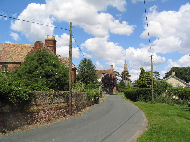
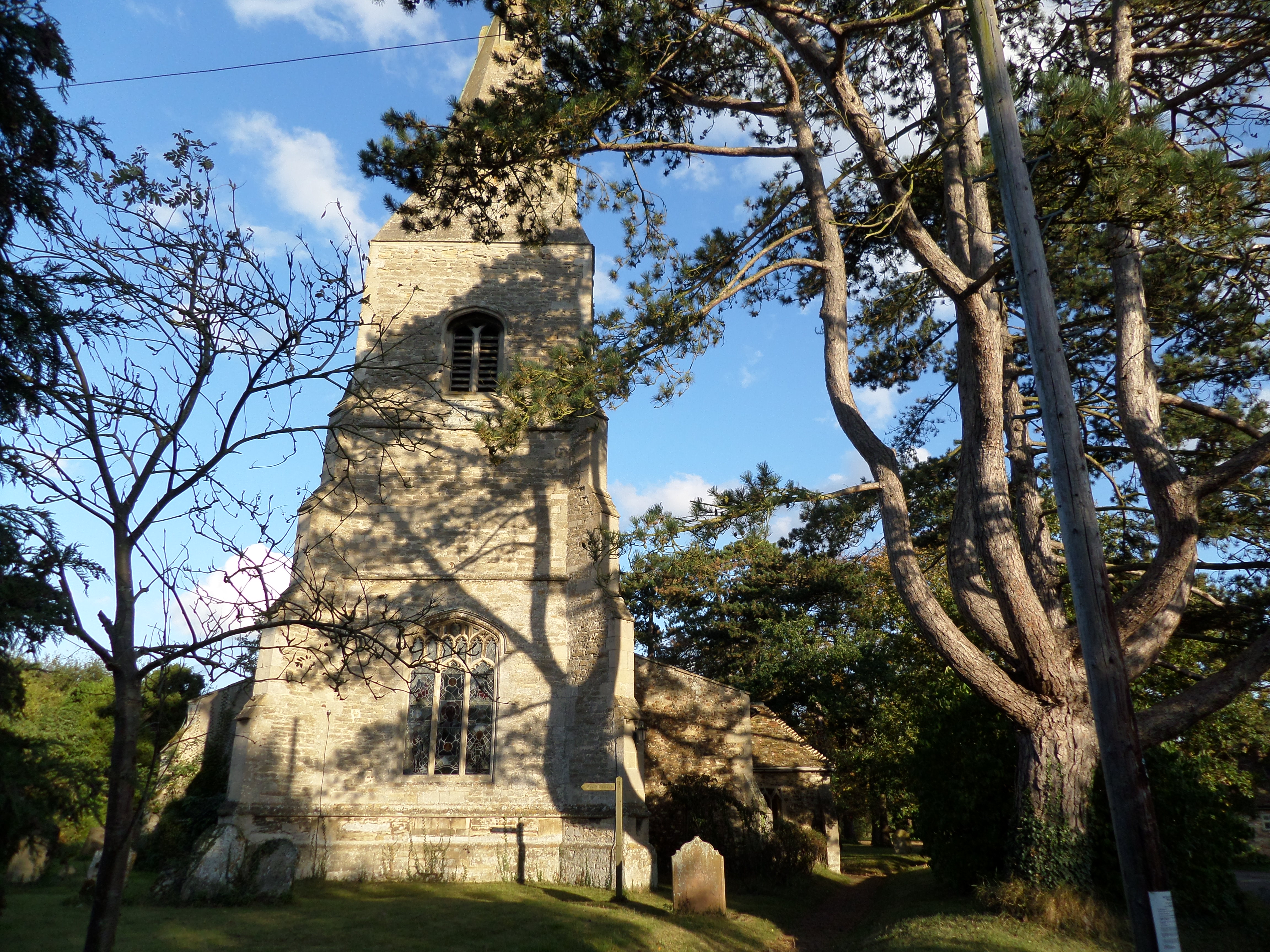
Images are sourced within 2km of 52.380766/-0.12208743 or Grid Reference TL2777. Thanks to Geograph Open Source API. All images are credited.

After the rain
After the rain
Harvest in
Harvest in
Through the gate to New Barn
Field and trees Sewage works are completely hidden by the tall trees, middle distance.
Field and trees
Sewage works are completely hidden by the tall trees, middle distance.
Holborn Farm
Holborn Farm
St Peter Kings Ripton
Towards Wistow
Towards Wistow
Towards Kings Ripton
Concrete storage area Interesting piles of something that are no doubt of some use to the farmer!
Concrete storage area
Interesting piles of something that are no doubt of some use to the farmer!
Country Crossroads A quiet moment during the rush hour.
Country Crossroads
A quiet moment during the rush hour.
Barns near Broughton
Village Hall, Broughton Formerly the School, dating from 1842
Village Hall, Broughton
Formerly the School, dating from 1842
Entering Broughton The village has many fine old houses.
Entering Broughton
The village has many fine old houses.
Track from Lodge Farm
Farm buildings on track from Lodge Farm
Illings Lane Marked as a 'Droveway'. Fairly rutted in parts - not ideal for a bike.
Illings Lane
Marked as a 'Droveway'. Fairly rutted in parts - not ideal for a bike.
End of Illings Lane The lane north from Broughton ends as a grassy track which swings right at this point. However, the public footpath continues straight ahead, through the trees, for another 2 km to Wistow.
End of Illings Lane
The lane north from Broughton ends as a grassy track which swings right at this point. However, the public footpath continues straight ahead, through the trees, for another 2 km to Wistow.
Crash exit 3 Wyton airfield Crash exit 3 Wyton airfield
Crash exit 3 Wyton airfield
Show me another place!

Dam Pit is located at Grid Ref: TL2777 (Lat: 52.380766, Lng: -0.12208743)

Administrative County: Cambridgeshire

District: Huntingdonshire

Police Authority: Cambridgeshire

What 3 Words

///crate.parsnips.surfaces. Near Warboys, Cambridgeshire

Nearby Locations

Dam Pit

Related Wikis

Broughton, Cambridgeshire

Broughton is a village and civil parish in the Huntingdonshire district of Cambridgeshire, England, around six miles north of Huntingdon. Broughton is...

Hurstingstone (hundred)

Hurstingstone was a hundred of Huntingdonshire, England that was mentioned in the Domesday Book of 1086. According to Victoria County History, the derivation...

Kings Ripton

Kings Ripton (traditionally King's Ripton) is a village and civil parish in Cambridgeshire, England. Kings Ripton lies approximately 3 miles (5 km) north...

Old Hurst

Old Hurst is a village and civil parish in Cambridgeshire, England, approximately 5 miles (8 km) north-east of Huntingdon. It is situated within Huntingdonshire...

Nearby Amenities

Located within 500m of 52.380766,-0.12208743
Broughton
Created By: Merkaartor 0.12
Place: village
Source Name: local knowledge
Lat/Long: 52.3834582/-0.1185857
Created By: Merkaartor 0.12
Lat/Long: 52.3813691/-0.1157748
Created By: Merkaartor 0.12
Lat/Long: 52.3786767/-0.1171296
Bus Stop
School Road
Alt Name: Crown Inn
Bus: yes
Naptan AltCommonName: Crown Inn
Naptan AtcoCode: 0500HBROU002
Naptan Bearing: N
Naptan BusStopType: CUS
Naptan CommonName: School Road
Naptan Indicator: near
Naptan Landmark: School Road
Naptan NaptanCode: cmbdmtjt
Naptan ShortCommonName: School Road
Naptan Street: Bridge Road
Naptan Verified: no
Public Transport: platform
Source: naptan_import
Lat/Long: 52.3838483/-0.1199935
Bus Stop
School Road
Alt Name: Crown Inn
Bus: yes
Naptan AltCommonName: Crown Inn
Naptan AtcoCode: 0500HBROU003
Naptan Bearing: S
Naptan BusStopType: CUS
Naptan CommonName: School Road
Naptan Crossing: School Road
Naptan Indicator: opp
Naptan Landmark: School Road
Naptan NaptanCode: cmbgjmta
Naptan ShortCommonName: School Road
Naptan Street: Bridge Road
Naptan Verified: no
Public Transport: platform
Source: naptan_import
Lat/Long: 52.3837575/-0.1199386
Pub
The Crown Inn
Website: http://www.thecrowninnrestaurant.co.uk/
Wikidata: Q26456161
Lat/Long: 52.3838226/-0.1196618
Telephone
Booth: K6
Covered: booth
Man Made: telephone_box
Lat/Long: 52.3822562/-0.1213501
Recycling
Recycling Type: container
Lat/Long: 52.3849151/-0.1217539
Post Box
Post Box Type: pillar
Lat/Long: 52.3838724/-0.1199225
Broughton Lock Up
Historic: monument
Note: prison built around 1840
Lat/Long: 52.3842361/-0.1189738
Barrier: stile
Lat/Long: 52.3819166/-0.1247437
Barrier: stile
Lat/Long: 52.3836985/-0.123052
Barrier: stile
Lat/Long: 52.3835268/-0.1178406
Power: pole
Lat/Long: 52.3812153/-0.1178885
Power: pole
Lat/Long: 52.3837431/-0.1193853
Power: pole
Lat/Long: 52.3822467/-0.1184303
Power: pole
Lat/Long: 52.3805932/-0.1175639
Power: pole
Lat/Long: 52.3778688/-0.1172344
Power: pole
Lat/Long: 52.3778081/-0.122467
Power: pole
Lat/Long: 52.3778621/-0.1183768
Power: pole
Lat/Long: 52.3788527/-0.1163034
Power: pole
Lat/Long: 52.3777819/-0.1265387
Power: pole
Lat/Long: 52.3778441/-0.121606
Power: pole
Lat/Long: 52.3778572/-0.1194255
Power: pole
Lat/Long: 52.3778196/-0.123473
Power: pole
Lat/Long: 52.3835581/-0.1189023
Power: pole
Lat/Long: 52.3777982/-0.125549
Power: pole
Lat/Long: 52.379565/-0.1168318
Power: pole
Lat/Long: 52.3832274/-0.1189318
Power: pole
Lat/Long: 52.3778065/-0.1245108
Power: pole
Lat/Long: 52.3778441/-0.1204555
Barrier: stile
Lat/Long: 52.3833698/-0.1234305
Barrier: stile
Lat/Long: 52.3807069/-0.1262371
Bench
Lat/Long: 52.3818842/-0.1215921
Barrier: stile
Lat/Long: 52.3816705/-0.1220223
Barrier: stile
Lat/Long: 52.3813853/-0.1232378
Barrier: stile
Lat/Long: 52.3828445/-0.1175552
Barrier: stile
Lat/Long: 52.3839838/-0.1184873
Millenium Beacon
Historic: monument
Lat/Long: 52.3842703/-0.1187702
Village Sign
Historic: monument
Lat/Long: 52.384375/-0.1188963
The data included in this document is from www.openstreetmap.org. The data is made available under ODbL.

Have you been to Dam Pit?

Leave your review of Dam Pit below (or comments, questions and feedback).