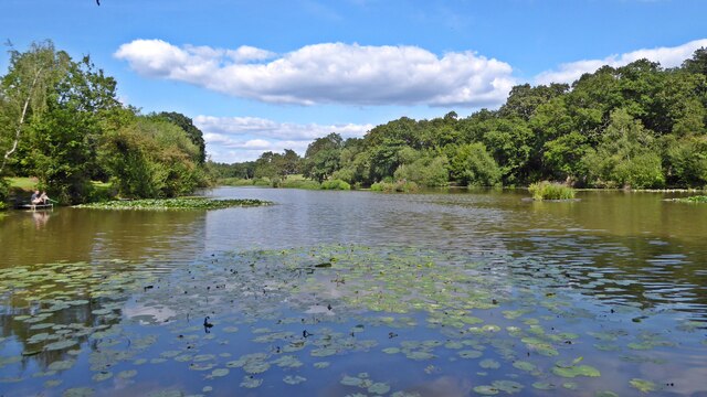
Beech Hill Lake
Lake, Pool, Pond, Freshwater Marsh in Middlesex
England
Beech Hill Lake

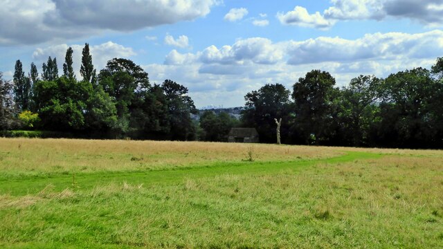
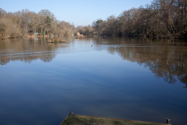
Beech Hill Lake is a natural freshwater lake located in Middlesex County, Massachusetts. It covers an area of approximately 50 acres and is surrounded by lush vegetation, including beech trees, which give the lake its name. The lake is situated in a picturesque setting, nestled amidst rolling hills and picturesque landscapes.
The lake is renowned for its clear and clean water, making it a popular destination for swimming and other water activities. Its average depth is around 15 feet, with some areas reaching up to 30 feet. The lake is fed by nearby streams and springs, ensuring a constant flow of fresh water.
Beech Hill Lake also serves as a habitat for various species of fish, including bass, trout, and perch, making it a favorite spot for fishing enthusiasts. The lake is regularly stocked with fish to maintain its biodiversity and provide ample opportunities for anglers.
Surrounding the lake is a diverse ecosystem, including a freshwater marsh, which provides a habitat for numerous species of birds, amphibians, and reptiles. Birdwatchers often flock to the lake to catch a glimpse of herons, ducks, and other waterfowl.
Visitors to Beech Hill Lake can enjoy a range of recreational activities, such as boating, kayaking, and canoeing. There is also a designated swimming area with a sandy beach, perfect for families to relax and enjoy the sun.
Overall, Beech Hill Lake is a beautiful and serene destination, offering a variety of outdoor activities and the opportunity to appreciate the natural beauty of Middlesex County.
If you have any feedback on the listing, please let us know in the comments section below.
Beech Hill Lake Images
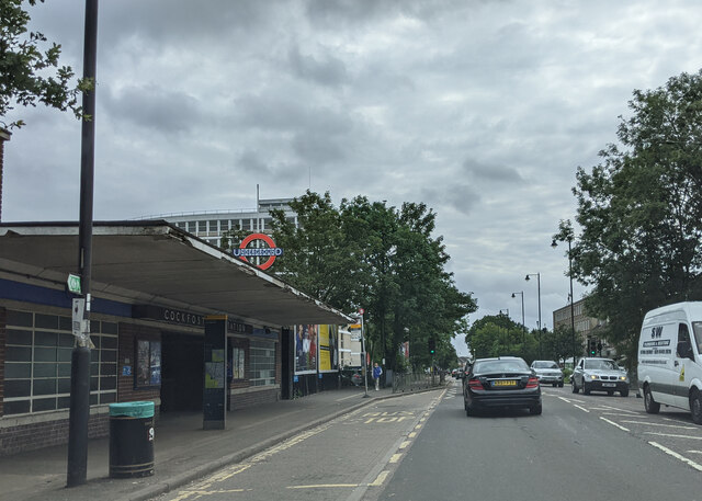
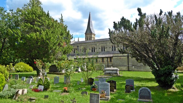
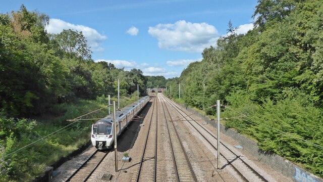
Images are sourced within 2km of 51.657658/-0.16340771 or Grid Reference TQ2797. Thanks to Geograph Open Source API. All images are credited.


Beech Hill Lake is located at Grid Ref: TQ2797 (Lat: 51.657658, Lng: -0.16340771)
Unitary Authority: Barnet
Police Authority: Metropolitan
What 3 Words
///care.flows.stone. Near Hadley Wood, London
Nearby Locations
Related Wikis

Ludgrove
Ludgrove, or Ludgrave, or Ludgraves, was an estate and farm in Middlesex between Monken Hadley in the west and Cockfosters in the east in what is now north...
Ludgrove Hall
Ludgrove Hall is an historic manor house in the parish of Monken Hadley, formerly within the county of Middlesex. Today the property has been overtaken...
Folly Farm, Barnet
Folly Farm, originally Folly House, on the southern edge of Monken Hadley Common, was a farm that dated from 1686 and became a popular recreation site...
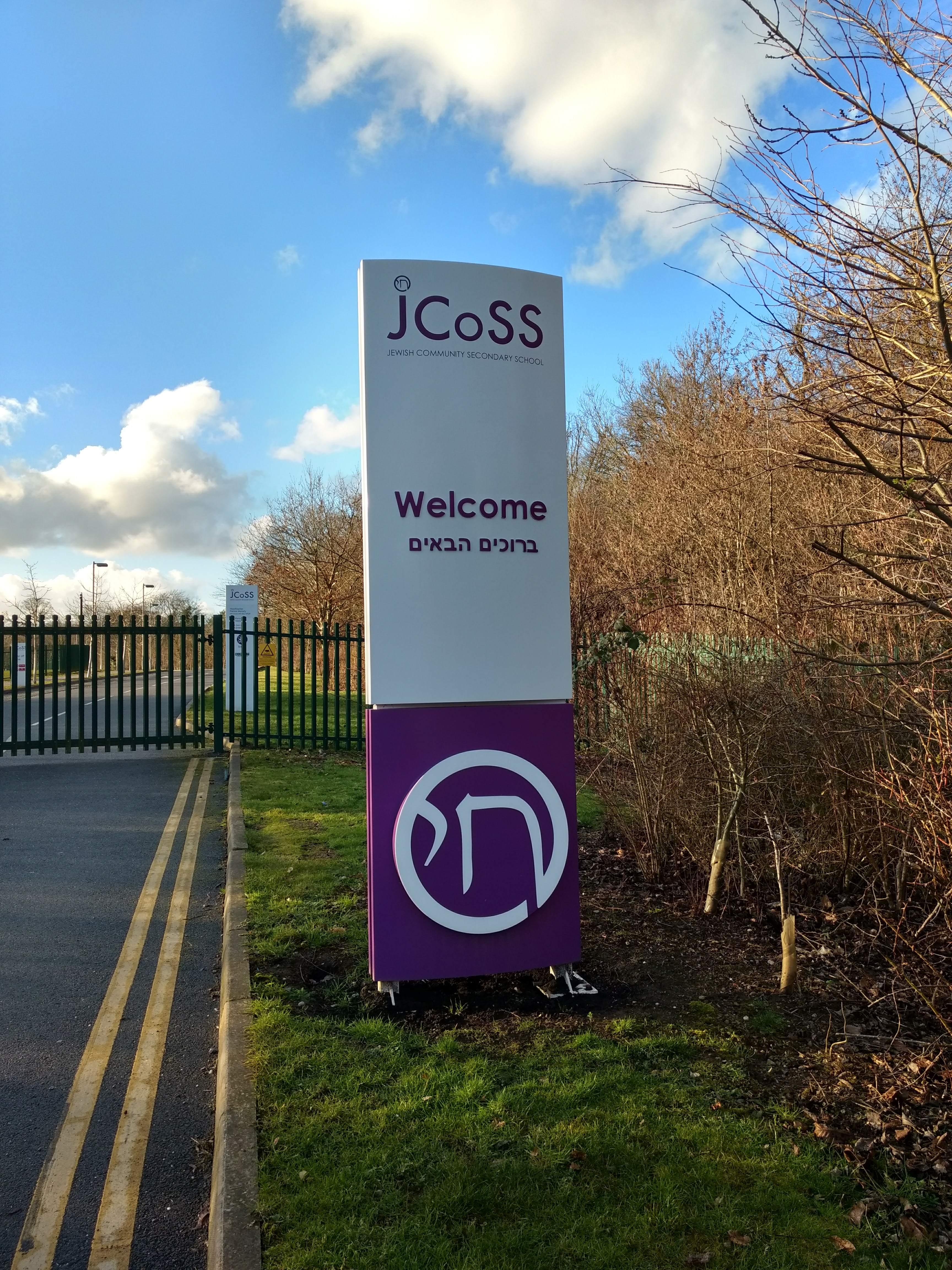
Jewish Community Secondary School
The Jewish Community Secondary School (JCoSS) is a state-funded Jewish secondary school in New Barnet, London. Established in 2010, it is the first cross...
Nearby Amenities
Located within 500m of 51.657658,-0.16340771Have you been to Beech Hill Lake?
Leave your review of Beech Hill Lake below (or comments, questions and feedback).