Towers Pond
Lake, Pool, Pond, Freshwater Marsh in Hertfordshire Stevenage
England
Towers Pond
Towers Pond is a freshwater body located in Hertfordshire, England. Situated amidst serene surroundings, this natural feature attracts visitors with its captivating beauty and diverse ecosystem. The pond is a haven for various aquatic species, making it an ideal spot for nature enthusiasts and wildlife observers.
Covering an area of approximately [insert size] square meters, Towers Pond is a tranquil waterbody surrounded by lush vegetation and picturesque landscapes. It is primarily fed by rainwater and small streams, ensuring a constant flow of freshwater. The pond is home to a wide variety of aquatic plants, including lilies, water hyacinths, and reeds, which provide essential habitats for many species of fish, amphibians, and invertebrates.
Visitors to Towers Pond can enjoy a range of recreational activities. Fishing is a popular pastime, with anglers often seeking the pond's abundant population of carp, tench, and roach. The calm waters also attract birdwatchers, who can spot a diverse array of avian species such as swans, ducks, herons, and kingfishers. Additionally, the pond offers an opportunity for leisurely walks along its banks, allowing visitors to immerse themselves in the tranquility of the natural environment.
Towers Pond is managed by local conservation authorities, who ensure the preservation of its ecosystem and the provision of amenities for visitors. This includes the maintenance of well-marked footpaths, seating areas, and occasional educational events to raise awareness about the importance of preserving freshwater habitats.
Overall, Towers Pond serves as a valuable natural resource, providing a peaceful retreat for both wildlife and humans alike. Its unique blend of scenic beauty and ecological significance makes it a cherished feature of Hertfordshire's landscape.
If you have any feedback on the listing, please let us know in the comments section below.
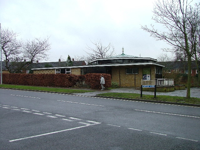
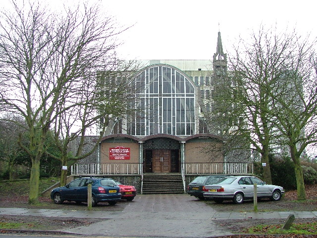
Towers Pond Images
Images are sourced within 2km of 51.899506/-0.20039373 or Grid Reference TL2323. Thanks to Geograph Open Source API. All images are credited.


Towers Pond is located at Grid Ref: TL2323 (Lat: 51.899506, Lng: -0.20039373)
Administrative County: Hertfordshire
District: Stevenage
Police Authority: Hertfordshire
What 3 Words
///magma.torch.into. Near Stevenage, Hertfordshire
Nearby Locations
Related Wikis

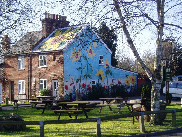
List of local nature reserves in Hertfordshire
Hertfordshire is a county in eastern England. It is bordered by Bedfordshire to the north, Cambridgeshire to the north-east, Essex to the east, Buckinghamshire...

Stevenage Borough Council
Stevenage Borough Council is the local authority for the Stevenage non-metropolitan district of England, the United Kingdom. Stevenage is located in the...

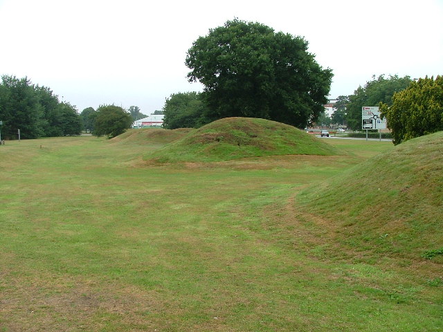
Six Hills
The Six Hills are a collection of Roman barrows situated alongside the old Great North Road on Six Hills Common in Stevenage, Hertfordshire, England....

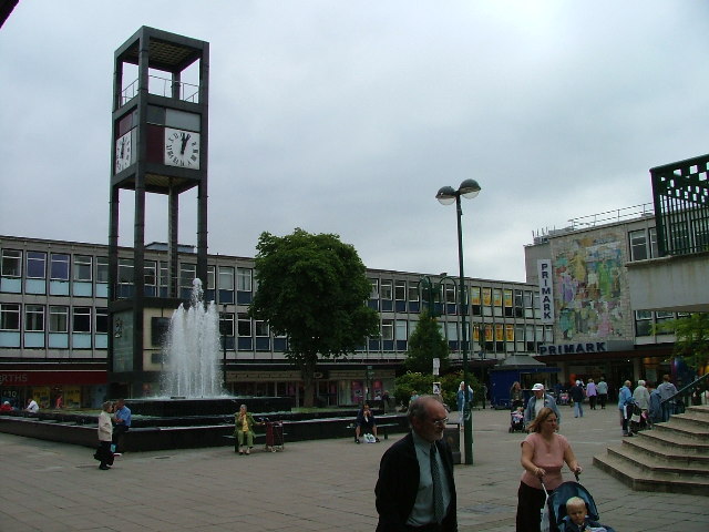
Stevenage Clock Tower
Stevenage Clock Tower is a Grade II listed structure in Town Square in the centre of Stevenage New Town. A panel on the tower records the visit of Elizabeth...

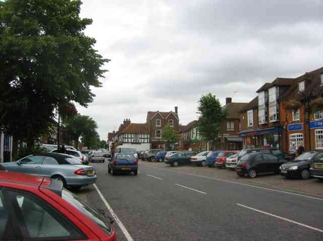
Stevenage
Stevenage ( STEE-vən-ij) is a large town and borough in Hertfordshire, England, about 27 miles (43 km) north of London. Stevenage is east of junctions...
North Hertfordshire College
North Hertfordshire College ("NHC") is a further education and higher education college operating in Stevenage, Hitchin, and Letchworth Garden City. NHC...

Women's Engineering Society
The Women's Engineering Society is a United Kingdom professional learned society and networking body for women engineers, scientists and technologists...

Stevenage Mail Centre
Stevenage mail centre was a Royal Mail mail centre in Stevenage, Hertfordshire, England. In 2010, Royal Mail announced that a number of sorting offices...
Nearby Amenities
Located within 500m of 51.899506,-0.20039373Have you been to Towers Pond?
Leave your review of Towers Pond below (or comments, questions and feedback).