Greave

Settlement in Lancashire

England

Greave

Former Rochdale to Bacup Railway Trackbed at Shawclough Start of trail on trackbed with Dell Road retaining wall to the left
Former Rochdale to Bacup Railway Trackbed at Shawclough Credit: Kevin Waterhouse

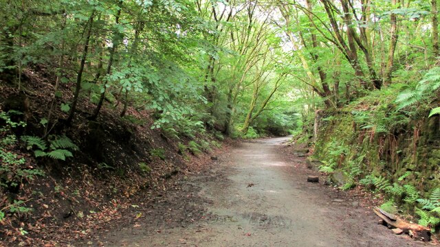
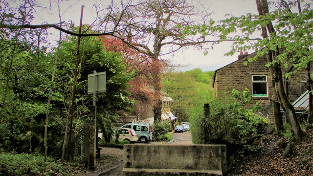
Greave is a small village located in the county of Lancashire, England. Situated in the picturesque valley of Rossendale, it lies approximately 15 miles north of Manchester. The village is surrounded by rolling hills and offers stunning views of the countryside.

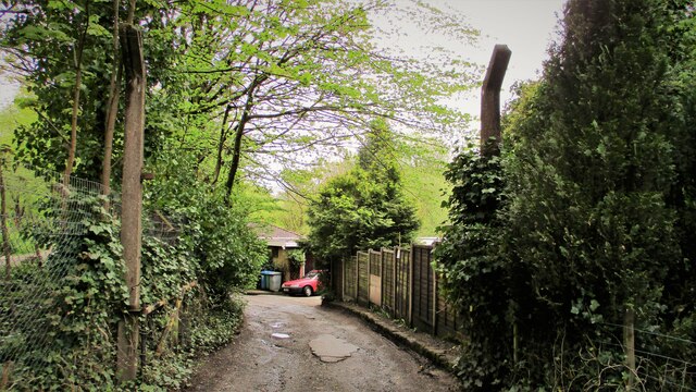
Historically, Greave was primarily an agricultural community, with farming being the main occupation of its inhabitants. Over the years, the village has seen some industrial development, particularly in the textile industry during the 19th century. However, today, Greave is primarily a residential area, with a close-knit community that takes pride in its rural charm.

One of the notable features of Greave is its beautiful local church, St. Mary's Church, which dates back to the 16th century. The church is a prominent landmark in the village and holds regular services for the local residents.

Despite its small size, Greave offers a range of amenities to its residents. There is a local primary school, a village hall, and a handful of shops and businesses. The village also benefits from its close proximity to larger towns, such as Rochdale and Bury, which provide additional facilities and services.

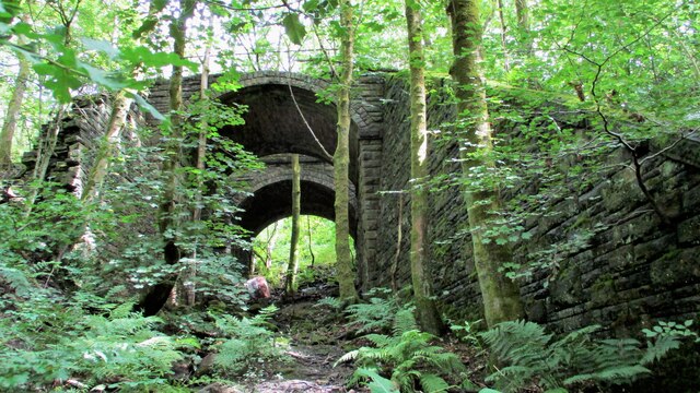
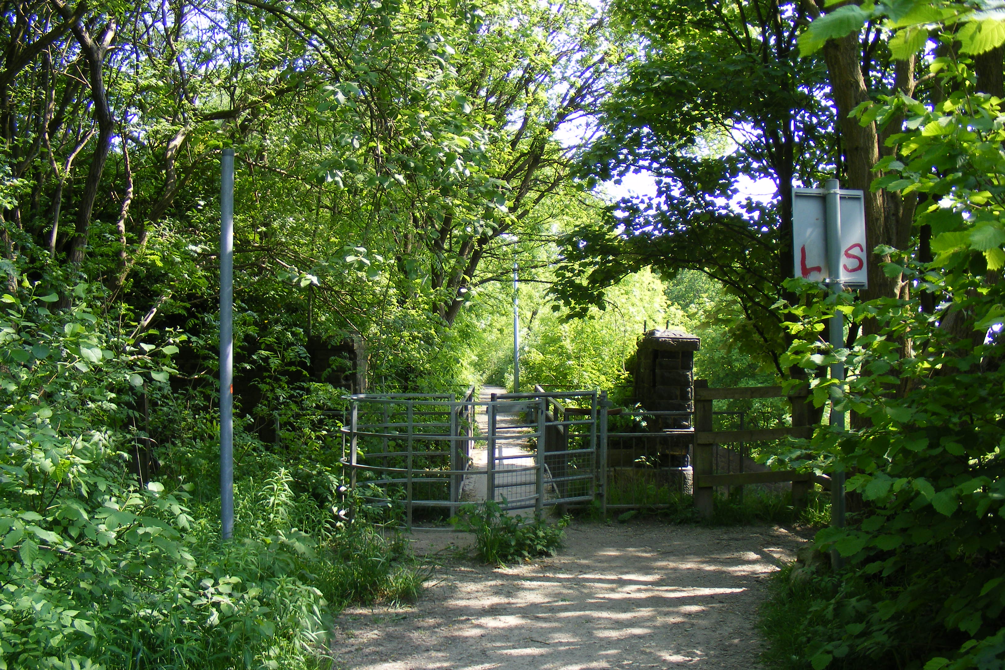
Greave is known for its strong sense of community, with various events and activities organized throughout the year. These include summer fairs, charity fundraisers, and local sports tournaments. The village also boasts several green spaces and walking trails, making it an attractive destination for outdoor enthusiasts.

Overall, Greave is a peaceful and charming village, perfect for those seeking a quiet and close community in a picturesque rural setting.

If you have any feedback on the listing, please let us know in the comments section below.
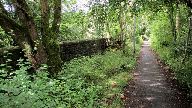
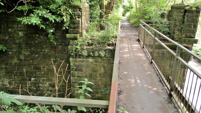
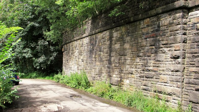
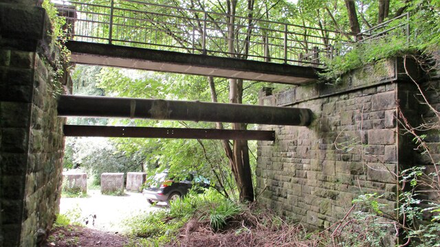
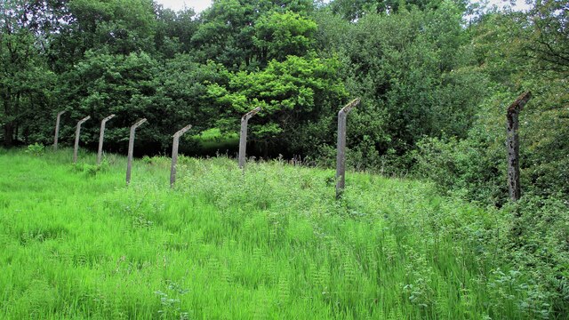
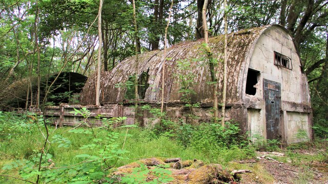
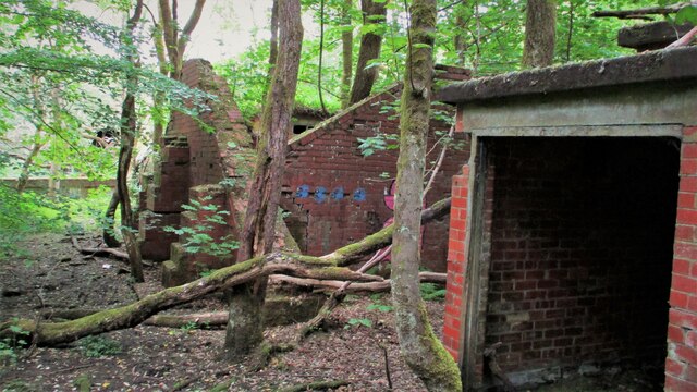
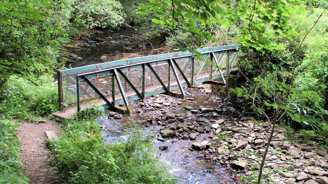
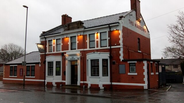
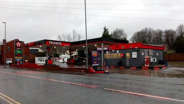
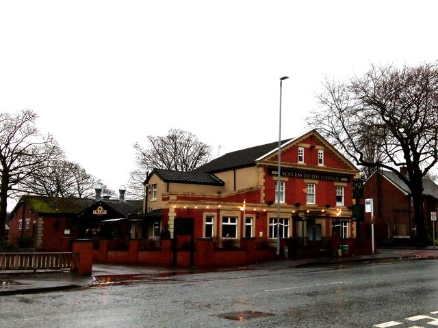
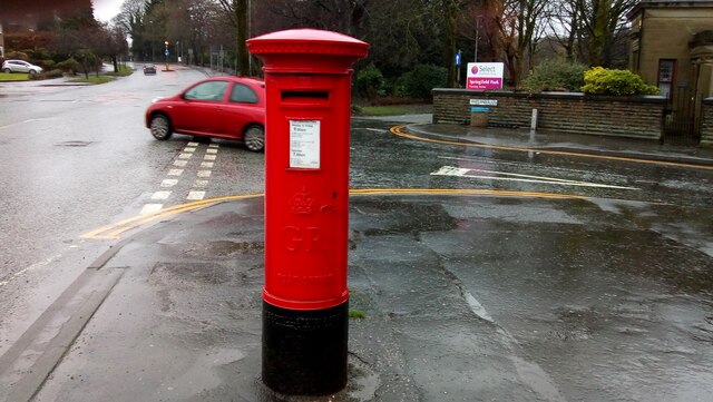
Greave Images

Images are sourced within 2km of 53.620142/-2.185165 or Grid Reference SD8713. Thanks to Geograph Open Source API. All images are credited.

Former Rochdale to Bacup Railway Trackbed at Shawclough Start of trail on trackbed with Dell Road retaining wall to the left
Former Rochdale to Bacup Railway Trackbed at Shawclough
Start of trail on trackbed with Dell Road retaining wall to the left
Footbridge replacement for Railway Bridge at Shawclough View towards Rochdale over former Shawclough Station access road
Footbridge replacement for Railway Bridge at Shawclough
View towards Rochdale over former Shawclough Station access road
Retaining Wall for Railway on Dell Road Shawclough Retaining Wall for Rochdale to Bacup Railway, view North
Retaining Wall for Railway on Dell Road Shawclough
Retaining Wall for Rochdale to Bacup Railway, view North
Railway Bridge Abutments at Shawclough Station Access Road Footbridge has replaced original Railway Bridge. Concrete Block barriers stop vehicle entry to Woodland Road from Dell Road
Railway Bridge Abutments at Shawclough Station Access Road
Footbridge has replaced original Railway Bridge. Concrete Block barriers stop vehicle entry to Woodland Road from Dell Road
Former Rochdale to Bacup Railway Trackbed after Shawclough Adverse Gradient after heading North from the former Shawclough Station at Dell Road bridge
Former Rochdale to Bacup Railway Trackbed after Shawclough
Adverse Gradient after heading North from the former Shawclough Station at Dell Road bridge
Siamese Railway Bridges at Healey The original bridge was found to be slipping down the hillside so another was built for the Rochdale to Bacup Railway.
Siamese Railway Bridges at Healey
The original bridge was found to be slipping down the hillside so another was built for the Rochdale to Bacup Railway.
Modern & WWII Pole Barriers Modern concrete block across Dell Road and WWII pole barrier still surviving from when the mill beyond was a munitions filling factory.
Modern & WWII Pole Barriers
Modern concrete block across Dell Road and WWII pole barrier still surviving from when the mill beyond was a munitions filling factory.
Dell Road North entrance to former WWII ROF Site MoD fencing poles mark entrance to former WWII munitions filling factory site in Healey Hall Mill
Dell Road North entrance to former WWII ROF Site
MoD fencing poles mark entrance to former WWII munitions filling factory site in Healey Hall Mill
Former WWII Fencing at ROF Healey Hall Mill WWII fencing remains on boundary of former munitions filling factory on West bank of River Spodden.
Former WWII Fencing at ROF Healey Hall Mill
WWII fencing remains on boundary of former munitions filling factory on West bank of River Spodden.
Former WWII Munitions Filling Site Nissen Hut One of the several huts which are extra long on the Healey Hall mills site
Former WWII Munitions Filling Site Nissen Hut
One of the several huts which are extra long on the Healey Hall mills site
Former WWII Munitions Filling Factory Buildings What appears to be a blast wall is visible in this complex at Healey Hall Mill site
Former WWII Munitions Filling Factory Buildings
What appears to be a blast wall is visible in this complex at Healey Hall Mill site
Footbridge across River Spodden Footpath links Healey Dell with Smallshaw Farm
Footbridge across River Spodden
Footpath links Healey Dell with Smallshaw Farm
The Harrows, Bolton Road, Rochdale See <a href="https://www.geograph.org.uk/photo/1743544">SD8711 : The Harrows</a> for another view.
The Harrows, Bolton Road, Rochdale
See SD8711 : The Harrows for another view.
Marland Service Station, Bolton Road, Rochdale Bolton Road is part of the A58 running between Prescot, Merseyside and Wetherby, West Yorkshire.
Marland Service Station, Bolton Road, Rochdale
Bolton Road is part of the A58 running between Prescot, Merseyside and Wetherby, West Yorkshire.
Success to the Plough, Bolton Road, Rochdale Situated at the corner of Matthew Moss Lane, with a bowling green at the rear. At present there are 2 other images on here, both taken looking south east, in sun. This is looking south west, in steady rain.
Success to the Plough, Bolton Road, Rochdale
Situated at the corner of Matthew Moss Lane, with a bowling green at the rear. At present there are 2 other images on here, both taken looking south east, in sun. This is looking south west, in steady rain.
George V Postbox, Bolton Road, Marland, Rochdale Postbox No. OL11 45D, situated at the corner of Marland Fold, near the entrance to Springfield Park.
George V Postbox, Bolton Road, Marland, Rochdale
Postbox No. OL11 45D, situated at the corner of Marland Fold, near the entrance to Springfield Park.
Springfield Park, Rochdale Photo taken from just inside the entrance on Bolton Road.
Springfield Park, Rochdale
Photo taken from just inside the entrance on Bolton Road.
Duke Street Mill, Rochdale Mid to late 19th century, with stone facades to Queen Street and Duke street, although the principal build material is brick.
Duke Street Mill, Rochdale
Mid to late 19th century, with stone facades to Queen Street and Duke street, although the principal build material is brick.
Show me another place!

Greave is located at Grid Ref: SD8713 (Lat: 53.620142, Lng: -2.185165)

Unitary Authority: Rochdale

Police Authority: Greater Manchester

What 3 Words

///potato.action.breath. Near Rochdale, Manchester

Related Wikis

Oulder Hill Leadership Academy

Oulder Hill Leadership Academy (formerly Oulder Hill Community School) is a co-educational secondary school for 11- to 16-year-olds, located in Rochdale...
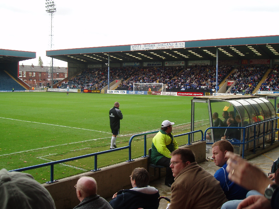
Spotland Stadium

Spotland Stadium, known as the Crown Oil Arena for sponsorship reasons, is a multi-purpose sports stadium in the Spotland area of Rochdale, Greater Manchester...

Spotland

Spotland ( SPOT-land) is a district of Rochdale in Greater Manchester, England. The Rochdale ward name is Spotland and Falinge. The population of this...

Falinge Park High School

Falinge Park High School is an 11–16 mixed comprehensive school in Shawclough area of the Metropolitan Borough of Rochdale in Greater Manchester, United...
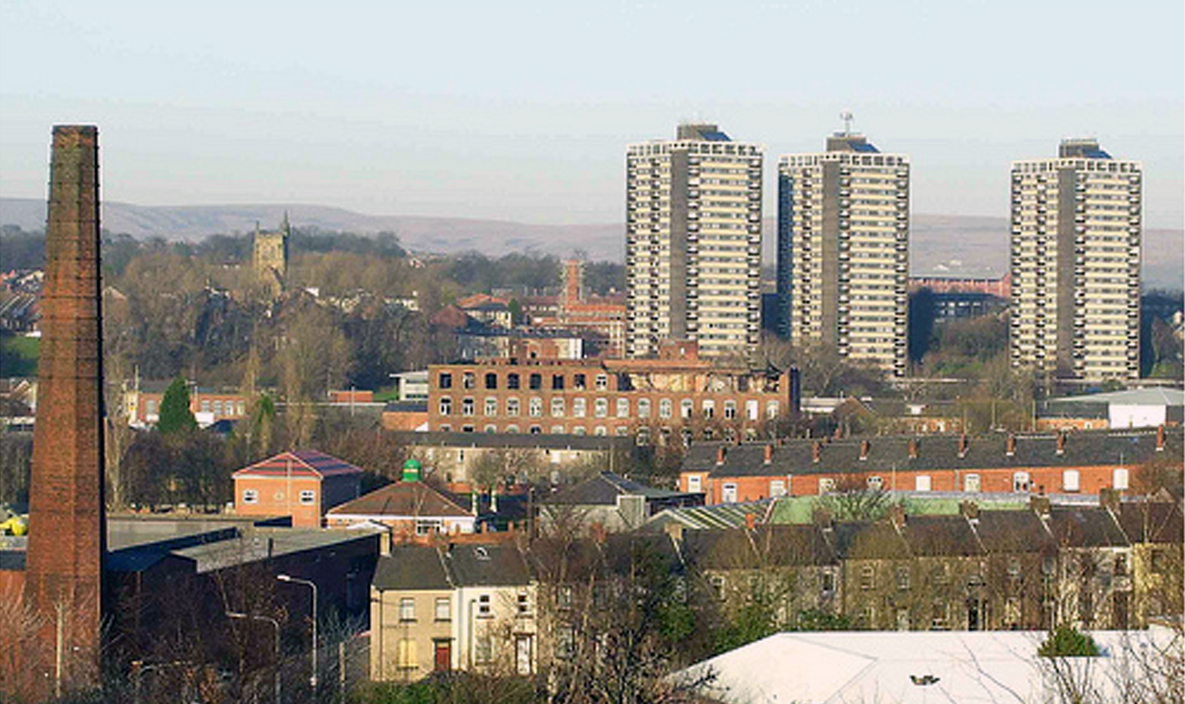
Shawclough

Shawclough is a mainly residential area north of Rochdale, Greater Manchester, England. Its boundaries are roughly Whitworth Road, Shawclough Road, and...

St Edmund's Church, Rochdale

Saint Edmund's Church (or the Church of Saint Edmund) is a redundant church building located on Clement Royds Street in the Falinge area of Rochdale, in...

River Spodden

The River Spodden is a watercourse in North West England, one of two major tributaries of the River Roch. It rises in the Lancashire South Pennine hills...

Shawclough and Healey railway station

Shawclough & Healey railway station served the townships of Shawclough and Healey in Rochdale, in the Metropolitan Borough of Rochdale in Greater Manchester...

Nearby Amenities

Located within 500m of 53.620142,-2.185165
Cutgate
Place: suburb
Source: npe
Lat/Long: 53.6233891/-2.1887703
Bus Stop
Ings Lane/Spotland Library
Bus: yes
Naptan AtcoCode: 1800NE16461
Naptan Bearing: N
Naptan CommonName: Ings Lane/Spotland Library
Naptan Indicator: Old Folks Home
Naptan Landmark: CARE HOME
Naptan NaptanCode: mandwtjd
Naptan PlusbusZoneRef: MNCRPIC
Naptan ShortCommonName: Spotland Library
Naptan Street: INGS LANE
Naptan Verified: no
Network: TfGM
Public Transport: platform
Source: naptan_import
Lat/Long: 53.6231892/-2.181947
Bus Stop
Hudsons Walk/Oulder Hill School
Bus: yes
Naptan AtcoCode: 1800NE00731
Naptan Bearing: W
Naptan CommonName: Hudsons Walk/Oulder Hill School
Naptan Indicator: Oulder Hill Sch
Naptan Landmark: OULDER HILL School
Naptan NaptanCode: mandwajw
Naptan PlusbusZoneRef: MNCRPIC
Naptan ShortCommonName: Oulder Hill Schl
Naptan Street: HUDSONS WALK
Naptan Verified: no
Network: TfGM
Public Transport: platform
Source: naptan_import
Lat/Long: 53.6172259/-2.1845216
Bus Stop
Ings Lane/Spotland Library
Bus: yes
Naptan AtcoCode: 1800NE21901
Naptan Bearing: S
Naptan CommonName: Ings Lane/Spotland Library
Naptan Indicator: Spotland Libr'y
Naptan Landmark: LIBRARY
Naptan NaptanCode: mangagpw
Naptan PlusbusZoneRef: MNCRPIC
Naptan ShortCommonName: Spotland Library
Naptan Street: INGS LANE
Naptan Verified: no
Network: TfGM
Public Transport: platform
Source: naptan_import
Lat/Long: 53.6227316/-2.1813705
Bus Stop
Sandy Lane/Edenfield Road
Bus: yes
Naptan AtcoCode: 1800NE25691
Naptan Bearing: S
Naptan CommonName: Sandy Lane/Edenfield Road
Naptan Indicator: O/s House 194
Naptan Landmark: HOUSE 194
Naptan NaptanCode: mangapwp
Naptan PlusbusZoneRef: MNCRPIC
Naptan ShortCommonName: Edenfield Road
Naptan Street: SANDY LANE
Naptan Verified: no
Network: TfGM
Public Transport: platform
Source: naptan_import
Lat/Long: 53.6215548/-2.1809119
Bus Stop
Sandy Lane/Spotland Stadium
Bus: yes
Naptan AtcoCode: 1800NE25701
Naptan Bearing: N
Naptan CommonName: Sandy Lane/Spotland Stadium
Naptan Indicator: O/s House 195
Naptan Landmark: HOUSE 195
Naptan NaptanCode: mangapwt
Naptan PlusbusZoneRef: MNCRPIC
Naptan ShortCommonName: Spotland Stadium
Naptan Street: SANDY LANE
Naptan Verified: no
Network: TfGM
Public Transport: platform
Source: naptan_import
Lat/Long: 53.6215004/-2.1812292
Bus Stop
Sandy Lane/Mons Avenue
Bus: yes
Naptan AtcoCode: 1800NE25711
Naptan Bearing: N
Naptan CommonName: Sandy Lane/Mons Avenue
Naptan Indicator: Denehurst Park
Naptan Landmark: DENEHURST PARK
Naptan NaptanCode: mangatad
Naptan PlusbusZoneRef: MNCRPIC
Naptan ShortCommonName: Mons Avenue
Naptan Street: SANDY LANE
Naptan Verified: no
Network: TfGM
Public Transport: platform
Source: naptan_import
Lat/Long: 53.6196046/-2.1807222
Bus Stop
Sandy Lane/Mons Avenue
Bus: yes
Naptan AtcoCode: 1800NE25721
Naptan Bearing: S
Naptan CommonName: Sandy Lane/Mons Avenue
Naptan Indicator: O/s House 140
Naptan Landmark: HOUSE 142
Naptan NaptanCode: mangatag
Naptan PlusbusZoneRef: MNCRPIC
Naptan ShortCommonName: Mons Avenue
Naptan Street: SANDY LANE
Naptan Verified: no
Network: TfGM
Public Transport: platform
Source: naptan_import
Lat/Long: 53.6190033/-2.1801451
Bus Stop
Edenfield Road/Cutgate Shopping Centre
Bus: yes
Naptan AtcoCode: 1800NE48691
Naptan Bearing: W
Naptan CommonName: Edenfield Road/Cutgate Shopping Centre
Naptan Indicator: Kwik Save
Naptan Landmark: SHOPPING CENTRE
Naptan NaptanCode: mangdwat
Naptan PlusbusZoneRef: MNCRPIC
Naptan ShortCommonName: Cutgate Shopping
Naptan Street: EDENFIELD ROAD
Naptan Verified: no
Network: TfGM
Public Transport: platform
Source: naptan_import
Lat/Long: 53.6228364/-2.1891877
Bus Stop
Edenfield Road/Cutgate Shopping Centre
Bus: yes
Naptan AtcoCode: 1800NE48701
Naptan Bearing: E
Naptan CommonName: Edenfield Road/Cutgate Shopping Centre
Naptan Indicator: Os House 356
Naptan Landmark: HOUSE 382
Naptan NaptanCode: mangdwaw
Naptan PlusbusZoneRef: MNCRPIC
Naptan ShortCommonName: Cutgate Shopping
Naptan Street: EDENFIELD ROAD
Naptan Verified: no
Network: TfGM
Public Transport: platform
Source: naptan_import
Lat/Long: 53.6228918/-2.1882203
Bus Stop
Edenfield Road/Passmonds Crescent
Bus: yes
Naptan AtcoCode: 1800NE48711
Naptan Bearing: W
Naptan CommonName: Edenfield Road/Passmonds Crescent
Naptan Indicator: Opp House 284
Naptan Landmark: PASSMONDS HSE
Naptan NaptanCode: mangdwda
Naptan PlusbusZoneRef: MNCRPIC
Naptan ShortCommonName: Passmonds Cres
Naptan Street: EDENFIELD ROAD
Naptan Verified: no
Network: TfGM
Public Transport: platform
Source: naptan_import
Lat/Long: 53.6220796/-2.1845276
Bus Stop
Edenfield Road/Passmonds Crescent
Bus: yes
Naptan AtcoCode: 1800NE48721
Naptan Bearing: E
Naptan CommonName: Edenfield Road/Passmonds Crescent
Naptan Indicator: O/s House 280
Naptan Landmark: HOUSE 284
Naptan NaptanCode: mangdwdg
Naptan PlusbusZoneRef: MNCRPIC
Naptan ShortCommonName: Passmonds Cres
Naptan Street: EDENFIELD ROAD
Naptan Verified: no
Network: TfGM
Public Transport: platform
Source: naptan_import
Lat/Long: 53.6220983/-2.184059
Bus Stop
Edenfield Road/Sandy Lane
Bench: no
Bus: yes
Naptan AtcoCode: 1800NE48731
Naptan Bearing: W
Naptan CommonName: Edenfield Road/Sandy Lane
Naptan Indicator: Hair Stylists
Naptan Landmark: PROPERTY 187
Naptan NaptanCode: mangdwdj
Naptan PlusbusZoneRef: MNCRPIC
Naptan ShortCommonName: Sandy Lane
Naptan Street: EDENFIELD ROAD
Naptan Verified: no
Network: TfGM
Public Transport: platform
Shelter: no
Source: naptan_import
Tactile Paving: no
Lat/Long: 53.6219932/-2.1822745
Bus Stop
Edenfield Road/Sandy Lane
Bench: yes
Bus: yes
Naptan AtcoCode: 1800NE48741
Naptan Bearing: E
Naptan CommonName: Edenfield Road/Sandy Lane
Naptan Indicator: Opp House 187
Naptan Landmark: NURSERY
Naptan NaptanCode: mangdwdm
Naptan PlusbusZoneRef: MNCRPIC
Naptan ShortCommonName: Sandy Lane
Naptan Street: EDENFIELD ROAD
Naptan Verified: no
Network: TfGM
Public Transport: platform
Shelter: yes
Source: naptan_import
Tactile Paving: no
Lat/Long: 53.6221276/-2.1825775
Bus Stop
Edenfield Road/Churchill Street
Bus: yes
Naptan AtcoCode: 1800NE48751
Naptan Bearing: W
Naptan CommonName: Edenfield Road/Churchill Street
Naptan Indicator: O/s House 99
Naptan Landmark: HOUSE 99
Naptan NaptanCode: mangdwdp
Naptan PlusbusZoneRef: MNCRPIC
Naptan ShortCommonName: Churchill Street
Naptan Street: EDENFIELD ROAD
Naptan Verified: no
Network: TfGM
Public Transport: platform
Source: naptan_import
Lat/Long: 53.6225016/-2.1789051
Bus Stop
Edenfield Road/Churchill Street
Bus: yes
Naptan AtcoCode: 1800NE48761
Naptan Bearing: E
Naptan CommonName: Edenfield Road/Churchill Street
Naptan Indicator: O/s House 72
Naptan Landmark: HOUSE 72
Naptan NaptanCode: mangdwdt
Naptan PlusbusZoneRef: MNCRPIC
Naptan ShortCommonName: Churchill Street
Naptan Street: EDENFIELD ROAD
Naptan Verified: no
Network: TfGM
Public Transport: platform
Source: naptan_import
Lat/Long: 53.6226451/-2.1791325
Bus Stop
Sandy Lane/Hudsons Walk
Bus: yes
Naptan AtcoCode: 1800NE25731
Naptan Bearing: S
Naptan CommonName: Sandy Lane/Hudsons Walk
Naptan Indicator: O/s House 106
Naptan Landmark: HOUSE 116
Naptan NaptanCode: mangataj
Naptan PlusbusZoneRef: MNCRPIC
Naptan ShortCommonName: Hudsons Walk
Naptan Street: SANDY LANE
Naptan Verified: no
Network: TfGM
Public Transport: platform
Shelter: yes
Source: naptan_import
Lat/Long: 53.6170801/-2.1798648
Bus Stop
Sandy Lane/Hudsons Walk
Bus: yes
Naptan AtcoCode: 1800NE25741
Naptan Bearing: N
Naptan CommonName: Sandy Lane/Hudsons Walk
Naptan Indicator: Opp House 108
Naptan Landmark: HOUSE 108
Naptan NaptanCode: mangatam
Naptan PlusbusZoneRef: MNCRPIC
Naptan ShortCommonName: Hudsons Walk
Naptan Street: SANDY LANE
Naptan Verified: no
Network: TfGM
Public Transport: platform
Shelter: yes
Source: naptan_import
Lat/Long: 53.6171518/-2.1800465
Oulder Hill Leisure Complex
Leisure: sports_centre
Lat/Long: 53.6178651/-2.1869588
Generator Method: photovoltaic
Generator Output Electricity: yes
Generator Source: solar
Generator Type: solar_photovoltaic_panel
Location: roof
Power: generator
Lat/Long: 53.622704/-2.1791851
Generator Method: photovoltaic
Generator Output Electricity: yes
Generator Source: solar
Generator Type: solar_photovoltaic_panel
Location: roof
Power: generator
Lat/Long: 53.6184567/-2.1805252
Generator Method: photovoltaic
Generator Output Electricity: yes
Generator Source: solar
Generator Type: solar_photovoltaic_panel
Location: roof
Power: generator
Lat/Long: 53.6181842/-2.1815699
Generator Method: photovoltaic
Generator Output Electricity: yes
Generator Source: solar
Generator Type: solar_photovoltaic_panel
Location: roof
Power: generator
Lat/Long: 53.6184539/-2.1805802
Generator Method: photovoltaic
Generator Output Electricity: yes
Generator Source: solar
Generator Type: solar_photovoltaic_panel
Location: roof
Power: generator
Lat/Long: 53.6229056/-2.1821708
Generator Method: photovoltaic
Generator Output Electricity: yes
Generator Source: solar
Generator Type: solar_photovoltaic_panel
Location: roof
Power: generator
Lat/Long: 53.6227704/-2.1820983
Generator Method: photovoltaic
Generator Output Electricity: yes
Generator Source: solar
Generator Type: solar_photovoltaic_panel
Location: roof
Power: generator
Lat/Long: 53.622737/-2.1822727
Generator Method: photovoltaic
Generator Output Electricity: yes
Generator Source: solar
Generator Type: solar_photovoltaic_panel
Location: roof
Power: generator
Lat/Long: 53.6227131/-2.1824095
Generator Method: photovoltaic
Generator Output Electricity: yes
Generator Source: solar
Generator Type: solar_photovoltaic_panel
Location: roof
Power: generator
Lat/Long: 53.6226893/-2.1825382
Generator Method: photovoltaic
Generator Output Electricity: yes
Generator Source: solar
Generator Type: solar_photovoltaic_panel
Location: roof
Power: generator
Lat/Long: 53.6225771/-2.1827193
Generator Method: photovoltaic
Generator Output Electricity: yes
Generator Source: solar
Generator Type: solar_photovoltaic_panel
Location: roof
Power: generator
Lat/Long: 53.6225397/-2.182907
Generator Method: photovoltaic
Generator Output Electricity: yes
Generator Source: solar
Generator Type: solar_photovoltaic_panel
Location: roof
Power: generator
Lat/Long: 53.6224459/-2.1831256
Generator Method: photovoltaic
Generator Output Electricity: yes
Generator Source: solar
Generator Type: solar_photovoltaic_panel
Location: roof
Power: generator
Lat/Long: 53.6226942/-2.1820593
Generator Method: photovoltaic
Generator Output Electricity: yes
Generator Source: solar
Generator Type: solar_photovoltaic_panel
Location: roof
Power: generator
Lat/Long: 53.6225638/-2.1827781
Generator Method: photovoltaic
Generator Output Electricity: yes
Generator Source: solar
Generator Type: solar_photovoltaic_panel
Location: roof
Power: generator
Lat/Long: 53.6225519/-2.1828371
Generator Method: photovoltaic
Generator Output Electricity: yes
Generator Source: solar
Generator Type: solar_photovoltaic_panel
Location: roof
Power: generator
Lat/Long: 53.6225256/-2.1829793
Generator Method: photovoltaic
Generator Output Electricity: yes
Generator Source: solar
Generator Type: solar_photovoltaic_panel
Location: roof
Power: generator
Lat/Long: 53.6225137/-2.1830329
Generator Method: photovoltaic
Generator Output Electricity: yes
Generator Source: solar
Generator Type: solar_photovoltaic_panel
Location: roof
Power: generator
Lat/Long: 53.6220242/-2.1867512
Generator Method: photovoltaic
Generator Output Electricity: yes
Generator Source: solar
Generator Type: solar_photovoltaic_panel
Location: roof
Power: generator
Lat/Long: 53.6221961/-2.185616
Generator Method: photovoltaic
Generator Output Electricity: yes
Generator Source: solar
Generator Type: solar_photovoltaic_panel
Location: roof
Power: generator
Lat/Long: 53.6217808/-2.1909921
Generator Method: photovoltaic
Generator Output Electricity: yes
Generator Source: solar
Generator Type: solar_photovoltaic_panel
Location: roof
Power: generator
Lat/Long: 53.6222428/-2.1855669
Barrier: kissing_gate
Lat/Long: 53.6210952/-2.1874955
Crossing
Crossing: traffic_signals
Tactile Paving: yes
Lat/Long: 53.6229174/-2.1895694
Sayers
Addr Postcode: OL11 5AQ
Brand: Sayers
Brand Wikidata: Q7429211
Shop: bakery
Website: https://www.sayersthebakers.co.uk
Lat/Long: 53.6223263/-2.1885734
The data included in this document is from www.openstreetmap.org. The data is made available under ODbL.

Have you been to Greave?

Leave your review of Greave below (or comments, questions and feedback).