Hawkins Pond

Lake, Pool, Pond, Freshwater Marsh in Sussex Horsham

England

Hawkins Pond

Inholms Gill A tributary of the River Arun that rises in St Leonard's Forest.
Inholms Gill Credit: Simon Carey

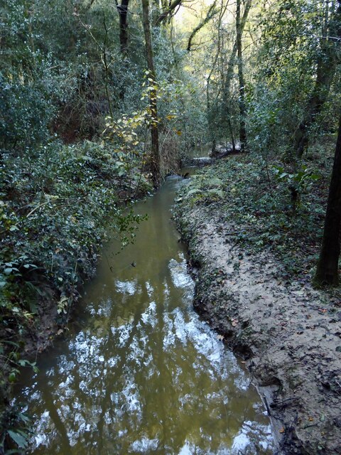
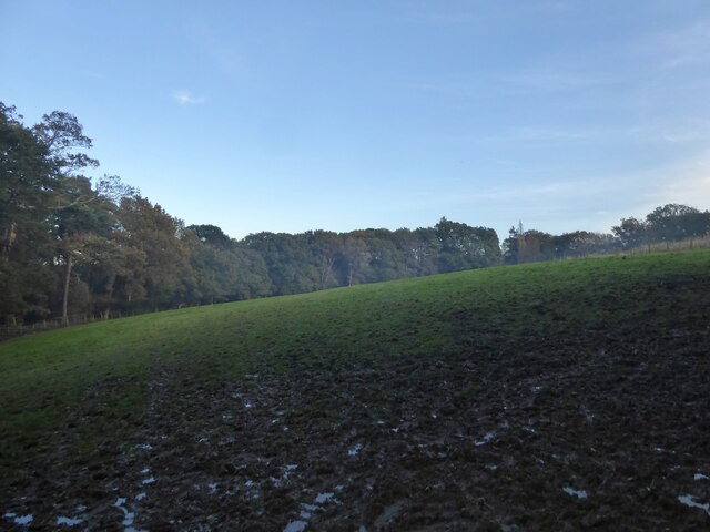
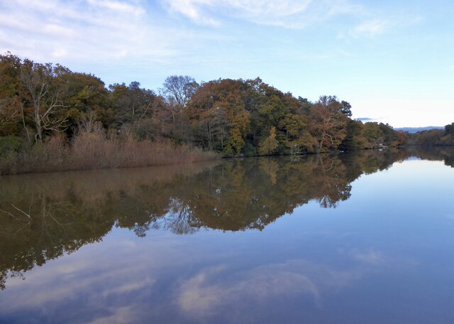
Hawkins Pond is a picturesque freshwater pond located in Sussex, England. Nestled amidst the rolling hills and verdant landscapes, this serene body of water offers a tranquil escape for nature enthusiasts and visitors seeking respite from the bustling city life. With an area of approximately 10 acres, the pond boasts crystal-clear waters that are teeming with a diverse array of aquatic flora and fauna.

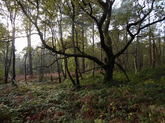
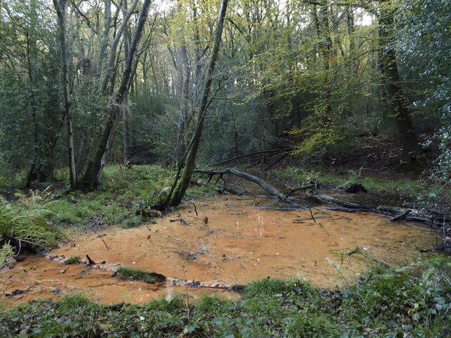
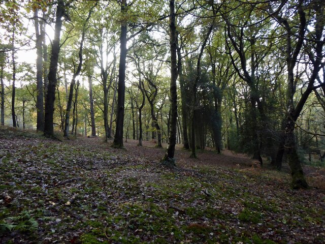
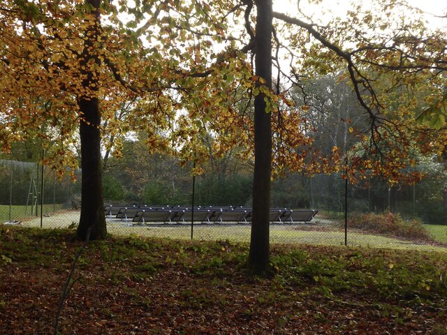
Surrounded by lush vegetation, Hawkins Pond serves as a vital habitat for various species of plants and animals. Its shores are lined with vibrant reeds, water lilies, and other aquatic plants, creating a beautiful tapestry of colors and textures. The pond also supports a range of wildlife, including ducks, swans, herons, and numerous fish species. Birdwatchers can often spot a variety of avian species, including kingfishers and warblers, making it a popular destination for bird enthusiasts.

Visitors to Hawkins Pond can engage in a multitude of activities. Fishing enthusiasts can cast their lines into the tranquil waters, hoping to catch a prized specimen. The pond is home to a healthy population of carp, tench, and perch, providing ample opportunities for anglers of all skill levels. Additionally, the calm and peaceful environment of Hawkins Pond is perfect for leisurely walks, picnics, and photography.

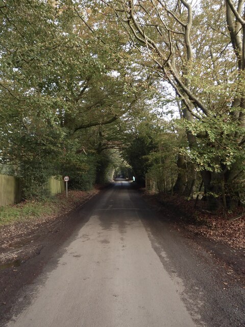
Located a short distance from the charming village of Sussex, Hawkins Pond offers an idyllic retreat for locals and tourists alike. Its natural beauty and serene ambiance make it a must-visit destination for those seeking solace in the arms of nature.

If you have any feedback on the listing, please let us know in the comments section below.
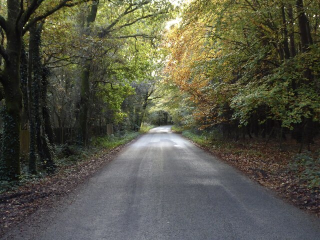
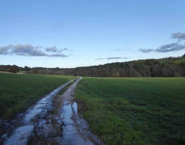
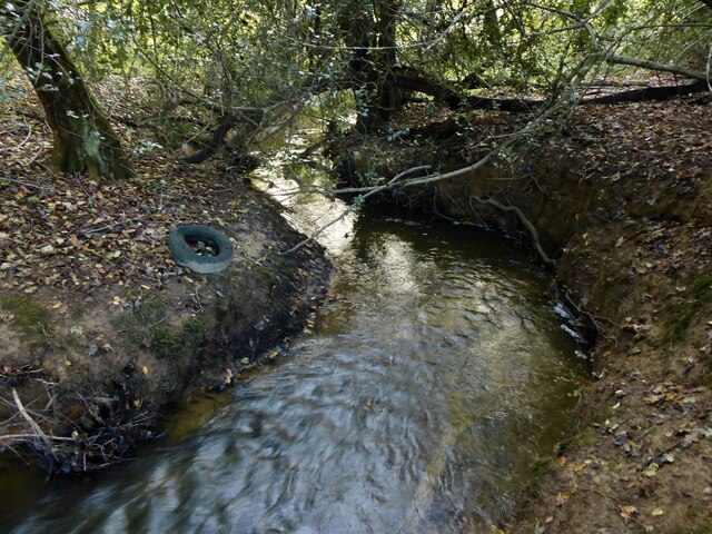
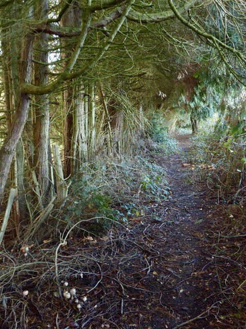
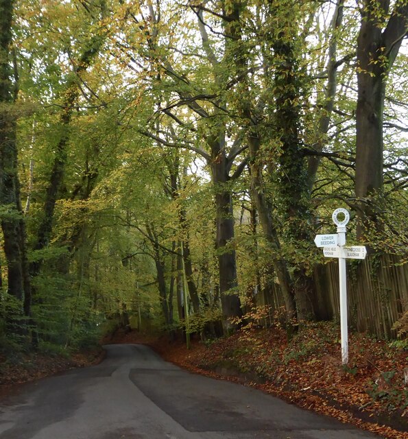
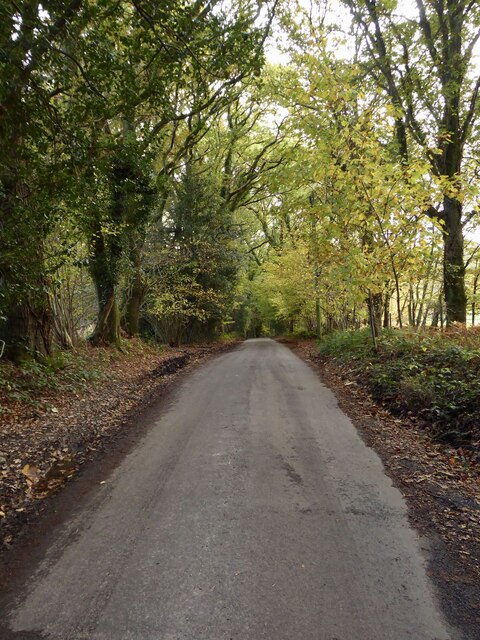
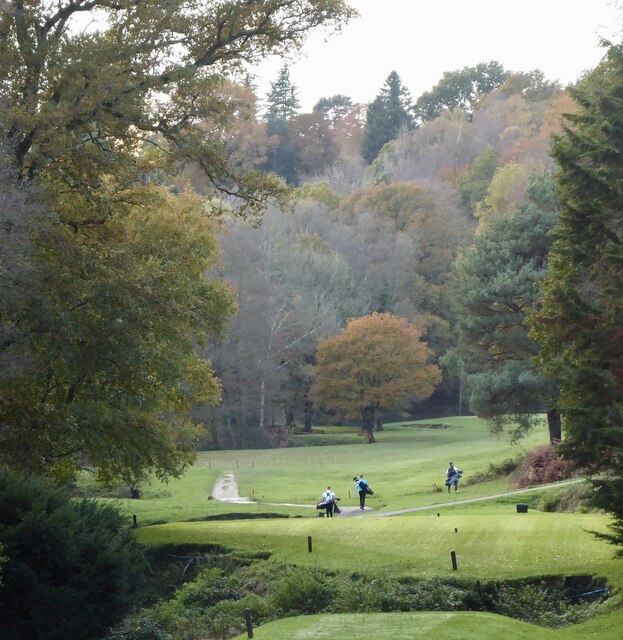
Hawkins Pond Images

Images are sourced within 2km of 51.052129/-0.26360052 or Grid Reference TQ2129. Thanks to Geograph Open Source API. All images are credited.

Inholms Gill A tributary of the River Arun that rises in St Leonard's Forest.
Inholms Gill
A tributary of the River Arun that rises in St Leonard's Forest.
Track, St Leonard's Forest The surfaced track heads north from the car park on Hammerpond Road to Mick's Cross.
Track, St Leonard's Forest
The surfaced track heads north from the car park on Hammerpond Road to Mick's Cross.
Grouse Road A minor road that links Hammerpond Road at Bucks Head to Pease Pottage, the latter an old entrance to St Leonard's Forest. Old Copse is on the right.
Grouse Road
A minor road that links Hammerpond Road at Bucks Head to Pease Pottage, the latter an old entrance to St Leonard's Forest. Old Copse is on the right.
St Leonard's Forest An open area of the forest located on the western side of Newstead Gill.
St Leonard's Forest
An open area of the forest located on the western side of Newstead Gill.
Newstead Gill A part of the River Arun catchment area that rises to the south of Pease Pottage and feeds Hammer Pond before joining Goldings Stream.
Newstead Gill
A part of the River Arun catchment area that rises to the south of Pease Pottage and feeds Hammer Pond before joining Goldings Stream.
Public Footpath 1702 Linking the High Weald Landscape Trail to the east of Grouse Road with Hammerpond Road, crossing Newstead Gill and Carterslodge Gill in the process. Plenty of fungi on the ground.
Public Footpath 1702
Linking the High Weald Landscape Trail to the east of Grouse Road with Hammerpond Road, crossing Newstead Gill and Carterslodge Gill in the process. Plenty of fungi on the ground.
St Leonard's Forest An area of the forest located to the north of Carterslodge Gill and east of Newstead Gill.
St Leonard's Forest
An area of the forest located to the north of Carterslodge Gill and east of Newstead Gill.
Carterslodge Gill Part of the River Arun catchment area that rises near Handcross and feeds Hammer Pond.
Carterslodge Gill
Part of the River Arun catchment area that rises near Handcross and feeds Hammer Pond.
Boggy Area, Hammerhill Wood Located to the immediate south of Carterslodge Gill.
Boggy Area, Hammerhill Wood
Located to the immediate south of Carterslodge Gill.
Hammerhill Wood Located on the southern side of Carterslodge Gill.
Hammerhill Wood
Located on the southern side of Carterslodge Gill.
Field next to Hammerhill Wood Not named as Lower Beeding parish was only formed in 1838 and thus was not surveyed for tithes. The mist is actually smoke from a nearby bonfire.
Field next to Hammerhill Wood
Not named as Lower Beeding parish was only formed in 1838 and thus was not surveyed for tithes. The mist is actually smoke from a nearby bonfire.
Hammerpond Road A minor road linking Alford Crossways to the eastern edge of Horsham passing three former hammer ponds.
Hammerpond Road
A minor road linking Alford Crossways to the eastern edge of Horsham passing three former hammer ponds.
Jacksons Farmhouse, Hammerpond Road Dating from the 19th century.
Jacksons Farmhouse, Hammerpond Road
Dating from the 19th century.
Solar Panels, Woodbank, Hammerpond Road An old tennis court now used for generating electricity.
Solar Panels, Woodbank, Hammerpond Road
An old tennis court now used for generating electricity.
Hammerpond Road Viewed from the junction with Church Lane as it descends into a small valley containing Hammer Pond. This section is marked as Hammer Hill on older OS maps.
Hammerpond Road
Viewed from the junction with Church Lane as it descends into a small valley containing Hammer Pond. This section is marked as Hammer Hill on older OS maps.
Church Lane Heading south from Hammerpond Road to Lower Beeding.
Church Lane
Heading south from Hammerpond Road to Lower Beeding.
Hammer Pond The surviving hammer pond that once powered St Leonards Upper Forge which operated between 1554 and 1655. The pond bay still survives at the southern end, see <a href="https://www.geograph.org.uk/photo/7654201">TQ2128 : Pond Bay, St Leonards Upper Forge</a>, though the former site, see <a href="https://www.geograph.org.uk/photo/7654197">TQ2128 : Site of St Leonards Upper Forge</a>, has been landscaped by Mannings Heath Golf Club. <a href="https://www.geograph.org.uk/photo/7654199">TQ2128 : Hammer Pond Cottage, Hammerpond Road</a> at the western end is linked too.
Hammer Pond
The surviving hammer pond that once powered St Leonards Upper Forge which operated between 1554 and 1655. The pond bay still survives at the southern end, see TQ2128 : Pond Bay, St Leonards Upper Forge, though the former site, see TQ2128 : Site of St Leonards Upper Forge, has been landscaped by Mannings Heath Golf Club. TQ2128 : Hammer Pond Cottage, Hammerpond Road at the western end is linked too.
Mannings Heath Golf Club This section adjacent to Goldings Stream, viewed from Hammerpond Road, is believed to be the site of the former hammer pond for St Leonards Lower Forge. The works operated from 1554 to 1655, often in conjunction with a furnbace built on the site as well as the Upper Forge. <a href="https://www.geograph.org.uk/photo/7654210">TQ2129 : Hawkins Pond</a> was a pen pond for the Lower Forge.
Mannings Heath Golf Club
This section adjacent to Goldings Stream, viewed from Hammerpond Road, is believed to be the site of the former hammer pond for St Leonards Lower Forge. The works operated from 1554 to 1655, often in conjunction with a furnbace built on the site as well as the Upper Forge. TQ2129 : Hawkins Pond was a pen pond for the Lower Forge.
Show me another place!

Hawkins Pond is located at Grid Ref: TQ2129 (Lat: 51.052129, Lng: -0.26360052)

Administrative County: West Sussex

District: Horsham

Police Authority: Sussex

What 3 Words

///uniforms.scores.sprouting. Near Handcross, West Sussex

Related Wikis

Mannings Heath Golf & Wine Estate

Mannings Heath Golf & Wine Estate is located in Mannings Heath, Horsham in the south of England. The 500 acre parkland site includes two golf courses and...

St Leonard's Forest SSSI

St Leonard's Forest SSSI is an 85.4-hectare (211-acre) biological Site of Special Scientific Interest east of Horsham in West Sussex. The SSSI is in two...

St Leonard's Forest

St Leonard's Forest is at the western end of the Wealden Forest Ridge which runs from Horsham to Tonbridge, and is part of the High Weald Area of Outstanding...

Mannings Heath

Mannings Heath is a village in the civil parish of Nuthurst and the Horsham District of West Sussex, England. The village is on the A281 road, 2 miles...

Lower Beeding

Lower Beeding is a village and civil parish in the Horsham District of West Sussex, England. The village lies on the B2110, B2115 and A281 roads 3.5 miles...

St Leonard's Park Ponds

St Leonard's Park Ponds is a 3.9-hectare (9.6-acre) biological Site of Special Scientific Interest east of Horsham in West Sussex.These ponds and adjacent...

Newells Preparatory School

Newells Preparatory School came to Lower Beeding, Sussex, in 1946. It has been at Handcross and known as Handcross Park School since 1968. It merged with...

Monk's Gate

Monk's Gate is a hamlet in the civil parish of Nuthurst, in the Horsham District of West Sussex, England. It lies on the A281 road 3 miles (5 km) southeast...

Nearby Amenities

Located within 500m of 51.052129,-0.26360052
Addr City: Horsham
Addr Housename: Tattleton Lodge A
Addr Postcode: RH13 6PF
Addr Street: Hammerpond Road
Addr Suburb: Plummers Plain
Lat/Long: 51.0480137/-0.2616255
Addr City: Plummers Plain
Addr Housename: Tattleton Lodge B
Addr Postcode: RH13 6PF
Addr Street: Hammerpond Road
Lat/Long: 51.0479466/-0.2617549
Bucks Head
Place: hamlet
Lat/Long: 51.0485574/-0.263673
Post Box
Post Box Type: lamp
Ref: RH13 165
Royal Cypher: EIIR
Royal Cypher Wikidata: Q33102113
Lat/Long: 51.0486487/-0.2641109
Tattleton House
Place: isolated_dwelling
Lat/Long: 51.0492736/-0.2585519
The data included in this document is from www.openstreetmap.org. The data is made available under ODbL.

Have you been to Hawkins Pond?

Leave your review of Hawkins Pond below (or comments, questions and feedback).