West Lake
Lake, Pool, Pond, Freshwater Marsh in Sussex Adur
England
West Lake
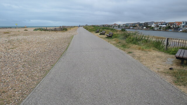
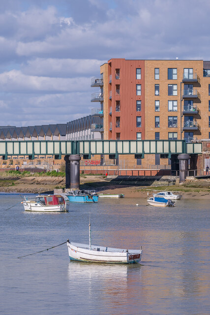
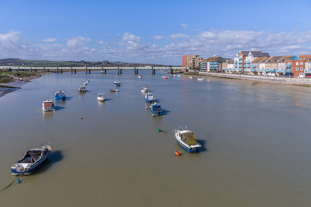
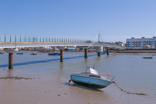
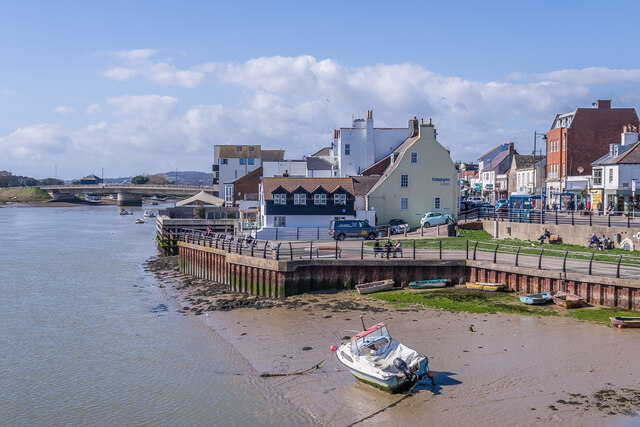
West Lake, Sussex, is a picturesque freshwater body located in the southern part of England. Spread over an area of approximately 100 acres, it is a popular destination for nature enthusiasts, anglers, and families seeking a peaceful retreat.
Surrounded by lush greenery and rolling hills, West Lake offers a serene and idyllic setting. Its crystal-clear waters are home to a diverse range of aquatic plants and wildlife, making it an important ecological haven. The lake is fed by several small streams and springs, ensuring a constant flow of freshwater throughout the year.
West Lake is renowned for its rich biodiversity. The surrounding marshes and wetlands provide a habitat for a variety of bird species, including herons, swans, ducks, and geese. Birdwatchers flock to the lake to catch a glimpse of these avian residents, particularly during the migratory seasons.
Anglers are drawn to West Lake by its abundance of fish species, including carp, pike, perch, and tench. The lake is well-stocked, providing a rewarding experience for both novice and experienced fishermen. Fishing permits are available, and visitors can enjoy a tranquil day on the water, surrounded by the natural beauty of the area.
For those seeking recreational activities, West Lake offers opportunities for boating, kayaking, and canoeing. The calm waters and scenic surroundings make it an ideal spot for a leisurely paddle or a peaceful picnic on the shore.
Overall, West Lake, Sussex, offers a haven of natural beauty and tranquility. Whether it's for fishing, birdwatching, or simply enjoying the peaceful atmosphere, visitors are sure to find solace in the serene surroundings of this freshwater gem.
If you have any feedback on the listing, please let us know in the comments section below.
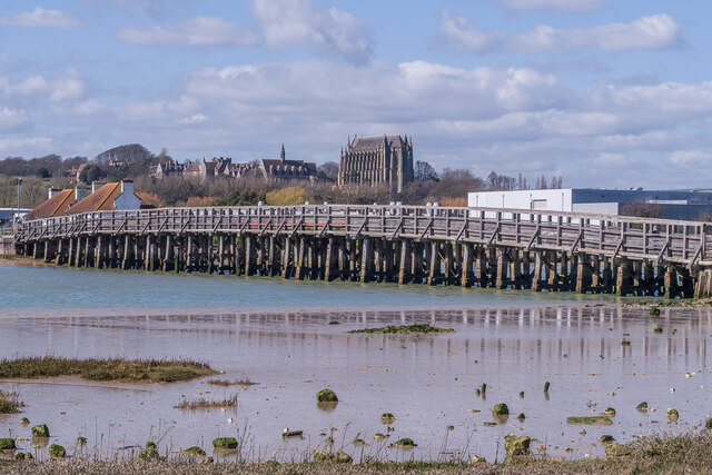
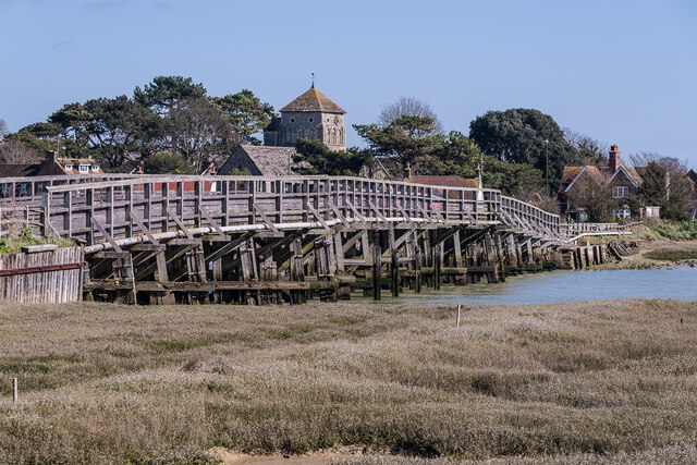
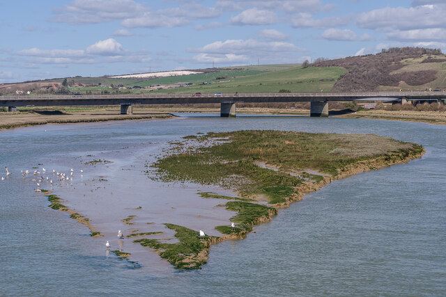
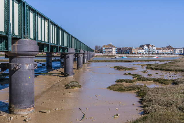
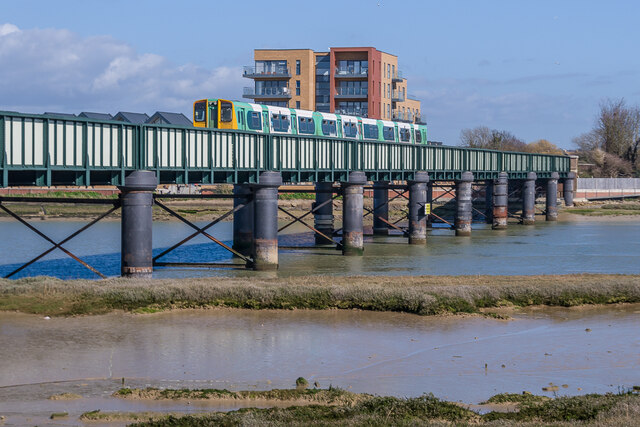
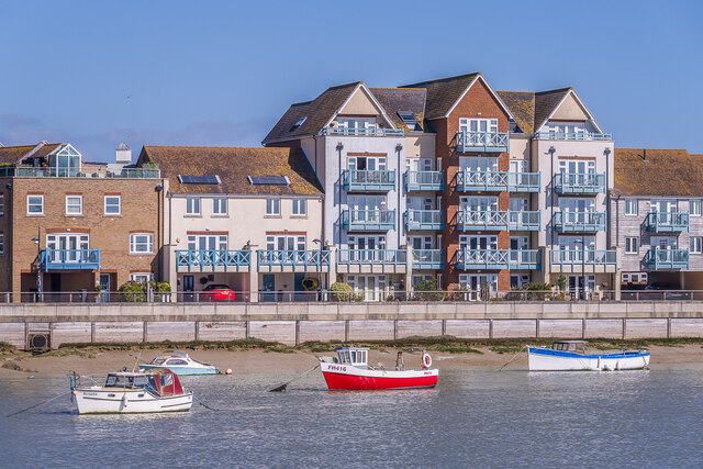
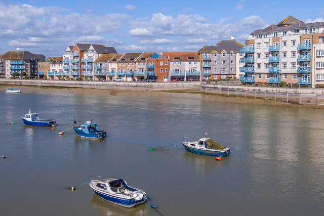
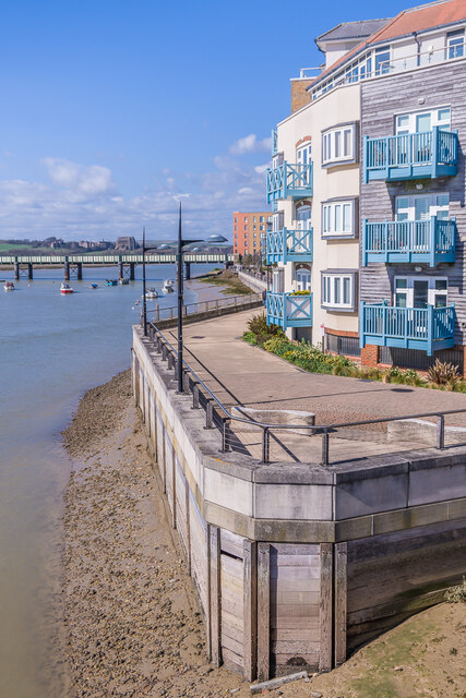
West Lake Images
Images are sourced within 2km of 50.835643/-0.27988424 or Grid Reference TQ2105. Thanks to Geograph Open Source API. All images are credited.

West Lake is located at Grid Ref: TQ2105 (Lat: 50.835643, Lng: -0.27988424)
Administrative County: West Sussex
District: Adur
Police Authority: Sussex
What 3 Words
///copes.lads.elbowing. Near Shoreham-by-Sea, West Sussex
Nearby Locations
Related Wikis

St Peter's Church, Shoreham-by-Sea
The name St Peter's Church has been borne by two Roman Catholic churches in the town of Shoreham-by-Sea in the district of Adur, in the English county...

Adur Estuary
Adur Estuary is a 62.2-hectare (154-acre) biological Site of Special Scientific Interest on the western outskirts of Shoreham-by-Sea in West Sussex. Part...

Shoreham Town Hall
Shoreham Town Hall is a municipal building in the High Street, Shoreham-by-Sea, West Sussex, England. The town hall, which was the headquarters of Shoreham...

Marlipins Museum
Marlipins Museum, is a 12th to early-13th century Grade II* listed building on the High Street in Shoreham-by-Sea, a town in Adur district in West Sussex...
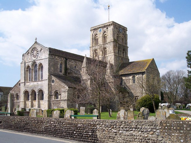
St Mary de Haura Church, Shoreham-by-Sea
St Mary de Haura Church is an Anglican church in the ancient "New Shoreham" area of Shoreham-by-Sea in the district of Adur, one of seven local government...

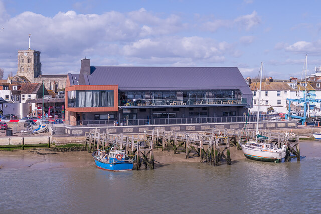
Shoreham-by-Sea
Shoreham-by-Sea (often shortened to Shoreham) is a coastal town and port in West Sussex, England. The town is bordered to its north by the South Downs...
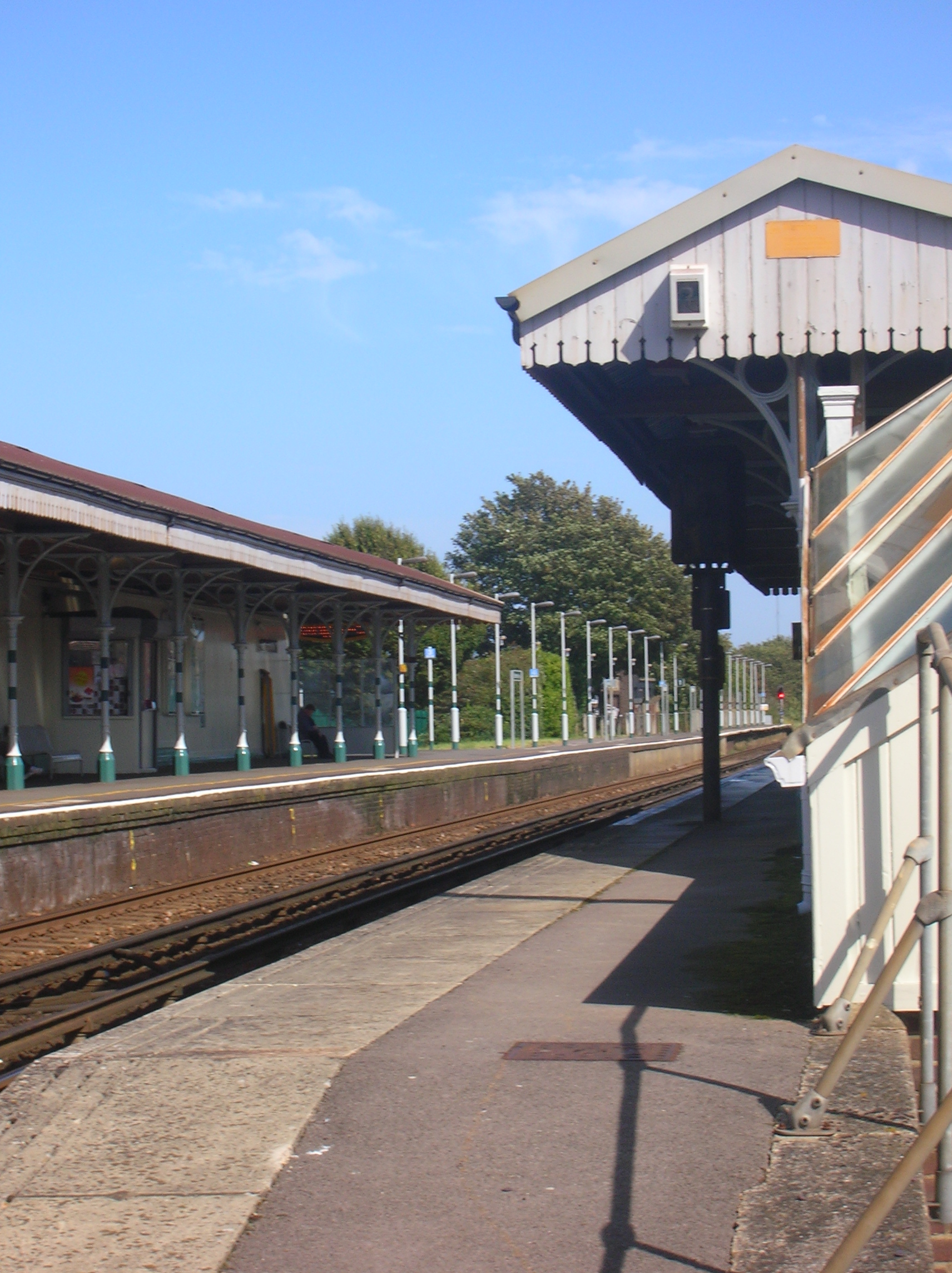
Shoreham-by-Sea railway station
Shoreham-by-Sea railway station serves the town of Shoreham-by-Sea in the county of West Sussex, and also serves the nearby Shoreham Airport. The station...

Red Lion Inn, Shoreham-by-Sea
The Red Lion Inn is a 16th-century public house in the ancient Old Shoreham part of the town of Shoreham-by-Sea, in the Adur district of West Sussex, England...
Nearby Amenities
Located within 500m of 50.835643,-0.27988424Have you been to West Lake?
Leave your review of West Lake below (or comments, questions and feedback).